Pete's Walks- Circular walk from Chesham (page 3 of 5)
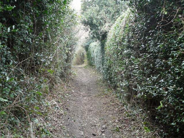
I turned right and followed the road along the valley for about a quarter of a mile, until it turned sharply right. Here I turned left onto a hedge-lined bridleway, which rose steeply for a few yards then turned right and levelled out. After a while it turned left and rose again for a few yards, before once more turning right and levelling out again. I was a bit apprehensive now, as I'd remembered earlier (on the road to Latimer) that one reason I'd been putting off this walk was because of how muddy this bridleway had been when I came this way last July on a Chenies, Ley Hill, Chipperfield Common walk. Fortunately it wasn't too bad, in fact probably a bit less muddy than it had been in the summer, and I fairly quickly got through the bad section where there were trees and bushes either side. Beyond that, the bridleway was a pleasant grassy track heading towards the distant Flounden End Farm.
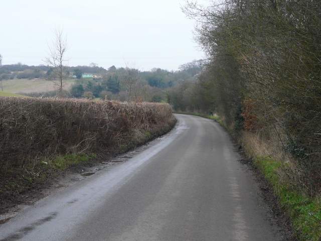
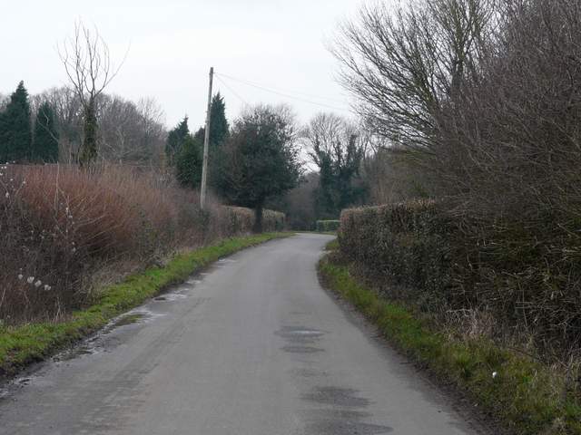
The road through Flaunden Bottom
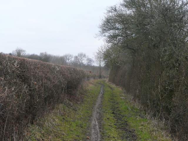
The bridleway from Flaunden Bottom, heading northwest towards Ley Hill
The bridleway from Flaunden Bottom, heading northwest towards Ley Hill
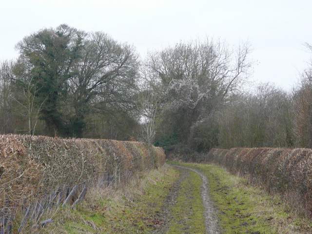
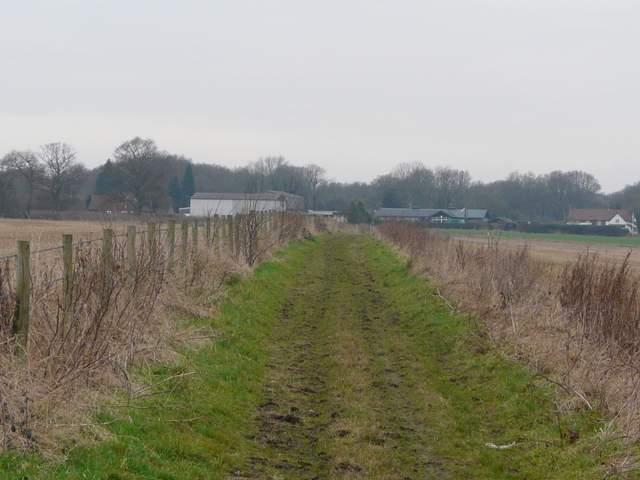
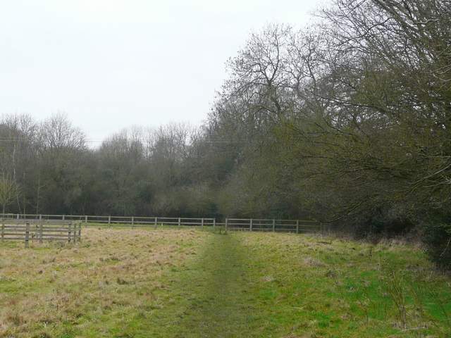
The very muddy section of the bridleway from Flaunden Bottom
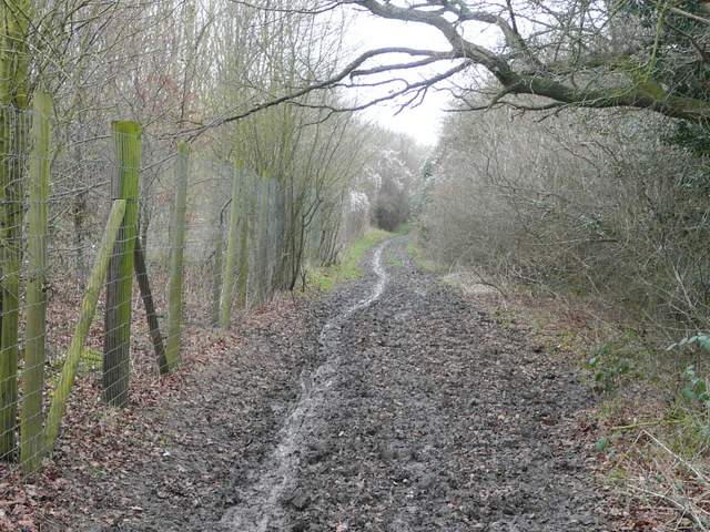
The bridleway heading towards Flounden End Farm
At the end of the track I turned right and followed a lane into Ley Hill. I soon had the fairways of a golf course on either side, and the lane ended at a complicated three-way junction close to the village sign. I went a few yards left along a lane, then turned right along a roughly surfaced track in front of some houses, parallel to the main road. Just past the Primitive Methodist Chapel (which was clearly being used), I took a footpath along an alley on the left. This soon passed playing fields over the hedge on my right, and eventually came to a stile leading into an empty paddock. The path continued through this and the next paddock to reach a wood.
The lane past Flounden End Farm, heading into Ley Hill
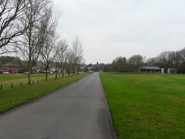
The lane approaching Ley Hill, with parts of a golf course either side
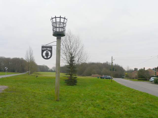
Looking back at the Ley Hill village sign
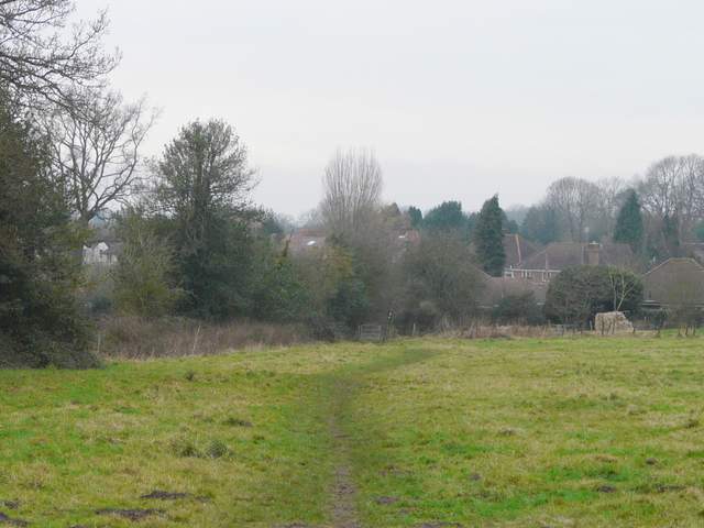
The path from Ley Hill, heading west through paddocks to a wood
A few yards into the wood, I followed the main path as I turned right - I was concentrating on my navigation now as I've had difficulties with the multitude of paths in this wood in the past, though it's fairly straightforward in this direction. I kept left at a fork (though the path was faint and I had to clamber over some fallen trees) and then turned left at a waymarked junction. A little further on, by some large hollows, I followed the path as it turned right. I kept right at a fork, ignoring the kissing-gate along the left fork, and soon came to a similar gate. Out of the wood, the path now followed a left-hand hedge through an empty pasture. Beyond that I turned left along a bridleway intriguingly named Broomstick Lane until I reached Tyler's Hill Road in Botley (Bottom Lane, which I'd followed earlier, started across the road here - this could be a useful shortcut back to the start of the walk if necessary).
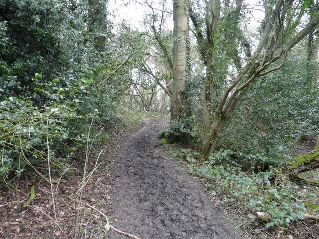
The path through the wood
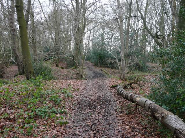
The path through the wood
The path going northwest from the wood to Broomstick Lane, Botley.
Broomstick Lane