Pete's Walks- Wigginton and Drayton Wood (page 2 of 2)
Across Shire Lane a path led through a small wood then went diagonally (half-left) across a corn field to reach the start of a line of trees marking part of the course of the ancient earthwork called Grim's Ditch. I just followed the path across the near end of the trees, then went half-right across another corn field, on a path I'd not walked before. This took me to a track called Browns Lane which I then followed left to reach a road junction in the hamlet of Hastoe.
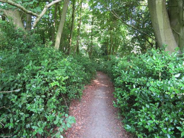
The path in the small wood the other side of Shire Lane
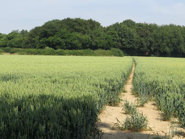
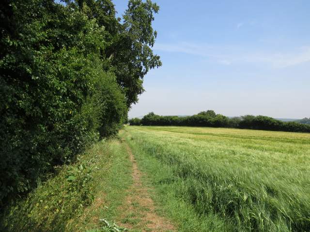
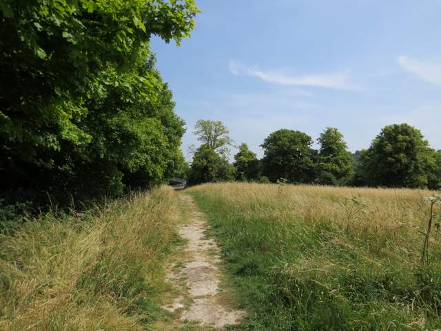
The path continuing to the line of trees along part of Grim's Ditch
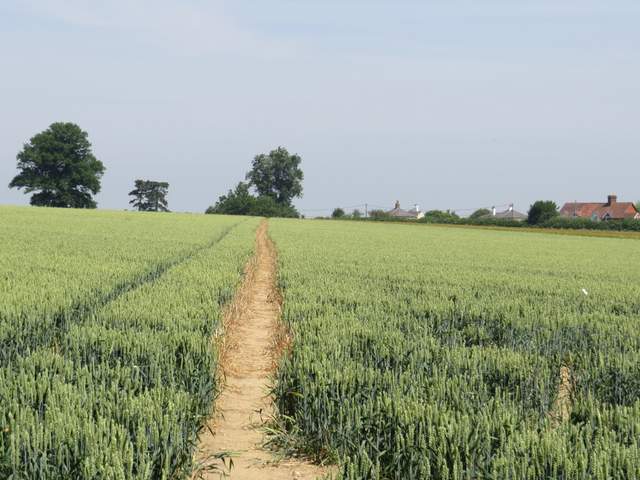
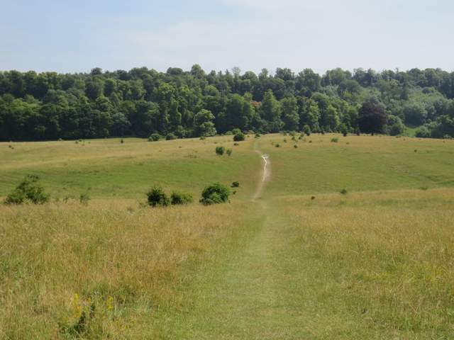
The path from near Grim's Ditch going north to Browns Lane, Hastoe
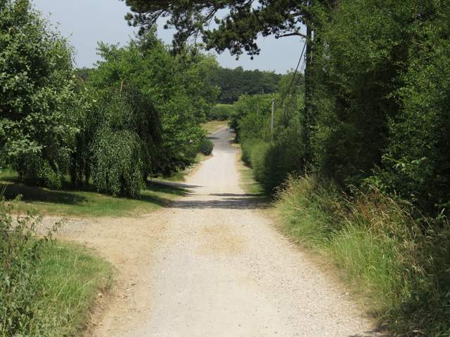
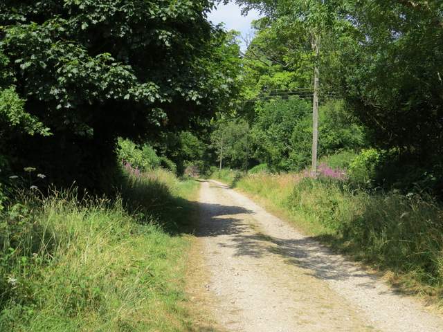
Browns Lane, Hastoe
I went a few yards left and took a private drive on the other side of the road. This ended at a cottage where public byways went either side. For the first time I took the one on the right, almost immediately turning right again onto a footpath. Within a few yards I came to a junction where I forked left to go deeper into Grove Wood. I kept right where this path merged with one coming in from the left. After some way the path ran along just inside the edge of the wood on my right. At a waymark on a post, I went a few yards right to exit the wood, then turned left alongside what was now Stubbing's Wood (I'd walked this path once before, last December see my Marsworth, Halton, Tring Station walk). I stopped for lunch at a bench by a corner of the wood (it was now about 12.40pm), admiring the view ahead towards Ivinghoe Beacon and feeling grateful to be able to be out on such a glorious day.
The private drive, Hastoe
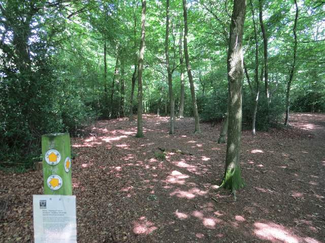
The path junction in Grove Wood, where I forked left
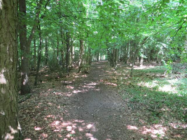
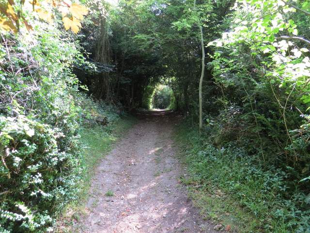
The footpath in Grove Wood, heading northeast
The footpath in Grove Wood, heading northeast
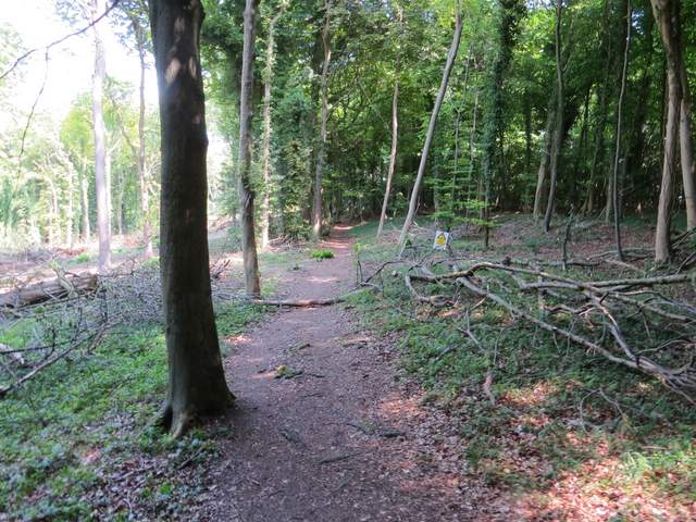
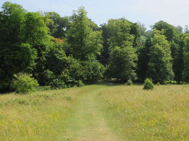
The footpath along the edge of Stubbing's Wood
Lunch over, I continued along the path, now running through a meadow towards the brow of a hill with Ivinghoe Beacon dead ahead. The path dropped steadily downhill through another meadow, with a tall hedge nearby on the right. There were lots of butterflies in the long grass and flowers of this meadow, including several Marbled Whites. Towards the bottom of the hill the path turned right, with the A41 dual carriageway down in a cutting on the left. The path led to a lane close to the edge of Tring (to my left) and on the opposite side a short permissive path led through a meadow into Tring Park.
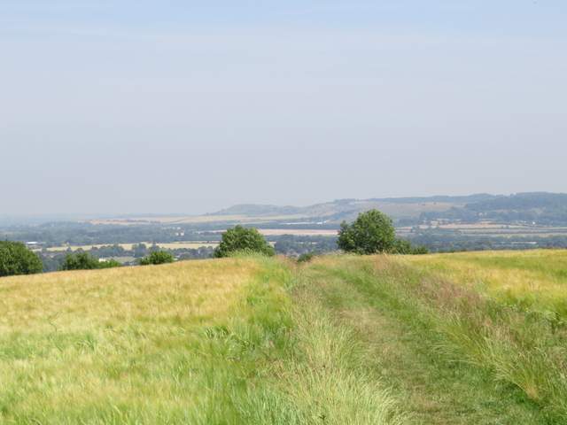
The path starting to descend towards Tring, Ivinghoe Beacon in the distance
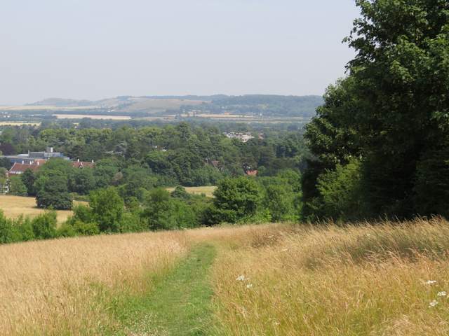
The path continuing to descend towards Tring
The path continuing towards Tring Park (the A41 dual carriageway is over the boundary on the left)
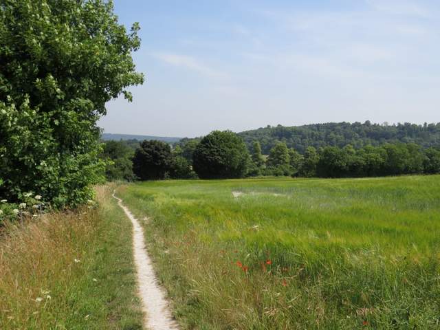
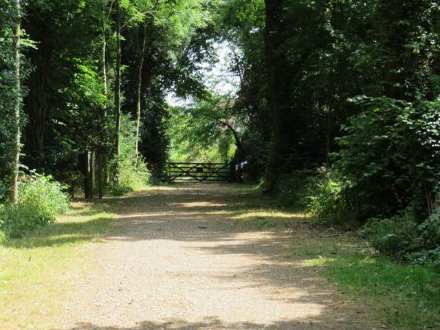
The permissive path approaching Tring Park
Straightaway I passed the end of a footbridge over the A41 on my left, and a few yards further on took a path going half right across the park (this was the furthest of two paths starting at almost the same point). This was a very pleasant section, with more butterflies and wildflowers in the long grass and a long wooded slope directly in front of me. On reaching the trees the path climbed half-left to reach an Obelisk. Four paths led off from here, I took the second one on the right (second one counting anti-clockwise) which led uphill to another path junction within sight of a gate leading from Tring Park into Wigginton. Beyond some cottages, I turned right and followed the road through the village to a sharp turn to the left. Here I crossed over and turned left along the edge of a playing field, turning right in the corner. I then followed a short street to its end, crossed another street and followed the path ahead back to the car park where I'd started.
The path through Tring Park
The path through Tring Park
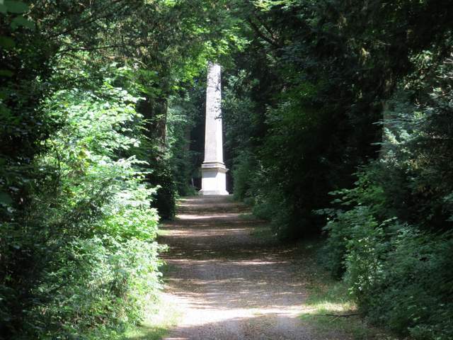
The path rising through the trees to the Obelisk
The path rising southwards from the Obelisk
Approaching the Wigginton exit from Tring Park
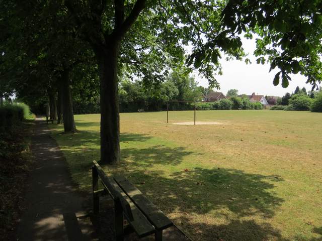
The first playing field in Wigginton - I turned right in the corner then went straight on all the way back to my parked car
This was such a hot day (the car showed 28-31C as I drove home, and it had been parked in the shade) that I was glad I wasn't doing a longer walk. I was also glad that I'd sensibly chosen a route that was about half in woods where I'd be cooler. But it had been a thoroughly enjoyable walk, with the woods varying quite a lot and being interspersed with field paths. Tring Park was very nice too, but the highlight was the path dropping down from Stubbings Wood with a fine view over Tring towards Ivinghoe Beacon.
Note: I've done this walk a couple of times since - it's a very enjoyable walk, although very flat with just one uphill section and one downhill section. Each time I've done it I've walked it in the clockwise direction - if I did it the other way round I'd miss out on the good views on the long descent from Stubbing's Wood to Tring Park, with no recompense on the downhill section from Wigginton to Tring Park as that is through trees.