Pete's Walks- Wigginton and Drayton Wood (page 1 of 2)
If you are considering walking this route yourself, please see my disclaimer. You may also like to see these notes about the maps and GPX files.
Google map of the walkDownload GPX file of the walk
I did this roughly 6 mile circular walk on Monday, 22nd July 2013. I'm still recovering from Post-Viral Fatigue after a bout of Glandular Fever so this was another short walk, but I managed to include a couple of new paths that I'd not walked before.
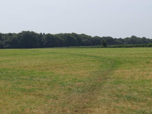
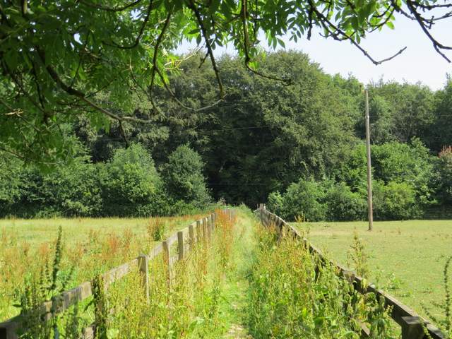
After a very lazy start to the day I parked in the car park by a playing field in Wigginton and started walking about 10.55am. I turned right out of the car park and headed south along the road out of the village, and a little past the last houses took a footpath on the right. This crossed a long narrow cattle pasture, beyond which the path split in two - I went half-left, crossing a large field of oil-seed rape. The path then cut through a corner of a meadow that had been mown for hay, then continued in the same southerly direction across another mown meadow to reach Roundhill Wood.
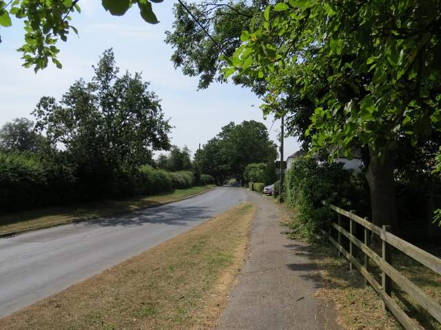
The road going south through Wigginton
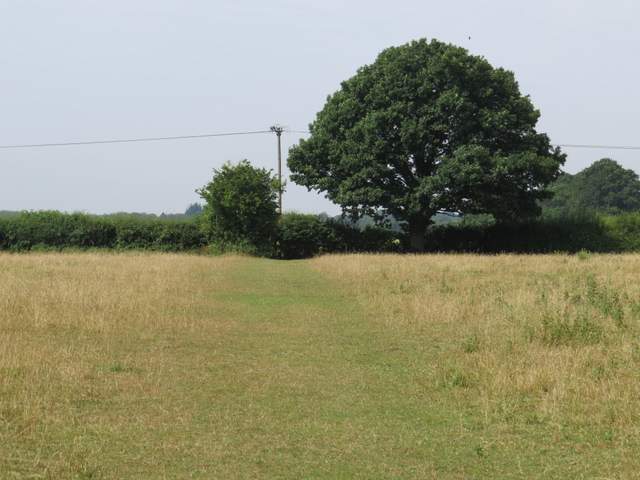
The path going west across a long thin cattle pasture
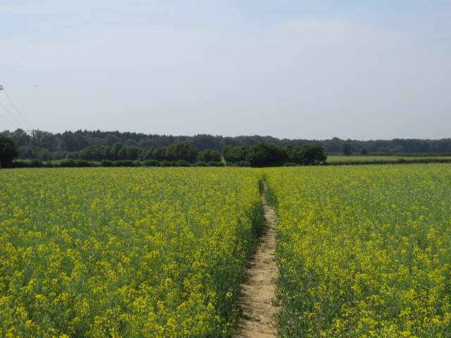
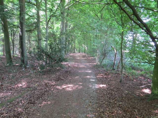
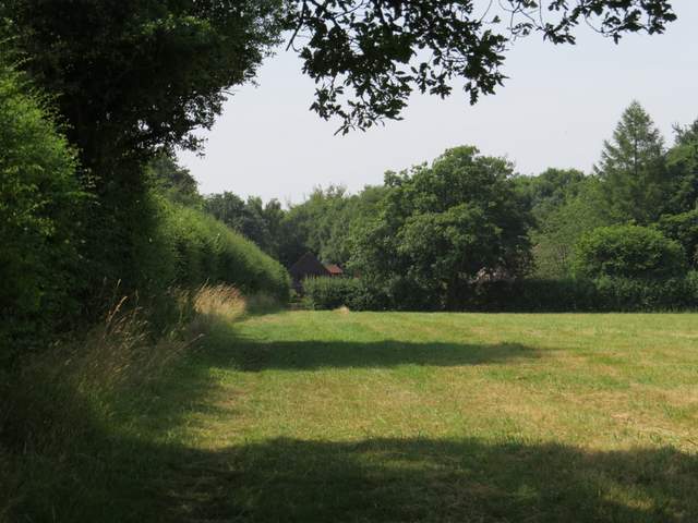
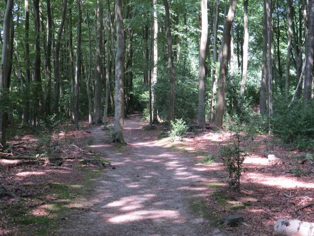
The path going south to Roundhill Wood
The path going south to Roundhill Wood
I turned right and followed a path just inside the edge of the wood. The map shows that there was Initially a parallel right of way just outside the wood, but beyond a kissing gate the paths merged and veered slightly left away from the edge of the wood. Across I lane, I entered another wood called High Scrubs - this was more open with several conifers amongst the deciduous trees. The path maintained its generally southwest direction as it crossed a byway near the edge of the wood, then followed a left-hand hedge through a meadow (which was clearly also used for show jumping as there were several fences in this and the neighbouring field and even in the hedge itself).
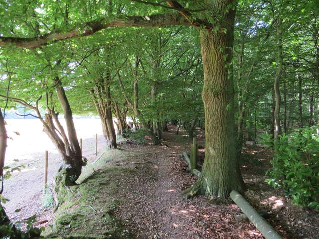
The path just inside the edge of Roundhill Wood, going southwest
The footpath continuing through Roundhill Wood
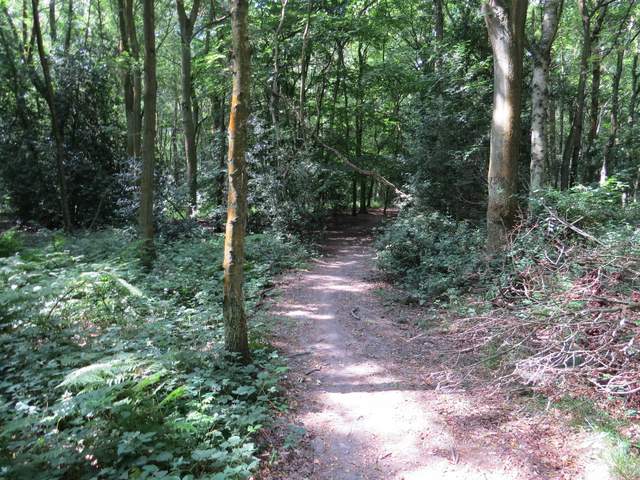
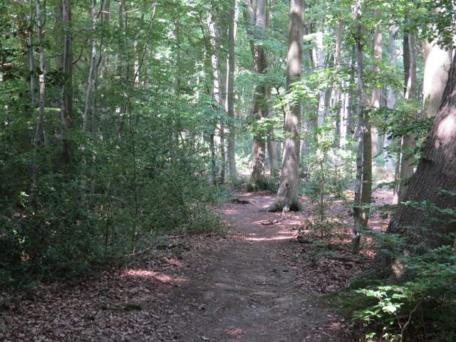
The footpath through High Scrubs
The footpath through High Scrubs
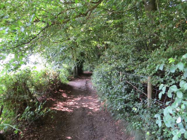
The path continuing to Shire Lane
I then went a few yards left along Shire Lane (the old boundary between Bucks and Herts) then took a path on the opposite side between some stables and a property name 'Montana'. I soon reached part of Drayton Wood, with paddocks on my left. At a path crossroads I chose not to make the short detour left to see Cholesbury Camp (see near the start of Walk 6 of my Chiltern Chain Walk for photos and details of this Iron Age Hill Fort) but went straight on. From previous sorry experience I know the paths hereabouts don't exactly match those shown on the OS map, but just following the path as it then turned right in a corner of the wood was straightforward. The path continued just inside an edge of the wood on my left for some distance, until it ended at a bridleway.
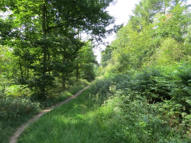
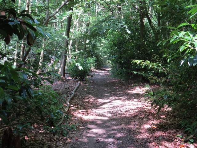
The path along the southern edge of Drayton Wood
The path along the south-eastern edge of Drayton Wood
The path along the south-eastern edge of Drayton Wood
The path along the south-eastern edge of Drayton Wood
I turned left along the bridleway for a short distance, before taking a path on the right (the OS map shows the path starting where the bridleway becomes Little Twye Road but it started before then). After several hundred yards a path, part of the Chiltern Way, came in from the left, before the combined paths turned right and left the wood, running between paddock fences a short way to return to Shire Lane.
The bridleway that becomes Little Twye Road
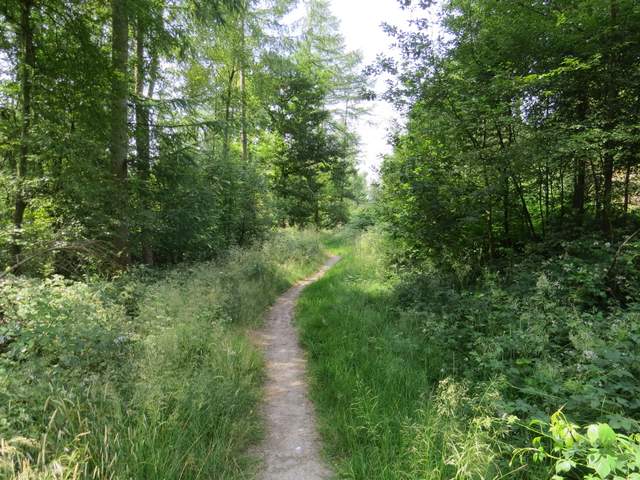
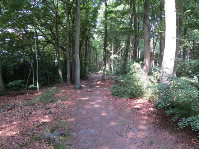
The footpath going northwest through Drayton Wood
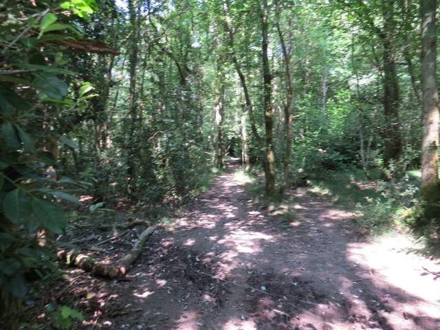
The footpath going northwest through Drayton Wood
The path continuing from Drayton Wood to Shire Lane