Pete's Walks- West Wycombe and Saunderton (page 1 of 3)
If you are considering walking this route yourself, please see my disclaimer. You may also like to see these notes about the maps and GPX files.
Google map of the walkDownload GPX file of the walk
PLEASE NOTE: The very large car park in West Wycombe used to be free. When I came here on 15th January 2022 I found it is now a pay and display car park, only free if you stay less than one hour and costing £4 if you stay more than 2 hours. I think you have to pay by credit card, I don't think the machine takes cash.
I did this roughly 8 mile circular walk on Sunday, 1st June 2014. This was a new route for me, though only a couple of miles mile was on paths I'd not used before on other walks. Also there was section, about a mile long, that I'd only walked once before in the opposite direction.
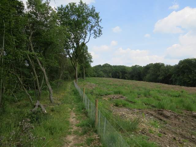
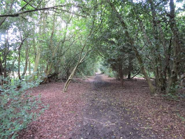
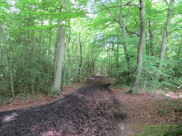
I started from the village car park in West Wycombe (grid reference SU826947) about 10:15am. I crossed the road from the car park and took the clear path through the grass, leading round the bottom of West Wycombe Hill. I turned right where a wooden fingerpost marked a path junction - the path I took was signposted 'Hellfire Caves', the path going straight on was signed 'Hilltop' and would be the way I would be coming back. The path led to Church Lane, where I turned left, soon passing the entrance to the caves on my left. Just after the lane turned sharply left, two footpaths started from the same point on the right. I took the left-most of these, which ran through a broad strip of grass for about a hundred yards, before descending gently downhill through a field of green corn. The path led down to a road, where I turned left - there used to be a path continuing on the other side, but this has been closed because of a dangerous railway crossing. After about a quarter of a mile the road went under a brick railway arch, and immediately afterwards I turned right on a footpath that ran between fences, parallel to the railway line and soon with a wood on my left - I soon saw a Speckled Wood butterfly here. After about a quarter of a mile I turned left through a metal gate in the fence, rejoining the original path that used to continue here from the road (at this point there was a view on my right looking back the way I'd come from West Wycombe, and there was a bench just a few yards ahead).
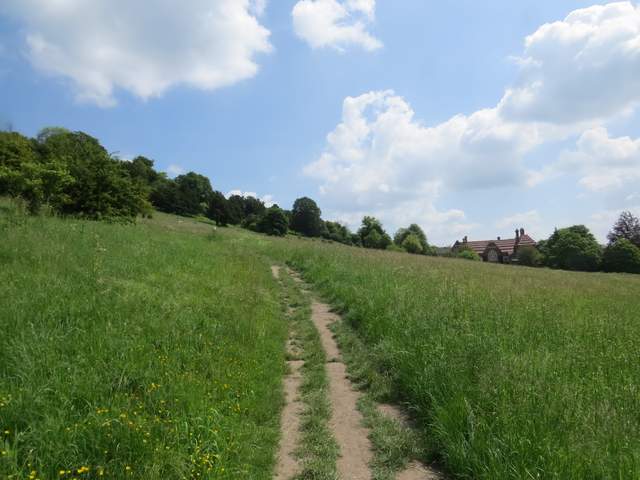
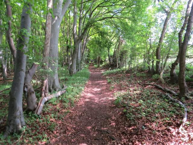
Near the start of the path around the bottom of West Wycombe hill
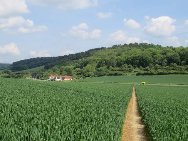
The path descending to the road. The diverted path goes left along the road and under the brick railway bridge, then comes back along the far side of the hedge. Previously the path went straight on across the field on the other side of the road to a railway crossing.
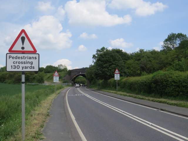
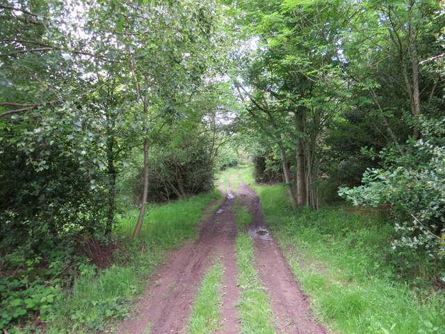
Approaching the railway bridge
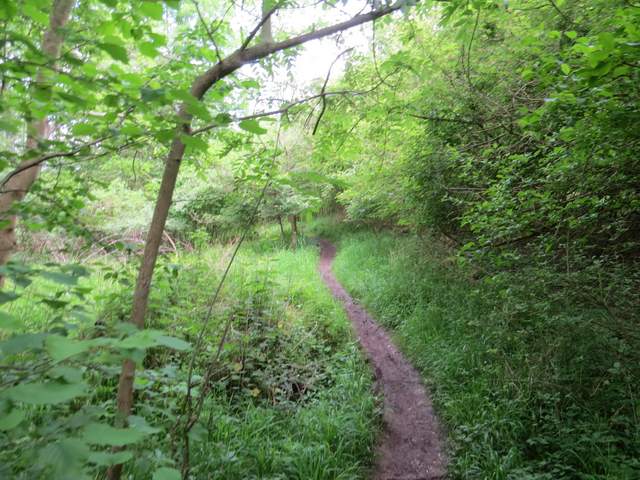
The path that starts on the other side of the road
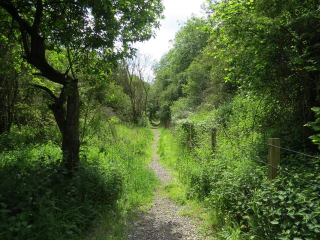
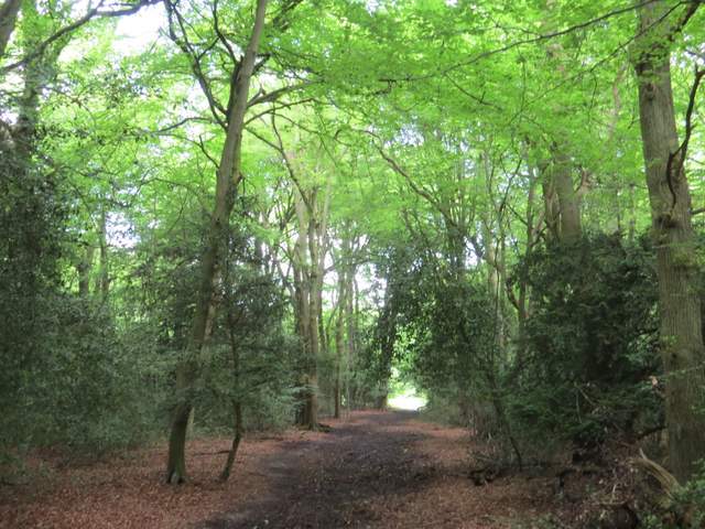
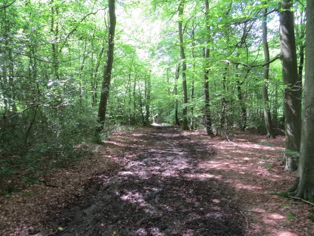
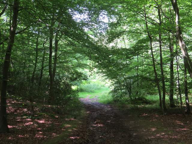
The path led uphill through Kit's Wood, not too steep and levelling out soon enough - I spotted quite a lot of Sanicle in this first part of the walk. The path then continued through the wood, joining a track at some point but continuing in the same direction. After half a mile or so I reached a path crossroads, where I turned right. After a few yards the path forked right from a track, and followed a fence - the area on the other side of the fence is shown as wood on the OS map (and that's how I remember it) but it had obviously been cleared in recent years. I saw my first Hedge Woundwort of the year along here. Further on there was a hedge on my left, and across fields and paddocks I could see Bradenham Hill Farm.
The path heading up through Kit's Wood
The footpath through Kit's Wood
The footpath through Kit's Wood
The footpath through Kit's Wood
The footpath after I turned right in Kit's Wood
The same path further on, near Bradenham Hill Farm
I went straight on across one bridleway (marked as usual by blue waymarks), and soon came to a second one. After a few yards this went right, into the trees, but I continued ahead along a wide grass break between the woods of Naphill Common, following a line of telephone poles (this was new territory for me, and would be for a couple of miles until I reached Smalldean Farm). After about a quarter of a mile, I turned left onto a crossing footpath. This immediately turned right, almost parallel to the grass strip and telephone poles. After three or four hundred yards through the woods I came to a path crossroads, with the corner of some garden fences of properties in Walter's Ash ahead and to my right. I turned left, soon turning further left and followed footpath waymarks and white arrows on trees as the path continued through Naphill Common, soon dropping downhill through an area named The Coppice on the OS map, to reach a road (from Bradenham, to my left, to Walter's Ash).
The same path after crossing the first bridleway
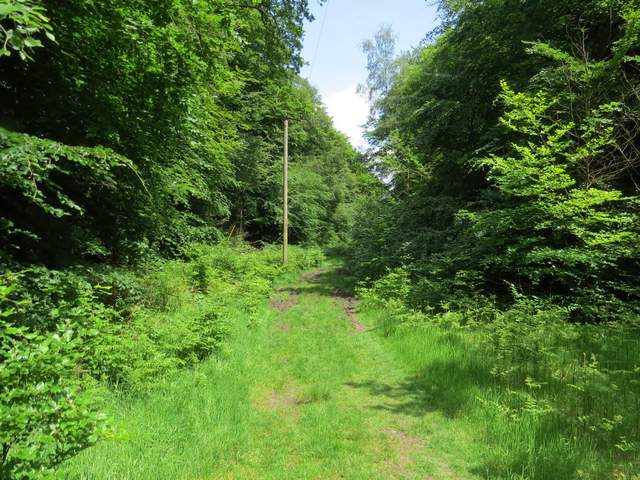
The path (not a public footpath, shown as black dashes on the OS map) on Naphill Common, along the line of telephone poles
The public footpath heading to a fence corner on the edge of Walter's Ash
The path that goes left from the path crossroads by the fence corner on the edge of Walter's Ash
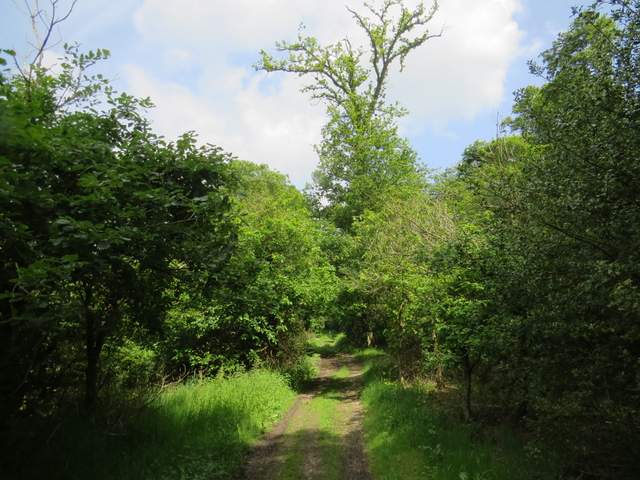
The same path now in The Coppice, approaching the road from Bradenham to Walter's Ash