Pete's Walks- West Wycombe and Saunderton (page 2 of 3)
The public footpath ended at the road, but the OS map shows a dotted black line continuing on the other side through this area of Open Access. The path was very clear, and was waymarked as a Rider's Route by the National Trust (though permits are needed to ride here, according to signs). The path went through more woodland, quiet close to buildings over to the right, and then ran close to a tall fence on the right. I turned right where the fence turned right, but within a few yards I forked left, still following the signs for the Rider's Route. The path continued through more woods (I was now in Bradenham Beeches) and after a while it dropped downhill to meet a track in a valley. I must admit I now became 'temporarily misplaced' for a few minutes - I couldn't work out exactly where I was, the paths and map didn't seem to agree. But I eventually realised I simply needed to turn right, and follow the track north through more of Bradenham Beeches (having looked at the map again, I realise my confusion was caused by the fact that part of the woods had been cleared since the map was made and is now a meadow, plus the Rider's Route joined the track much closer to a sharp turn in the footpath than the black dotted line on the map does).
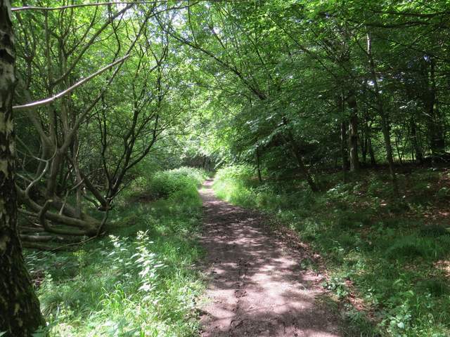
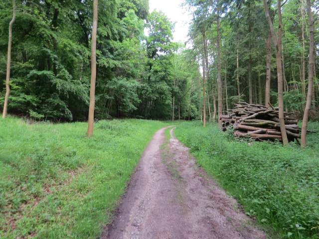
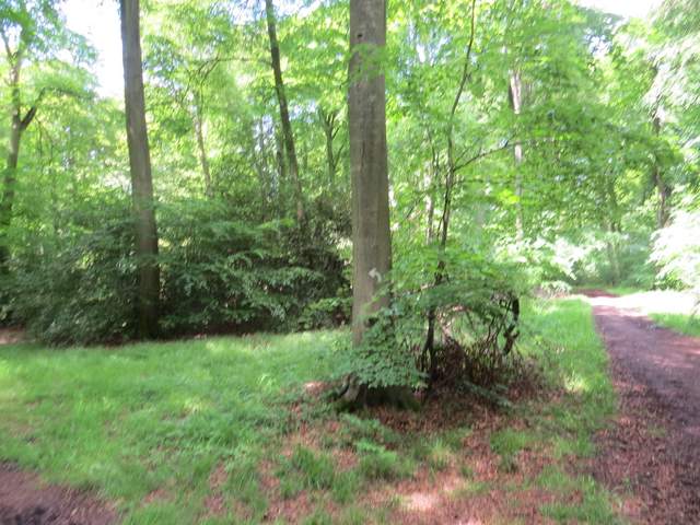
The path (again not a public footpath) on the other side of the road
The same path continuing westwards
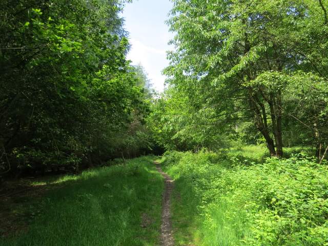
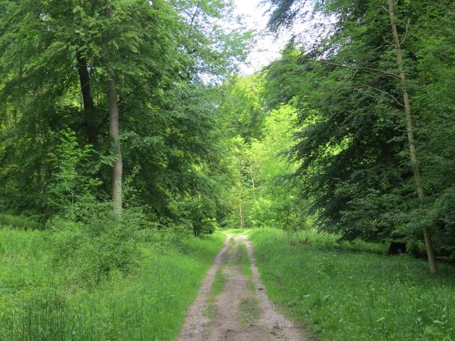
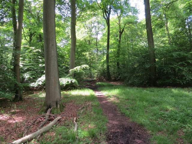
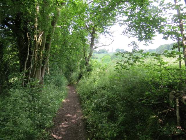
Somewhere in Bradenham Beeches
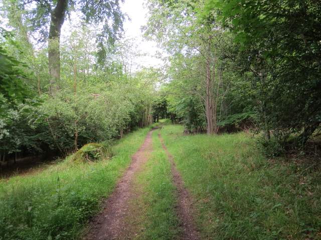
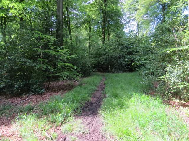
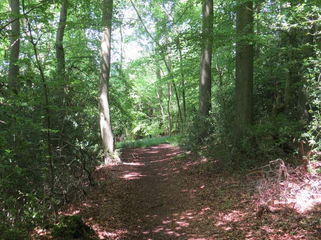
The same path (marked by the National Trust as a Horse Ride) descending to the valley bottom where I became 'temporarily misplaced'
The track headed north into the woods - I kept left at a fork, and the track then soon turned to the north-west. A white arrow on a tree indicated where a path went left from the track (NOTE: another path, not a public footpath, goes left just before this. The path I took is marked by a white arrow on a tree and starts just AFTER a broad path or track comes in from the right). The next section through the woods was a little confusing, and I needed to keep an eye out for white arrows or waymarks - the footpath soon forked left from the initial path, joined a track for a short distance, then turned off it on the left. It was fairly straightforward after that.
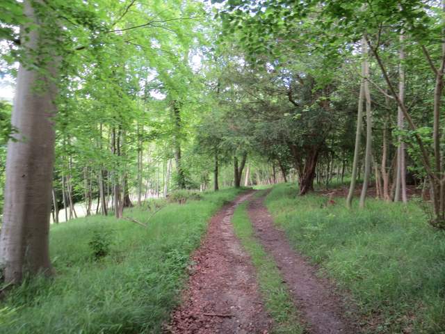
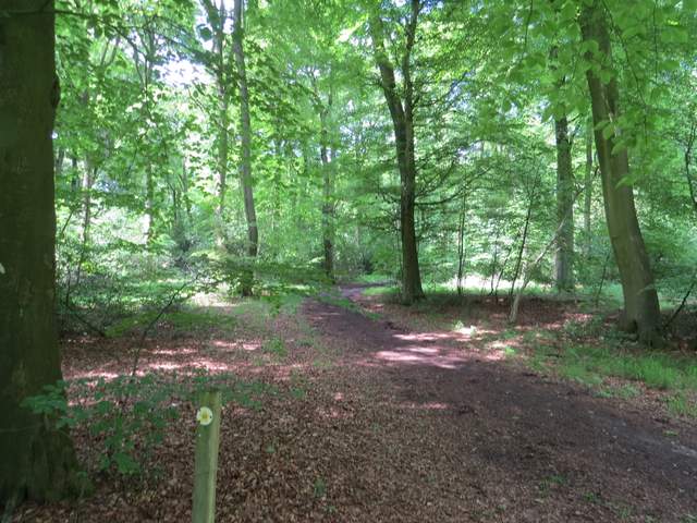
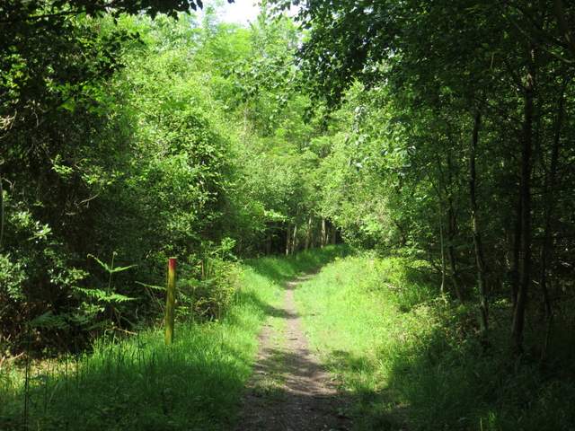
This is the public footpath, after I eventually turned right. It runs northwest between Park Wood and Bradenham Beeches
Further along the same footpath
The path through Park Wood
The path through Park Wood
The path through Park Wood, where it turns left off a track
The path through Park Wood
The path through Park Wood
The path through Park Wood
Eventually, after about three-quarters of a mile from the path fork shown on the OS map, the path reached Smalldean Lane, where I turned left. I soon passed Smalldean Farm on my left, where I was back on familiar territory from previous walks. But after another hundred yards, as I passed a point where a path went off on the right, I reached a section of the lane I'd only walked once before, in the opposite direction. The quiet lane (I was only passed by one car) continued between hedges for over half a mile to reach a main road running through Saunderton (the A4010, the same road I'd walked along earlier).
Approaching Smalldean Lane
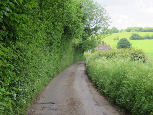
Smalldean Lane, approaching Smalldean Farm
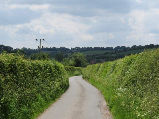
Smalldean Lane, heading to Saunderton