Pete's Walks- West Wycombe and Saunderton (page 3 of 3)
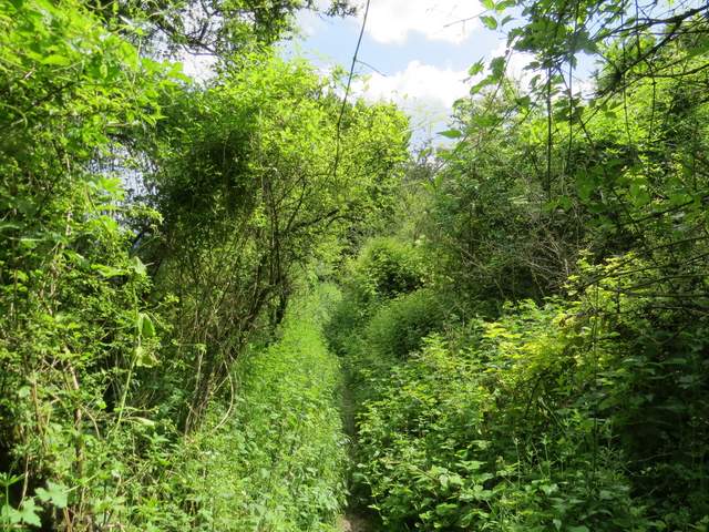
I crossed the road and continued down Slough Lane opposite, soon leaving the village of Saunderton. When the road turned sharply left, I took a path on the right going diagonally across a corn field, heading to the top of Slough Hill. Beyond the field corner, I turned left onto a footpath (I was now back on familiar territory). The path ran through the edge of an area of bushes and small trees, before running along the edge of the corn field and descending Slough Hill back to Slough Lane.
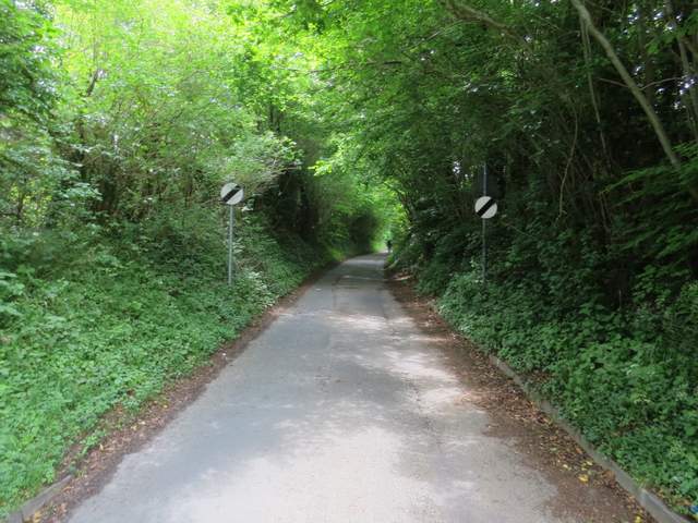
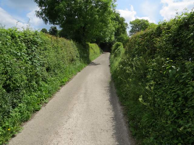
Slough Lane, leaving Saunderton
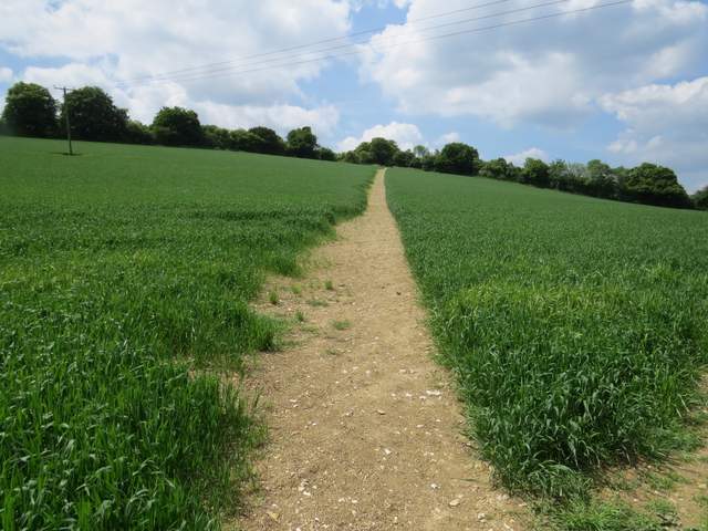
The path across the field to the top of Slough Hill
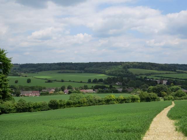
View back from the top of Slough Hill
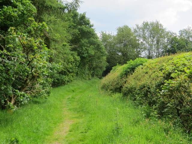
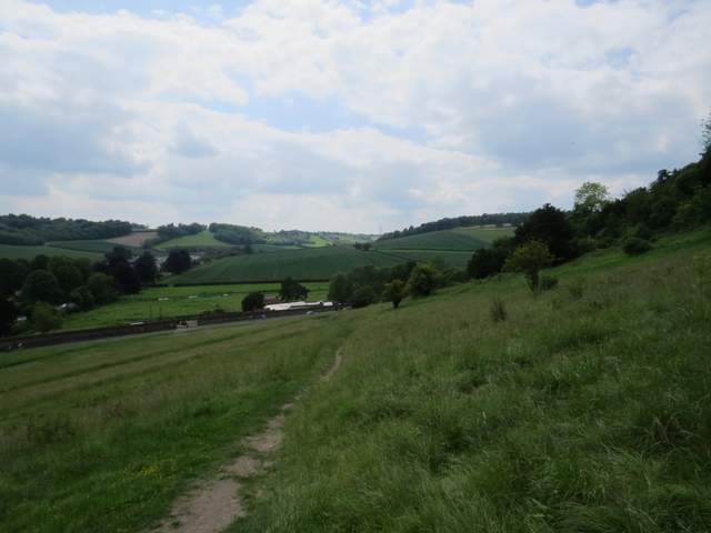
The path along the top of Slough Hill
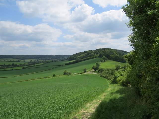
The same path descending from Slough Hill, back to Slough Lane. The drive to Nobles Farm and Allnutt's Wood are visible ahead.
Across the lane a public footpath continued along the surfaced drive to Nobles Farm. It started off uphill, levelling out as it reached Allnutt's Wood. Beyond the wood it continued on beside meadows on the right to reach Nobles Farm. The footpath then continued straight on through Hearnton Wood for just over a mile to reach West Wycombe Hill, where I saw at least 20 Red Kites in the skies overhead.
Near the start of the drive to Nobles Farm
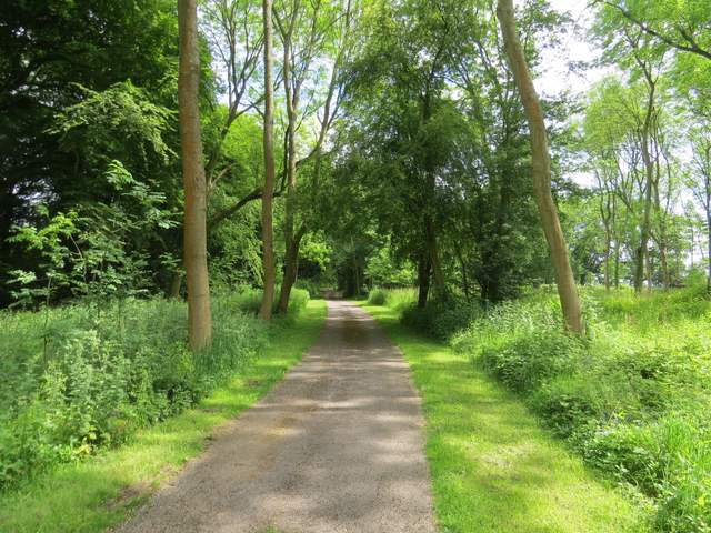
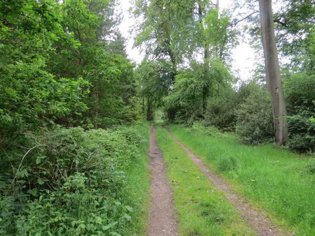
The drive to Nobles Farm
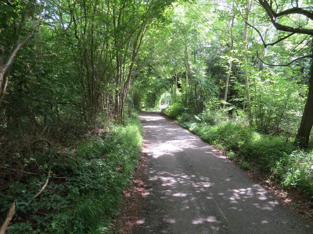
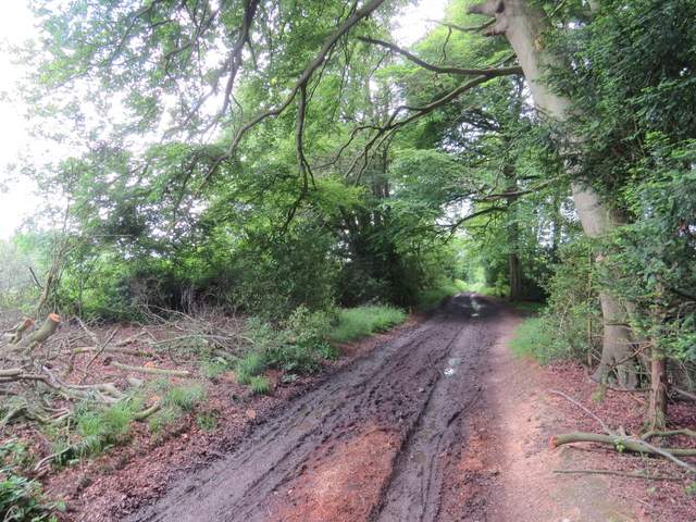
The drive to Nobles Farm, in Allnutt's Wood

The drive to Nobles Farm
The footpath continuing southeast from Nobles Farm
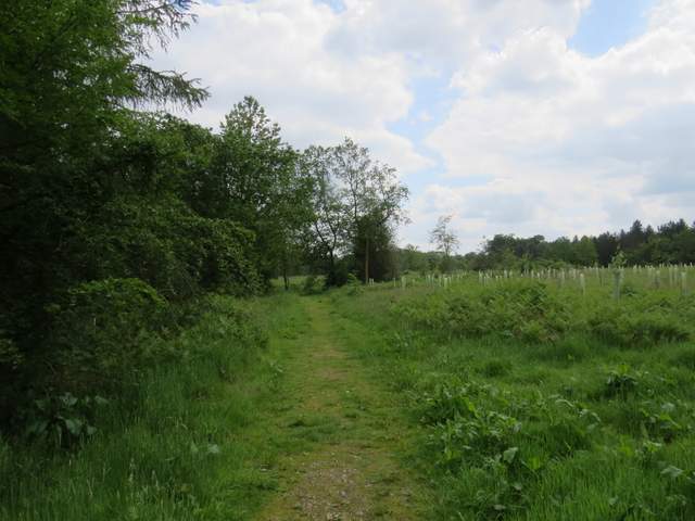
The footpath continuing southeast from Nobles Farm
The footpath continuing southeast from Nobles Farm
The footpath continuing southeast from Nobles Farm, now in Hearnton Wood
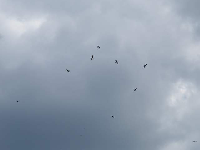
Red Kites over West Wycombe hill
I walked through the car park, and took a path going right of the churchyard of the Italianate church of St Lawrence, following it round to the impressive Dashwood Mausoleum. I took a path going down the slope, with the A40 heading to High Wycombe straight ahead of me. A short way down the slope I turned right, soon passing some Yew trees and continuing down the path to return to the car park where I'd started.
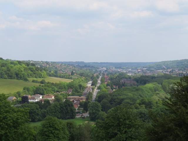
Looking along the A40 towards High Wycombe from West Wycombe hill
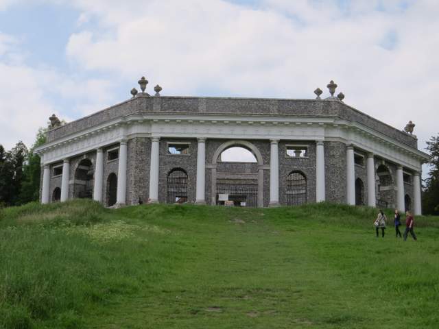
The Dashwood Mausoleum on West Wycombe Hill
The path down from West Wycombe hill, heading back to the car park
This was a pleasant enough walk, though I hesitate to recommend it because I found navigating through Bradenham Beeches and Park Wood a little tricky. The Google map I've created is definitely inaccurate in this section, and I'm not sure the paths on the ground here match those shown on the OS map [Update 10/12/16: Having walked that section again in November 2016, I think my route description is correct and as long as an eye is kept out for waymarks and white arrows there shouldn't be any problem following the path]. Having said that, I did enjoy this section as it was new to me. I'm glad I checked out the diversion near the start of the walk too (I've now added a comment about it on a couple of walks that use the old path). The section back to West Wycombe from Slough Hill is one I've walked many times before, but it seemed to go quicker than usual (probably because I normally do it at the end of a longer walk when I'm very tired!).
This was my first walk for a couple of months, due to illness and then a family bereavement. It felt very good to get out again, though my legs have clearly lost a lot of strength over the last 15-16 months since I had that nasty virus (I had a similar one in April). Hopefully I'm getting over it now, and will be able to gradually build up the length of walks I do.