Pete's Walks- Sonning Common and Mapledurham (page 1 of 4)
If you are considering walking this route yourself, please see my disclaimer. You may also like to see these notes about the maps and GPX files.
I did this circular walk of about 11.9 miles on Saturday, 31st October 2015. It was a new route for me, with about the first 60% of the route being on paths I'd never walked before, with almost all the remainder (from Mapledurham back to Sonning Common) following part of the Chiltern Way which I'd not walked since 2007.
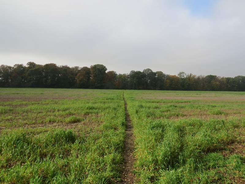
I parked in the small car park (just two places) at the Kennylands Millennium Green on the southern edge of the village of Sonning Common (Grid Reference SU 714795) and started walking about 11:30am. I had deliberately started late as it had been a foggy morning. I went the few paces from the car park to a corner of the green, where there was a plaque and a notice board, and turned right to follow a path along this edge of the green. I stayed with the path as it turned left in the next corner of the green, until I reached a gate in the hedge on my right. A few yards to my right a path started on the other side of a road, initially between garden fences and then following a hedge on my left with paddocks to my right - I saw my first Red Kites of the walk here. The path then crossed a field to reach Bur Wood. On the other side of this narrow wood, the path followed a fence line on my left, with fields of winter wheat either side.
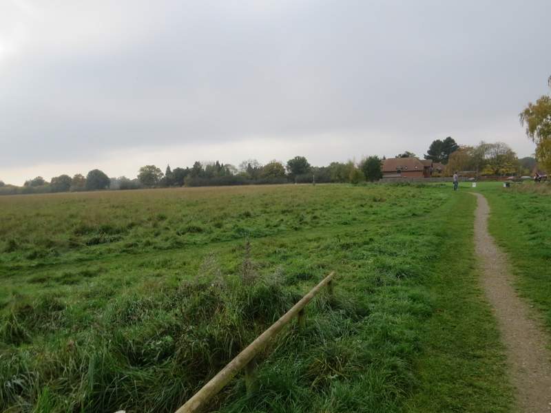
The Kennylands Millennium Green, Sonning Common
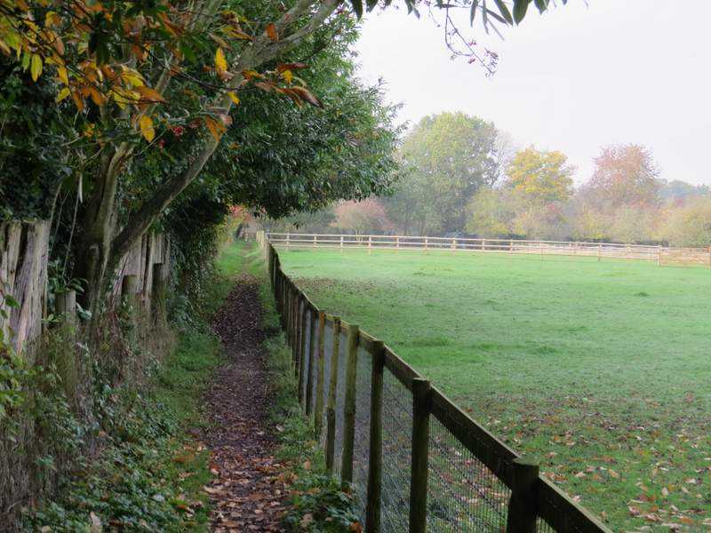
The path to Bur Wood
The path to Bur Wood
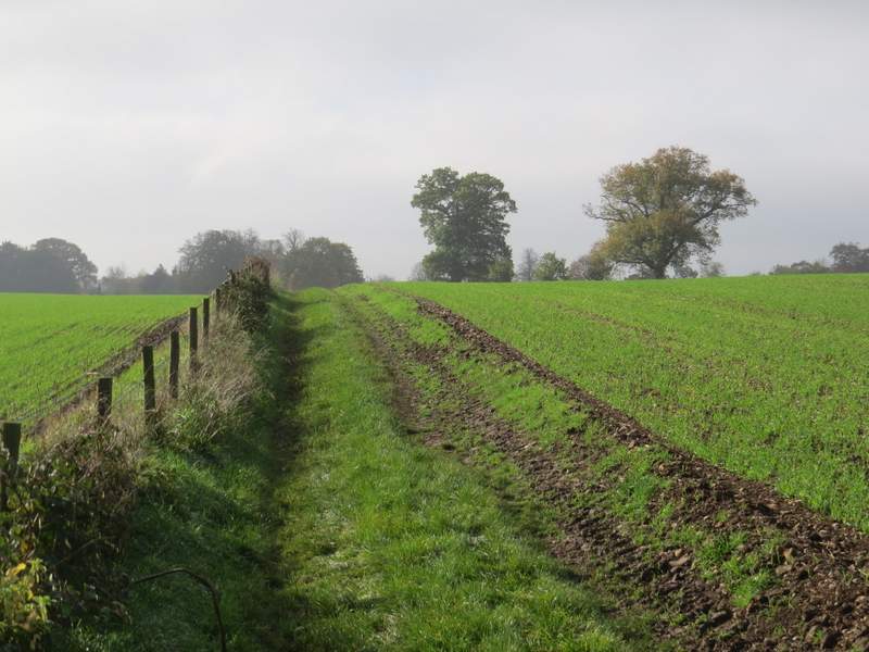
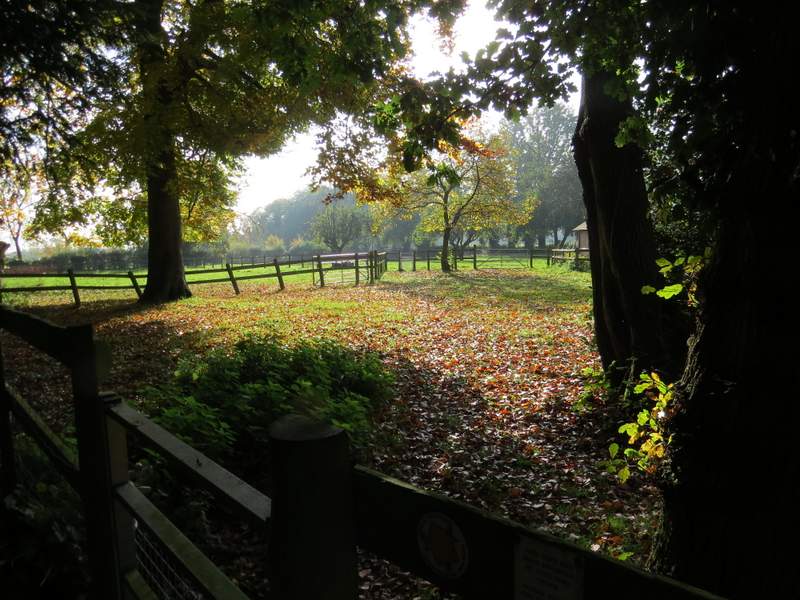
The path continuing from Bur Wood
At the end of the path I turned right onto a byway. This was pretty much like a lane to begin with, until I passed the attractive Vines Farm when it became a track. There were hedges either side, often bright with Autumn colours. The fog and grey skies had all gone now and it was now a fine sunny day. After about half a mile the byway ended at a lane junction, where I continued straight on along Hazelmoor Lane - it was so warm I soon stopped and packed my coat away in my rucksack (the unseasonably warm weather would continue the following day, when a new record temperature for November was recorded somewhere in Wales). I had to walk the whole length of the lane, about three-quarters of a mile, but it was very quiet and I didn't get passed by a car until I was nearly at the end, in the village of Gallowstree Common.
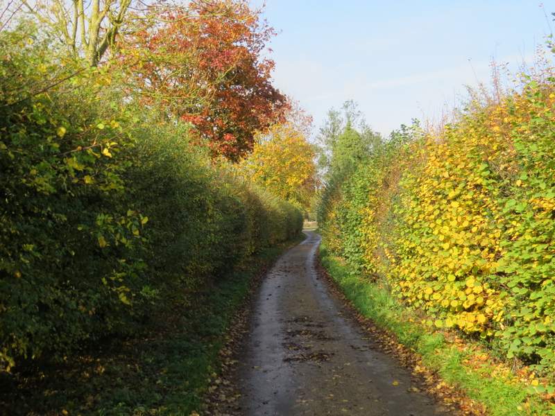
The byway, approaching Vines Farm
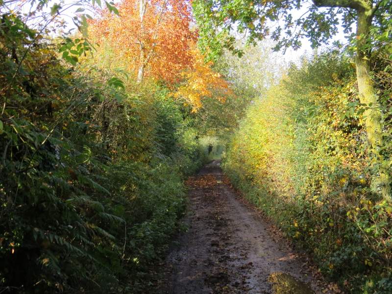
The byway continuing from Vines Farm
Hazelmoor Lane
Hazelmoor Lane
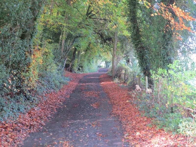
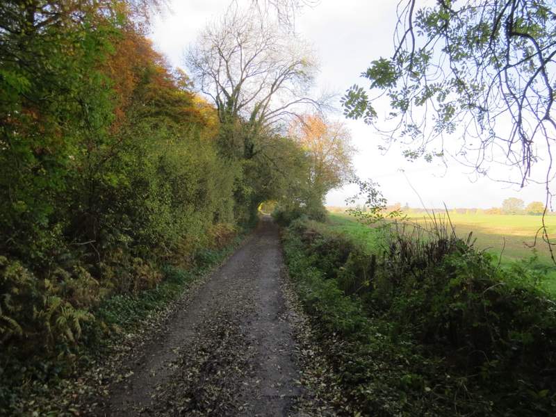
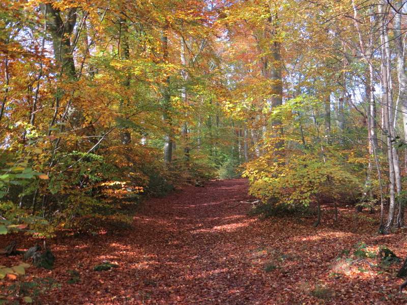
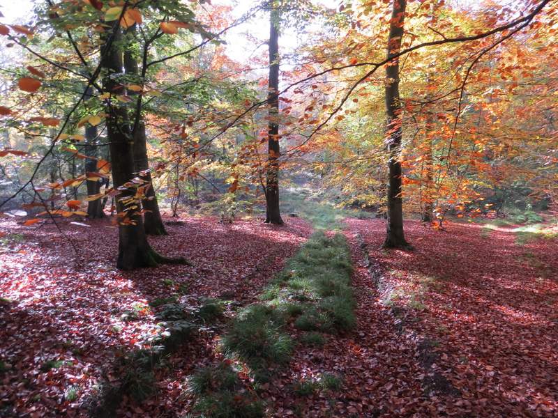
Gallowstree Common is named, as you might have guessed, from an oak tree that was once used as a gallows, the last hanging having been in 1825 (for sheep-stealing). I crossed the road here and continued down the residential street opposite. Almost straight away I passed the old village wellhouse on my right, a listed building with low red brick and flint-panelled walls. Where the street turned left, I went a few yards right into a corner of a wood. Beyond a wooden barrier, three paths or bridleways started, and I took the leftmost path, which ran just inside the left edge of New Copse soon with fields just a few feet to my left. Soon I was in an area of beech trees, looking splendid in their gold and yellow foliage. After almost half a mile, the path went left through a gap in a wooden fence, to head west through what I think was now Wyfold Wood, still with fields fairly close by on my left.
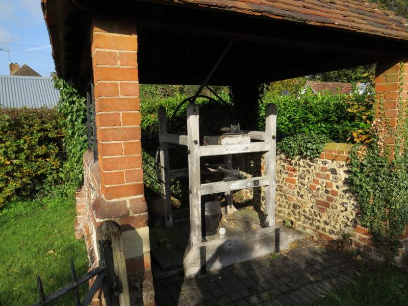
Old wellhouse, Gallowstree Common
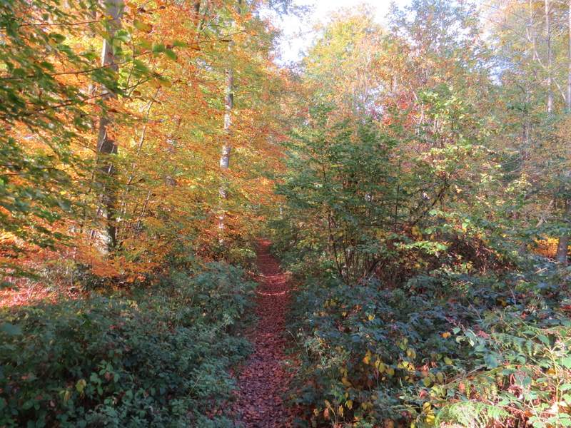
The path going north through New Copse
The path going north through New Copse
The path after turning left to head west through Wyfold Wood

The path continuing west through Wyfold Wood
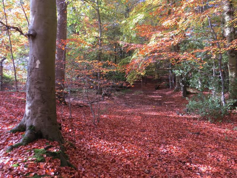
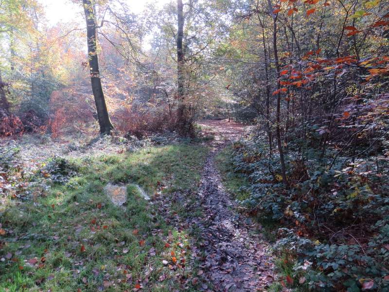
At the end of the path I crossed a lane and continued down a path starting on the other side that ran through Withy Copse. There was an initially rather damp section through long grass forming a track between the beech leaves (bramble shoots were hidden amongst the grass, that almost tripped me a couple of times). This track soon turned slightly right and ended at a clear path where I went left, following this path for just a few yards, before a white arrow indicated where the right of way forked left. The path through the wood was a bit damp underfoot in places, but easy to follow (at an apparent fork another white arrow on a tree indicated the right fork). On eventually reaching the far side of the wood (shortly after passing an area of conifers on my right), a sign indicated that the path had been officially diverted. It went half-left across a couple of small paddocks or enclosures to reach Park Lane.
The path through Withy Copse
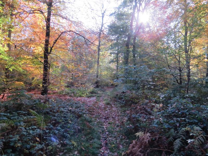
The path through Withy Copse
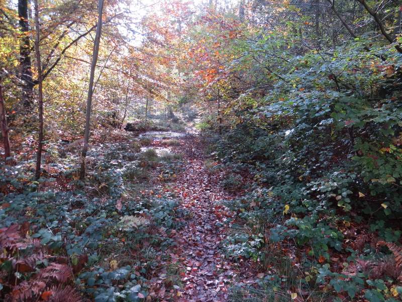
The path through Withy Copse
The path through Withy Copse
The path continuing from Withy Copse