Pete's Walks- Sonning Common and Mapledurham (page 2 of 4)
If you are considering walking this route yourself, please see my disclaimer. You may also like to see these notes about the maps and GPX files.
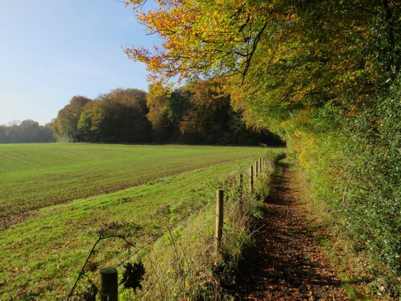
I turned left and followed the lane for maybe a hundred yards or so, before taking a footpath on the right. This followed the left edge of an empty pasture, then went over a stile about 20-30 yards before the next field corner, and continued along a driveway to a main road (the A4074) at Cane End. I carefully followed the road left, passing a Thai restaurant on my left, then took a bridleway on the other side. The OS map shows this going round two sides of some trees, but in fact it went diagonally through the middle of them. It continued across part of a paddock, then followed a tall hedge on my right, the field on my left obviously having been left fallow this year. The bridleway then followed the edge of a wood called Walk Shaw on my right, before curving right to pass through this wood and then continue beside another side of it to reach Nuney Wood. As the bridleway passed through Nuney Wood, it gradually drew closer to a field over to my right. When it almost reached the right edge of the wood, the bridleway turned left and soon reached the other side of the wood and the hamlet of Nuney Green.
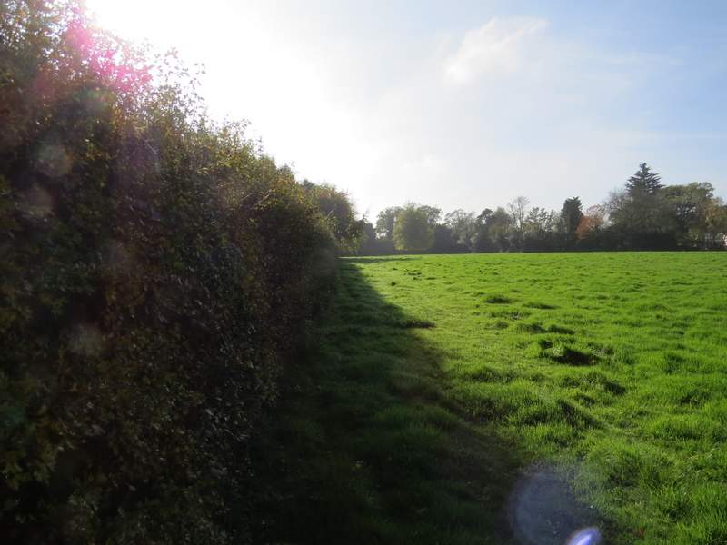
The path from Park Lane to the road at Cane End
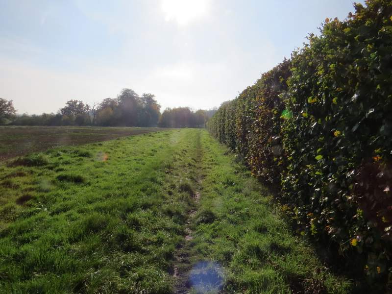
The bridleway from Cane End
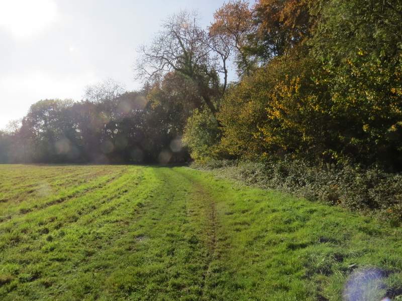
The bridleway approaching Walk Shaw (sorry, that's three rather dodgy photos in a row, where I was looking into the sun).
Walk Shaw
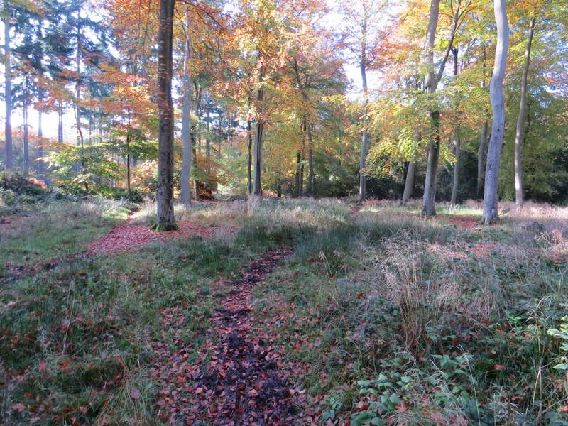
The bridleway approaching Nuney Wood
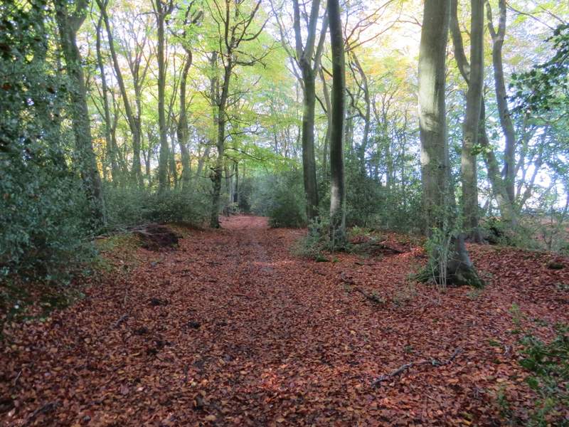
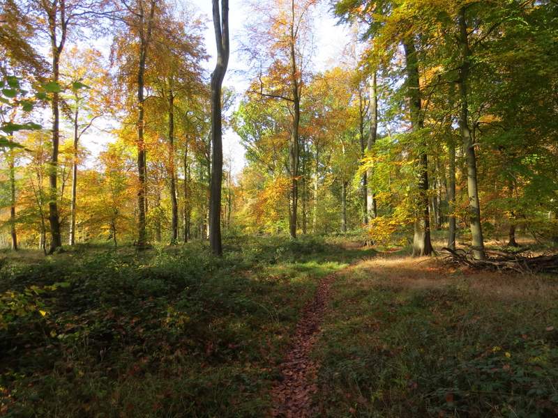
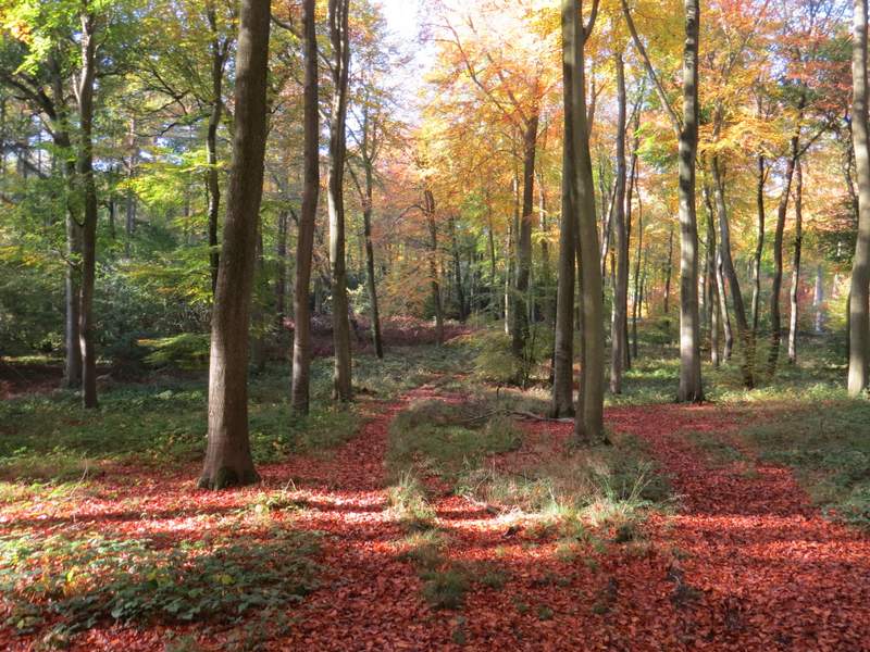
Nuney Wood
Nuney Wood
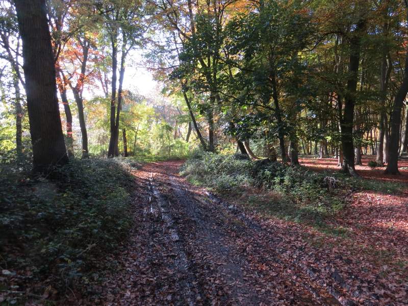
I could have turned left here and followed part of Walk 20 of my Chiltern Chain Walk to get to Mapledurham (see here), but instead I continued to explore new territory by going straight on down a lane. Where this turned slightly left, I took a bridleway going right, immediately forking left from a forestry track. I was now in Nuney Copse, and this was the most attractive bit of woodland I went through on the walk, the colour of the leaves being quite spectacular in places. Unfortunately, I managed to go wrong somewhere here, and eventually took a different route to the one I'd intended. I meant to follow the bridleway to its end, but I must have missed a left turning somewhere. I went straight on at a path crossroads (I did look for arrows or waymarks but didn't see any at all) and then a bit further on came to another path crossroads - this had green markings that seemed to suggest a crossing of permissive bridleways. After some dithering, I decided to go straight on - with hindsight, this was probably where I should have gone left, but again there were no waymarks or arrows to indicate this. After several hundred yards through more woods, following a reasonably clear track, I was getting ever more concerned that I'd gone wrong. then I saw a waymark on a post some way ahead of me - unfortunately when I reached it it was a yellow footpath waymark rather than a blue bridleway waymark. The map didn't show any footpaths in these parts of the woods, so (somewhat optimistically) I hoped it was a mistake and just continued in the direction it pointed, left. But after several hundred yards I reached a crossing path where I saw a white arrow on a tree along the path going right. I guessed this would be the footpath the OS map shows going through Holme Copse, so I turned left. I was relieved when the path reached the edge of the woods that my guess had been correct. (NOTE: because of the waymark sign I saw in the wood, I don't think I committed a tresspass in this wood, although the path I followed isn't shown on the OS map and the wood is NOT an open access area. The route I meant to take followed the bridleway on through Gutteridge Wood to its end, then took either of the footpaths starting the other side of a road which would have brought me to Collins End).
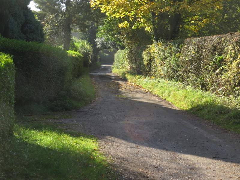
The lane through Nuney
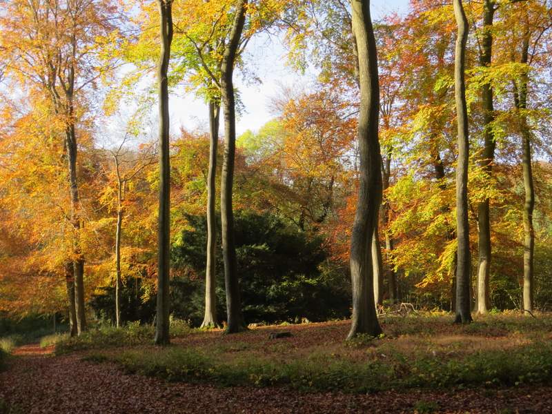
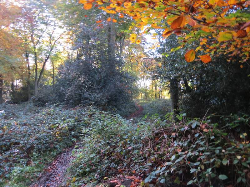
The start of the bridleway through Nuney Copse
The bridleway through Nuney Copse
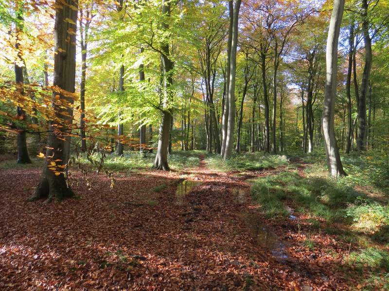
Gorgeous Autumn colours in Nuney Copse, I like the contrast with the dark green of the Yew. This may have been where I went wrong, I went straight on instead of turning left down the path on the left of the photo.
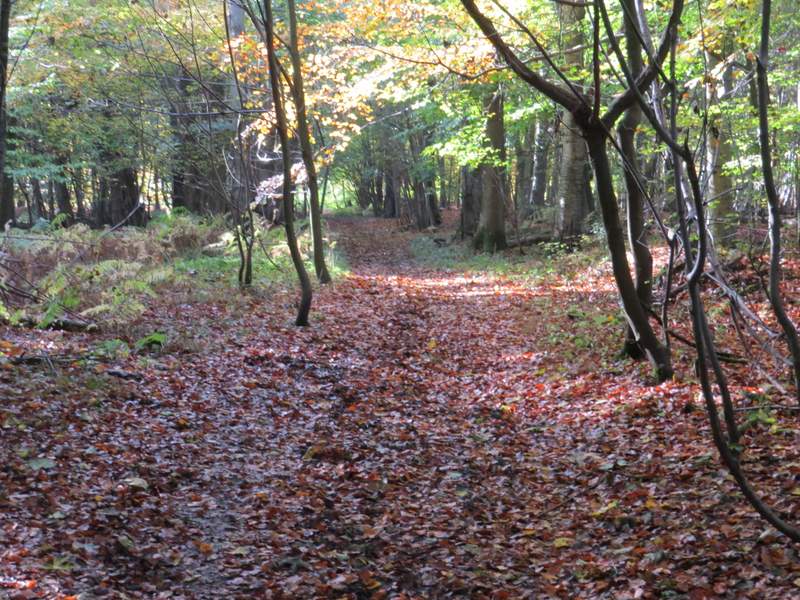
The path continuing on through the woods
The path continuing on through the woods (this was after I turned left at the yellow waymark)
The path to Haw Farm, about to leave Holme Copse