Pete's Walks- Chenies and the Chess Valley (page 2 of 4)
If you are considering walking this route yourself, please see my disclaimer. You may also like to see these notes about the maps and GPX files.
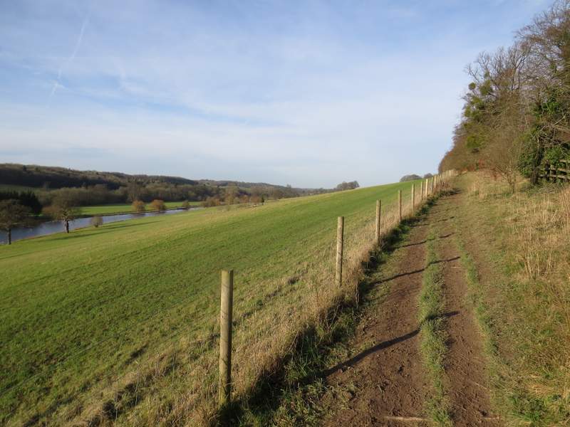
The path ran parallel to the river for a while, then curved to the left and approached a kissing-gate by a road on the edge of the village of Latimer. When I reached the gate, instead of going through it I turned very sharply left and followed a path gently uphill (NOTE: I could have shortened the walk by about 2 miles by simply going through the gate and continuing along the path starting on the other side of the road). At the top of the slope I went through two gates either side of a drive or track, then continued along the path. There was now a wire fence on my left and a hedge on the right, with attractive views ahead of me as I followed the hillside along this side of the Chess Valley. I soon passed close to Latimer House on my right, where there is a noticeboard about it's history. Apparently the early Victorian pile was built on the site of a much earlier manor house. For over a hundred years it was the home of the National Defence College and is now a now a management college.
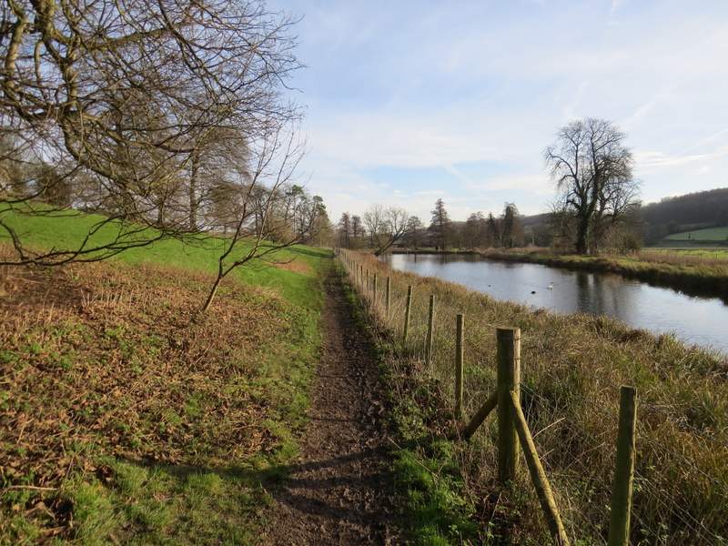
The path by the river, near Latimer House
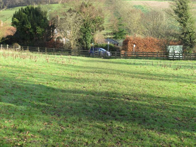
The same path approaching the gate on the edge of Latimer
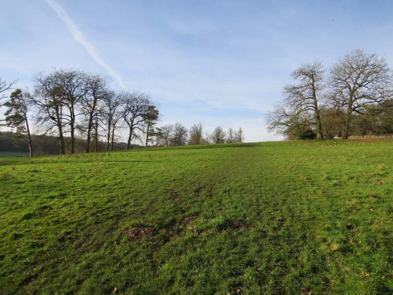
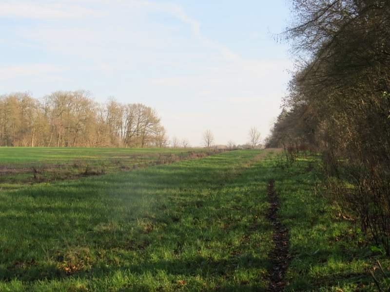
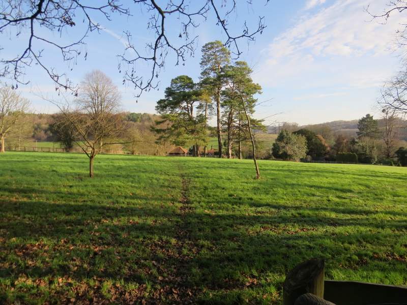
The next path, almost doubling back from the gate
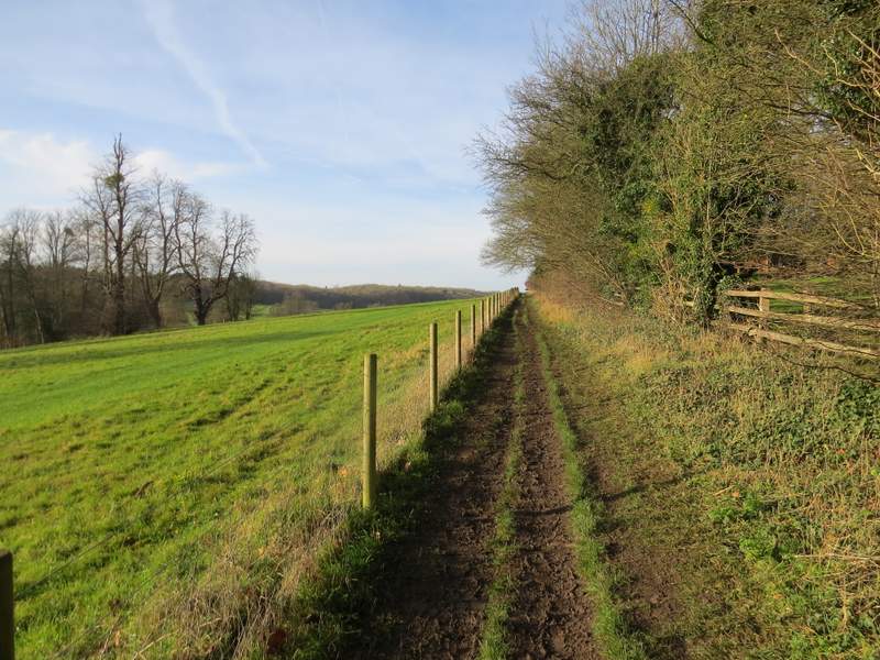
The path continuing on towards Latimer House
The path continuing on past Latimer House
After several hundred yards, the path turned right for a short distance then turned left to continue along the hillside above the valley. There was now a wood on my right. After several hundred more yards the path started to descend slightly, then the path ended at a gate on the right. Through this gate I immediately turned right on a path through the wood (I think this was a new path for me - the OS map shows it as the route of the Chess Valley Walk, but when I did that I took the alternative route which I'd just followed from Latimer - there were signs at the gate showing both options were part of the Chess Valley Walk and the route I'd just come was also part of the Chiltern Heritage Trail). The path went through part of the wood, leaving it at a field corner where it went right and followed the edge of the wood. After some distance the path started to run between fences and eventually emerged on an area of grass close to a small residential development. After a few yards there was a gap in the bushes on the left where the path ended on a lane where I turned right (I was now back on familiar territory, as I've often used a path a little further along the lane).
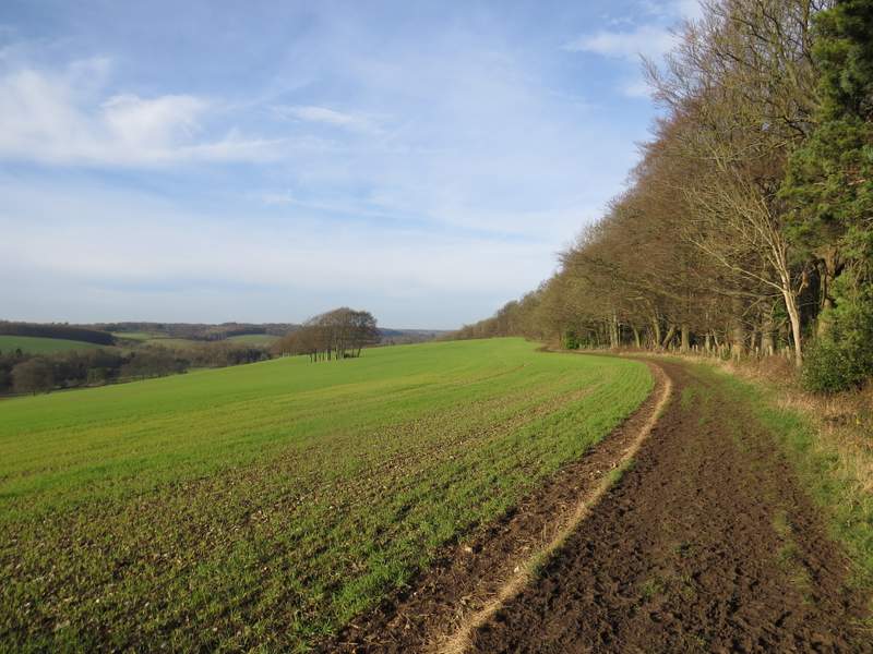
The path continuing beside the wood
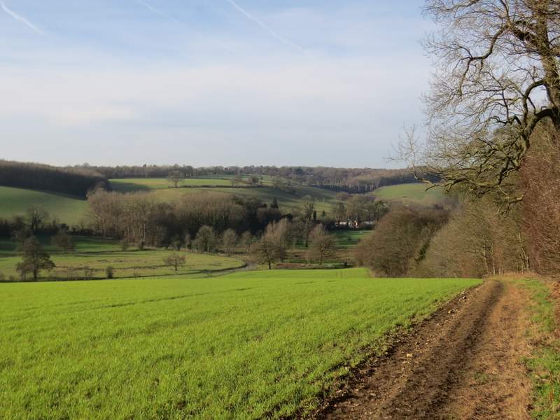
View across the Chess Valley, from where I went through a gate into the wood and immediately turned right
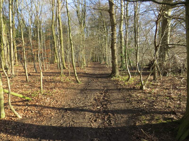
The path through the wood
The path continuing beside the wood
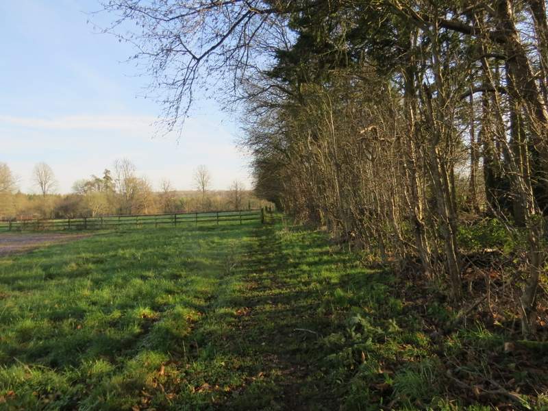
The path continuing beside the wood
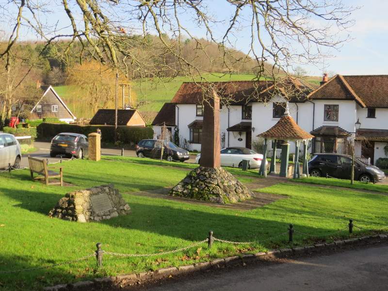
After a while I passed Latimer church on my right and a few yards further on I took a footpath on the left. This soon crossed a grassy paddock or part of a garden, then ran down a short alley to enter Latimer, having thus cut off a corner of the lane I'd been following. I crossed the lane and kept to the right of the village green (this has a pump, a Boer War memorial and a memorial marking where the heart of a horse belonging to a general killed in the war is buried). I then carefully turned right and soon came to the gate (on the right) where I'd almost double-backed on myself earlier (NOTE: if I'd shortened the walk, this is where I'd have continued). Again I did not go through it, but took the footpath on the other side of the road.
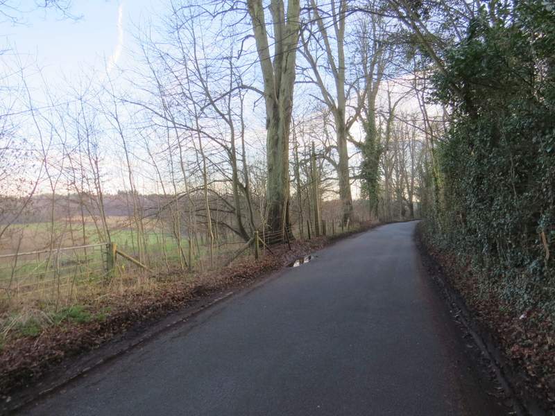
The lane to Latimer
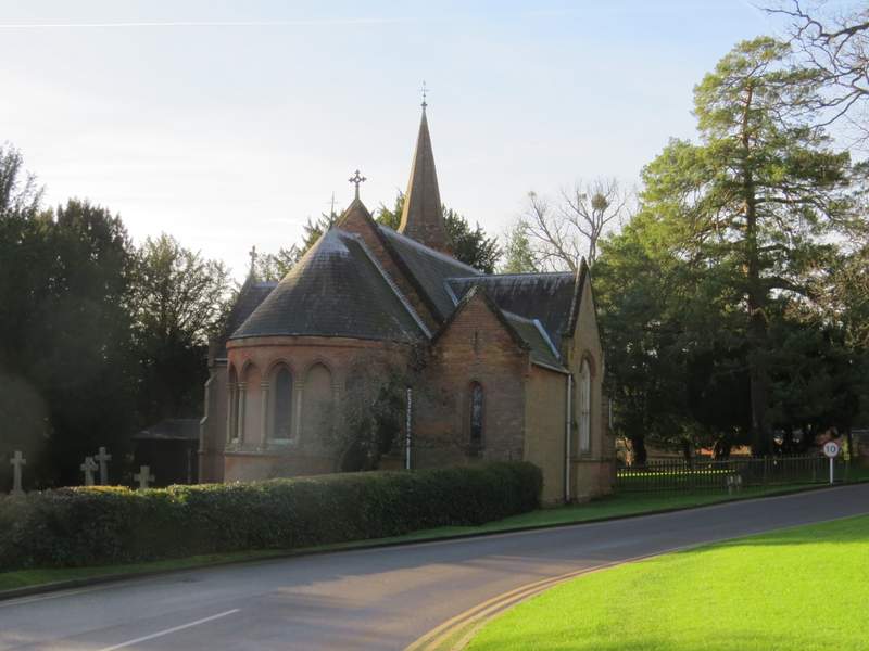
Latimer church
The path to Latimer, cutting a corner from the lane
The centre of Latimer