Pete's Walks- Chenies and the Chess Valley (page 3 of 4)
If you are considering walking this route yourself, please see my disclaimer. You may also like to see these notes about the maps and GPX files.
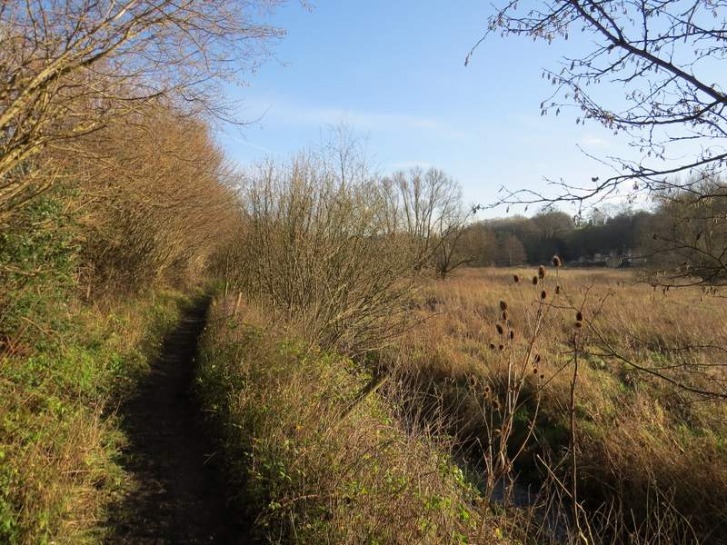
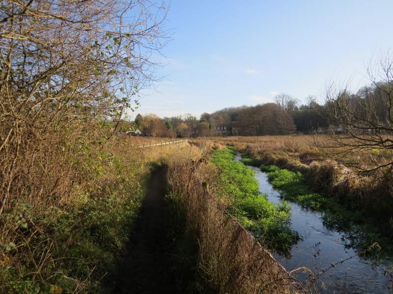
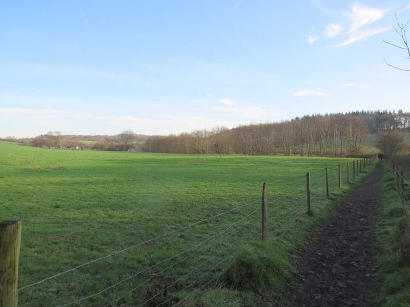
The path went through a small enclosure and through a gate. It crossed part of an irregularly shaped pasture to the corner of a fence and continued along the valley, with the river Chess away to my right. After a while there was an area of bushes and reeds over on the right, the site of the old church of Flaunden (it was abandoned due to frequent flooding in the early 1800's, when the whole village moved to its present site). The path continued on beside a hedge on my left and then further on ran between hedges for a while, now with the river much closer by on the right. After running between fences for a while, it eventually reached a farmyard and a lane at Chenies Bottom.
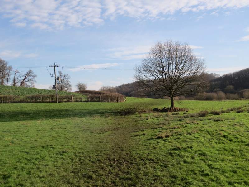
Near the start of the path from Latimer to Chenies Bottom
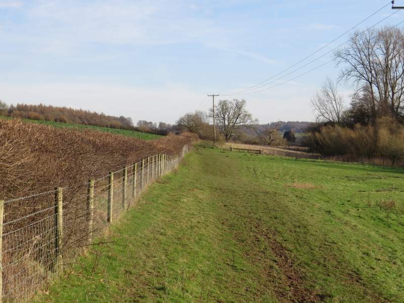
The path from Latimer to Chenies Bottom, where it passes the site of old Flaunden church
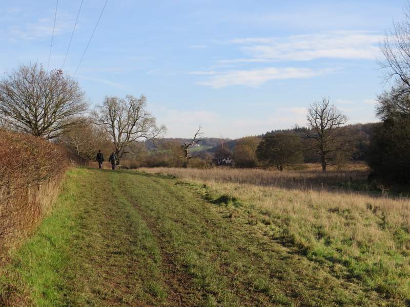
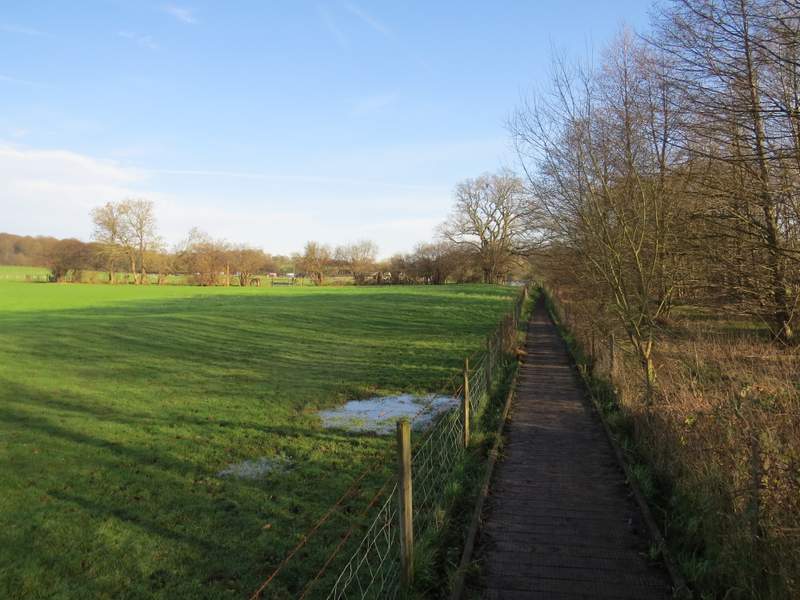
The path from Latimer to Chenies Bottom
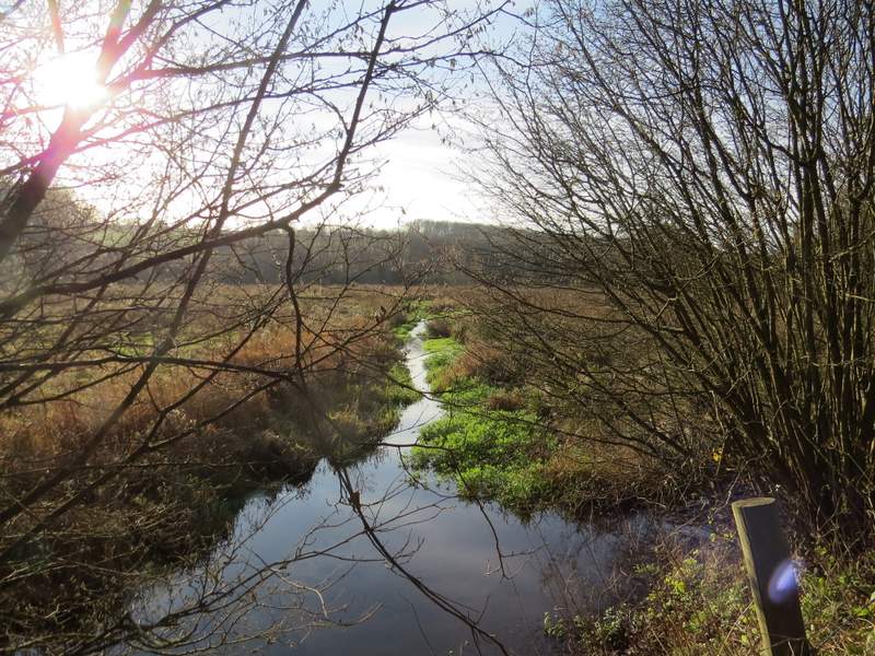
The river Chess, from the path from Latimer to Chenies Bottom
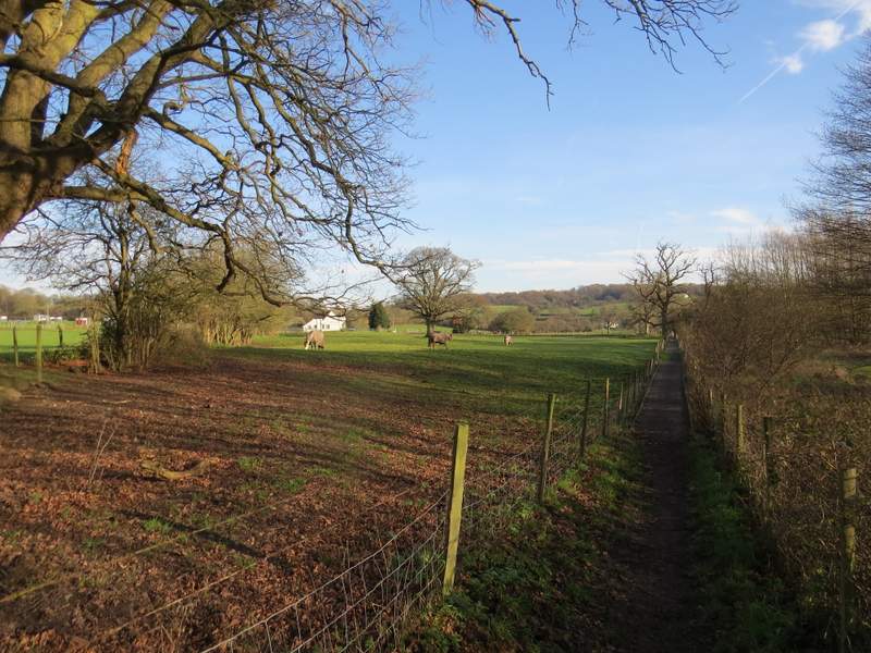
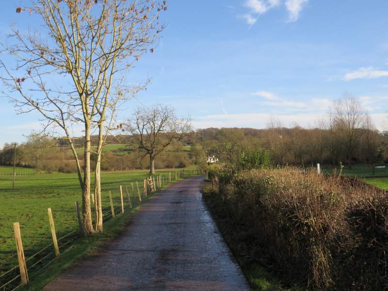
Approaching Chenies Bottom
Approaching Chenies Bottom
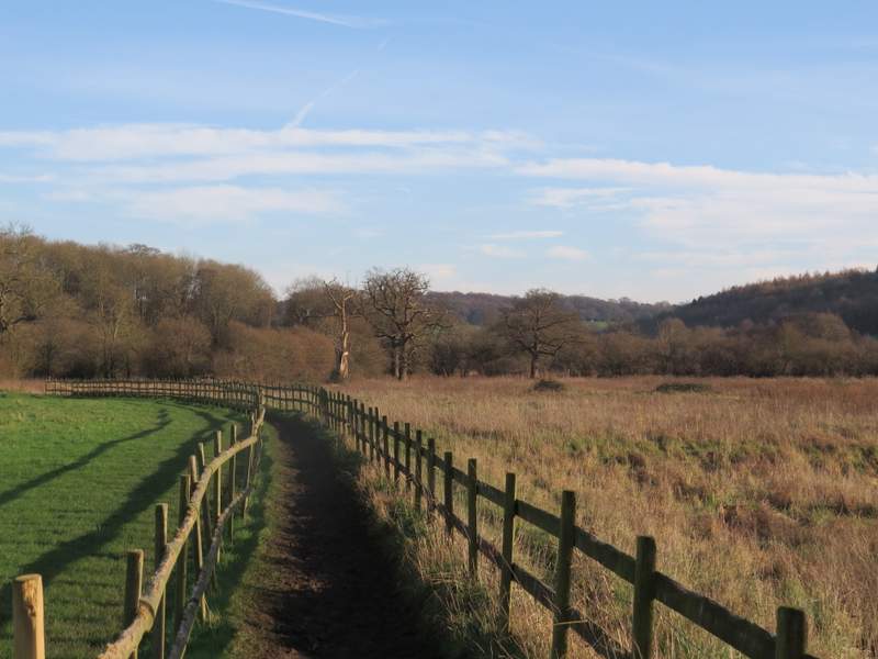
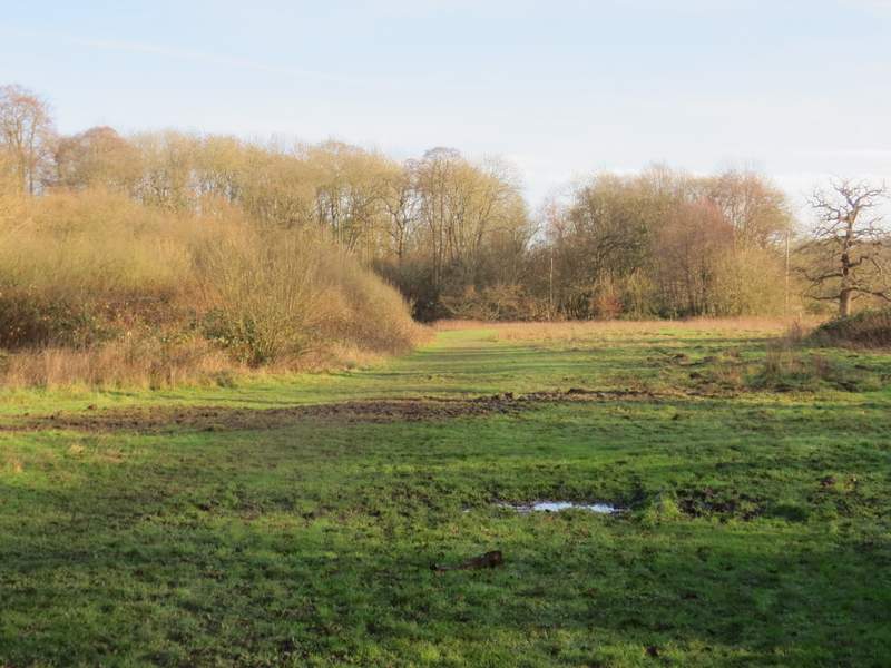
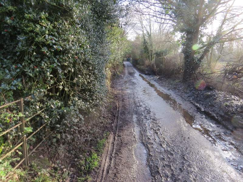
I went a few yards left along the lane, then took a footpath on the other side. A group of three people were just ahead of me here, and two of them were waiting at the start of the path while the third went 10 or so yards along the path before coming back. The path was very muddy and very slippery and I think he was wearing trainers. I managed to plough my way through the mud (as did several people coming the other way), though I frequently had to grab one of the wooden fences either side of the path to steady myself as my feet slid from under me. When the fence ended, the path continued across a muddy meadow or pasture (there had sometimes been horses here in the past, I remembered) and then passed through a small area of trees. The path then continued for several hundred yards between fences, with fields and then paddocks on my left and nice views ahead along the valley.
The path continuing along the Chess Valley from Chenies Bottom - this section was very slippery with mud
The path continuing along the Chess Valley from Chenies Bottom
The path continuing along the Chess Valley from Chenies Bottom
The path continuing along the Chess Valley from Chenies Bottom
The path continuing along the Chess Valley from Chenies Bottom
The path eventually reached a surfaced drive close to a commercial cress-growers on my right, where I continued straight ahead down the drive. At the end of the drive I turned right and followed a lane and then a path to reach Sarratt Bottom. I took a brief detour by going a few yards right to a footbridge and taking some photos of the river. I then continued along the valley, initially with some bushes on my right. The hillside on my left clearly had the remains of strip lynchets on it, ancient agricultural terraces (though rather oddly this isn't shown on the OS map).
The drive from the commercial cress beds
The lane to Sarratt Bottom
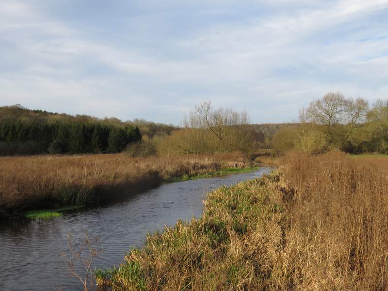
Looking back along the river Chess from the footbridge at Sarratt Bottom
The path continuing from Sarratt Bottom
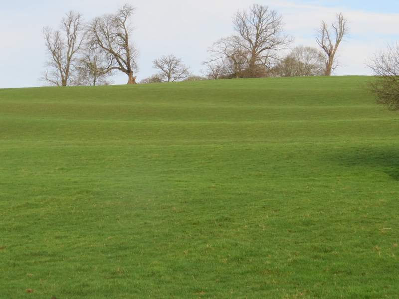
Strip lynchets (ancient cultivation terraces) on the hillside above Sarratt Bottom (oddly they are not shown on the OS map)