Pete's Walks- Cholesbury, Ashley Green, Wigginton (page 2 of 4)
If you are considering walking this route yourself, please see my disclaimer. You may also like to see these notes about the maps and GPX files.
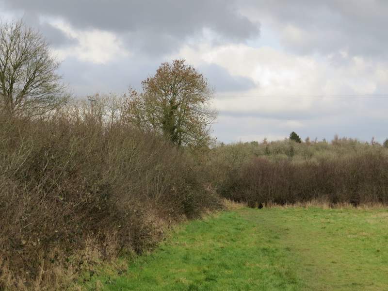
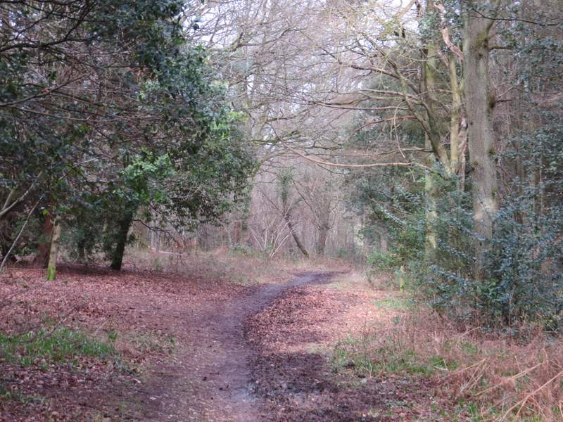
I turned left along the road and then, opposite a pub, I turned right onto a bridleway. After some distance the bridleway turned right and went gently uphill, before turning left. It turned right again to reach Flamstead Farm (about half a mile from the road), where it turned left and soon joined the farm drive, following it to Hog Lane in the village of Ashley Green. Across the lane, a footpath started alongside a garden fence, continuing along the left edge of a meadow. It then switched to the other side of the hedgerow, and continued along the right edge of a large ploughed field, dropping downhill towards Hockeridge Wood.
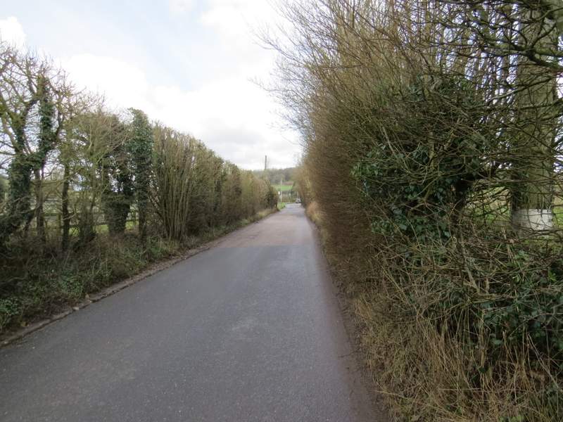
The road through Chesham Vale
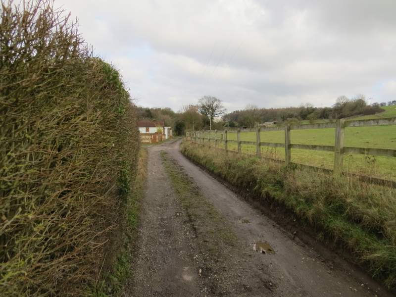
Near the start of the bridleway to Flamstead Farm
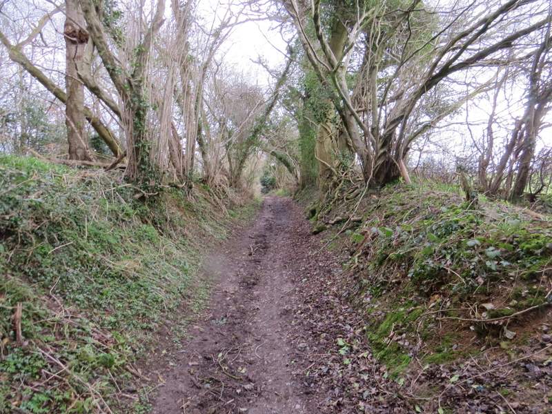
The bridleway to Flamstead Farm
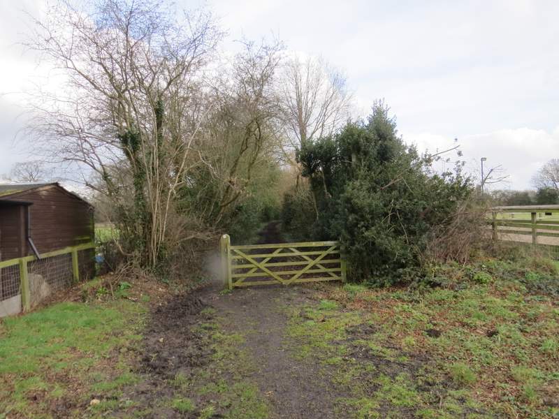
The bridleway continuing from Flamstead Farm
The path from Ashley Green to Hockeridge Wood
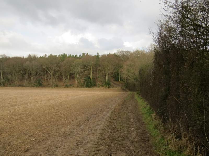
Approaching Hockeridge Wood
When I did this walk in 2010 I turned right somewhere in Hockeridge Wood, then followed a bridleway along Hockeridge Bottom to reach the northern tip of the wood. The only other time I'd walked through this wood, on a walk I did in October 2011, I'd taken a more direct route straight through the wood but had not found the footpath that the OS map shows doing this. Today I wanted to try again to find that path and use it. But again there was no sign of it, and as last time, once I entered the wood I didn't see any footpath signs at all. It was easy enough to simply go straight on along a clear track through the wood (as I did last time I was here) and I soon stopped worrying about trespassing as there were one or two benches by the track so visitors were obviously welcome. There were also little notices by some of the trees, saying what they were and where they were from - as well as native British species, there were trees from as far away as America and China. In the centre of the wood there were two or three wooden picnic places and an information board welcoming visitors to Hockeridge Wood and the neighbouring Pancake Wood (lovely name!). While I was looking at the board, a lady came by walking her dog and I asked her if she knew whether the footpath (shown on the board, as well as the OS map) actually existed. She said it did, but was very marshy - not muddy but grass that was always wet. I continued on along the track, and just before I reached the edge of the wood, the path did indeed come in on my left as the map indicated it would. Perhaps I'll explore it if I ever do this walk in the opposite direction.
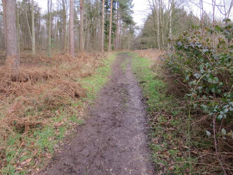
The track through Hockeridge Wood
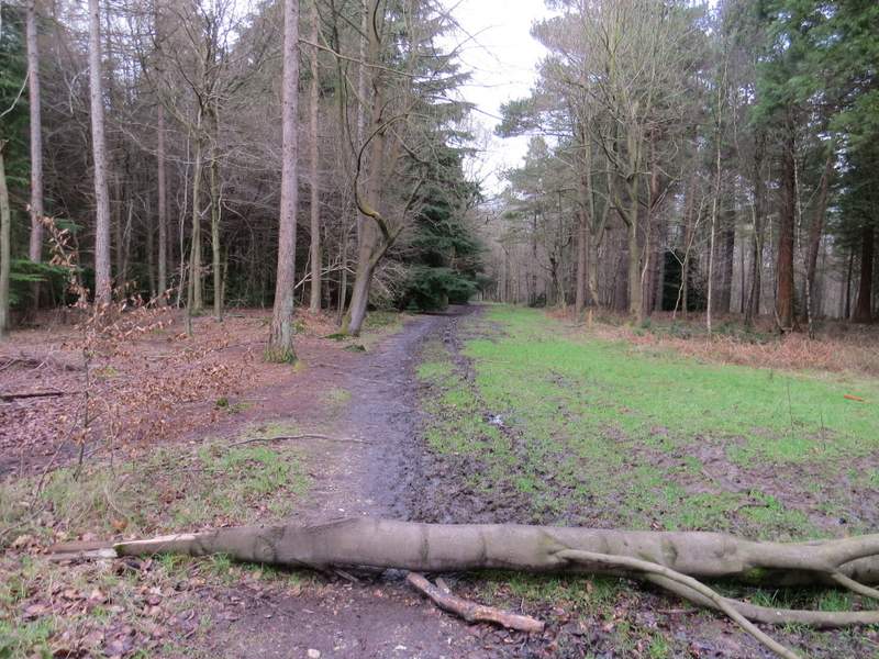
The track through Hockeridge Wood
The track through Hockeridge Wood
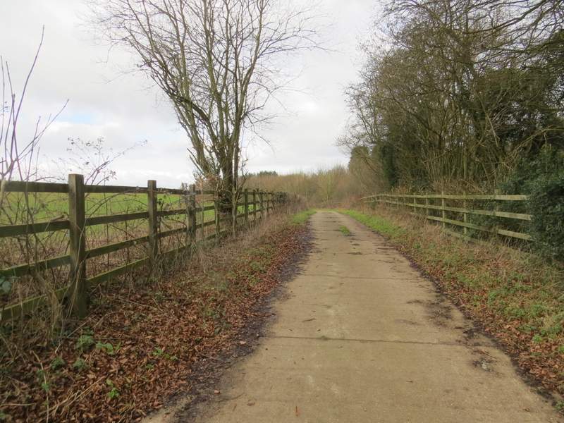
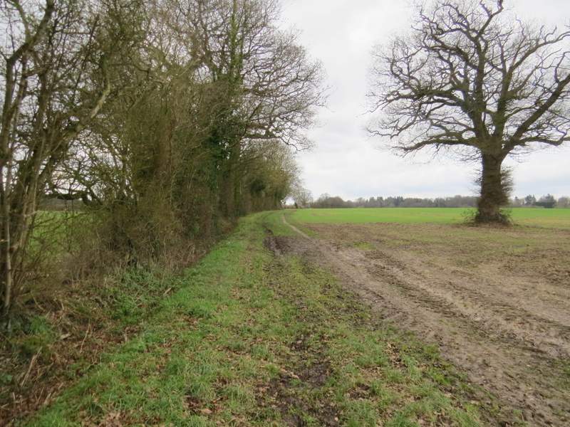
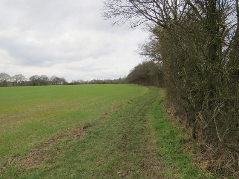
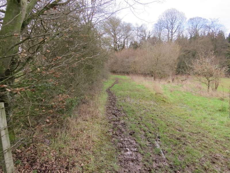
Beyond Hockeridge Wood, I went a few yards right along a lane, then took a bridleway on the other side (just past a lane junction) that started along a cement farm drive, with the A41 dual carriageway close by on my right. After a quarter of a mile or so, the bridleway turned left and followed a hedgerow on the left. After another quarter of a mile or so it switched to the other side of the hedge (after passing two fields on the left), before switching back to the right of the hedge just before reaching a wood called Cock Grove. There was then a very muddy stretch as the bridleway continued between the wood and Marlin Chapel Farm on my left. In fact I was concentrating so hard on where to put my feet I almost missed the junction where I had to take a footpath forking right from the bridleway. Almost straightaway it passed the ruins of Marlin Chapel, before continuing along the edge of some parkland in front of a grand house called Rossway.
The start of the bridleway to Marlin Chapel, running beside the A41 on the right
The bridleway to Marlin Chapel, now heading away from the A41
After two fields on the left, the bridleway switches to the left of the tall hedgerow ...
... before switching back to the right, just before reaching Cock Grove
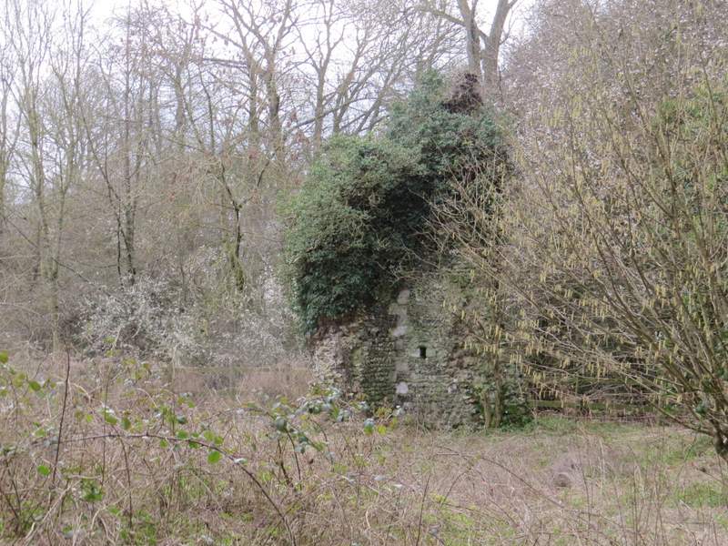
The ruins of Marlin chapel (thought to date to the mid-thirteenth century
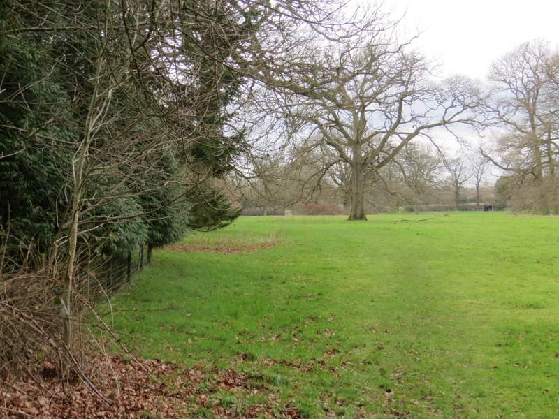
The path continuing through the grounds of a large house called Rossway