Pete's Walks- Cholesbury, Ashley Green, Wigginton (page 1 of 4)
If you are considering walking this route yourself, please see my disclaimer. You may also like to see these notes about the maps and GPX files.
I did this circular walk of about 12.7 miles on Sunday, February 14th, 2016. It was a very slight variation of a walk I did in May 2010. I'd intended to start the walk at Buckland Common (as I did the previous time I did it), but the small car park there was full (as it was the last time I tried to start a walk there) so instead I parked on the edge of Cholesbury Common close to the junction with a lane called Ray's Hill (grid reference SP 934070.
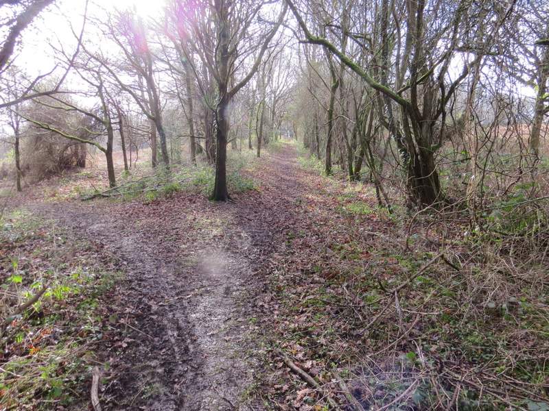
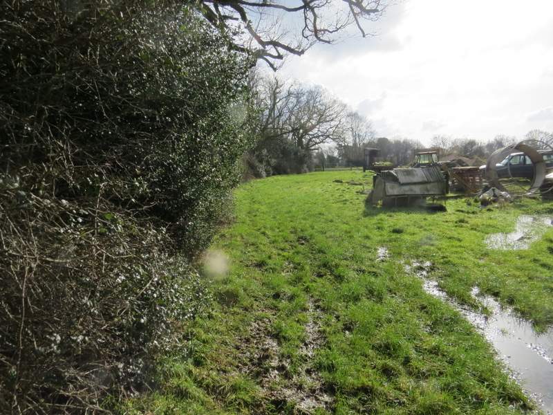
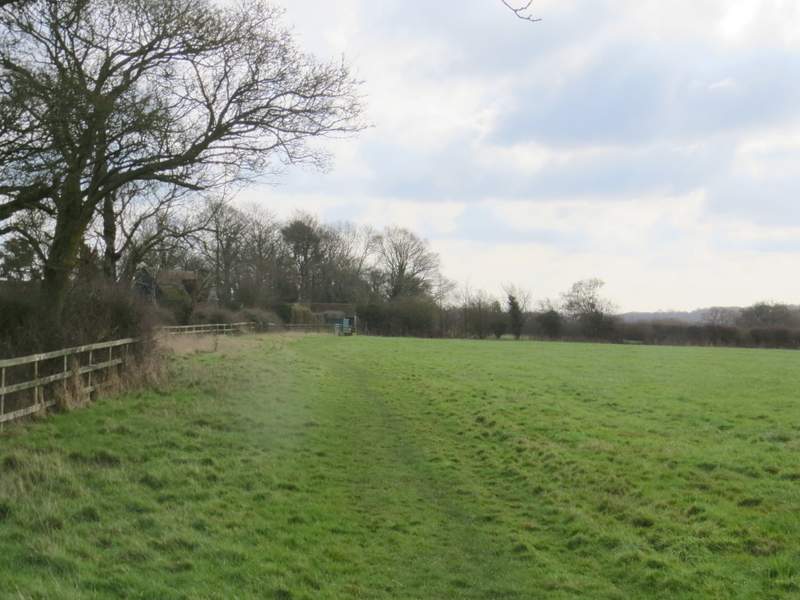
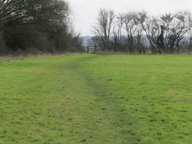
I started walking just before 11am. I walked across Cholesbury Common, heading away from the road junction where I'd parked and following a wide grass strip into a small valley, where I turned right along a very muddy track following the valley bottom (I was pretty much on the county boundary here, Hertfordshire on my left, Buckinghamshire to my right - I think!). It was so muddy along here, with hindsight Id have done better to have just followed the road along the top of the common. When I reached a lane, I went a few yards right then took a path starting on the other side. I followed this gently back up through the common in a more or less straight line, ignoring several other paths crossing or going off either side.

The very muddy track along the bottom of Cholesbury Common
The path across the lane, going back up through the common
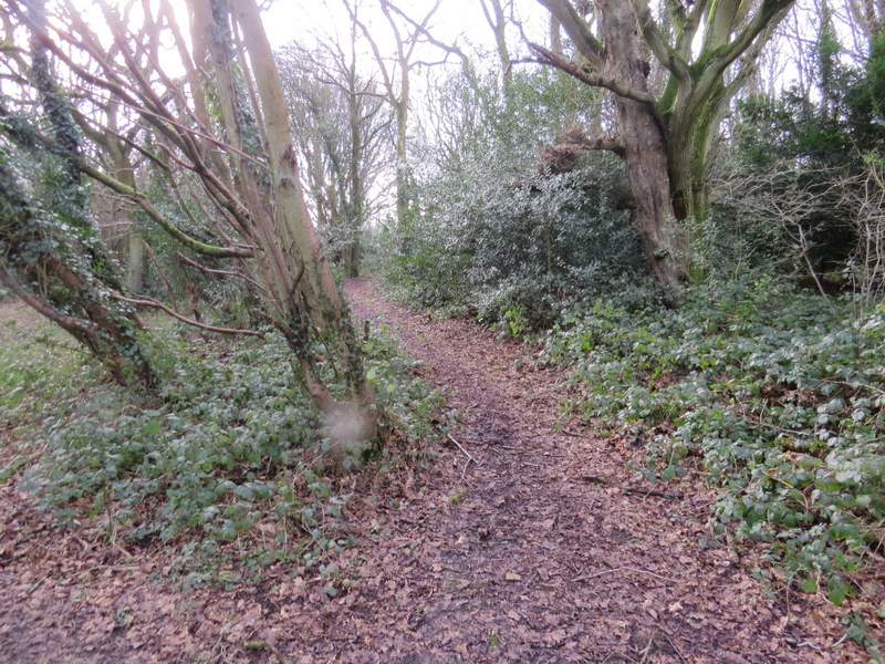
The path across the lane, going back up through the common
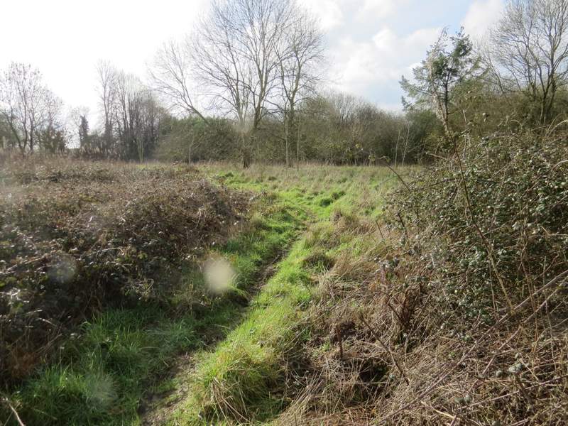
When I reached a road (the one I'd parked along) I crossed over and continued along a path on the other side. This soon turned left and ran behind some gardens. Just past the last garden, the path went half-right through an area of brambles and long grass. It then went over a couple of stiles in quick succession to reach the edge of a farmyard where I followed a hedgeline on my left. Leaving the farmyard area I had to go over a stile into an absolute morass of mud, which I avoided the best I could by clinging precariously to the posts of a barbed-wire fence on my left. The path then continued along the same hedgeline, through a large meadow. The path then went over two or three more stiles as it passed Hawridge Place. In the next grassy field there were two slightly diverging paths - I took the rightmost one, heading for a protruding hedge corner, and continued along the hedge to pass close to Hawridge Church and Hawridge Court, on my left.
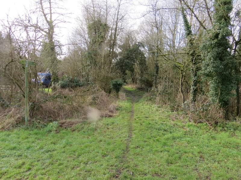
The start of the path across the road (apologies for the spot of dirt on my camera lens that mars a large number of the photos I took today!)
Further along that path
The same path passing the farmyard
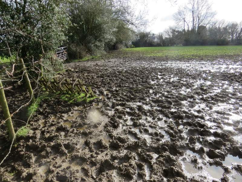
The extremely muddy bit just past the farmyard - it extended a good way to the right, and I ended up precariously following the barbed wire fence on the left
The path continuing in the next meadow
Passing Hawridge Place
Approaching Hawridge church and Hawridge Court
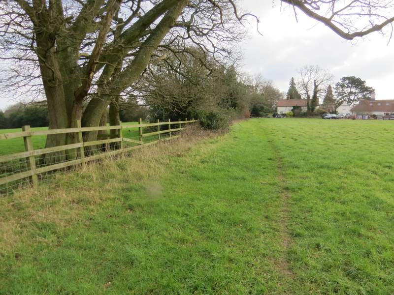
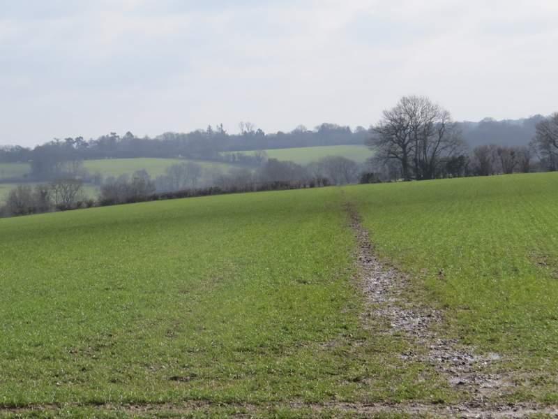
Beyond another grassy meadow, the path continued in the same south-easterly direction through two or three huge arable fields. The path was following a ridge, with valleys either side - the valley to my right was White Hawridge Bottom, through which I've walked several times, and on its far side I could see Ramscoat Wood. Beyond the second or third crossing hedgerow, the path turned left, then right again in the field corner. Soon the path started dropping down the end of the ridge. When I came to a path junction I turned left, and followed a path past Bower Farm to reach a minor road running through Chesham Vale.
Just past Hawridge Court
The path now ran along a ridge between two valleys ...
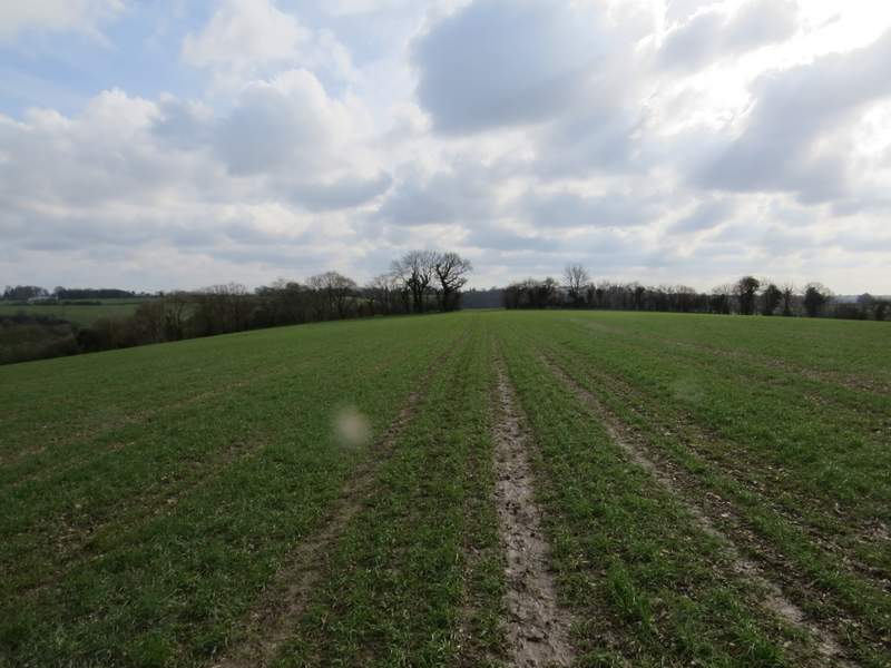
... which can be seen a bit more clearly in this shot. That speck on the camera is really annoying me now!
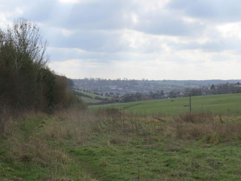
Near the end of the path as it descends the end of the ridge - the northern outskirts of Chesham are in view ahead
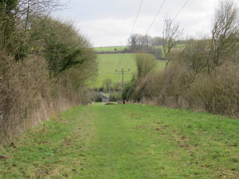
The path past Bower Farm