Pete's Walks- Four Hills Walk (page 1 of 6)
If you are considering walking this route yourself, please see my disclaimer. You may also like to see these notes about the maps and GPX files.
I did this circular walk of about 12.9 miles on Thursday, 9th June 2016. It was a repeat of what I call my 'Four Hills walk' (it's just a snappier title than Coombe Hill, Beacon Hill, Pulpit Hill and Whiteleaf Hill), using the alternative route down Pulpit Hill marked as 'Alternative 1' on the Google map.
I parked at the Coombe Hill car park (Grid Reference SP 852063) and started walking about 10:10am. From the gate at the road end of the car park, I took the leftmost path, running close to a hedge and fence on my left. After two or three hundred yards I passed a metal kissing-gate on my left, where I crossed the route of the Ridgeway national trail. A little further on the path started to descend down the steep western slope of Coombe Hill - this is one of the steepest paths I know in the Chilterns, and after some recent heavy rain its mud and chalk surface was very slippery. At the bottom of the slope, the path ran along a track past part of a golf course on my right, then past a couple of cottages to reach a road. I went a few yards right, then took a path on the other side of the road which ran through a huge corn field, with Beacon Hill ahead and slightly to the left. On the far side of the field, the path turned right down a track that soon led to a road opposite Ellesborough church.
The path from the car park at Coombe Hill
Looking half-right from just after crossing the Ridgeway national trail, at the top of the steep descent down the western side of Coombe Hill
Starting the steep descent down the western side of Coombe Hill
The descent down the western side of Coombe Hill - the path was very slippery here (and much steeper than the photo makes it look)
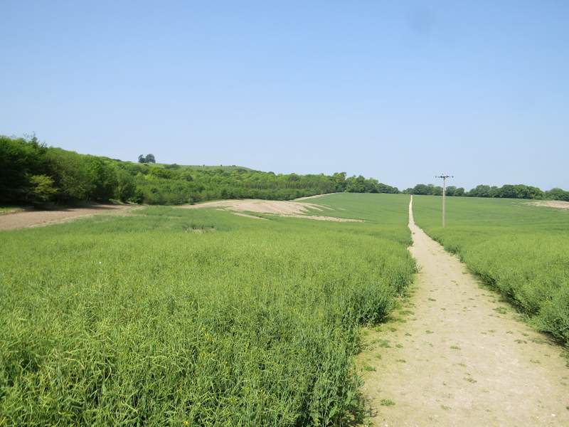
The path across the corn field
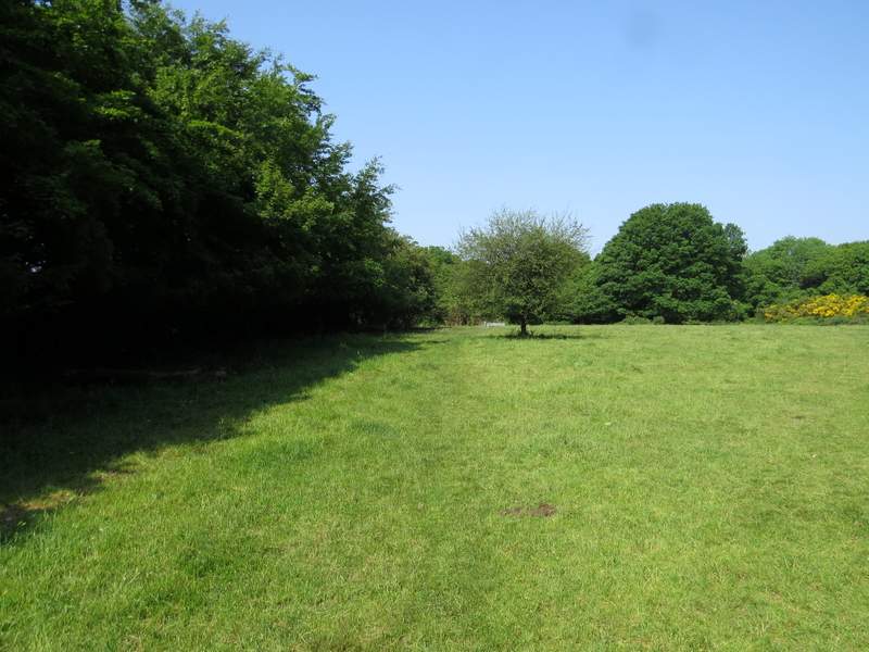
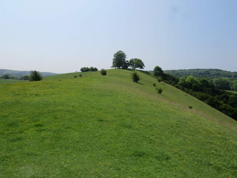
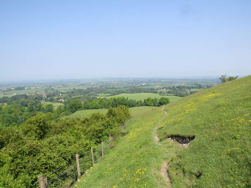
I turned left for a few yards, then turned left again onto a footpath that crossed a large sheep pasture. Beyond this, I varied from my usual route here by going straight on up the northern side of Beacon Hill (I normally follow the footpath round to the right of the top of the hill, then turn left on a steep path to the top - this is the route shown on my Google map). This was quite a long trudge uphill, by Chiltern standards, and got quite steep at the top. There is what I've always supposed to be a tumulus or burial mound at the northern end of the hill top, but it is not shown on the OS map. After taking a couple of photos (and getting my breath back), I continued along the top of Beacon Hill to a fence (the boundary of the Chequers estate), where on the other side some cows were sheltering under some trees. I turned right just before the fence, dropping down to a faint path where I turned right and walked back with the top of the hill just up to my right. When I came to a steep path (the way I usually go up to the top) I turned left and descended to the footpath below me. Here I turned left, following the path round the side of Beacon Hill to the wooded Ellesborough Warren.
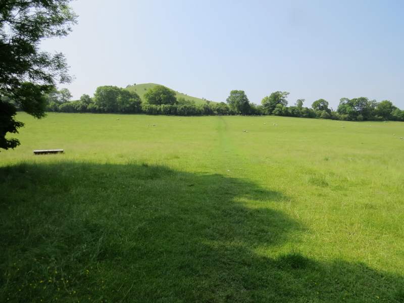
The start of the path to Beacon Hill
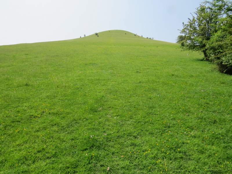
The faint path straight up the northern side of Beacon Hill (or the 'North Face' as I jokingly thought of it as I trudged up here)
The level top of Beacon Hill, from the 'tumulus' - the trees at the other end of the hilltop are just over the fence round the Chequers estate, and had cows sheltering under them when I got there
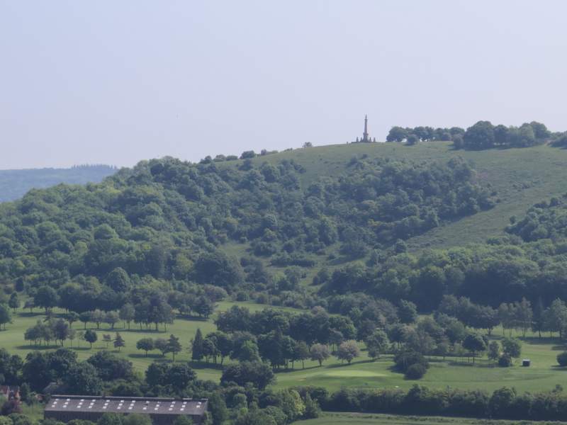
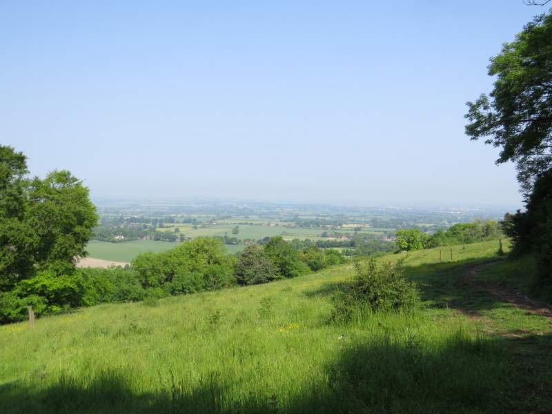
A hazy view back to Coombe Hill from Beacon Hill - I would visit the Boer War monument near the end of my walk
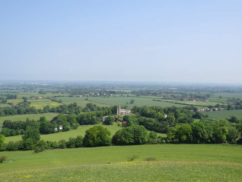
From Beacon Hill, looking north over Ellesborough and part of the Vale of Aylesbury - I think this gives a better idea of how steep the 'North Face' is
The path going back northwards just below the top of Beacon Hill
Back on the public footpath round the western side of Beacon Hill, approaching Ellesborough Warren
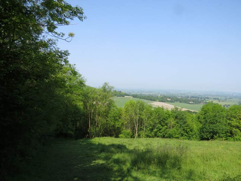
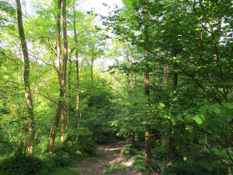
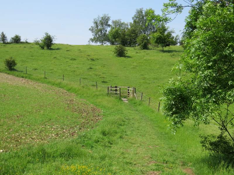
The path ran through Ellesborough Warren, turning right at one point and going up some wooden steps. It then crossed a meadow, with a view to my right out over the Vale of Aylesbury, before running along a track through what I think is part of Whorley Wood. After crossing a track and going through a gate, I turned right and followed a fence close by on my right to reach a wooden kissing-gate, beyond which the path rose up a small 'embankment'. At the top I turned left (there were some cattle just to my right here), and followed a path with the wooded slopes of Great Kimble Warren on my right. This led me to a stile or gate (I forget which) and another path (named Cradle Footpath on the OS map, I don't know why) where I turned right.
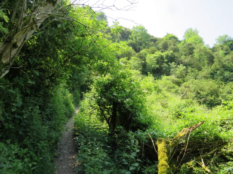
The path continuing through Ellesborough Warren - if you look carefully you can see wooden railings where the path turns right and goes up wooden 'steps'
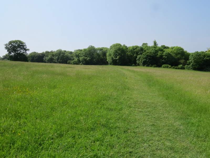
The meadow after Ellesborough Warren

The path continuing through Whorley Wood
The short path after I turned right after Whorley Wood
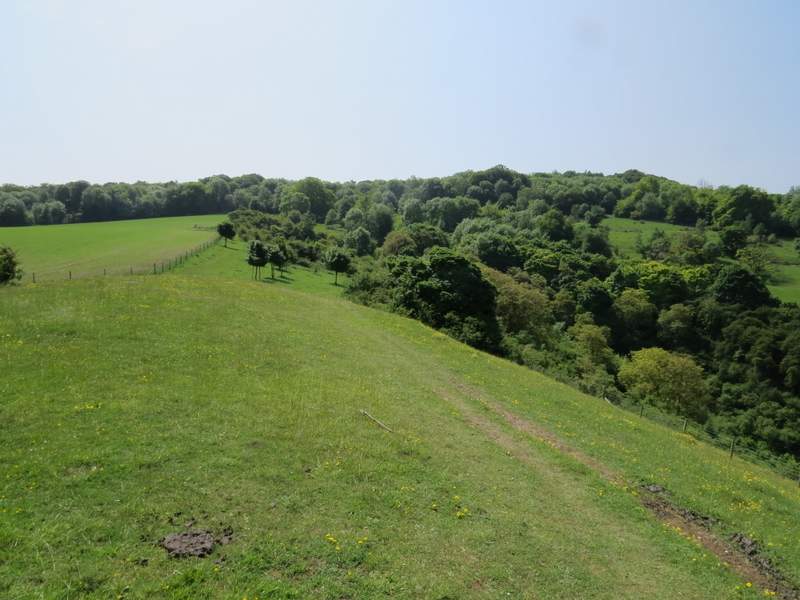
The path continuing along the top of Great Kimble Warren