Pete's Walks- Four Hills Walk (page 2 of 6)
If you are considering walking this route yourself, please see my disclaimer. You may also like to see these notes about the maps and GPX files.
I followed the Cradle Footpath (part of the route of the Ridgeway national trail) past some trees and through an attractive area of grass, wildflowers and bushes. Just after a path came in on the right, I turned right and went the short distance to the top of a hillock named Chequers Knap and briefly admired the views. I then turned round and went down a path a few yards right of the one I came up to reach a metal kissing-gate under a tree and a bridleway. Leaving the Ridgeway, I turned left and followed the bridleway as it went uphill just north of Pulpit Hill. When a footpath came in on the left (at a waymark on a post), I turned right on a clear path (not shown on the OS map) that led through Pulpit Wood and up to the hill fort on the summit of Pulpit Hill.
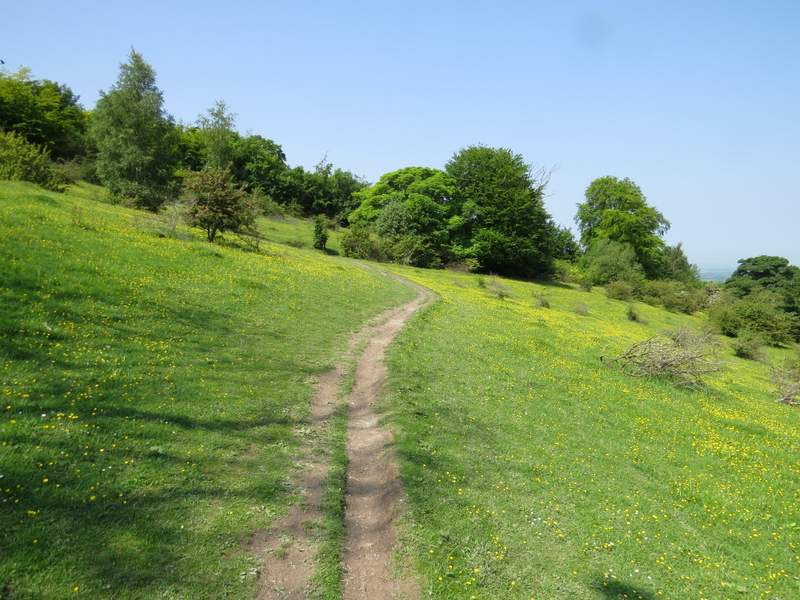
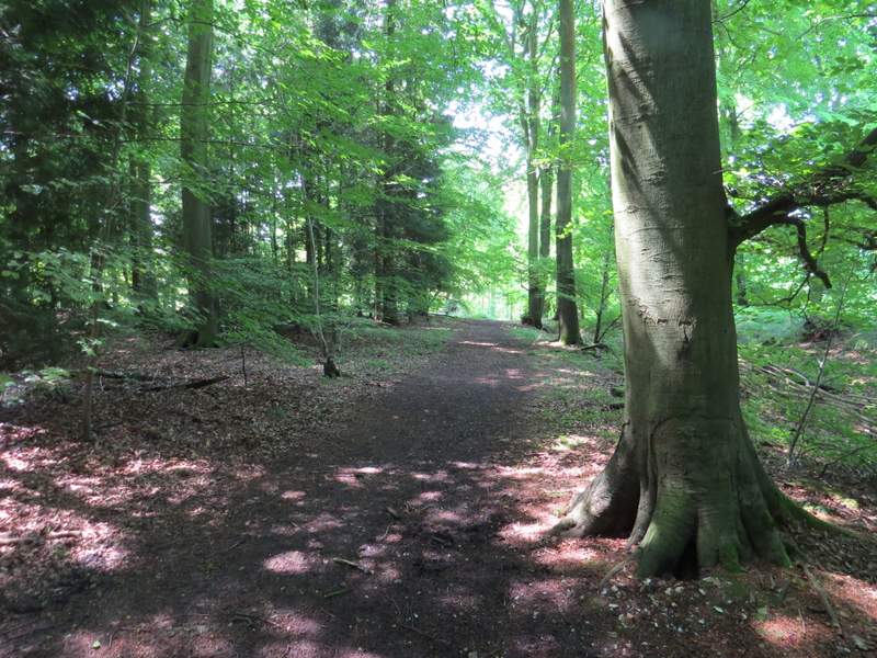
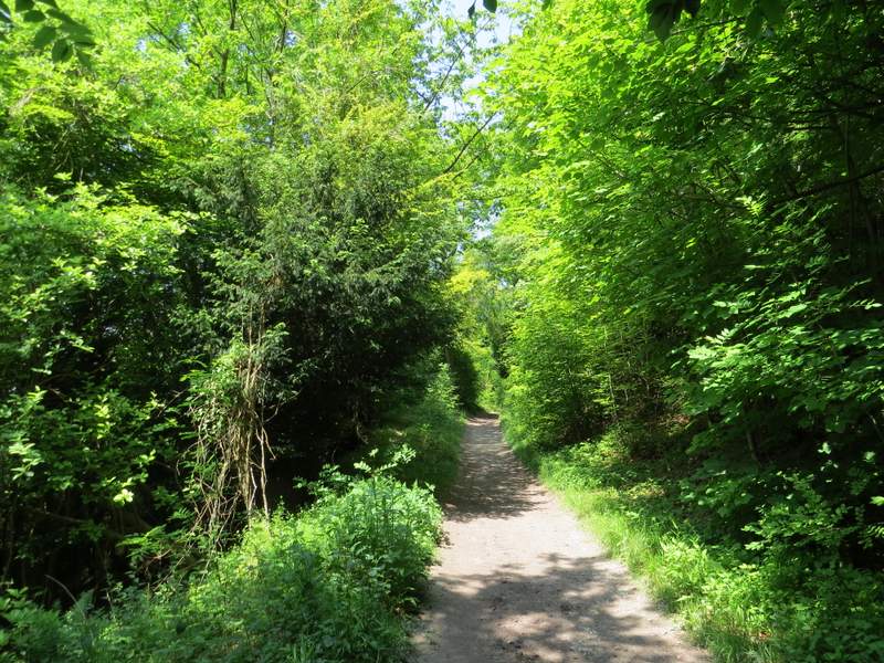
Cradle Footpath
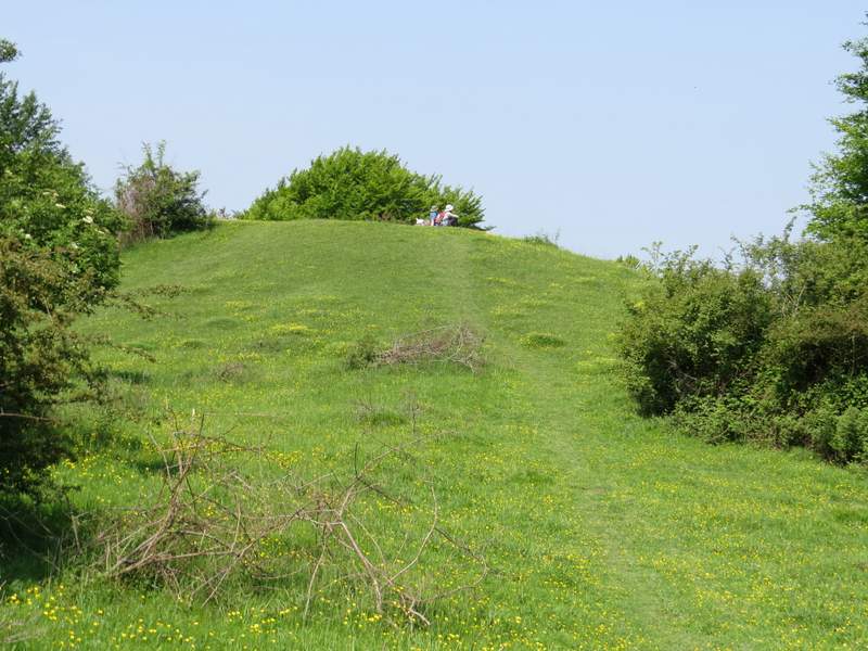
The path up Chequers Knap
The path down Chequers Knap
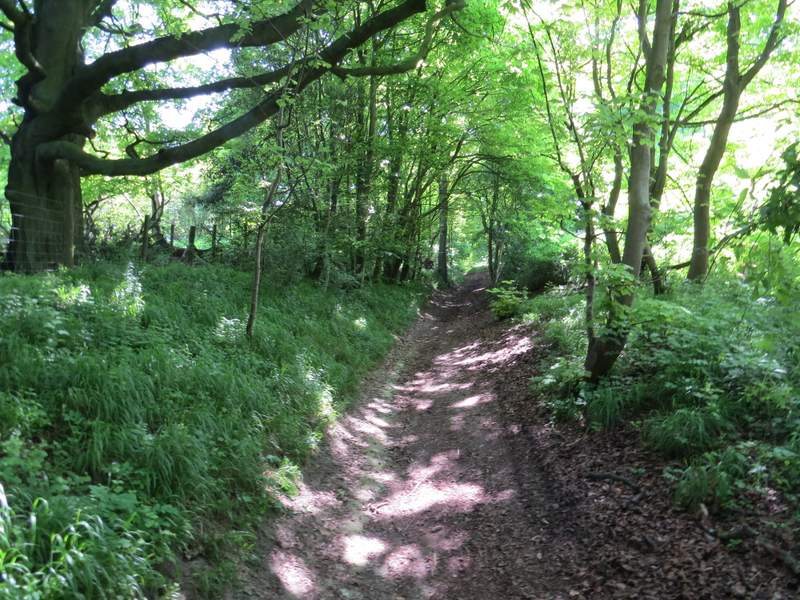
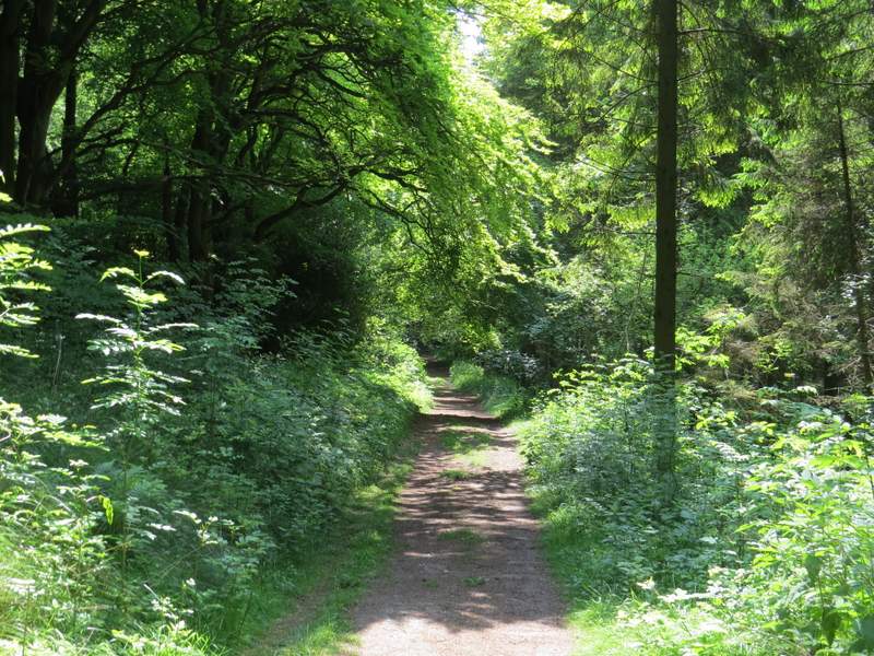
The bridleway to the north of Pulpit Hill
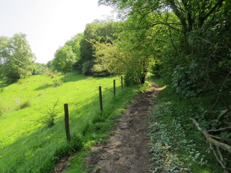
The bridleway to the north of Pulpit Hill
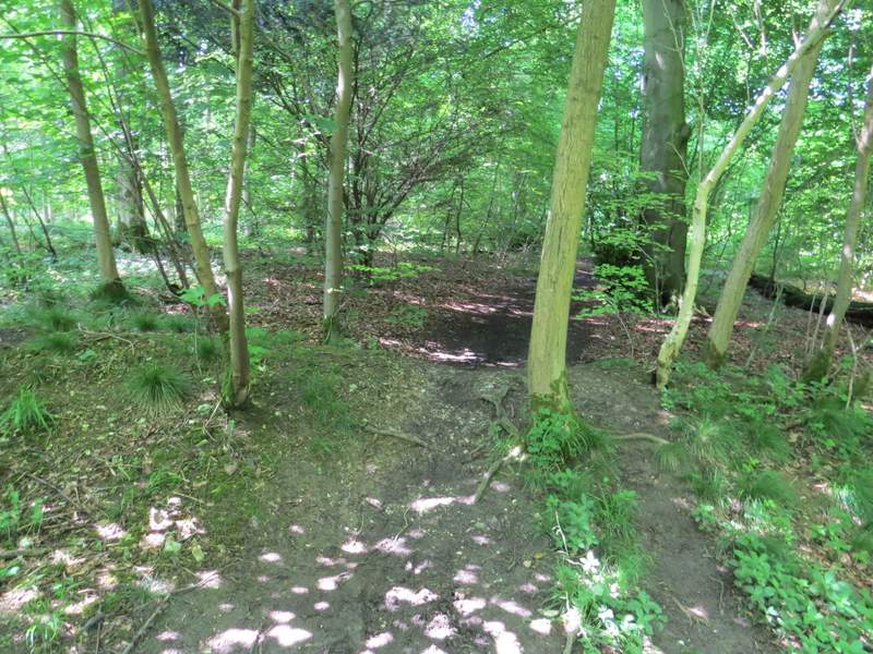
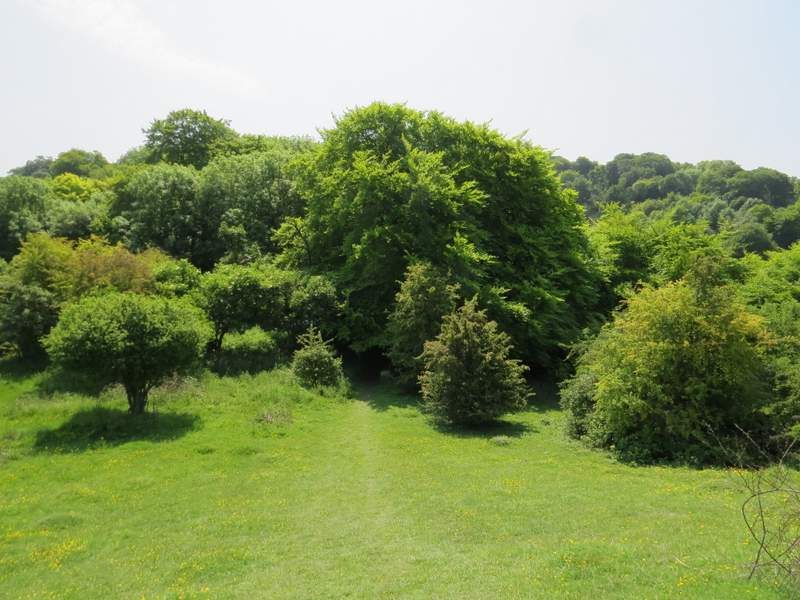
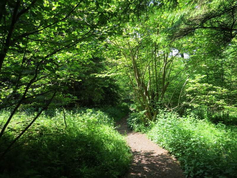
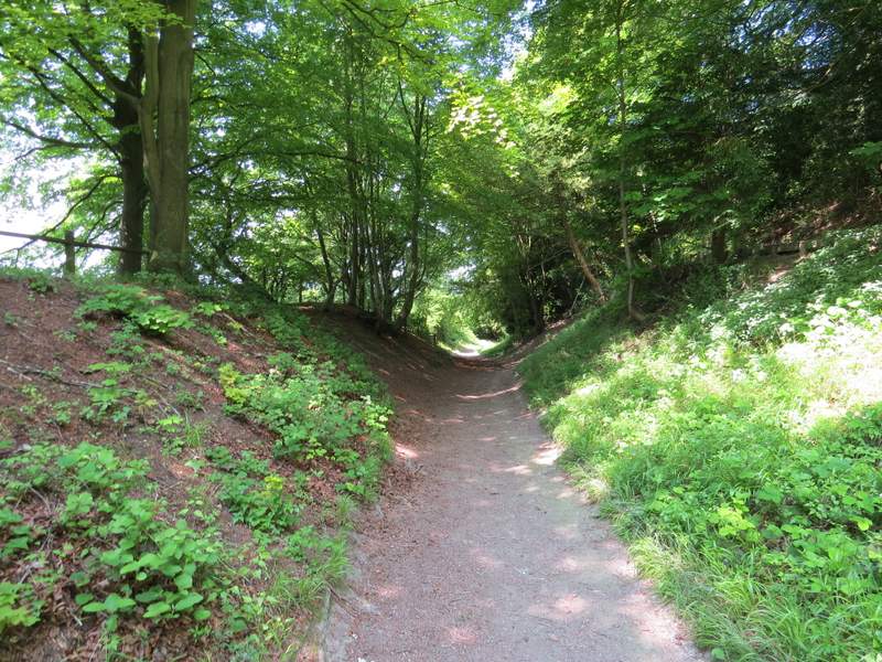
The path to the top of Pulpit Hill
The path to the top of Pulpit Hill
I turned left to walk through the hill fort (the banks and ditches are not really clear), then turned right on the far side to descend slightly for a very short distance to a track, where I turned left (again this very clear track is not shown on the OS map, but this is an Open Access area anyway). After a few hundred yards a public footpath (this IS shown on the OS map) crossed the track, and I turned right and followed it downhill to a small car park. Here I turned right again, along a bridleway on a track heading northwest along the bottom of Pulpit Hill. After some distance I decided to vary from my usual route here, by going through a pedestrian gate on the left into a nature reserve (I've always thought it was the Grangelands and Pulpit Hill nature reserve, as stated on the OS map, but the sign on the gate said Grangelands and Rifle Range nature reserve), where I turned right and followed a faint path running parallel to the bridleway (over the fence or hedge on my right).
Inside the hill fort on top of Pulpit Hill
The path the other side of the hill fort
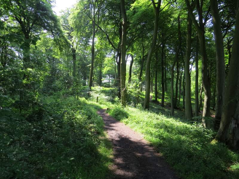
The track going southeast from the top of Pulpit Hill
The path down the southern side of Pulpit Hill
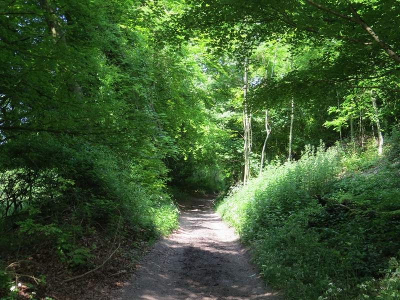
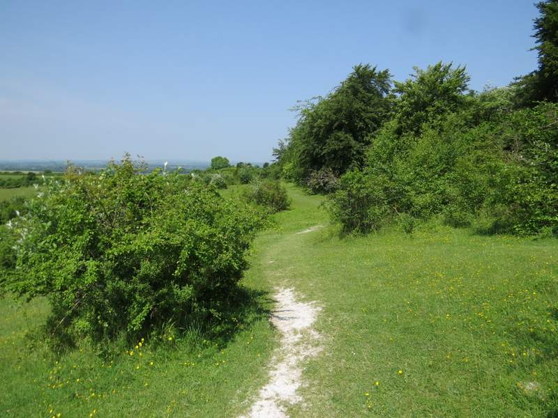
The bridleway along the southwestern side of Pulpit Hill
The bridleway along the southwestern side of Pulpit Hill
The bridleway along the southwestern side of Pulpit Hill
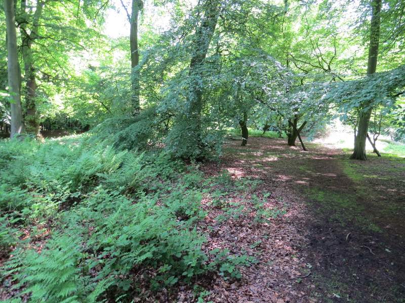
The path just inside the nature reserve, running parallel to the bridleway