Pete's Walks- Sonning Common and Mapledurham (page 3 of 5)
If you are considering walking this route yourself, please see my disclaimer. You may also like to see these notes about the maps and GPX files.
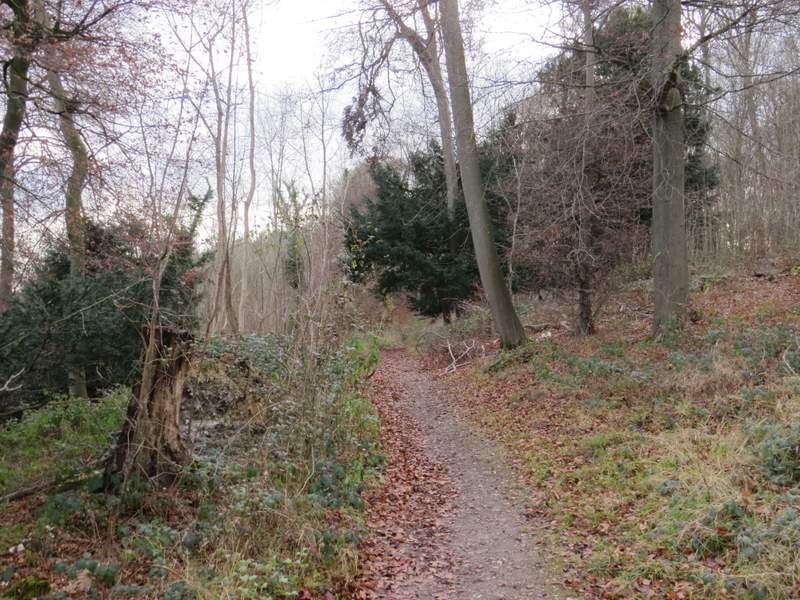
The bridleway continued on through the woodland, soon moving from Thicket Copse into Gutteridge Wood. About half a mile after leaving the lane at Nuney Green I emerged from the woods at a minor road. Across this I continued along a footpath that followed a fence or hedge on my right through a rather rough paddock (this area is named Collinsend Common on the OS map). Over a stile and through a gate, the path continued along the edge of a sheep pasture. I then turned left along a surfaced track that brought me to the hamlet of Collins End (as my surname is Collins, this place name sounds rather ominous to me!).
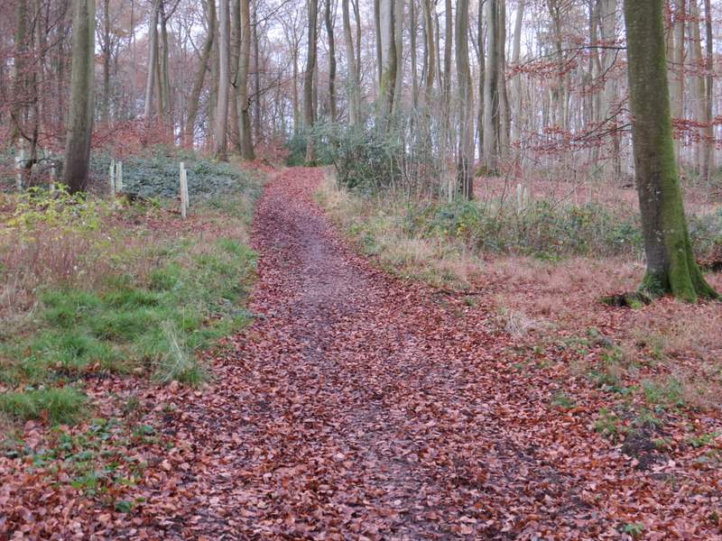
Thicket Copse
The same path, probably now in Gutteridge Wood
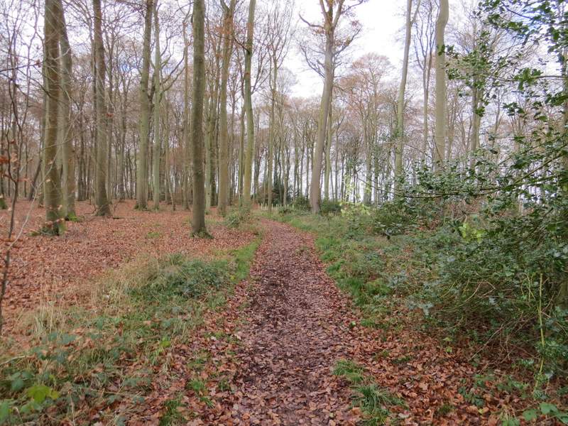
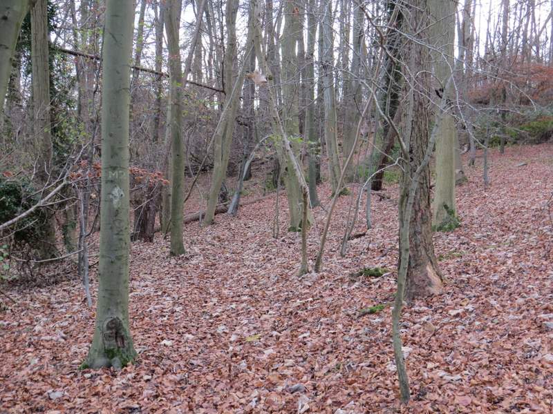
Gutteridge Wood
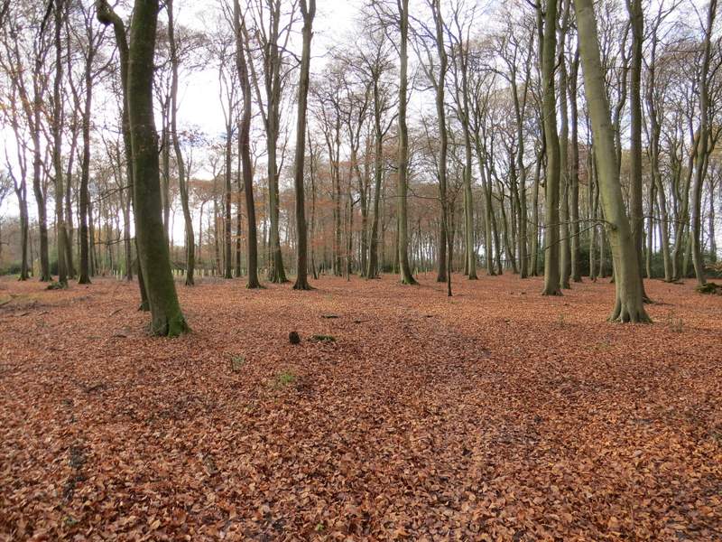
The path after crossing the minor road (it follows the fence/hedge on the right) - this is marked 'Collinsend Common' on the OS map
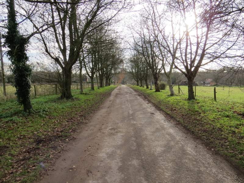
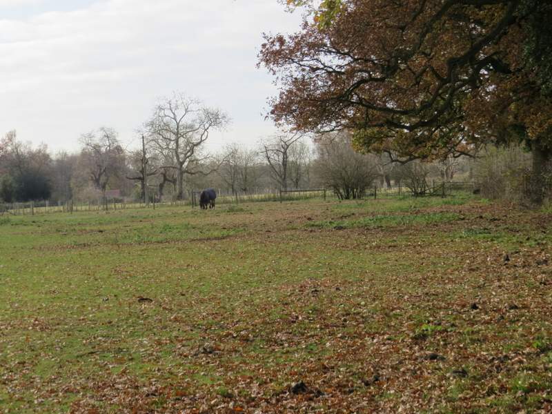
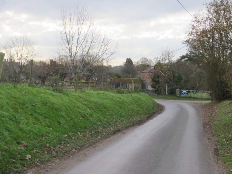
The drive, after I turned left at the end of the path across Collinsend Common, approaching Collins End
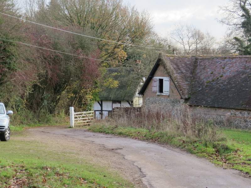
Collins End (the bridleway continues to the right of the thatched cottage)
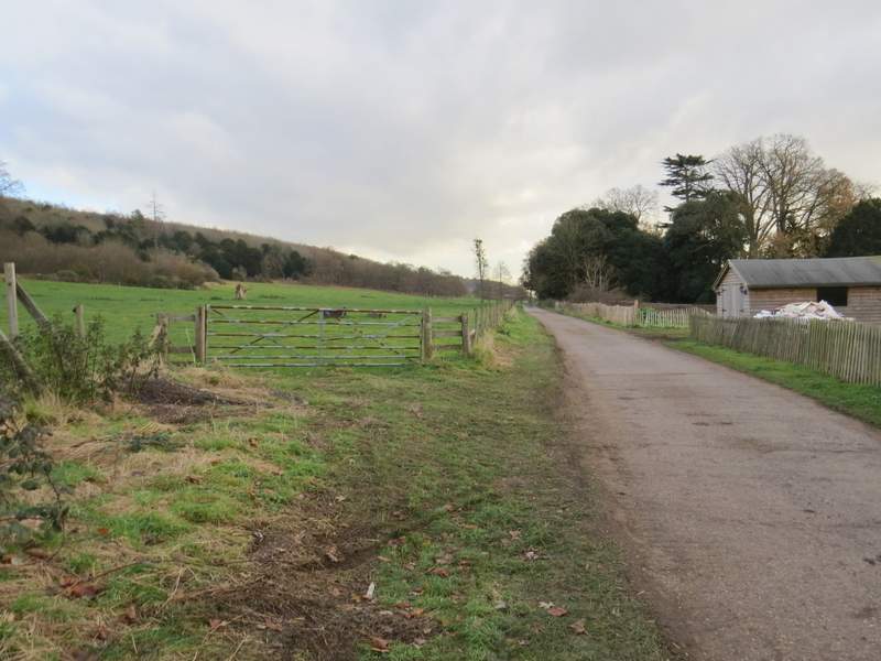
Where the surfaced drive ended, the bridleway continued just right of a thatched cottage (Holly Copse Cottage). The bridleway initially dropped downhill slightly through a wood, then in a valley bottom after a few hundred yards I forked left onto a footpath (NOTE: NOT the obvious track going straight up the other side of the valley, you have to go a few yards left to a waymark post) - I was now following the signs for the Chiltern Way. The path climbed gently up the other side of the valley, now in Bottom Wood. After some distance the wood became Westfordhill Copse, and when the path emerged from it there was a fine view over the Thames Valley towards Purley-on-Thames in Berkshire.
The bridleway from Collins End
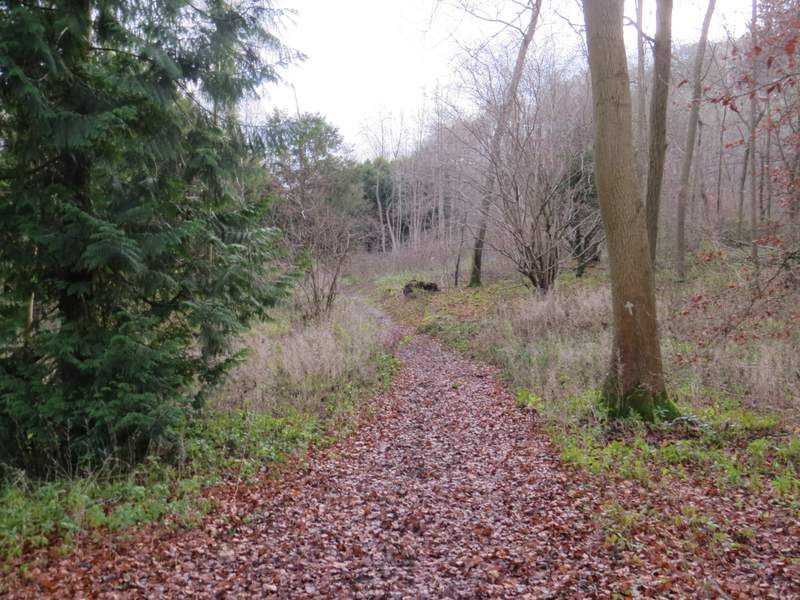
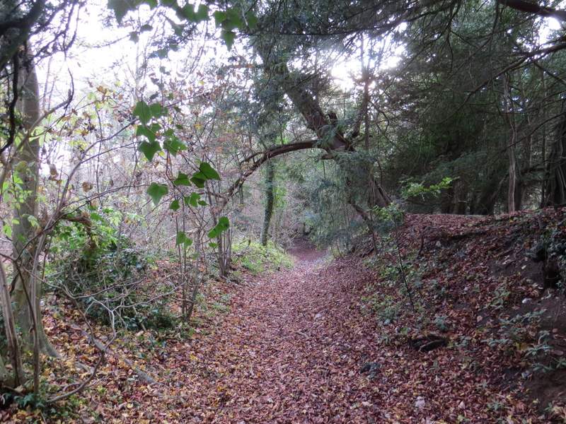
The footpath through Bottom Wood
The footpath through Bottom Wood

The footpath through Bottom Wood
The footpath through Bottom Wood
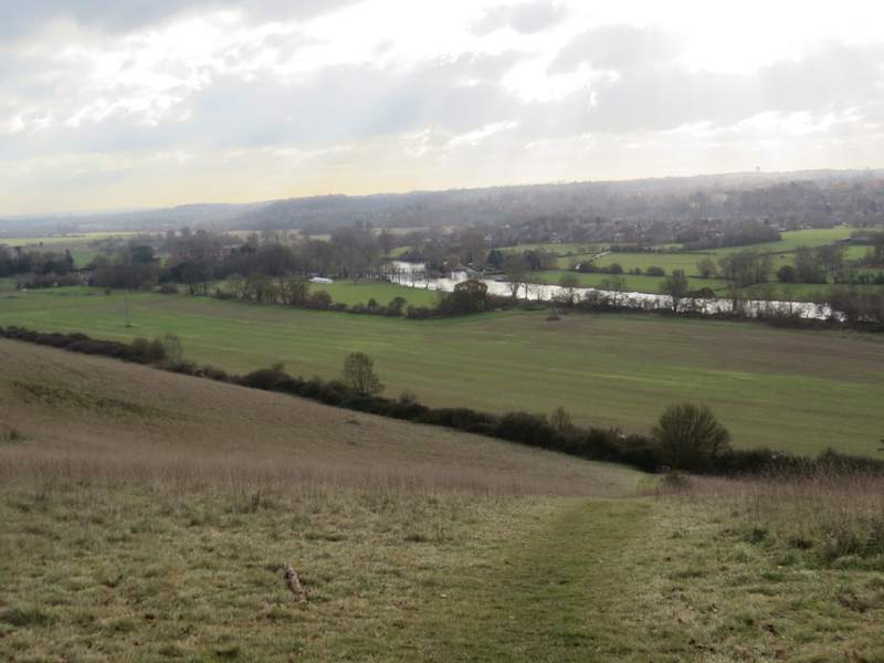
View over the Thames valley, from the edge of Westfordhill Copse (so I'm guessing this must be Westford Hill!). The path is so steep that only the top and bottom of it are visible from here.
The path then dropped steeply downhill to reach a hedge-lined bridleway, where I turned left. After about half a mile the bridleway ended at a lane, where I turned right and soon reached the beautiful small village of Mapledurham - as with when I did the walk last year, I didn't venture into the village as I was worried about finishing the walk before it got dark (I must have miscalculated badly, as it was still light after my 80-minute drive home!). But as I turned left along a bridleway along a concrete farm track, I did at least get to see the grand house and the church over to my right.
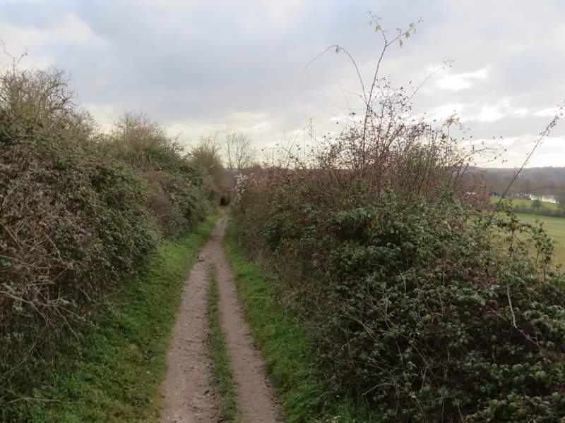
The bridleway heading southeast to Mapledurham
The lane into Mapledurham
The start of the long bridleway along the Thames Valley from Mapledurham
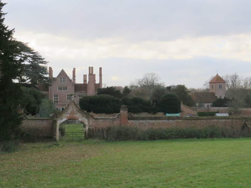
Mapledurham House and Mapledurham church