Pete's Walks- Sonning Common and Mapledurham (page 2 of 5)
If you are considering walking this route yourself, please see my disclaimer. You may also like to see these notes about the maps and GPX files.
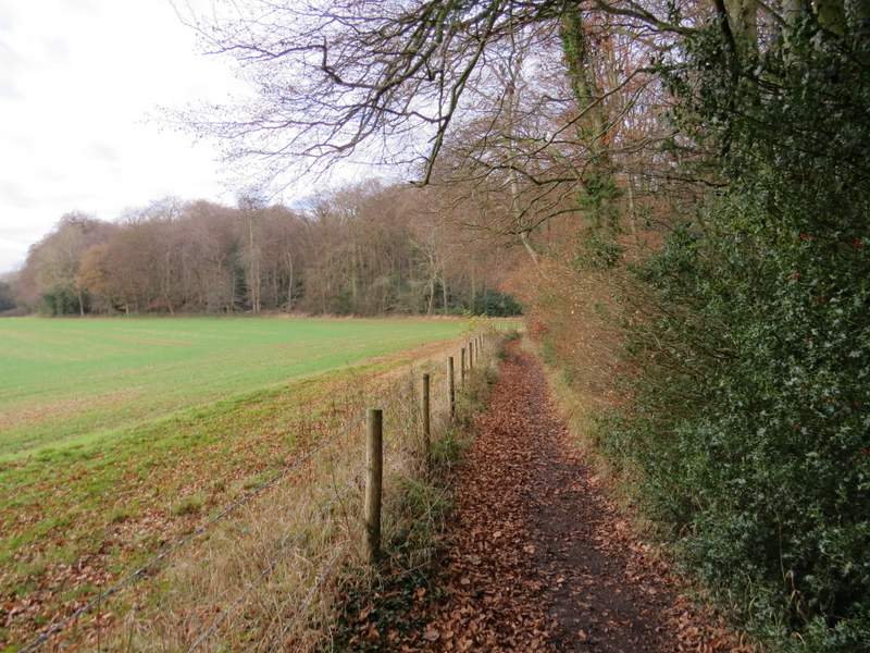
After following the path through the wood for about half a mile, the field close by on my left reached a corner and just a few yards on I turned left onto another footpath. This continued through more woodland for three or four hundred yards to reach a lane. Across this I continued on another footpath, now in a large wood named Withy Copse. The path initially moved very slightly away from the edge of the wood to my right, before heading back towards that edge only to almost immediately turn left to head south, or very slightly southwest, through the wood. It was a good clear path, with sufficient white arrows to make navigation easy.
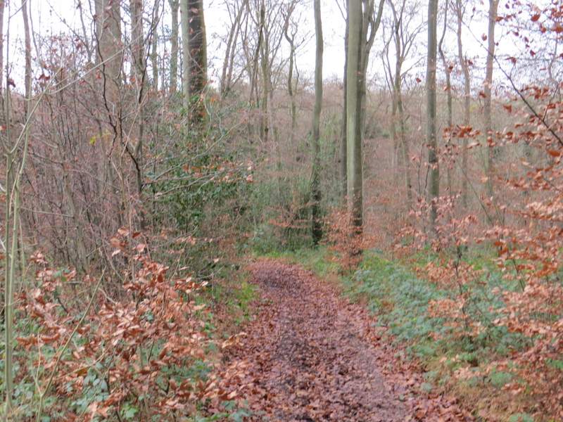
The path going north through New Copse
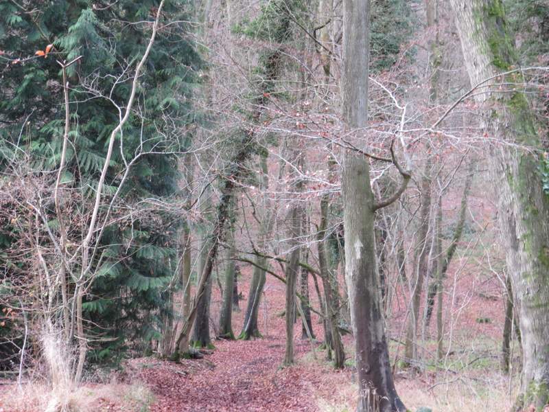
The path after turning left to head west through Wyfold Wood
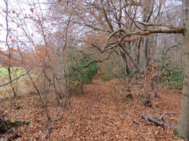
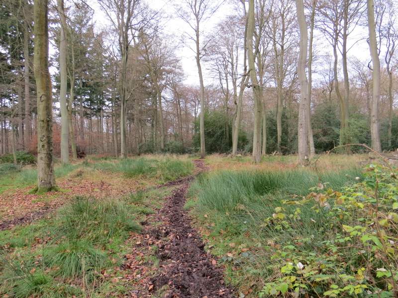
The path through Withy Copse
The path through Withy Copse
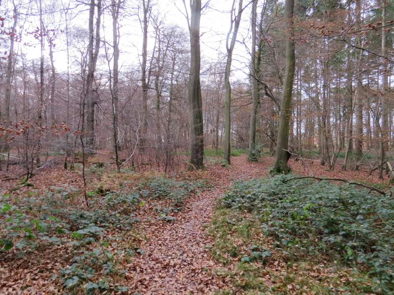
The path through Withy Copse
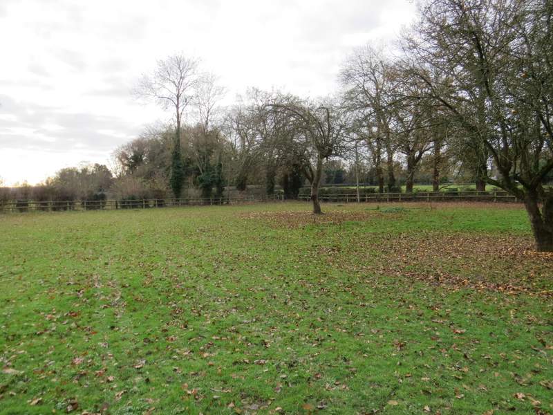
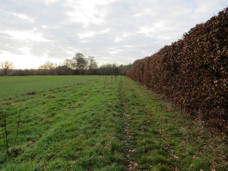
After half a mile or so the path reached the western side of the wood. It continued across a couple of enclosures beside a house and garden (there were a couple of horses in the first, and a few apple trees in the second where I saw a Fieldfare). I then turned left along Park Lane, but not for very far before taking a footpath on the right (it started just behind a large tree in the hedgerow next to the lane). The path followed a hedge on my left through an empty pasture. A few yards before reaching the next field corner, the path went over a stile in the hedge and continued down a drive on the other side of the hedge to reach a road in the hamlet of Cane End. I followed the road carefully to the left, crossing over the end of Park Lane, and then took a bridleway on the other side of the road. This went half-left through a small plantation, then crossed a narrow section of a paddock, before following a beech hedge on my right, with a fairly pleasant view over countryside to my left. Further on the bridleway bore slightly right and soon passed briefly through part of a wood called Walk Shaw. On the other side of the wood, I went right at a bridleway junction, the bridleway continuing between Walk Shaw and a fence on my left.
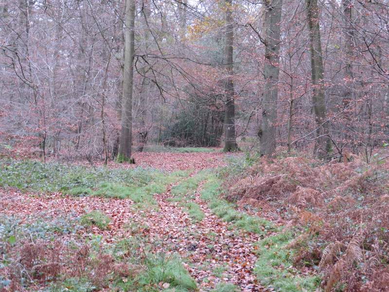
The path continuing from Withy Copse
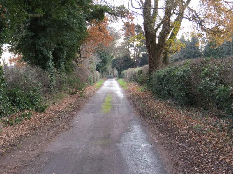
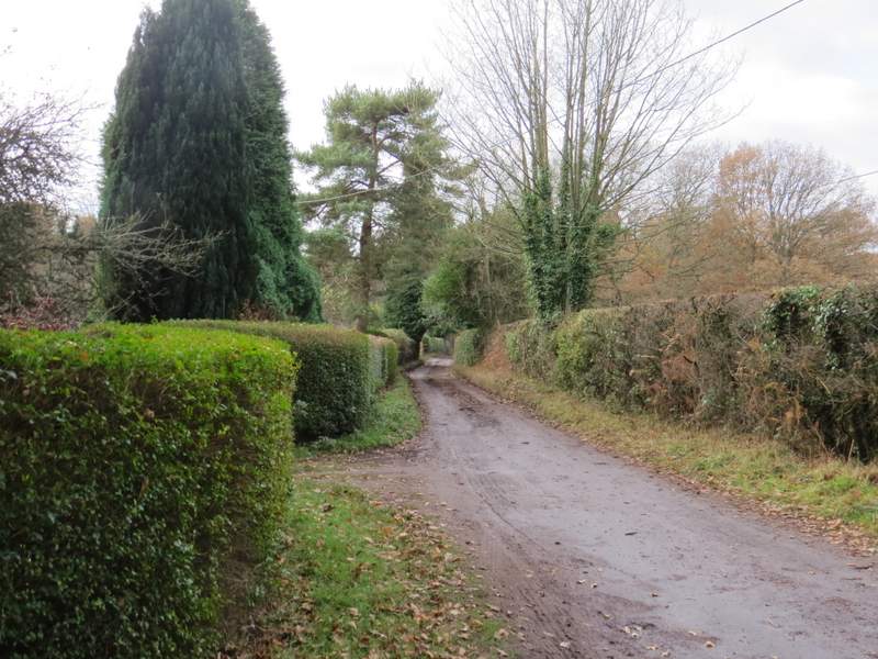
Park Lane (I turned right just after the tree in the hedge)
The start of the bridleway from Cane End
The bridleway from Cane End
The bridleway approaching Walk Shaw
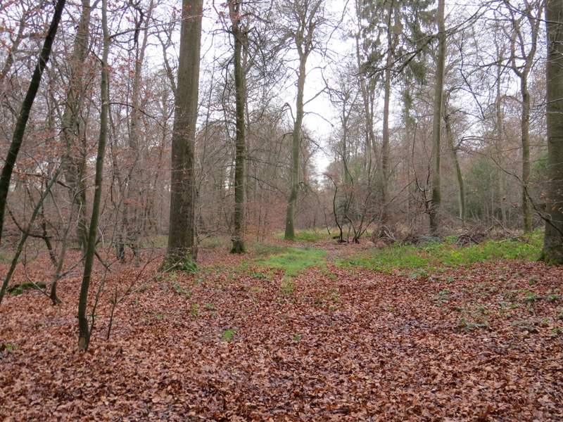
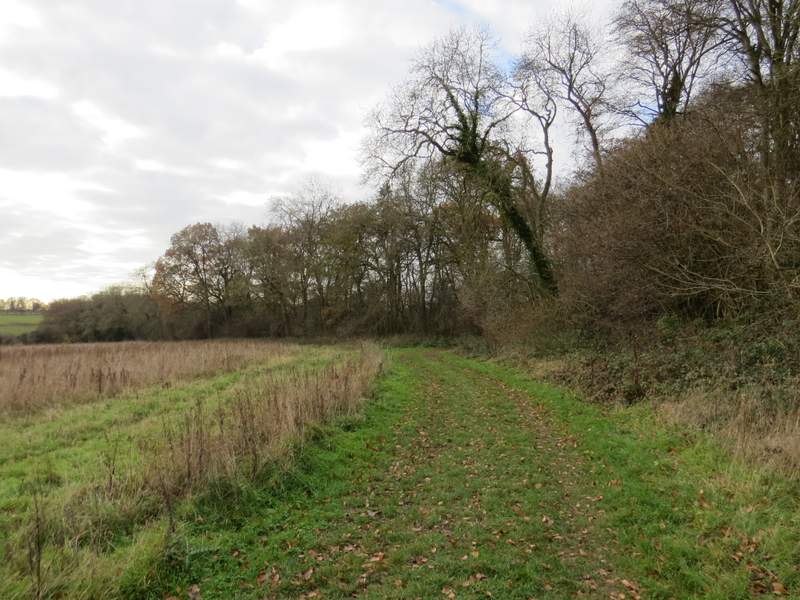
The bridleway approaching Nuney Wood
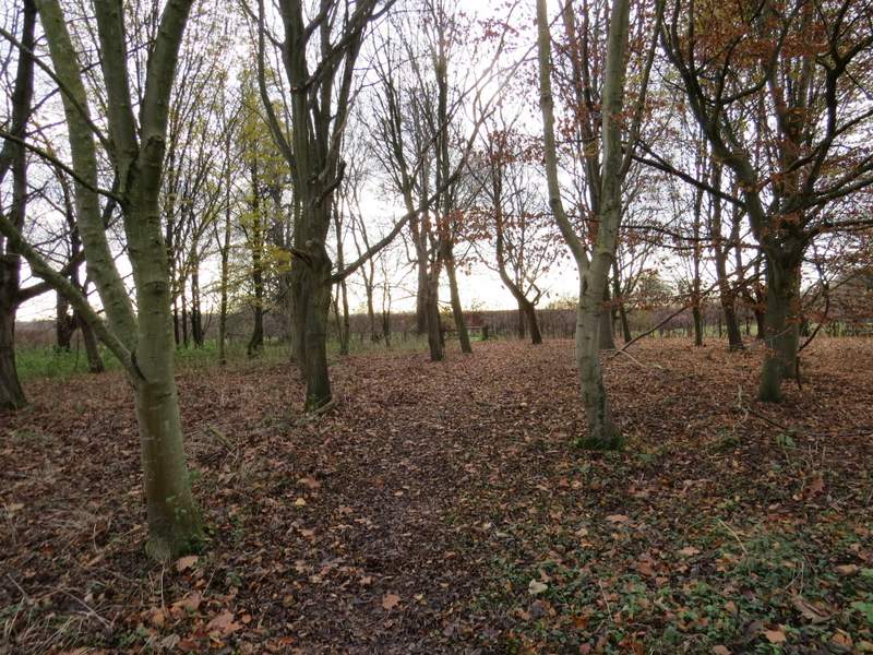
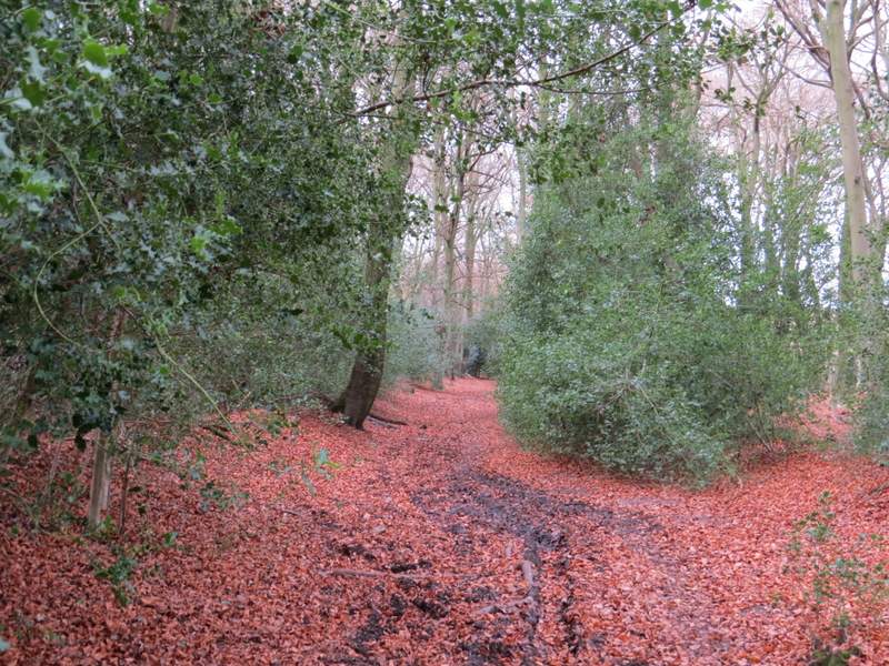
Beyond a large arable field on my left, the path continued through another wood, Nuney Wood. It stayed quite close to an edge of the wood on my right, before turning half-left and soon emerging in the hamlet of Nuney Green. Here I went straight on down a lane. Where this turned slightly left, I took a bridleway that started through the wood to my right, Nuney Copse. When I did this walk last October I went wrong somewhere here and one reason for coming back was to see where I'd made my mistake. In fact at the first path crossroads I came to I saw a faint white arrow pointing left, and immediately knew this was where I'd gone wrong - I know I looked to see if I should turn left here last time, so I can only think that the white arrow was then hidden by leaves (there were one or two low branches just in front of it). Anyway I turned left and followed the bridleway downhill into a slight valley and then up the other side (somewhere here I entered Thicket Copse).
Nuney Wood
The lane through Nuney
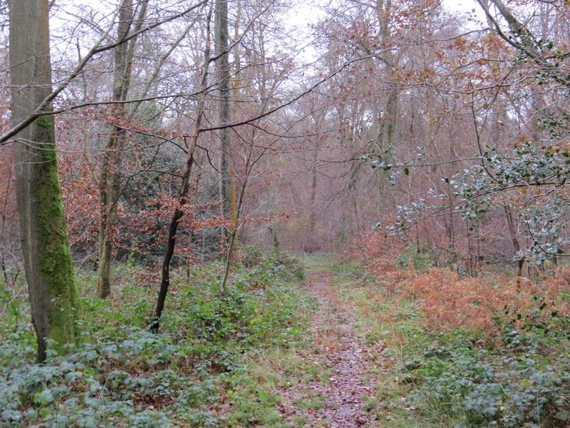
The start of the bridleway through Nuney Copse
Just after I turned left in Nuney Copse
The same path, probably now in Thicket Copse