Pete's Walks - Chalfont St Peter and Chenies (page 1 of 3)
If you are considering walking this route yourself, please see my disclaimer. You may also like to see these notes about the maps and GPX files.
I did this walk of about 6.5 miles on Sunday, 17th September 2017. It was about 12.35pm as I started walking from the centre of Chalfont St Peter (grid reference TQ001908), heading off down Church Lane. At the end of this street, I continued down a path with some allotments to my right (I made a mistake here, initially following the footpath sign which pointed along a path through the middle of the allotments). The path continued beyond the allotments, and after a while it reached a sports field where an Under-11's football game had reached half-time (I know it was an Under-11's game because I heard one of the coaches saying 'You're in the Under-11's team now' as part of his half-time team talk). I walked straight on to a projecting hedge corner, then followed the hedge on my left for a few yards to a corner of the playing field, where the path continued through bushes. It soon passed some tennis courts on my right, then came to path junction where I turned left.
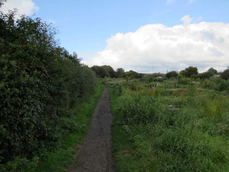
The path past the allotments, from the end of Church Lane, Chalfont St Peter
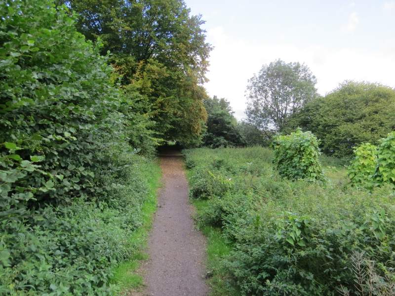
Further along the path
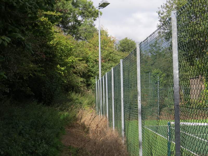
The path continuing past the tennis courts
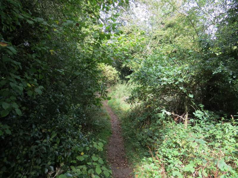
A little further along the path
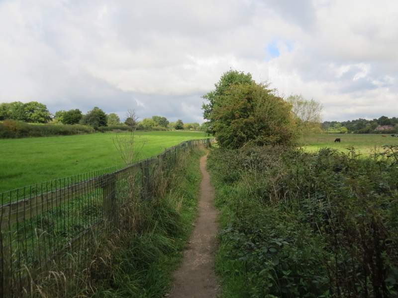
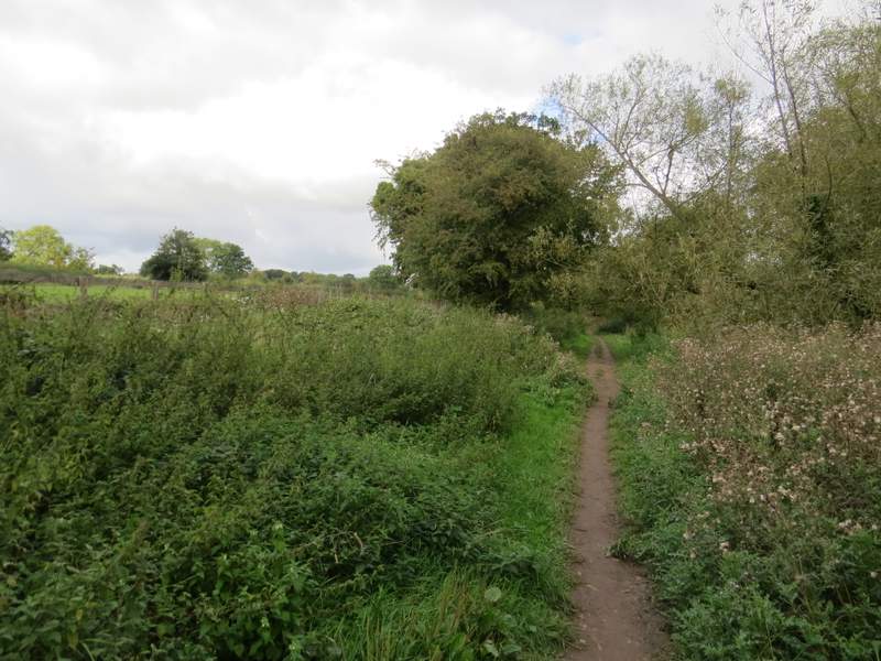
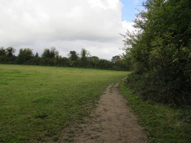
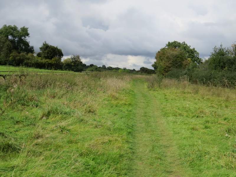
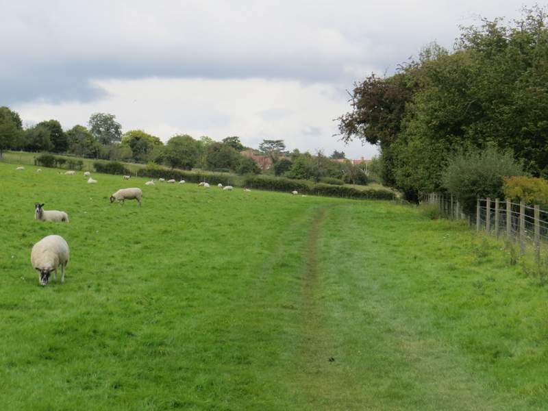
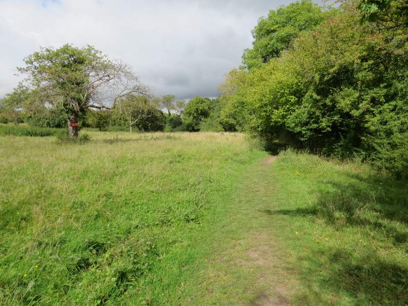
Within a few yards the path went through a gate, and now started a very pleasant section along the Misbourne valley. The path ran for two or three hundred yards between a fence on my left and a hedge on my right, the latter of which I'd follow the mile or so to Chalfont St Giles. The path next went through a couple of meadows, then ran for several hundred yards along a broad band of rough grass - for part of the way there was an artifial horse gallop just over the fence to my left. The path then went through a large sheep pasture (complete with sheep), the hedgerow to my right being somewhat intermittent here. Further on the path was in an old orchard, there being numerous fruit trees to my left.
The path continuing through the Misbourne Valley, towards Chalfont St Giles
The path continuing through the Misbourne Valley, towards Chalfont St Giles
The path continuing through the Misbourne Valley, towards Chalfont St Giles
The path continuing through the Misbourne Valley, towards Chalfont St Giles
The path continuing through the Misbourne Valley, towards Chalfont St Giles
The path continuing through the Misbourne Valley, towards Chalfont St Giles
The path continuing through the Misbourne Valley, towards Chalfont St Giles
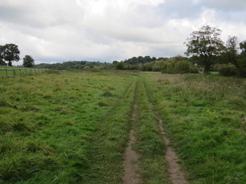
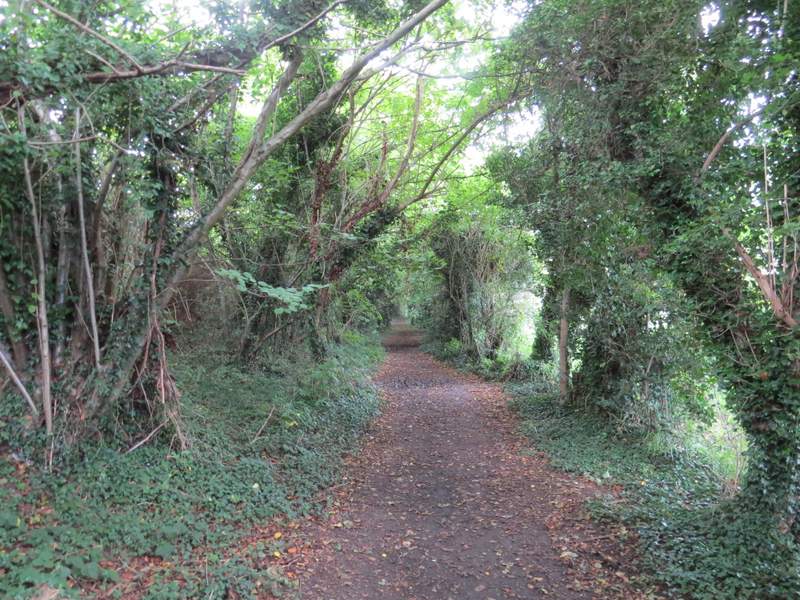
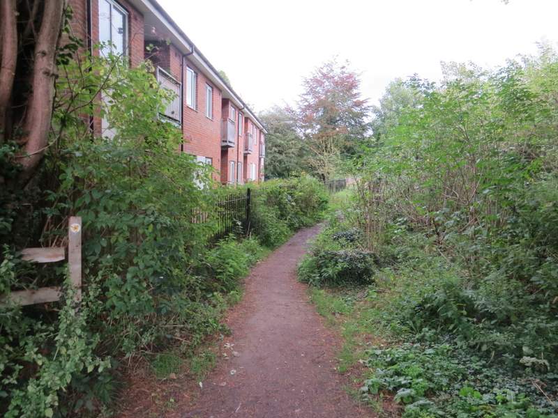
Beyond the orchard the path ran between tall old hedgerows for a couple of hundred yards, then I turned right to follow some railings on my left, marking the boundary of a block of flats. Beyond these I came to path junction - the Chiltern Heritage Trail goes right here, but I chose to initially go left, passing Chalfont St Giles church on my right and reaching the village centre through an archway. Here I went a short way right to sit on a seat on the green to eat my packed lunch. It had been pleasantly sunny as I'd been walking up the valley, but I'd noticed a very dark cloud just as I was nearing Chalfont St Giles and I now felt one or two spots of rain as I munched contentedly away on my Brie and Cranberry sandwiches.
The path continuing through the Misbourne Valley, near Chalfont St Giles
Near the end of the path, in Chalfont St Giles
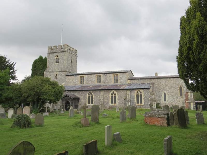
Chalfont St Giles church
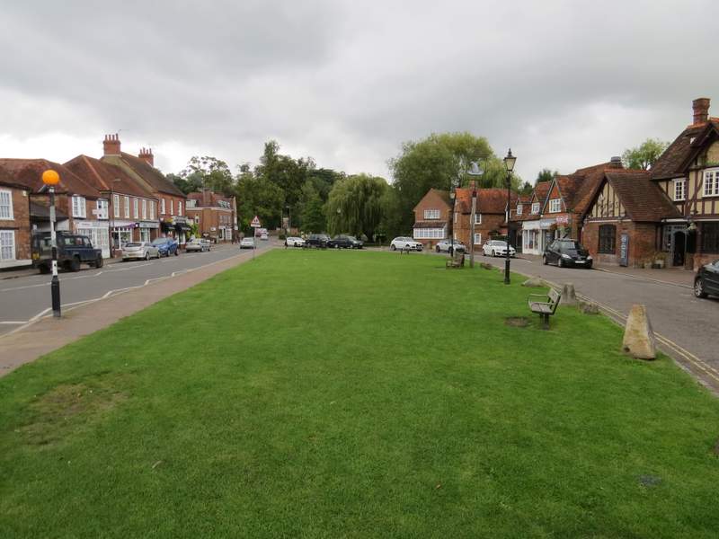
Chalfont St Giles