Pete's Walks - Chalfont St Peter and Chenies (page 2 of 3)
If you are considering walking this route yourself, please see my disclaimer. You may also like to see these notes about the maps and GPX files.
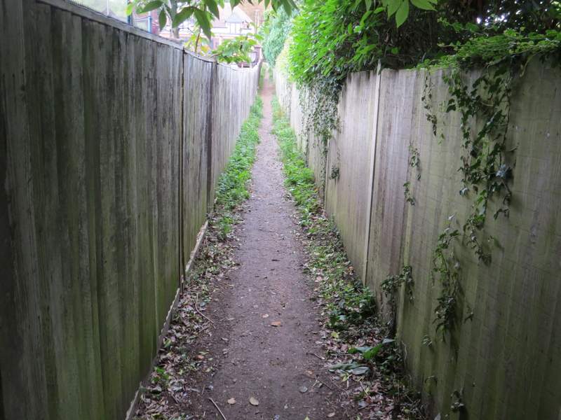
Lunch over, I retraced my steps to the junction where I'd turned right, now going straight on over a small footbridge and following a fence on my left across what I can best describe as a rather overgrown water meadow. Beyond this, the path continued between garden fences to reach the A413, the main road that runs along the Misbourne valley. Across this a path continued between garden fences and hedges for several hundred yards. When I cam to a path junction, I went slightly left. Within a few yards I reached a meadow, where I stopped to put on my rain jacket as it was now starting to rain. I then continued across the meadow, and then through a kissing gate and on across a second meadow. Beyond this I turned right at a path junction and soon reached a minor road.
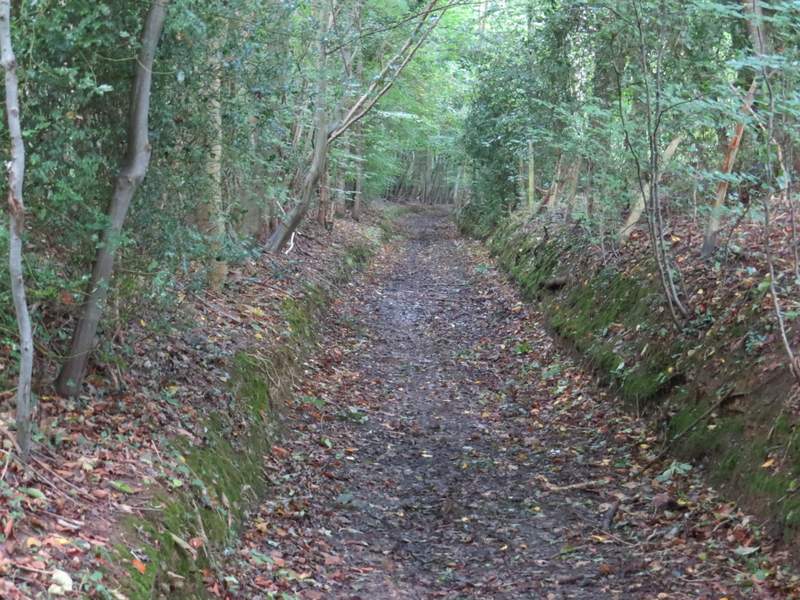
The path from Chalfont St Giles
The same path, approaching the main road
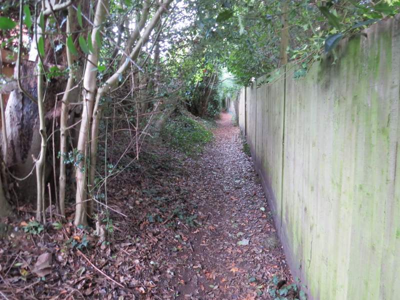
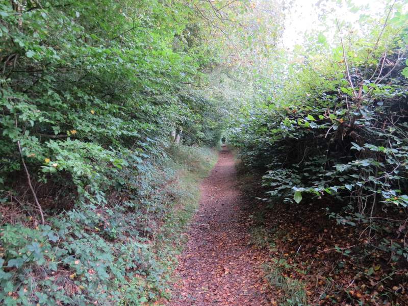
Near the start of the path on the other side of the main road
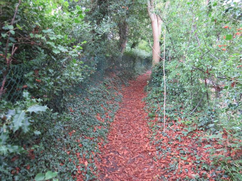
Further along the same path
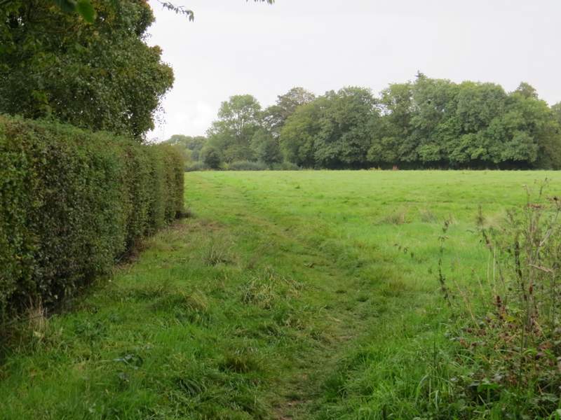
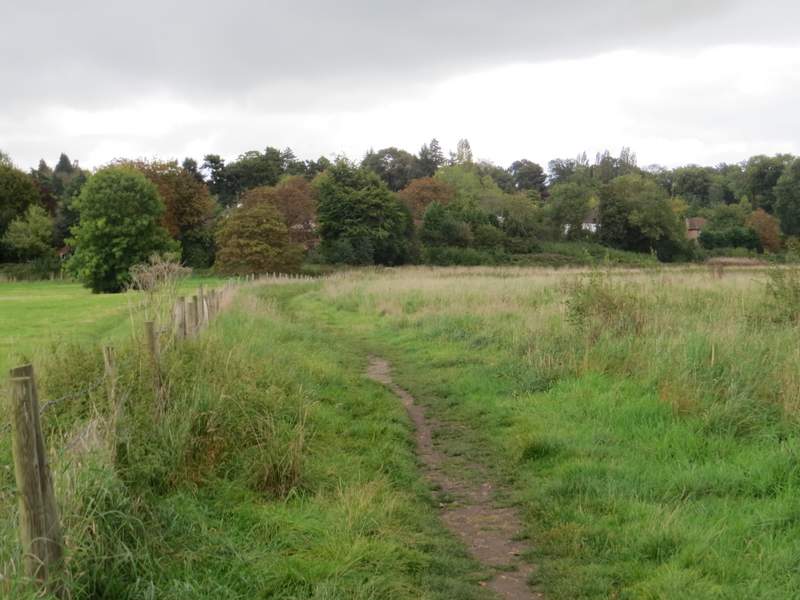
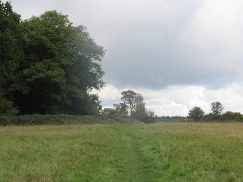
The path, after I took a left fork, entering the first of two meadows
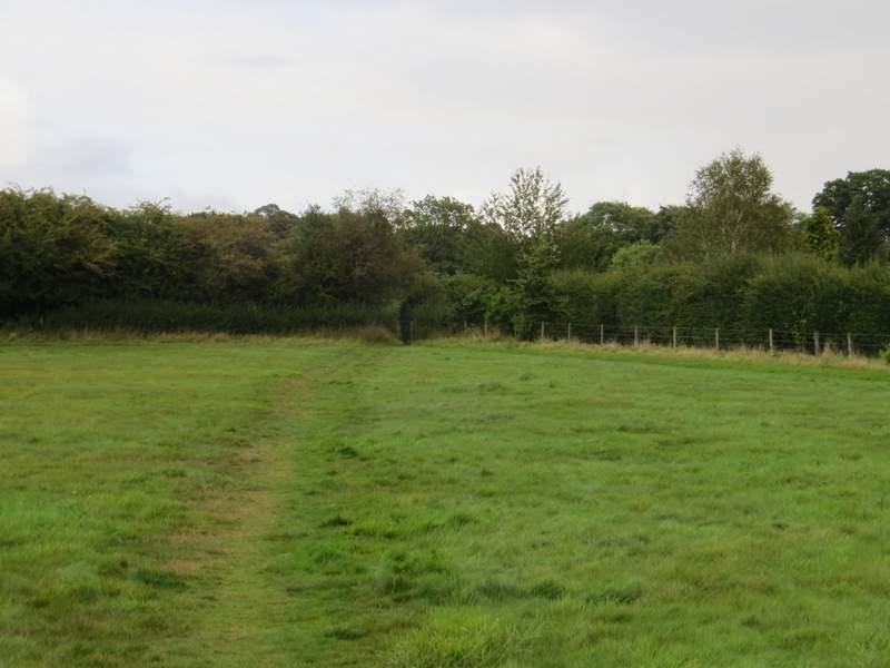
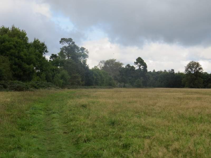
The second meadow
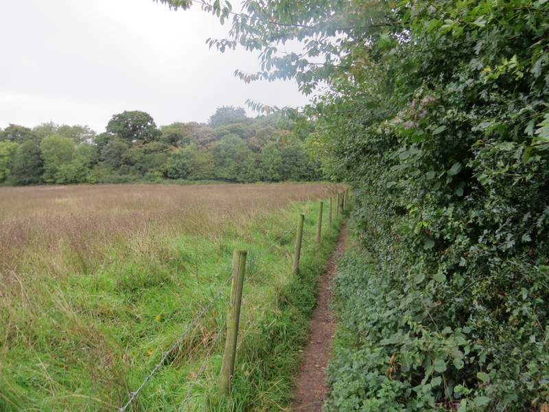
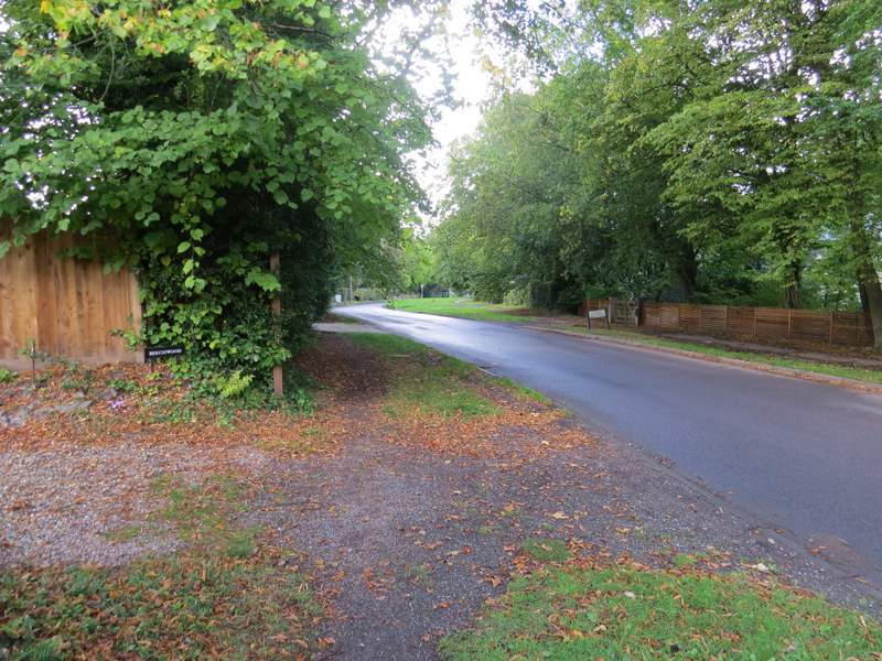
The path after I turned right
Across the road I continued down a bridleway running through a tree belt, this being part of the former drive to Newland Park. At its end I crossed another minor road, went a few yards along a drive (to the Chiltern Open Air Museum, amongst other things), then took a path going left. This ran along the left edge of a huge meadow for several hundred yards, where I spotted at least three Jays in the trees to my left. The path then continued through Phillipshill Wood, following a fence on my right that after a while curved right. The brief bit of rain had more or less stopped now.
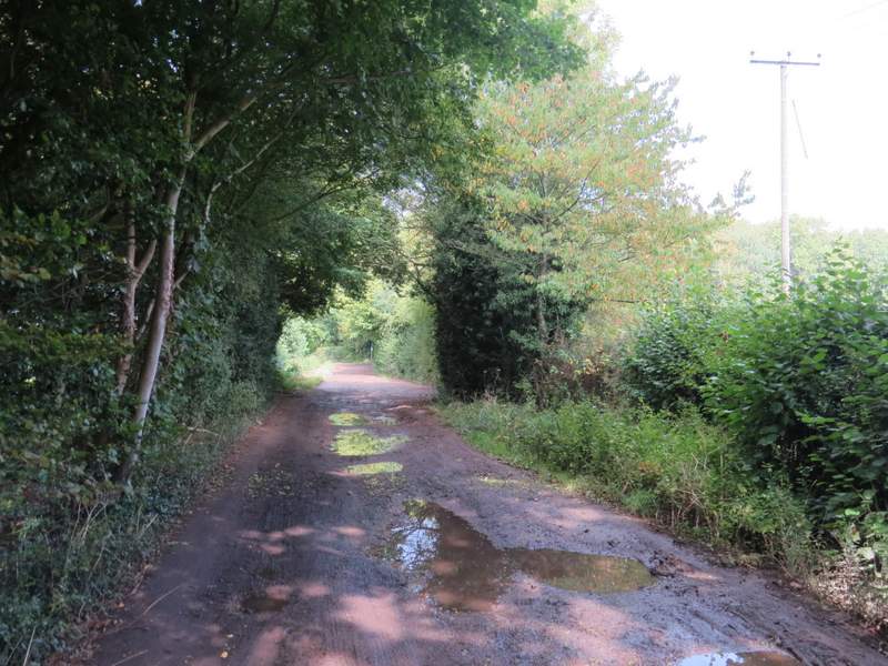
The old drive to Newland Park
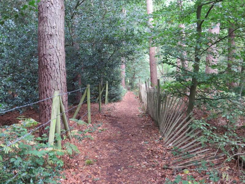
The path near the Chiltern Open Air Musuem
The path near the Chiltern Open Air Musuem, heading towards Phillipshill Wood
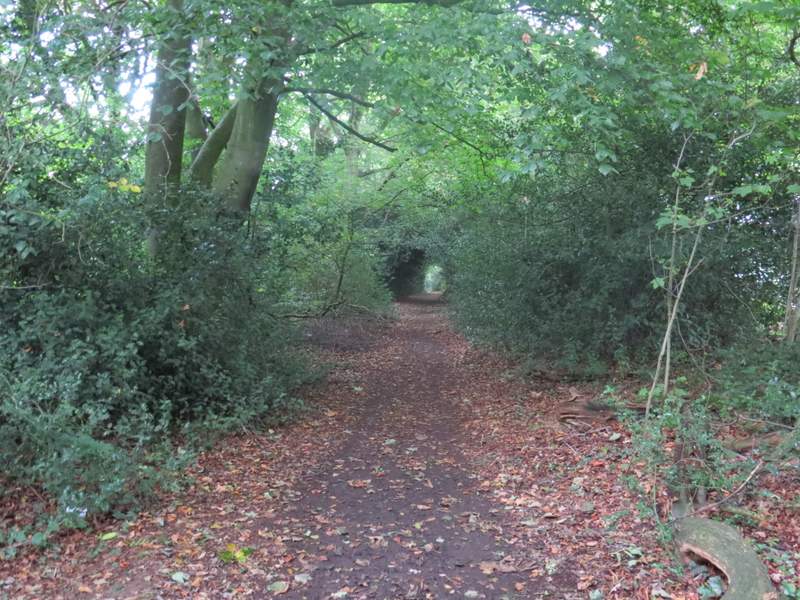
The path continuing through Phillipshill Wood
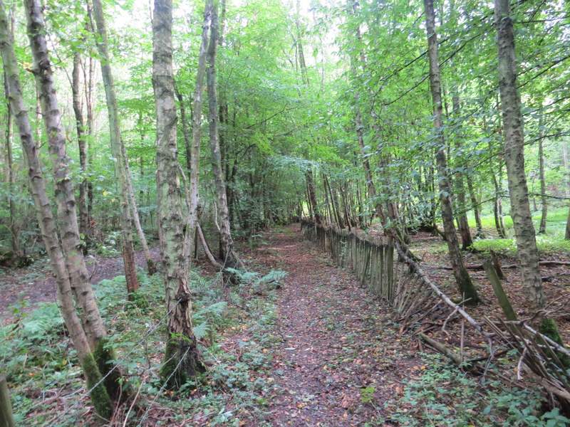
The path continuing through Phillipshill Wood
The path ended on a bend of a bridleway, where I turned left and followed the bridleway gently uphill, with Phillipshill Wood now on my left. After several hundred yards, where the wood ended, the bridleway became Old Shire Lane, which after almost half a mile (it seemed shorter than that) brought me to a road junction in Chorleywood West. Here I went straight on down Shire Lane for about a hundred yards, before turning left into Chalfont Lane.
The bridleway along the edge of Phillipshill Wood
The bridleway along the edge of Phillipshill Wood

The bridleway along the edge of Phillipshill Wood
The bridleway along the edge of Phillipshill Wood
Old Shire Lane
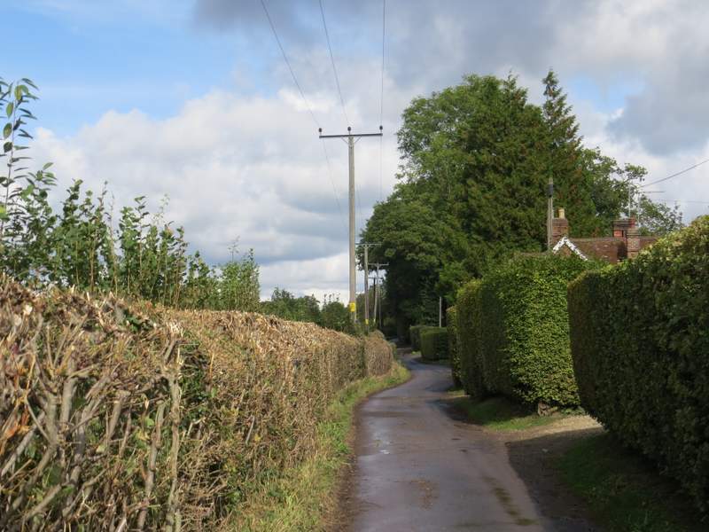
The start of Chalfont Lane, Chorleywood West