Pete's Walks- Stoke Row, Checkendon, Woodhouse Farm (page 1 of 6)
If you are considering walking this route yourself, please see my disclaimer. You may also like to see these notes about the maps and GPX files.
Google map of the walkDownload GPX file of the walk
I did this circular walk of about 14.3 miles on Saturday, February 18th, 2017. It was a repeat of a walk I did in April 2016, but in the opposite direction (clockwise). There would be some parts of this walk that I would be walking in this direction for the first time.
I parked along the road through Stoke Row, close to the Maharajah's Well (grid reference SU 679841). It was grey and slightly murky as I set off, but I was lucky as I I'd driven through thick fog near Stokenchurch and at Christmas Common on my way here. With the Well on my right, I walked a short way along the road, then turned left into School Lane. After a couple of hundred yards or so I turned left along an alley, which started between gardens, passed a small field on the right and then entered a wood. On reaching Busgrove Lane I crossed over and continued through the wood on the other side. After a few hundred yards I went half right at a waymarked path junction and soon came to another junction where I turned right onto a bridleway, now in Busgrove Wood. On leaving the wood the path continued along a track between fences and hedge for a few hundred yards to reach Neal's Lane.
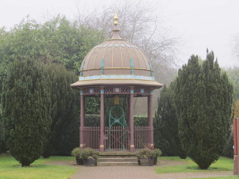
The Maharajah's Well at Stoke Row - there is some information about its interesting history here
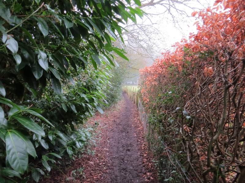
The path going left from School Lane, Stoke Row
The path going left from School Lane, Stoke Row
The path going left from School Lane, Stoke Row
The path continuing the other side of Busgrove Lane
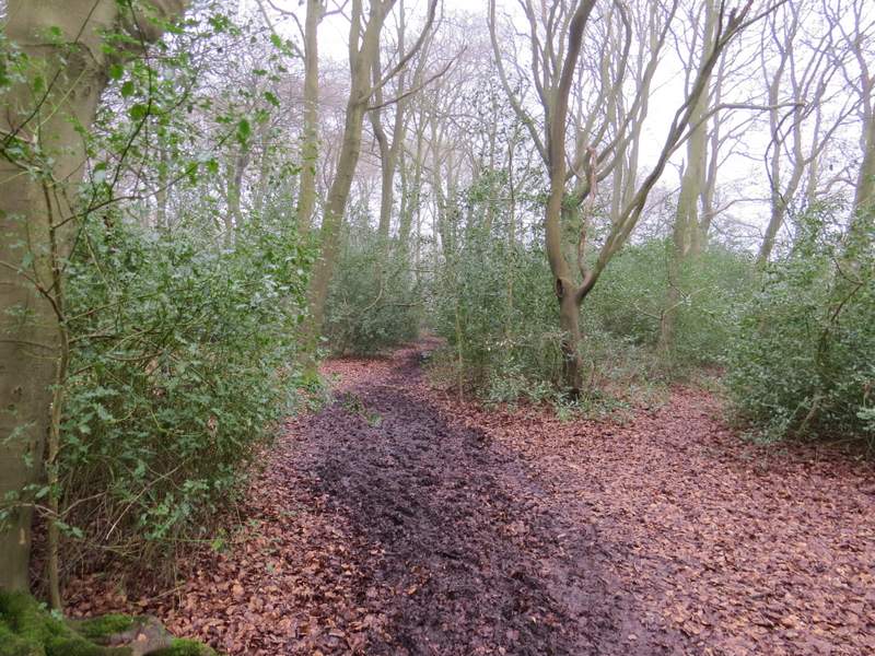
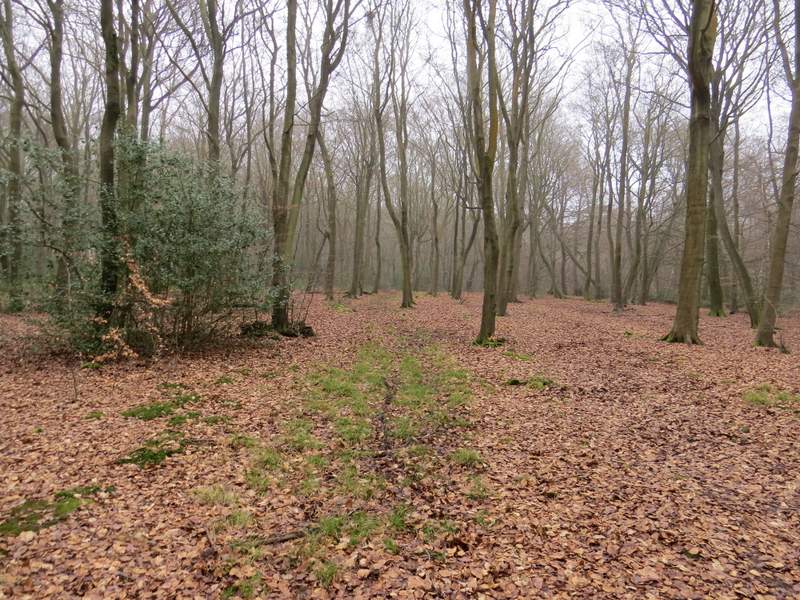
The path after I turned right, now in Busgrove Wood
The bridleway after I turned right in Busgrove Wood
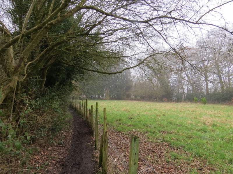
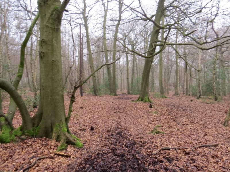
The bridleway continuing from Busgrove Wood towards Neal's Lane
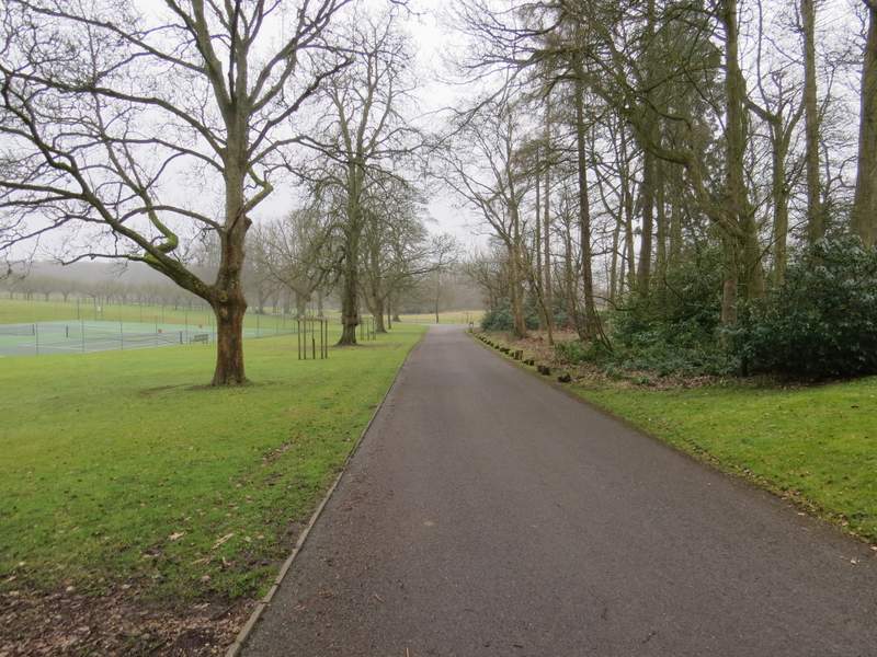
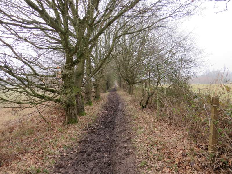
I crossed Neal's Lane and went straight on. After two or three hundred yards I forked left onto a bridleway that ran through a wood (much Rhododendron and Holly) and continued along a drive in the grounds of Wyfold Court (a grand Victorian pile, now split into apartments). At its end I turned left along the entrance drive, with a line of trees either side.
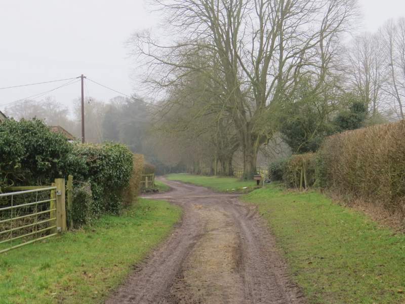
The bridleway about to reach Neal's Lane (a footpath continues the other side)
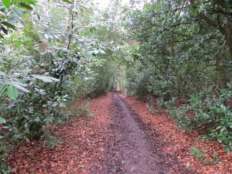
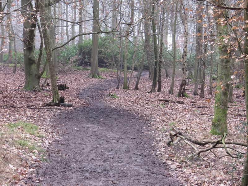
The bridleway through the wood, heading towards Wyfold Court
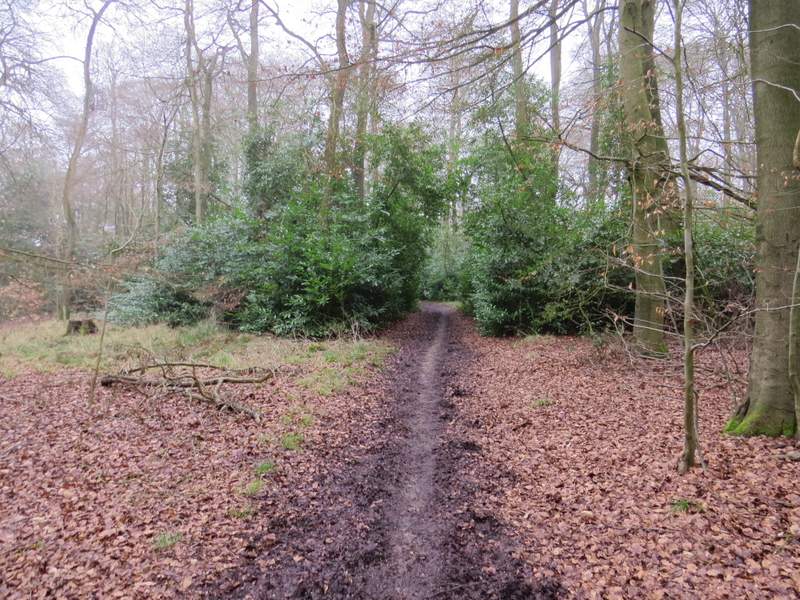
The bridleway through the wood, heading towards Wyfold Court
The bridleway continuing through the grounds of Wyfold Court
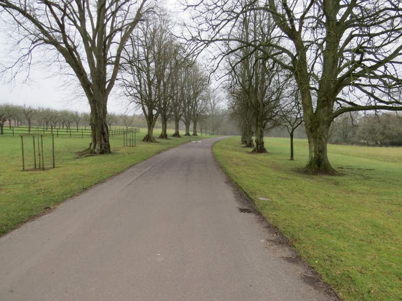
The main drive at Wyfold Court
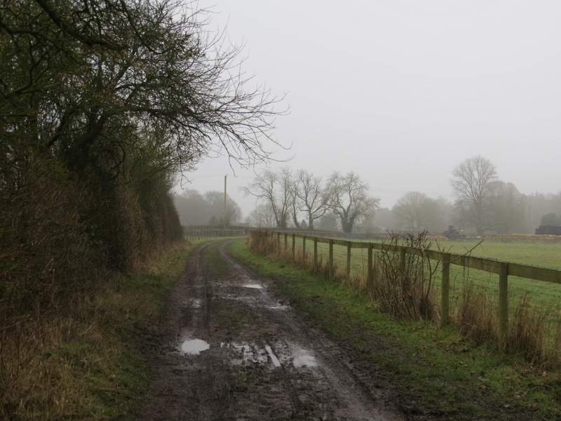
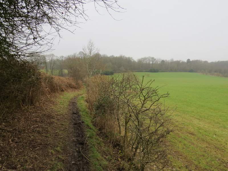
Just past where the lines of trees ended I turned right onto a bridleway, which headed southwest along the edge of the grounds of Wyfold Court. For most of the three-quarters of a mile I followed the bridleway there were hedges either side.
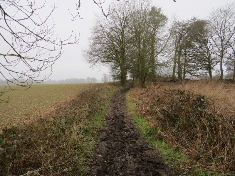
The bridleway along the edge of the grounds of Wyfold Court
The bridleway along the edge of the grounds of Wyfold Court
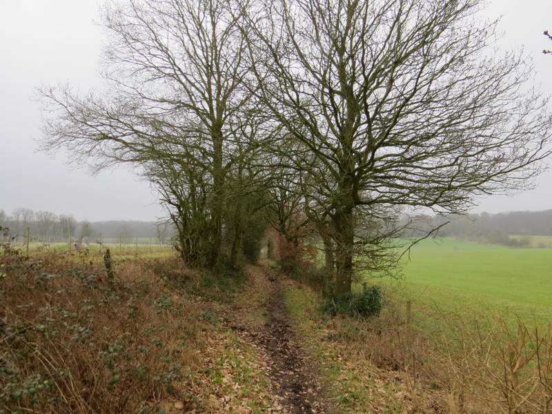
The bridleway along the edge of the grounds of Wyfold Court
The bridleway along the edge of the grounds of Wyfold Court