Pete's Walks- Stoke Row, Checkendon, Woodhouse Farm (page 3 of 6)
If you are considering walking this route yourself, please see my disclaimer. You may also like to see these notes about the maps and GPX files.
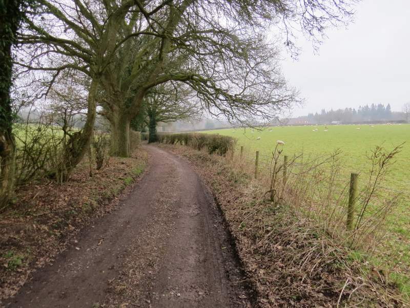
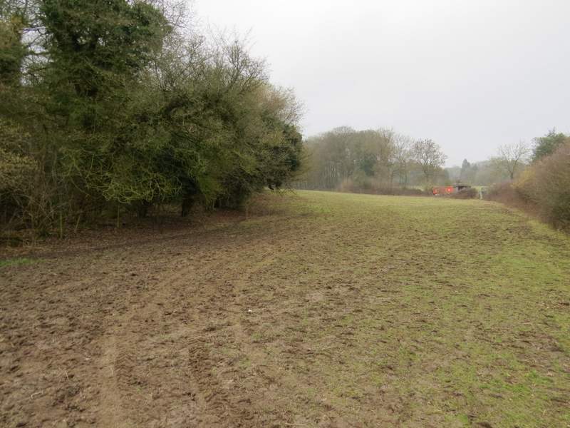
I followed this lane for a short distance until a bridleway (named Judges Road on the OS map) forked left. It took me through Ipsden Wood for about half a mile, before continuing as a track or drive between hedgerows.
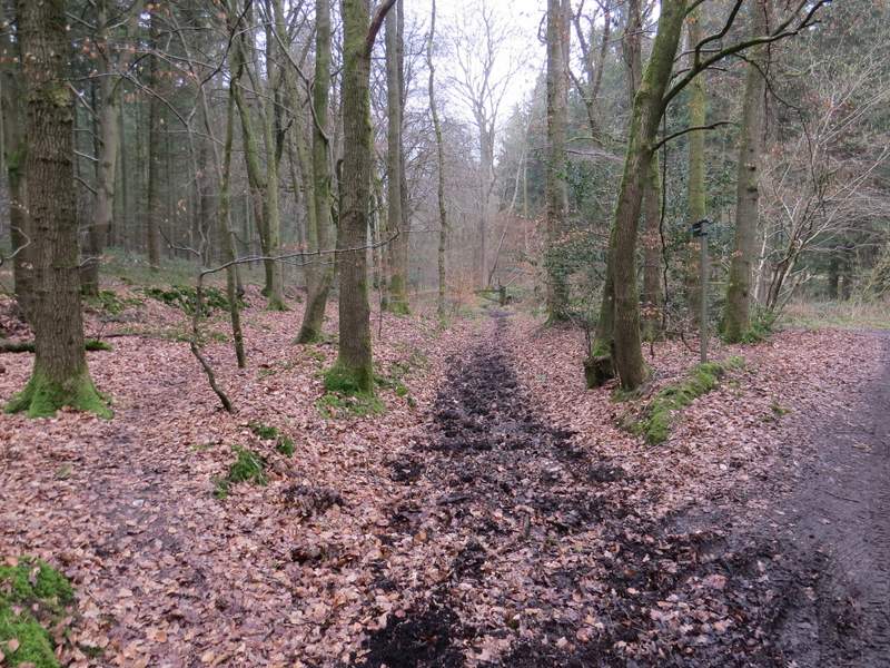
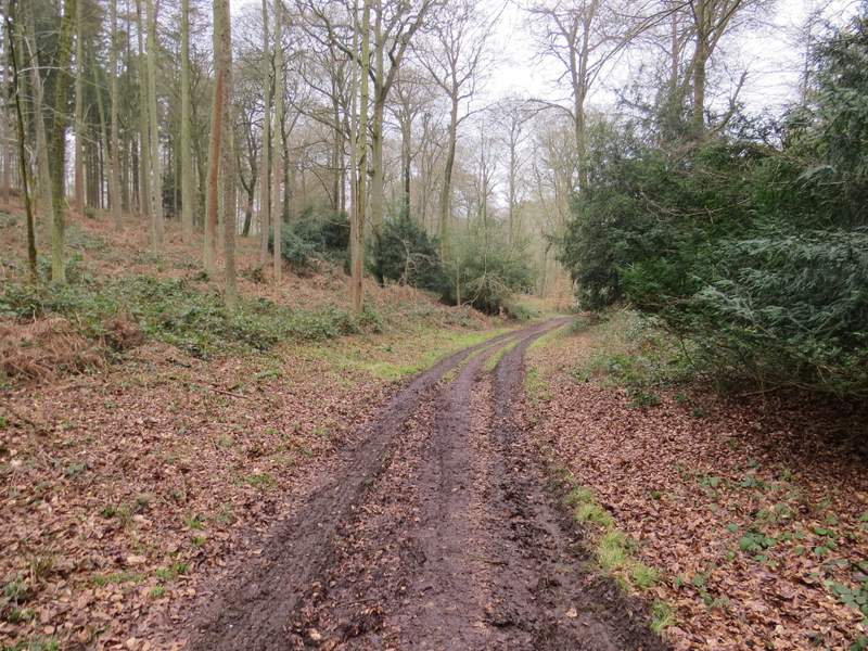
The start of Judges Road
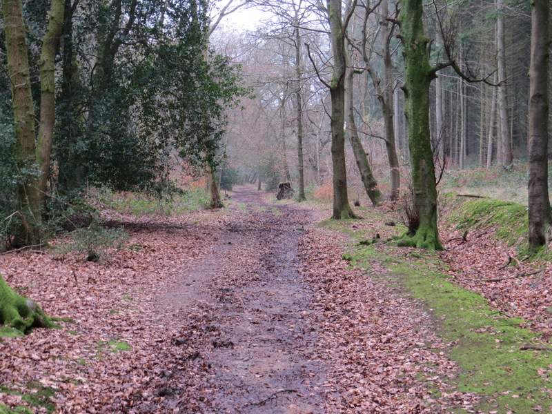
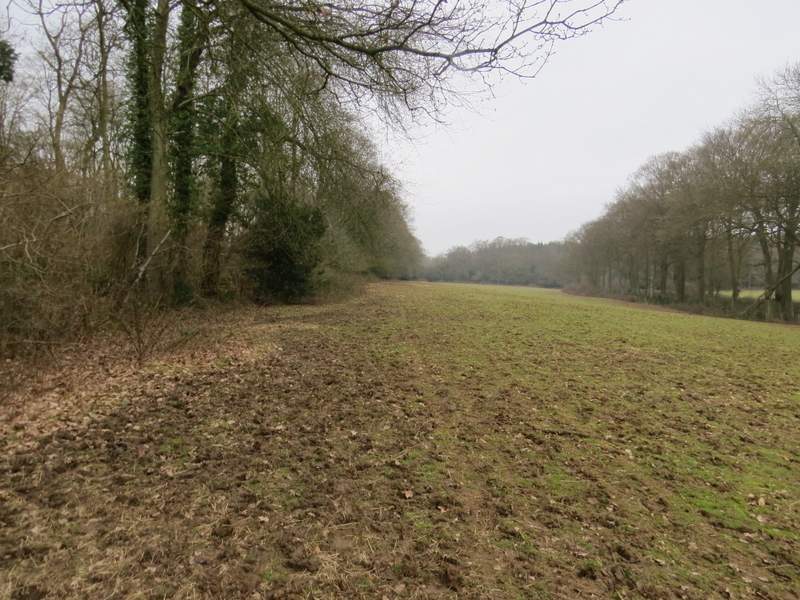
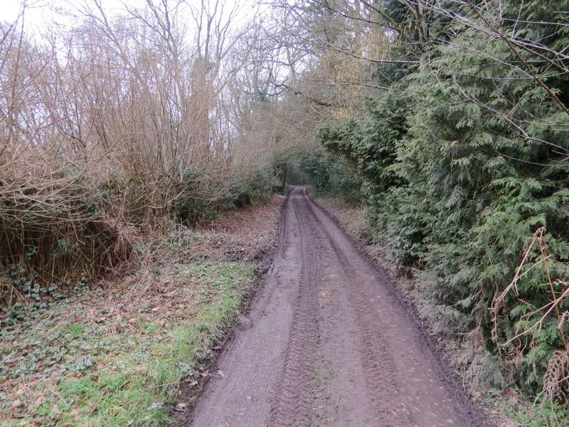
Judges Road
Judges Road
Judges Road
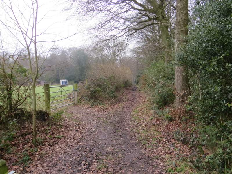
When Judges Road ended at a road junction, I took a footpath starting at a gate. This followed the left edge of a large paddock. As I got to the end of this paddock there were about half a dozen horses feeding on bales of straw and one of the horses followed me for a few yards until I stopped to stroke its muzzle. I went over a stile in the corner, continued a few yards beside a hedge on my left, went through an open gateway and continued down a track that soon passed a cottage on my right. The path ended by Scot's Farm, where I crossed a lane and continued straight on down another footpath, passing some cottages on my left.
The path from the junction at the end of Judges Road
The path from the junction at the end of Judges Road
The path from the junction at the end of Judges Road
The path from Scot's Farm
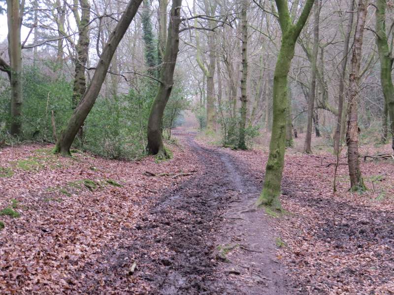
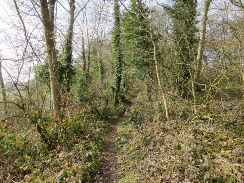
This path then took me back into yet another wood, this one called The Covert. I normally turn sharply left at a junction after a few hundred yards but today I went straight on, the path soon dropping down into small a valley where I turned left at a path crossroads. This path followed the valley bottom through the woods for about half a mile
The path from Scot's Farm (now in The Covert)
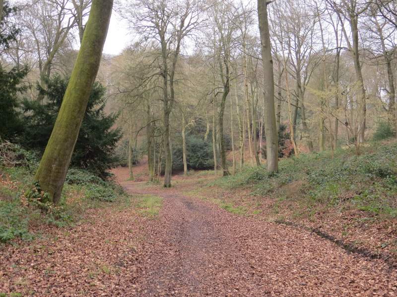
The path from Scot's Farm (now in The Covert) - I turned left at the path crossroads in the valley bottom

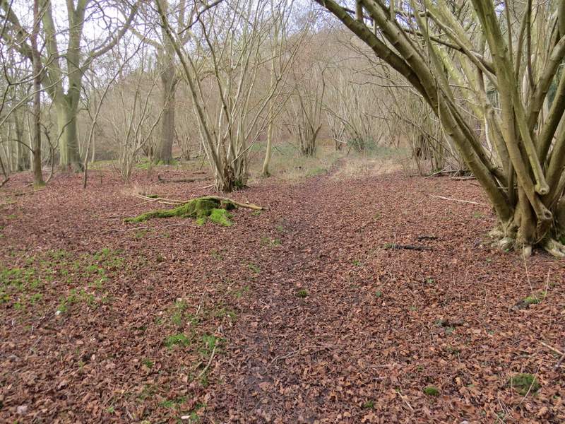
The path after I turned left - the OS map shows Yewtree Brow on my right, Braziers Common to the left
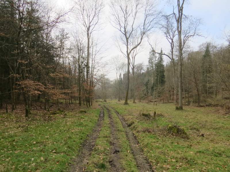
Further along the same path
Just a few yards before I reached the edge of the wood, the path turned slightly right (at a waymark post) and started to climb very gently up that side of the valley. When a path went left down some steps I took a brief detour, following the steps down to a gate to take my usual photo looking over Bottom Farm at Ipsden, but it was still a bit misty and I was looking into the sun so the resultant snap wasn't worth the effort of going up and down the steep steps. I then continued along the path, still rising gently through the wood.
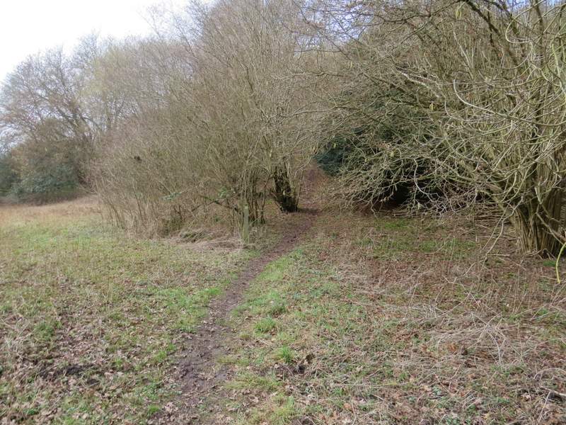
Where the path turns right near the edge of the wood
A little further along the same path
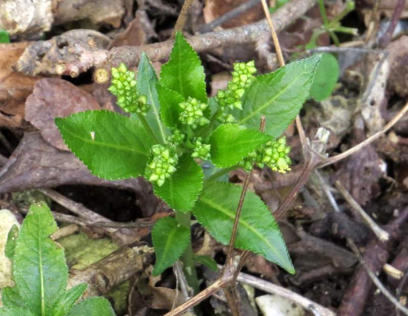
Dog's Mercury, the first wildflower I've seen this year
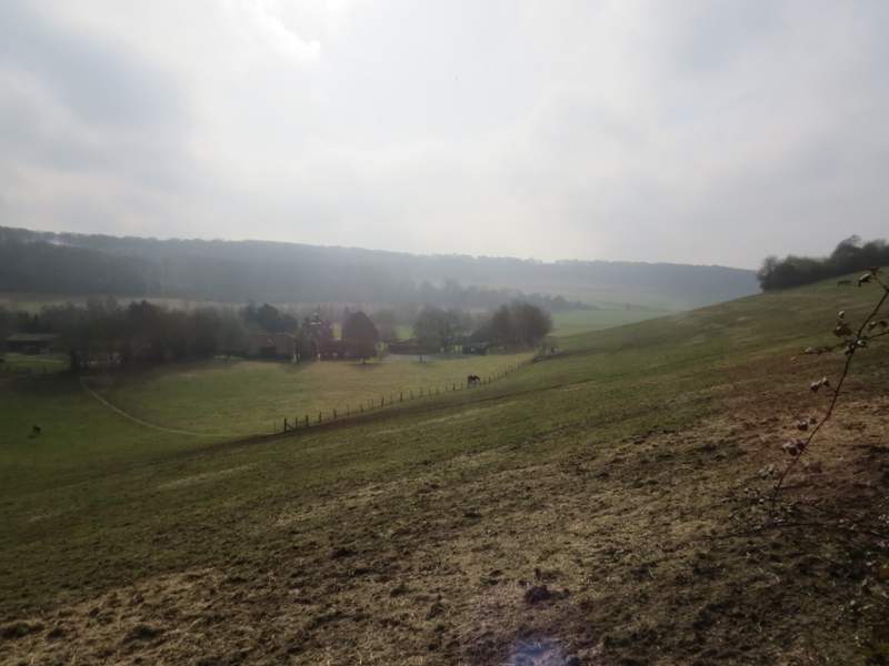
This is normally a fine view over Bottom Farm, Ipsden, but I was looking into the sun and it was a bit misty anyway
Further along the same path