Pete's Walks- Deacon Hill and Pegsdon (page 2 of 2)
If you are considering walking this route yourself, please see my disclaimer. You may also like to see these notes about the maps and GPX files.
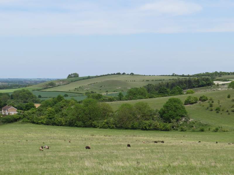
Near the foot of the slope, I paused to take photos of Deacon Hill and towards the Knocking Hoe nature reserve, to which I was headed. The path ended on the B655 road, which I crossed and continued a few yards down a drive (the other side of a narrow verge) to a lane. I turned left down the lane, then turned right at a junction to follow a lane through Pegsdon. At the end of the lane I turned left along a long drive (initially with houses on my right), heading to Pegsdon Common Farm.
Approaching Pegsdon
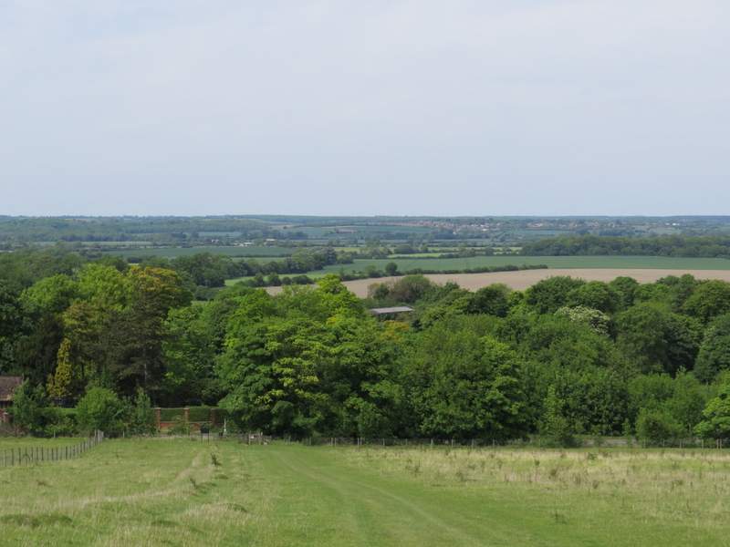
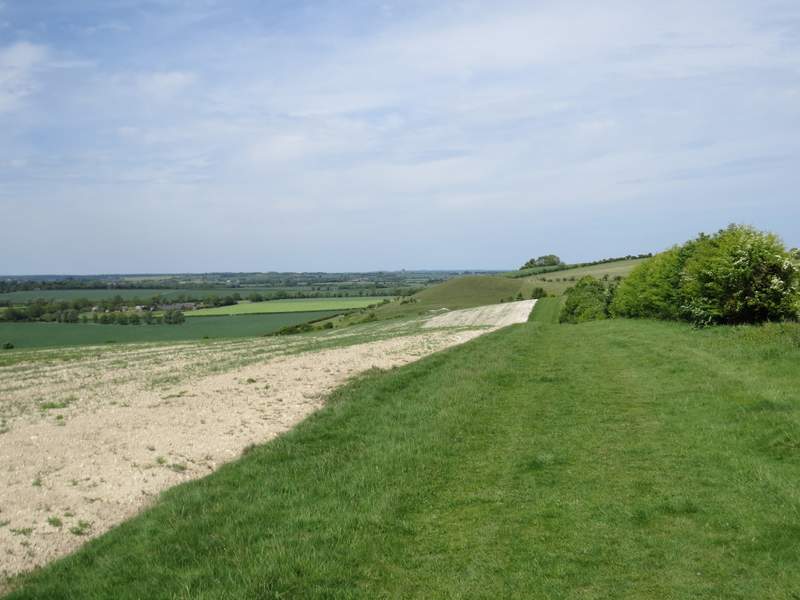
Looking right to Deacon Hill
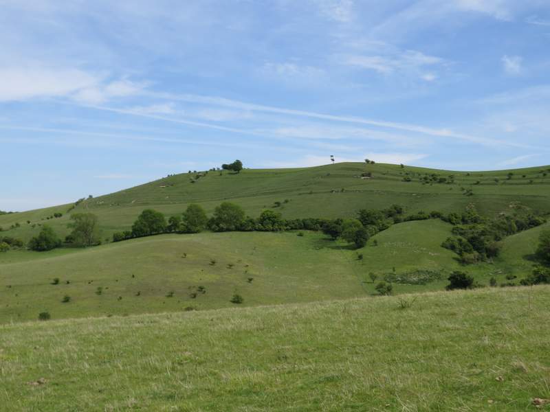
View towards Knocking Hoe
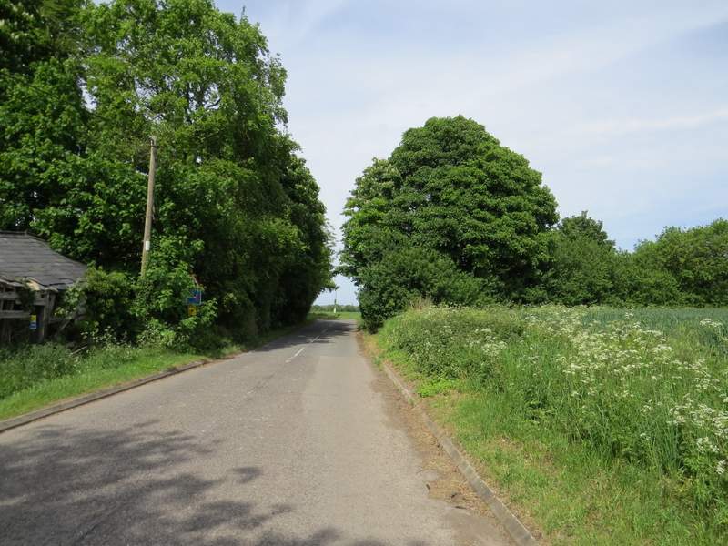
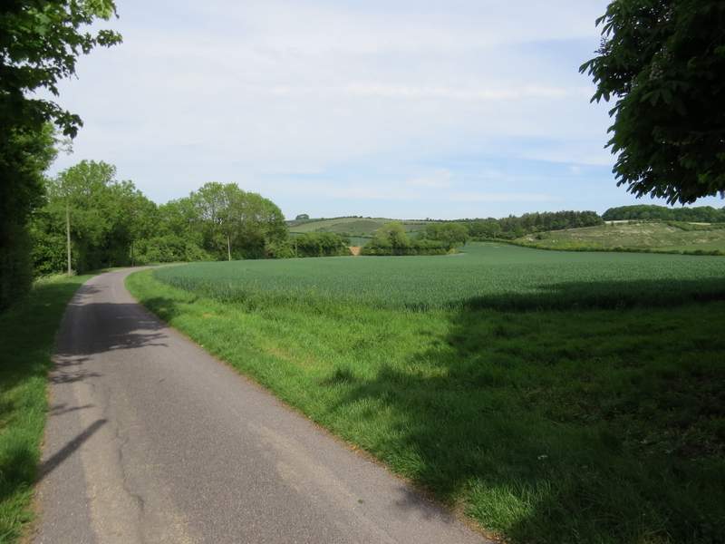
The short stretch of road before I turned right into Pegsdon
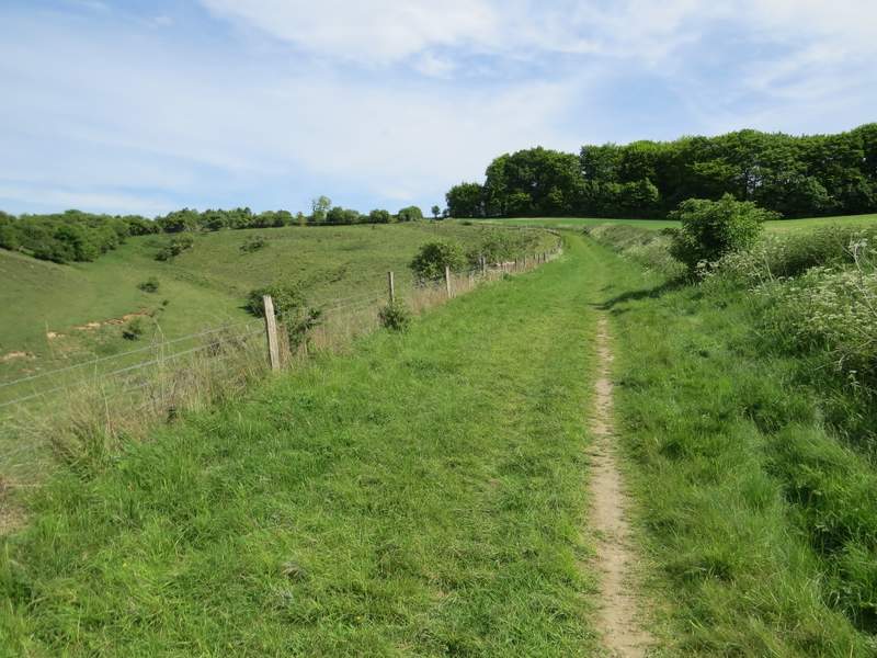
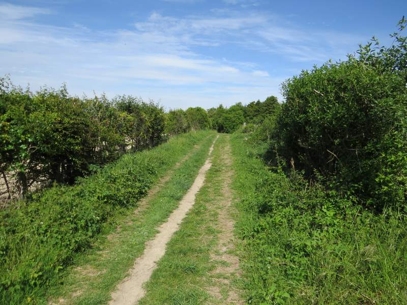
The drive I followed out of Pegsdon
The drive turned right and then left. Shortly after this latter turn, a footpath went right, across a field of green corn. The path then went up some steps, and carried on uphill beside a wood on my left and with a view to Deacon Hill over to the right. The path continued alongside a hedge with another field of corn on my left, and then turned left to follow another side of the same field for several hundred yards. It then turned right, with a fence on my left separating me from the Knocking Hoe nature reserve. As I came to a junction with a bridleway, I went through a gate on the left and spent a pleasant half an hour or so in the nature reserve, successfully looking for Burnt-tip Orchids and Pasque Flowers.
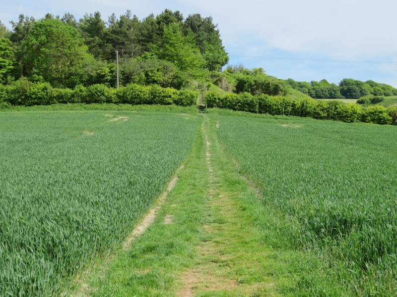
The footpath to Knocking Hoe
The footpath to Knocking Hoe
Looking right to Deacon Hill
The footpath to Knocking Hoe
The path continuing next to the Knocking Hoe nature reserve
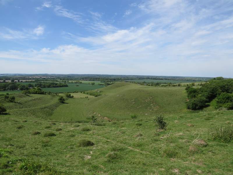
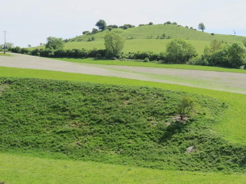
View over the Knocking Hoe nature reserve (on the left are some strip lynchets, ancient man-made terraces used for farming - there are more of them on Deacon Hill)
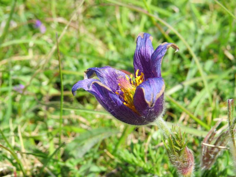
Pasque Flower
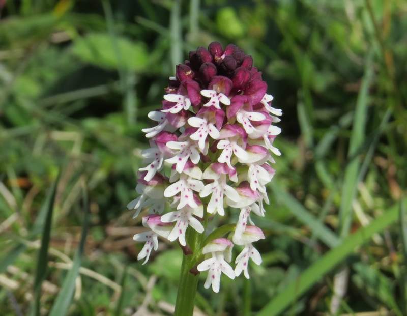
Burnt-tip Orchid
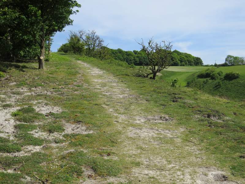
On returning to the junction with the bridleway, I turned left. After a couple of hundred yards or so I turned right, following the edge of a large corn field (on my right) all the way back to the B655 road. I crossed over carefully, and turned right, following the road for maybe a quarter of a mile back to the car park.
The bridleway after I turned left by the nature reserve
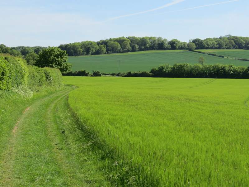
The footpath heading back to the B655 (it runs along behind the crossing hedgerow)
For me this was a very pleasant way indeed to spend an afternoon, but I very much doubt that I would do the walk unless I was planning to spend some time at the Knocking Hoe nature reserve (otherwise I'd spend almost as much time driving to and from the start point as actually walking) - or possibly I'd do it if I was ill and could only manage such a short walk. The best part of the walk, from Deacon Hill to Pegsdon Hill, is included in two longer walks I do, the Lilley-Barton Walk (about 14.5 miles) and the Barton and Deacon Hill walk (about 10 miles).