Pete's Walks- Barton and Deacon Hill (page 1 of 4)
If you are considering walking this route yourself, please see my disclaimer. You may also like to see these notes about the maps and GPX files.
I did this circular walk of about 10 miles on Saturday, 26h August 2017. It was a repeat of a walk I did in July 2014, the route being a shortened version of the Lilley-Barton walk that is one of my favourite walks in the Chilterns. Today, when I reached the foot of Deacon Hill I made a detour to the Knocking Hoe nature reserve and back (about a mile each way) to see the Autumn Lady's-Tresses there, so I actually walked about 12 miles.
I parked in Old Road, Barton-le-Clay (grid reference TL083305), by the entrance to some playing fields and started walking about 9.45am. I followed a footpath across the playing fields and then down a short alley, to emerge opposite Barton church. I turned right here, along Church Road, and at the end of the road I took a footpath going left, passing a paddock and then a field on my right. Just after the path turned right in the field corner, I went through a metal kissing-gate and followed a steep path (it uses 'steps' in a couple of places) up to the top of the Barton Hills.
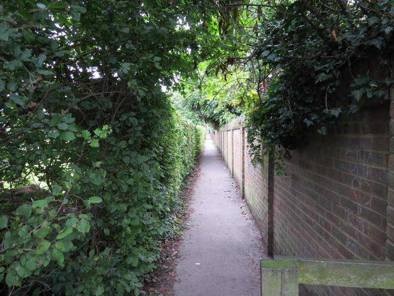
The alley between the playing fields and Barton church
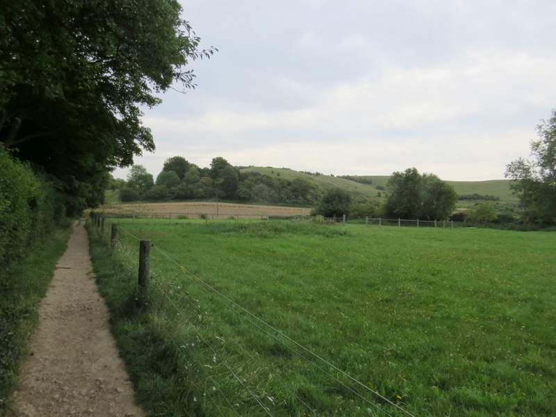
The path from Barton to Barton Hills
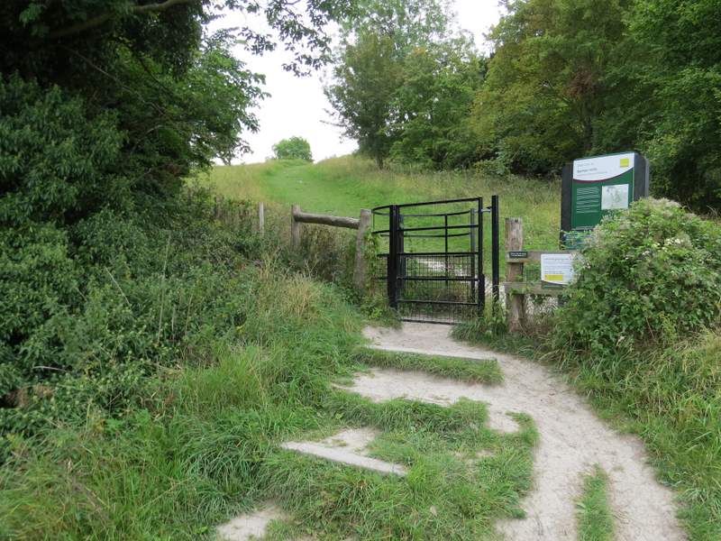
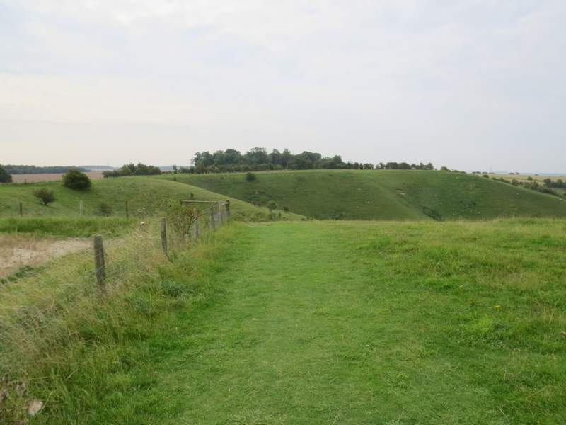
The start of the path up to the top of the Barton Hills
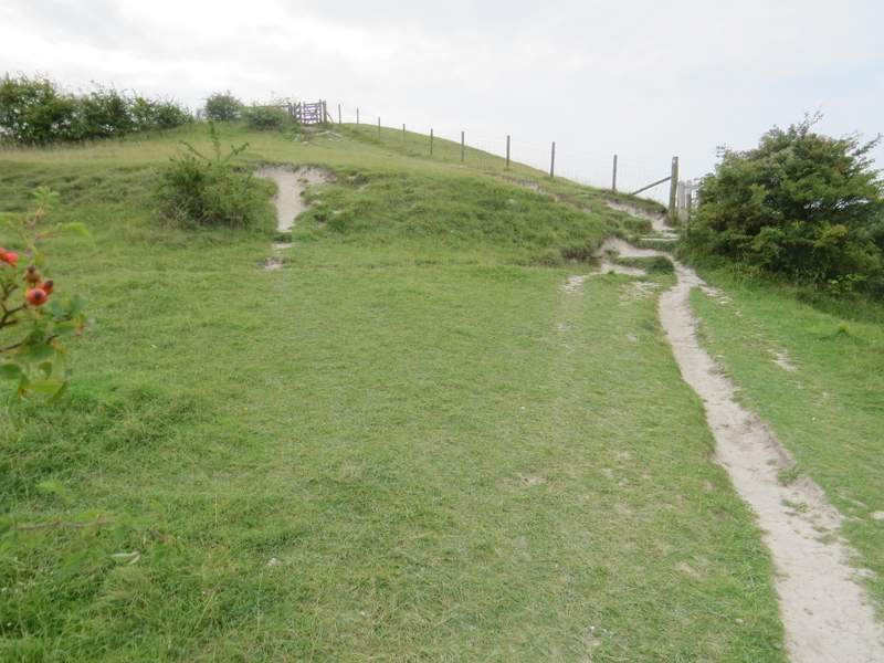
The path up to the top of the Barton Hills
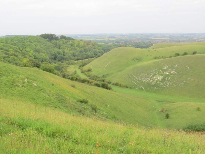
It was then a very pleasant stroll for about half a mile, following a fence-line on my left with the chalky hills sloping down on my right. There is one main valley here, with two or three side-valleys entering it from the eastern side where I was walking, the western slope being wooded. I continued along the path as it turned right, now with a hedge on my left, to cross above the end of the main valley - here, as elsewhere, - were good views over Barton Hills, to Barton, Sharpenhoe Clappers and beyond.
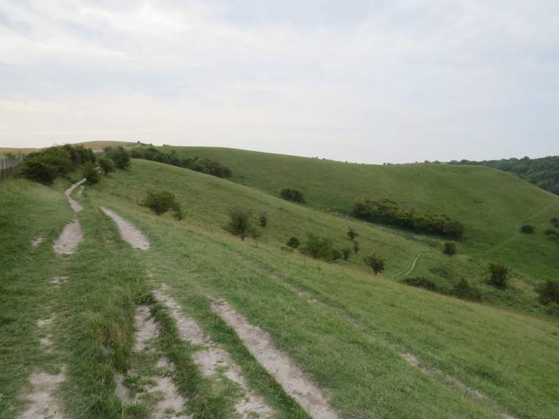
Barton Hills
Barton Hills
Barton Hills
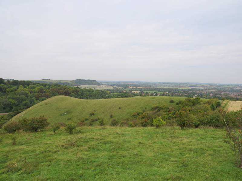
Looking back from Barton Hills, towards Sharpenhoe Clappers (the wood-topped hill in the distance), Barton and beyond
Barton Hills
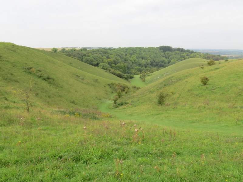
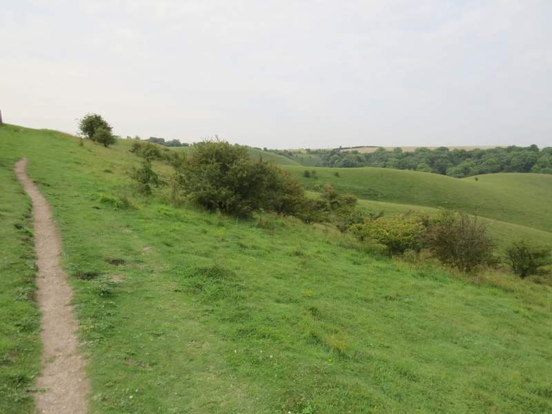
The last and largest of the side valleys ...
... that leads down to this main valley
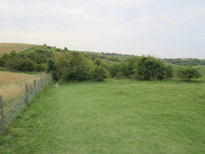
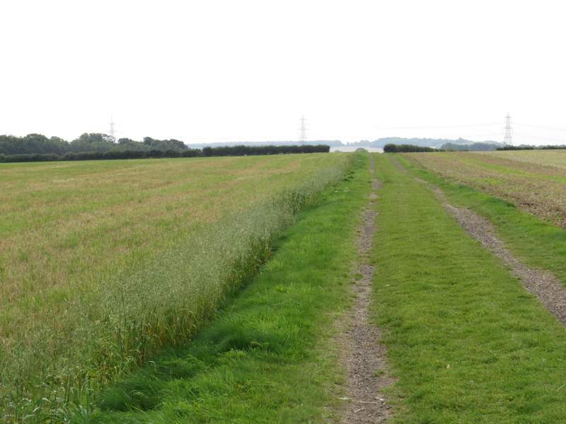
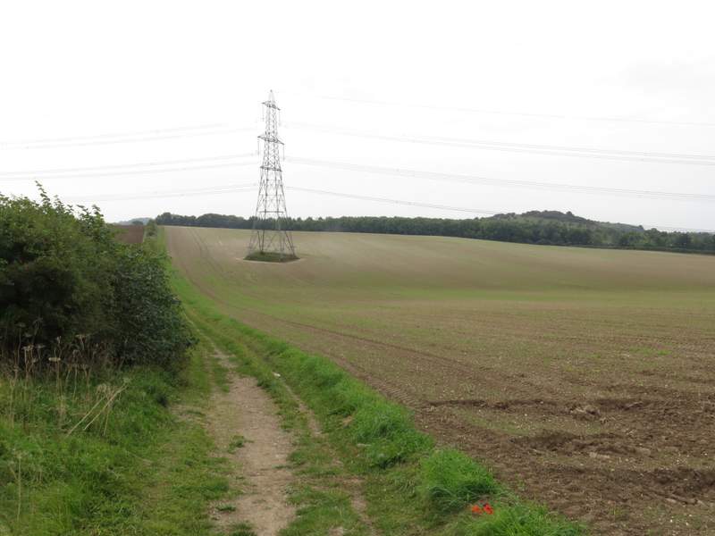
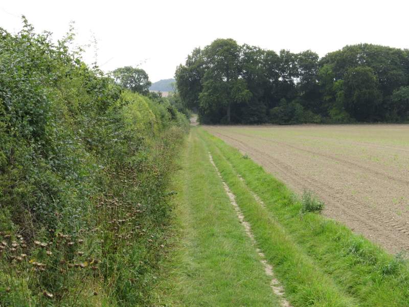
When I reached a hedge-corner I went straight on, soon coming to a path junction. where I turned left and immediately left the Barton hills nature reserve at a kissing-gate. I turned left, and followed a farm track for several hundred yards until I reached a minor road. I went left for about a hundred yards, then took a bridleway on the other side. This followed a hedge on my left for about half a mile until I came to track crossroads, where I turned left onto part of the Icknield Way long-distance path (the OS map indicates that this section is also part of the historic Icknield Way).
The bridleway from Barton Hills
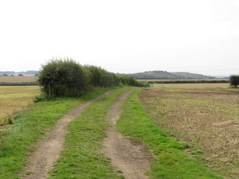
The bridleway from Barton Hills
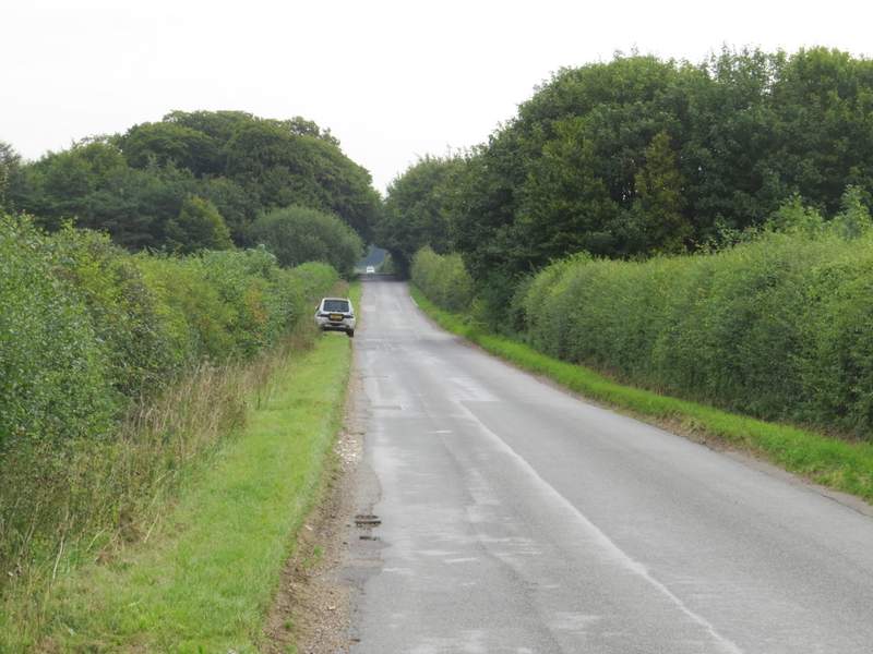
The short road section
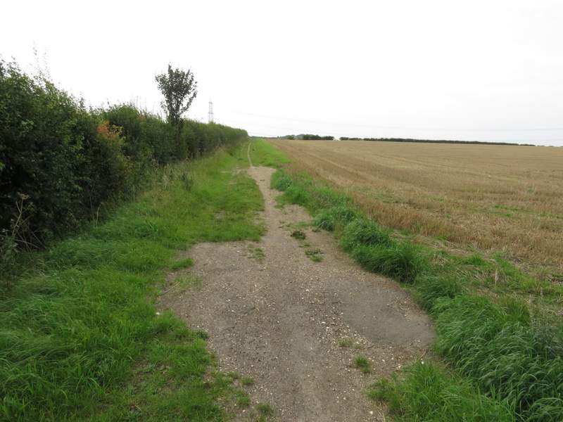
The bridleway starting on the other side of the road ...
... heading towards Galley Hill
The bridleway approaching the Icknield Way