Pete's Walks - Amersham Old Town and Chalfont St Peter (page 1 of 3)
If you are considering walking this route yourself, please see my disclaimer. You may also like to see these notes about the maps and GPX files.
I did this walk of about 7.9 miles on Saturday, 23rd September 2017. It was just after 1pm as I set off from the entrance to Amersham church, following a stone path that ran beside the church. At its end I went a yard or two left along another path, then turned right along a track that soon took me over a brick bridge across the river Misbourne. I turned right and followed a path between the river and a cemetery on my left. Beyond the latter, the path continued with a hedge between myself and the river, and a large ploughed field sloping uphill on my left. Further on the path passed a smallholding or allotment on my right. On reaching a road, I used a pedestrian crossing to get across it, then went down a drive next to an estate agent. The path continued through a gap on the right and across a car park, than ran in front of The Chequers public house to reach another road. A short way to the left, a path started on the other side of the road, following the right edge of a meadow and then running through bushes next to the Misbourne on my right. After passing under a road bridge (covered in graffiti) the path ran for several hundred yards along the right edge of a large field, with the Misbourne now out of sight but just a few yards to my right.
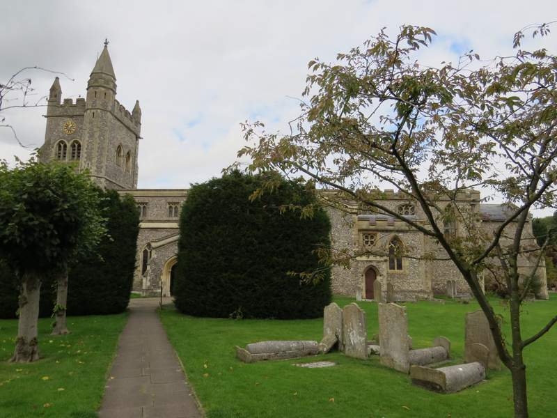
Amersham church
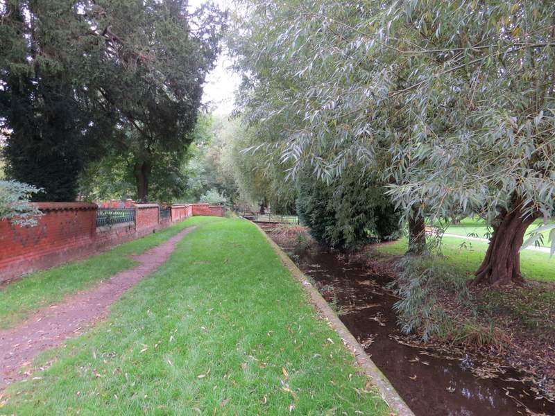
The path past the cemetery, beside the river Misbourne in Amersham Old Town
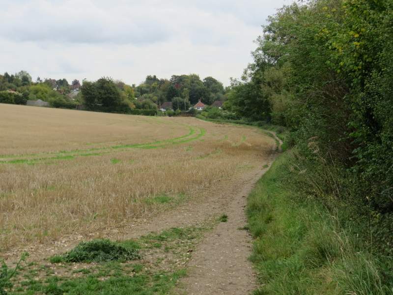
The path continuing towards the road crossing
The path from Amersham Old Town
The path alongside the river Misbourne
I then crossed a footbridge over the river Misbourne (very dry here) and followed a path across a ploughed field. On the far side I turned left along the path that runs along the Misbourne valley. A hedge on my right soon ended, but a few hundred yards further on a tall hedge started on my left (this hid a waterworks from view, but didn't hide the smell). Beyond the long hedge, the path continued through a band of rough grass, with a few glimpses of the Misbourne over to my left. It then crossed an empty pasture or paddock to reach Bottom House Farm Lane. Across this lane the path ran between hedges or fences past a couple of paddocks, and then started to run through a tree belt.
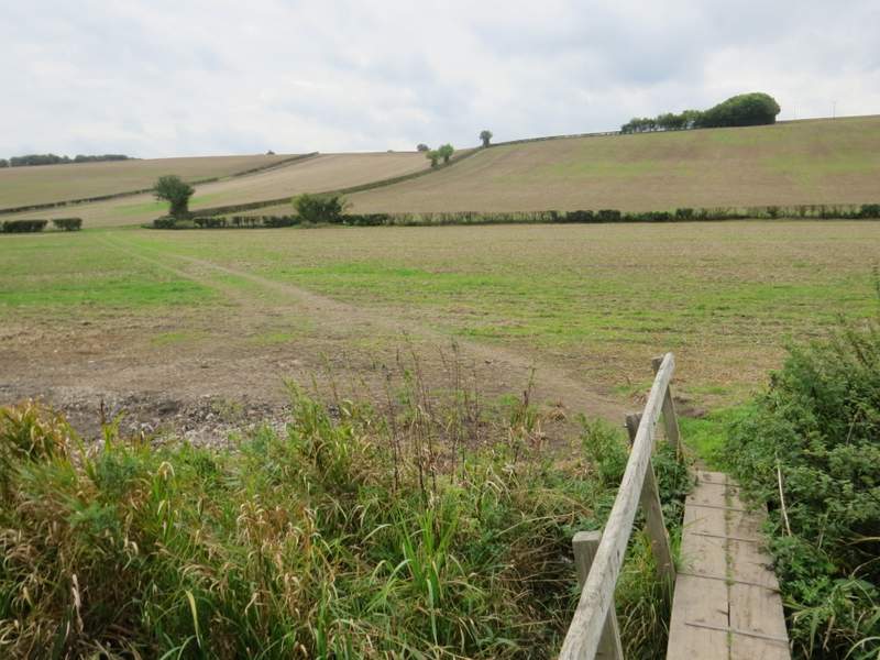
The path from the footbridge over the river Misbourne (not much more than a few puddlles here)
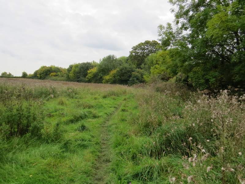
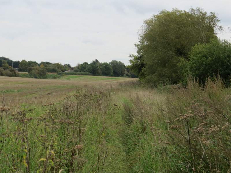
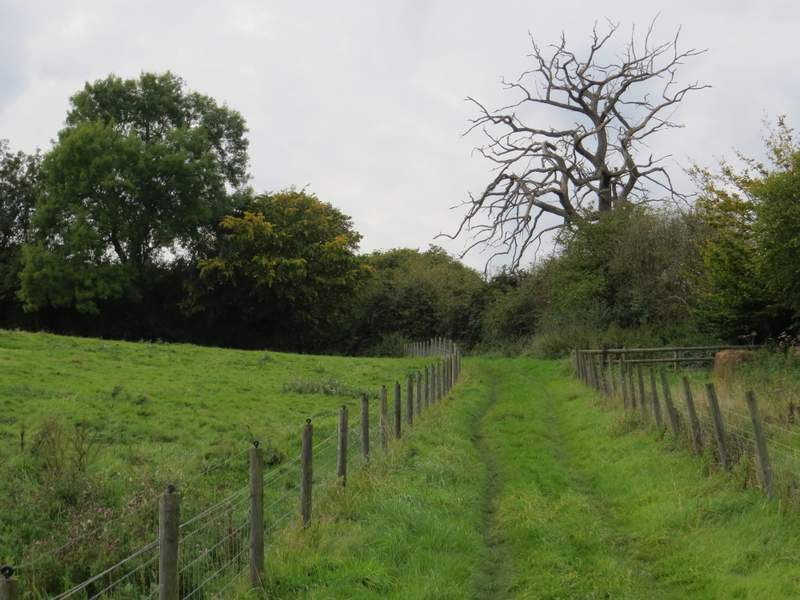
The path through the Misbourne Valley, going southeast towards Chalfont St Giles
The path through the Misbourne Valley
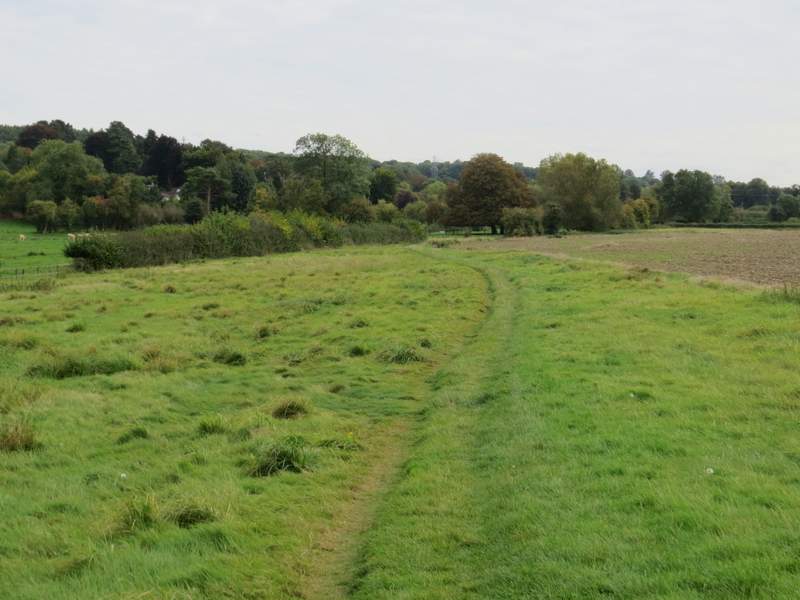
The path through the Misbourne Valley
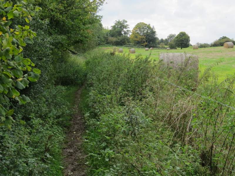
The path through the Misbourne Valley, just before reaching the tree belt
The path through the Misbourne Valley
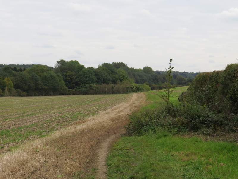
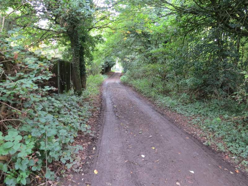
After a hundred yards or so through the tree belt, I came to a path junction where I turned right. The path left the tree belt and started to gently climb uphill, with fences either side. Further up the slope, the path ran beside a hedge on my left, with fields over the fence on my right - there was a slippery muddy scetion amongst nettles here. Eventually the path passed Dairy Cottage on my left, joining its drive which soon met a track, where I turned right and almost immediately followed the track as it turned left. After maybe a hundred yards, where the track came to some outbuildings, the path continued straight on between a fence and a hedgerow on my right. After a few hundred yards I came to a bend in Botterells Lane, where I turned right alaong a farm track. When this turned right after a hundred yards or so, I took a path on the left that crossed part of a paddock to bring me back to Botterells Lane.
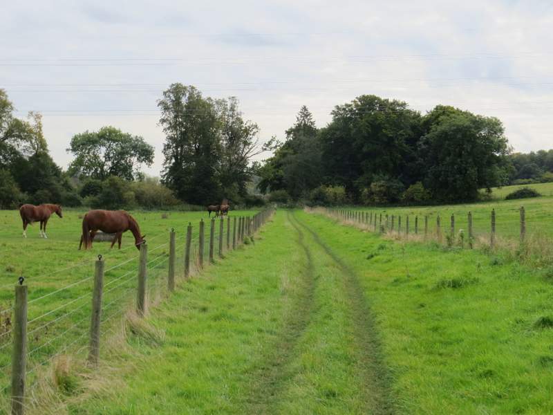
The path going uphill from the Misbourne Valley, to Botterells Lane
The path going uphill from the Misbourne Valley, to Botterells Lane
The path going uphill from the Misbourne Valley, to Botterells Lane
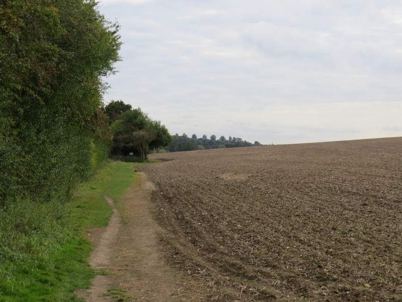
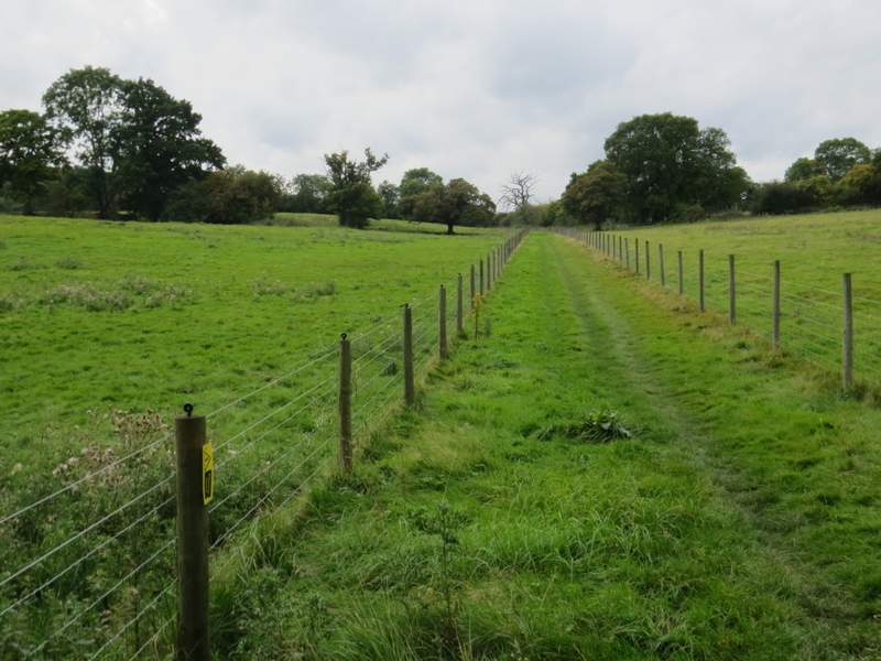
The path to Botterells Lane
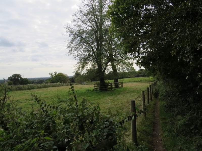
The path to Botterells Lane

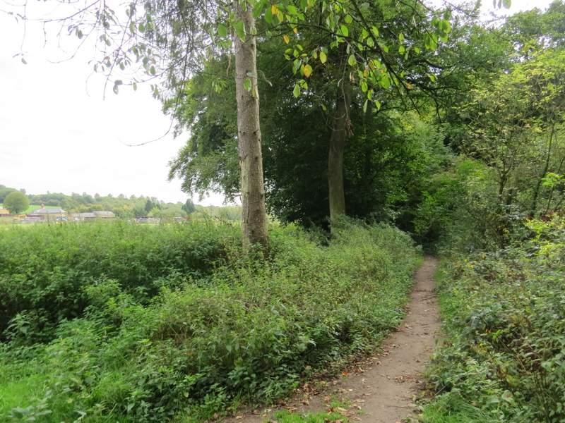
The path to Hodgemoor Woods