Pete's Walks - Amersham Old Town and Chalfont St Peter (page 2 of 3)
If you are considering walking this route yourself, please see my disclaimer. You may also like to see these notes about the maps and GPX files.
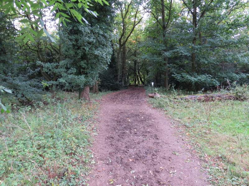
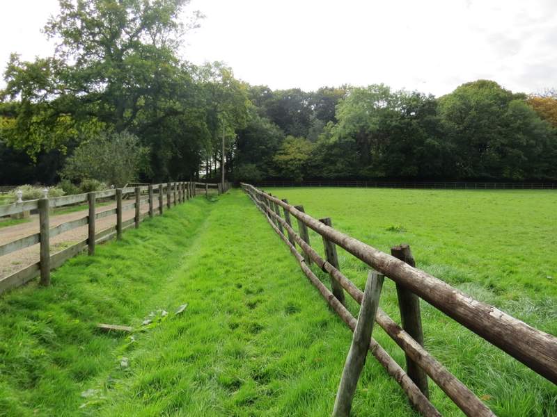
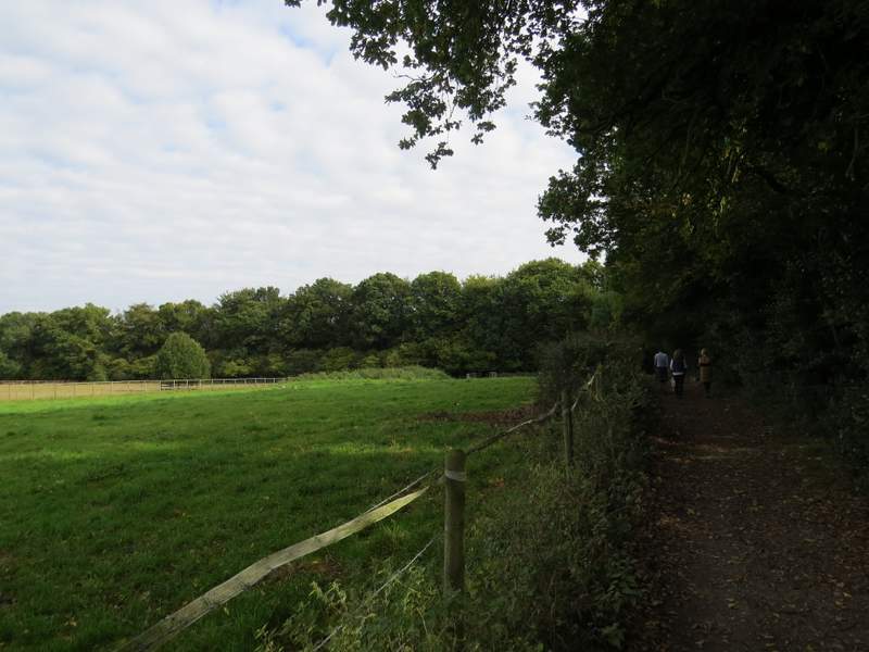
Across the lane I entered Hodgemoor Woods, soon coming to a junction where I joined a bridleway and kept more or less straight on. After another hundred yards or so I came to another path junction where the bridleway went left and soon exited the woods, immediately turning right and following the edge of the woods. After a few hundred yards it re-entered the woods (this wasn't really clear, there wasn't a waymark post until I'd gone a few yards into the woods - but it was the second path going into the woods on my right). A path went left straight away, but I went on a few more yards and then turned left at a path T-junction. This path stayed quite close to the edge of the woods, over to my left, finally leaving the woods after about a third of a mile. The path continued through a stableyard, then carried on between fences to the right of a drive and with paddocks to my right, turning right at the end of the paddocks to follow a tall hedge (with much holly) on my left, separating me from Rawlings Lane.
The entrance to Hodgemoor Woods
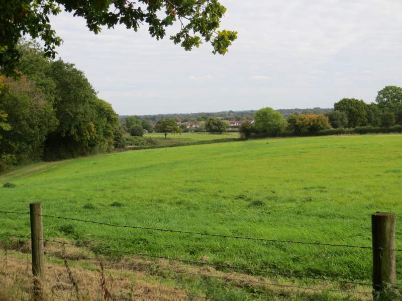
View from the bridleway on the edge of Hodgemoor Woods
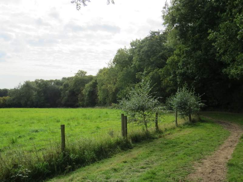
The bridleway on the edge of Hodgemoor Woods
Hodgemoor Woods
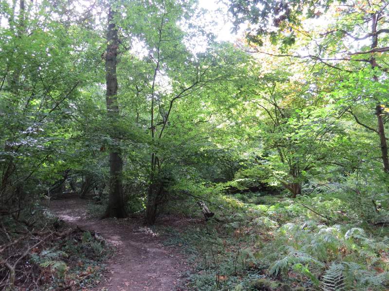
Hodgemoor Woods
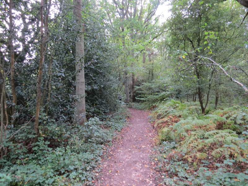
The path from the stables, on the edge of Hodgemoor Woods
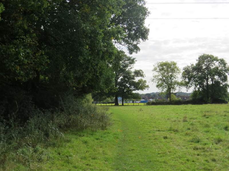
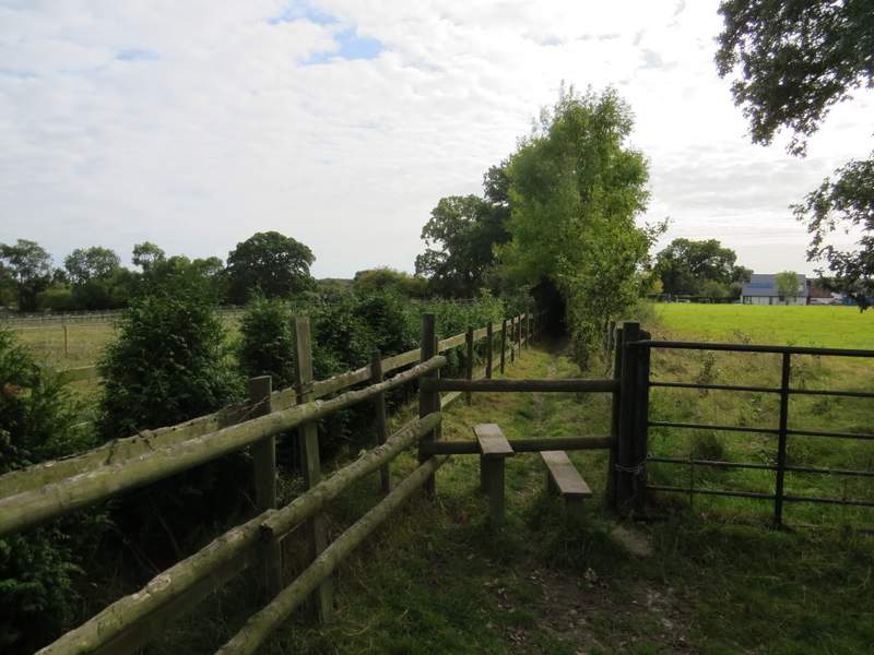
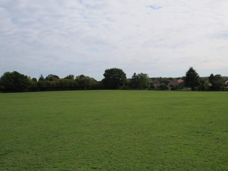
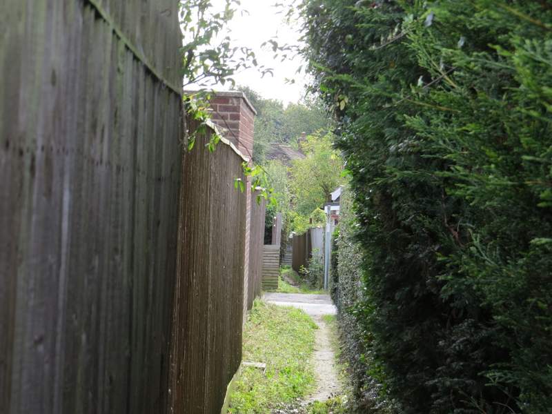
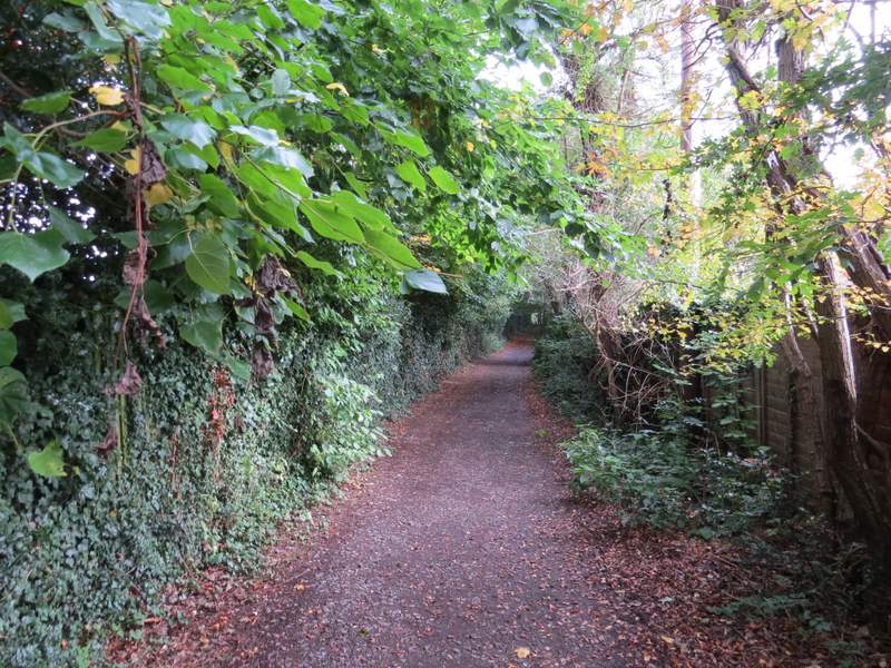
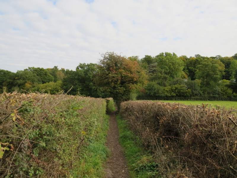
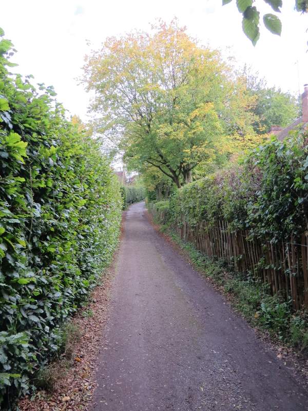
At the end of the tall hedge, I turned left to reach a bend in Rawlings Lane, where I went straight on, initially with a wooden fence on my left. After about a quarter of a mile a path went off on the left. Initially a fence seperated me from a pasture on my left, then the path went through three or four small paddocks or pastures with a wood on my left. The path then continued between fences and hedges for a hundred yards or so, before I turned half-left on a path that crossed a very large paddock diagonally. In the far corner, the path continued down an alley between gardens, crossing two streets and ending on Orchard Road in Seer Green.
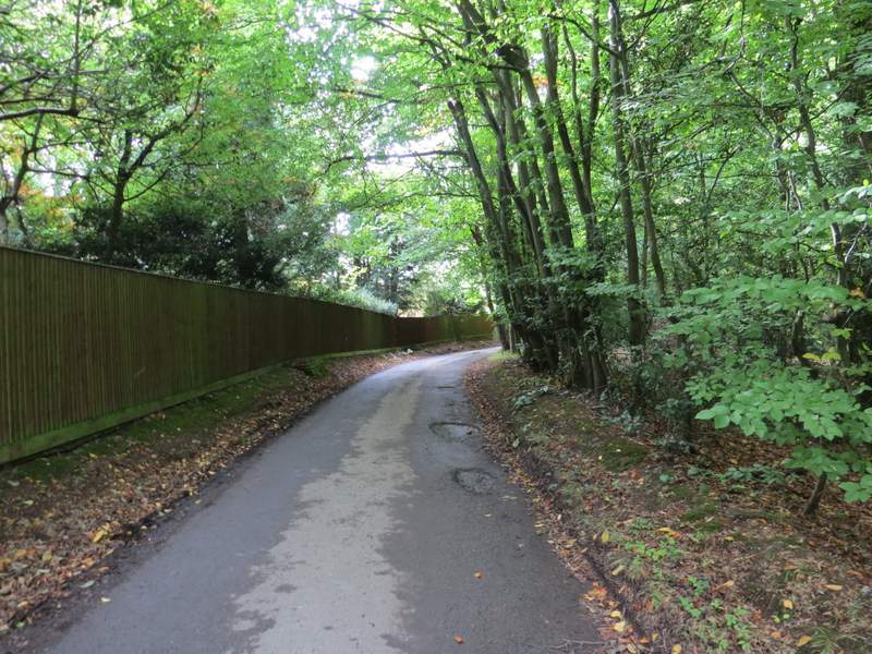
Rawlings Lane
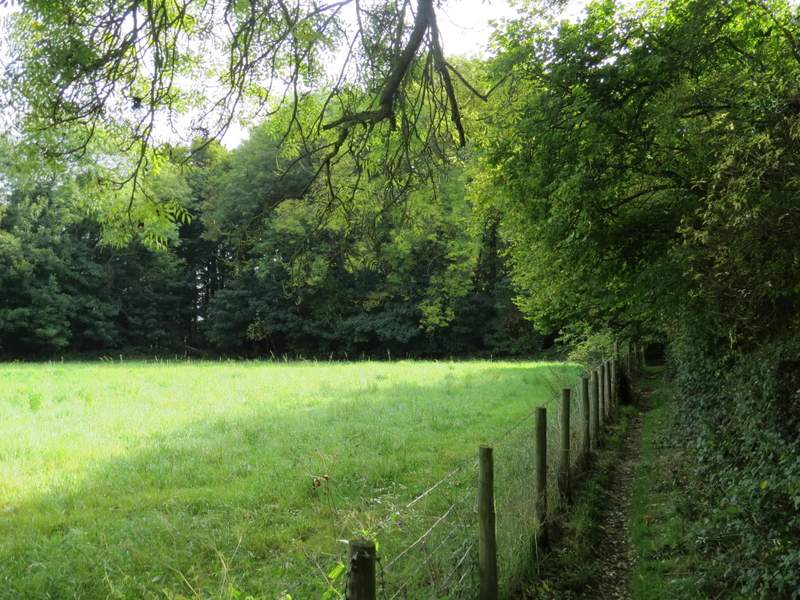
The path from Rawlings Lane to Seer Green
The path from Rawlings Lane to Seer Green
The path from Rawlings Lane to Seer Green
The path into Seer Green
The path through the alleys at Seer Green
I turned left, and stayed with the road as it turned left by the Three Horshoes Pub. At the end of the road I turned right, passing the village church on my right and the Jolly Cricketers pub on my left. I then took a path on the left, starting down a gravel drive opposite the Parish Hall. After a hundred yards or so I turned right onto a path that would take me to Jordans. Soon I had grassy fields over the fence to my left, with a tall hedgerow on my right. Further on the path dropped gently downhill between well-trimmed hedgrows. Across a bridleway in the valley bottom, I continued straight on along Seer Green Lane, following it uphill through part of the village of Jordans to where it was crossed by Copse Lane.
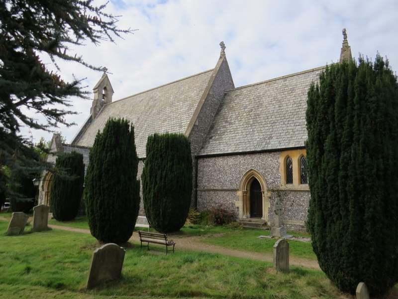
Seer Green church
The start of the path from Seer Green to Jordans (after turning right from the gravel drive)
The path from Seer Green to Jordans
The path from Seer Green to Jordans
Seer Green Lane, Jordans, approaching Copse Lane