Pete's Walks - Chesham Vale and The Lee (page 1 of 3)
If you are considering walking this route yourself, please see my disclaimer. You may also like to see these notes about the maps and GPX files.
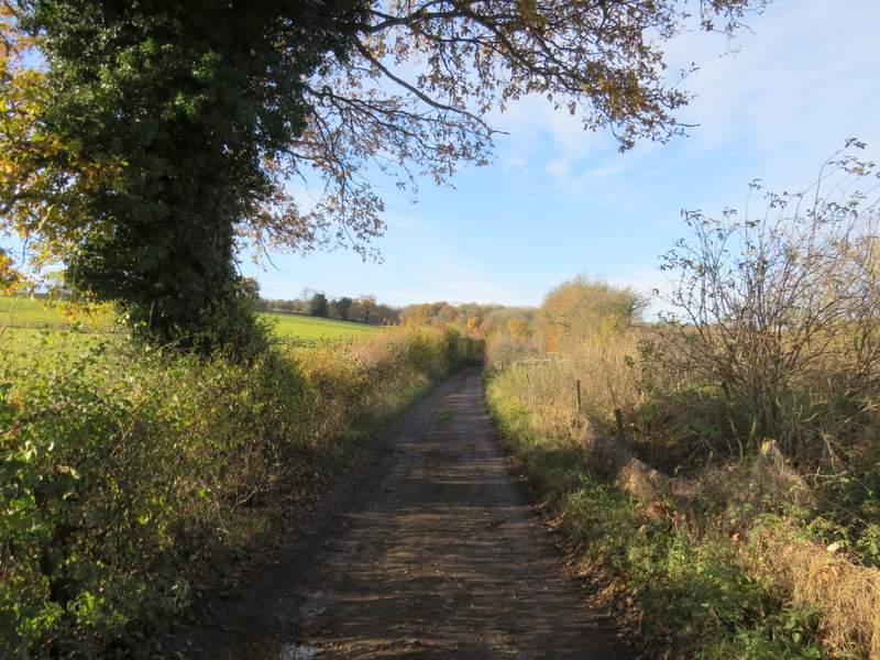
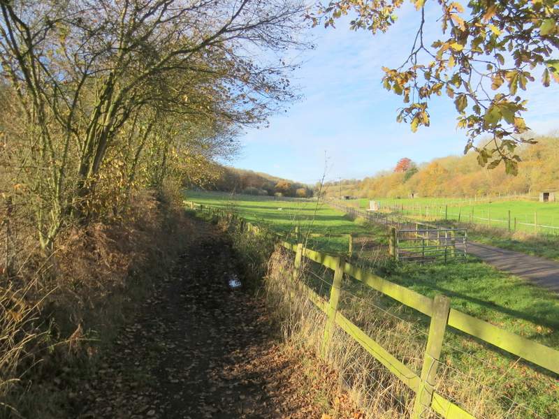
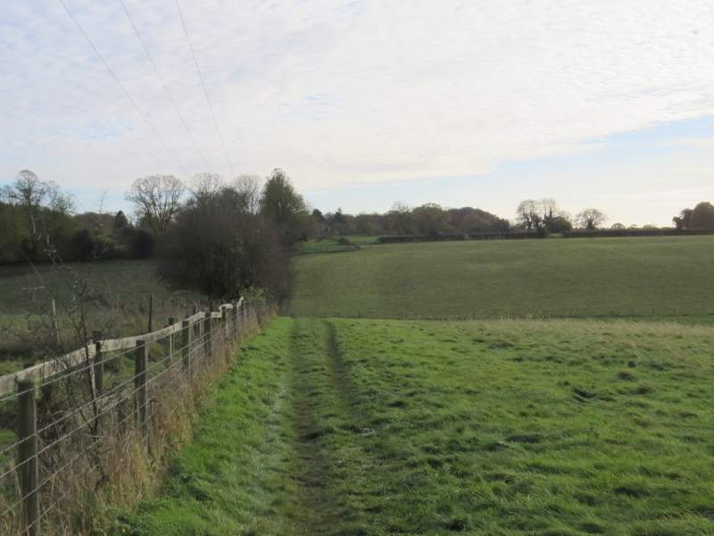
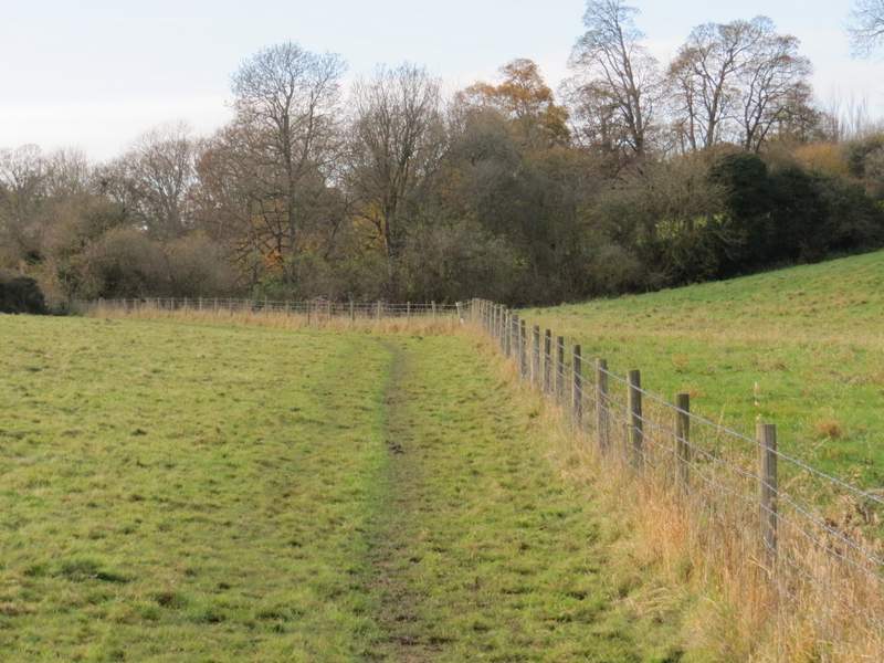
I did this walk of about 8.6 miles on Sunday, 19th November 2017. It was the sixh of the seven walks I will do along the Chiltern Heritage Trail. I started from opposite the Black Horse pub in Chesham Vale (grid reference SP 963046), setting off about 12.40pm and heading south along the road towards Chesham. After about a quarter of a mile I turned right along a byway (I don't think there was a sign or waymark pointing along it, but there was a fingerpost for the path starting on the other side of the road). The byway ran between hedges either side, and after a third of a mile or so passed what was formerly an ostrich farm (there were just mainly empty paddocks there now). The byway turned left and went uphill a short distance, before turning right alongside Ramscoat Wood on my left. The byway then entered the wood, but soon after I took a path on the right (just before the byway turned left). This path immediately left the wood and turned left along the edge of the wood, beside an arable field. I was in a valley named White Hawridge Bottom, and I would be following it for about another couple of miles. The path went a few yards right in the next field corner to reach a stile, beyond which the path ran beside a tall hedge on my left with a field of rough grass sloping up on my right. The path then continued along the valley bottom through two further very similar fields, before crossing a meadow to reach a track called Hawridge Lane.
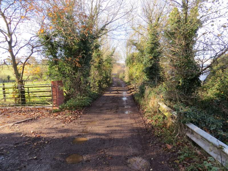
The start of the byway to the former ostrich farm
The byway to the former ostrich farm
The byway passing the former ostrich farm

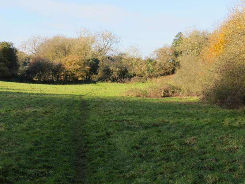
The byway continuing past Ramscoat Wood
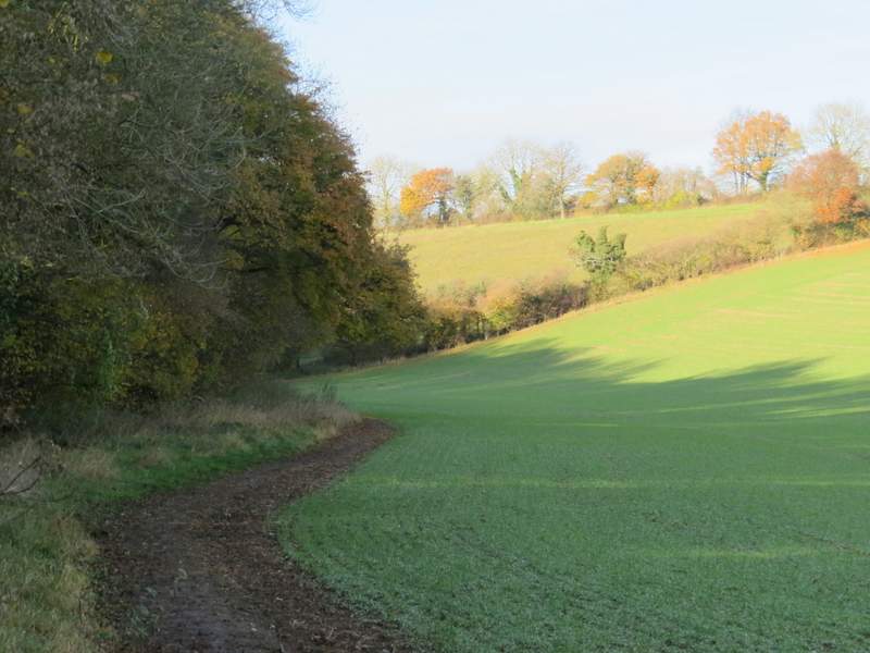
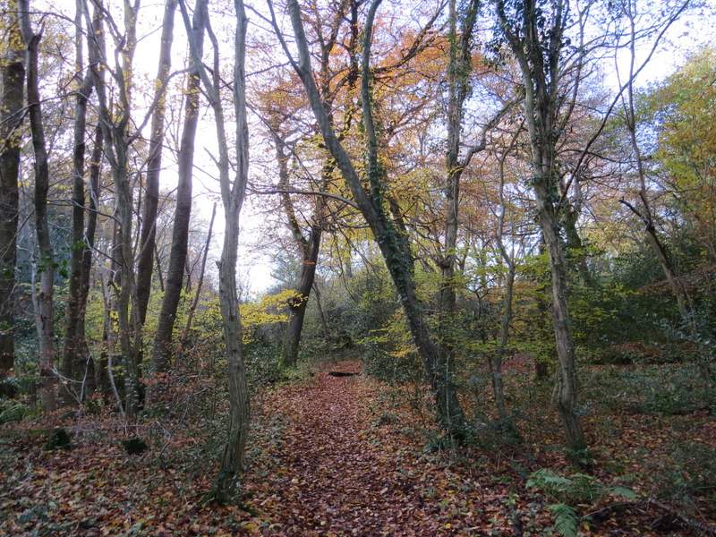
The path through White Hawridge Bottom, passing Ramscoat Wood
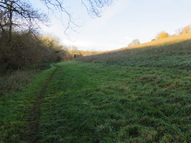
The path through White Hawridge Bottom
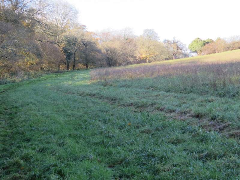
The path through White Hawridge Bottom
The path through White Hawridge Bottom/font>
The path through White Hawridge Bottom
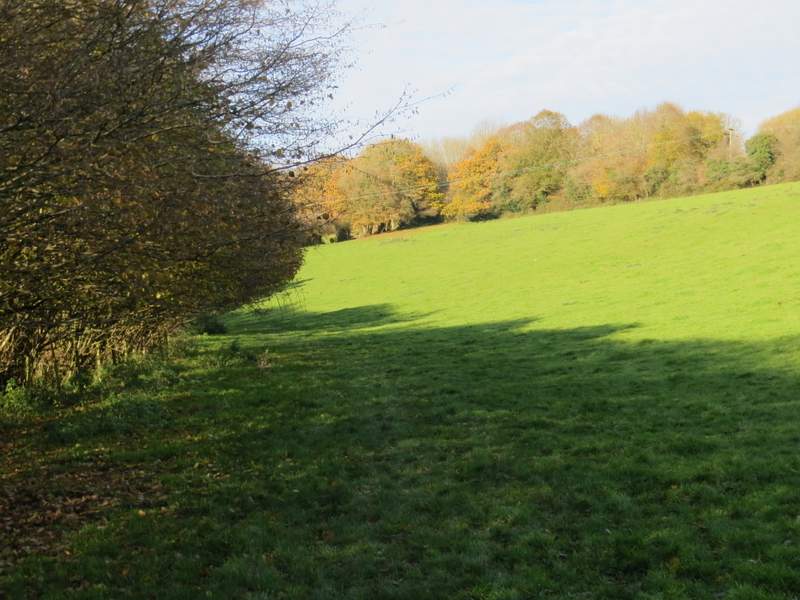
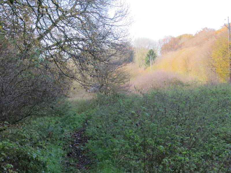
The path through White Hawridge Bottom, approaching Hawridge Lane
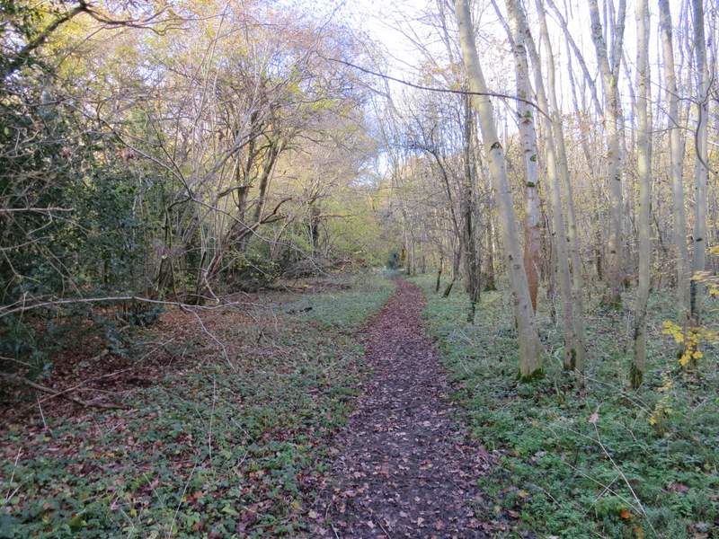
Across the track, the path carried on along the valley bottom, keeping to another hedgerow on my left through an empty pasture, then through a second pasture that had some cows up the slope on my right. The path then entered a wood, running through it for a few hundred yards and still sticking to the valley bottom, before passing a rather rundown smallholding behind a cottage, finally following the drive from the cottage to reach a road called Ray's Hill. I turned right, and followed the road uphill to reach Cholesbury (actually the road is close to the border between the adjoining villages of Cholesbury and Hawridge). I turned left and followed the edge of Cholesbury Common for about a quarter of a mile, passing the village cricket ground, before taking a path on the left that ran between gardens and then followed a fence line down into a valley (it's certainly the same valley that I'd been following from Chesham Vale, but I don't know if it is still called White Hawridge Bottom here). In the valley bottom I turned right at a path junction.
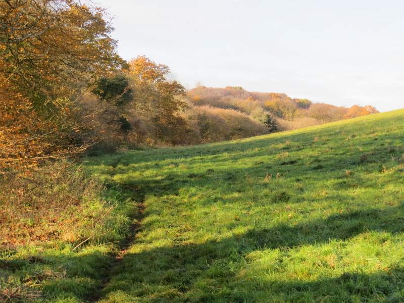
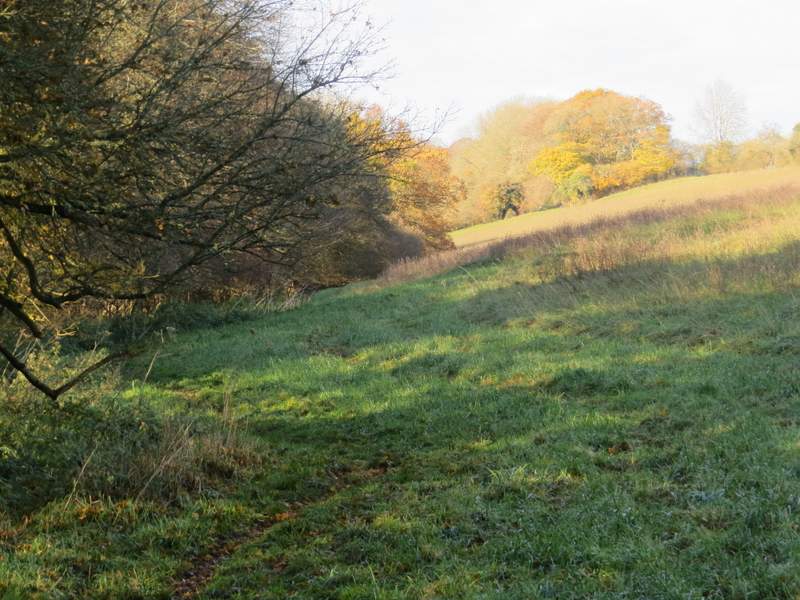
The path through White Hawridge Bottom
The path through White Hawridge Bottom
The path through White Hawridge Bottom
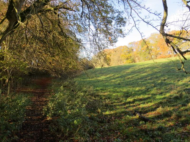
The path through White Hawridge Bottom
The path through White Hawridge Bottom
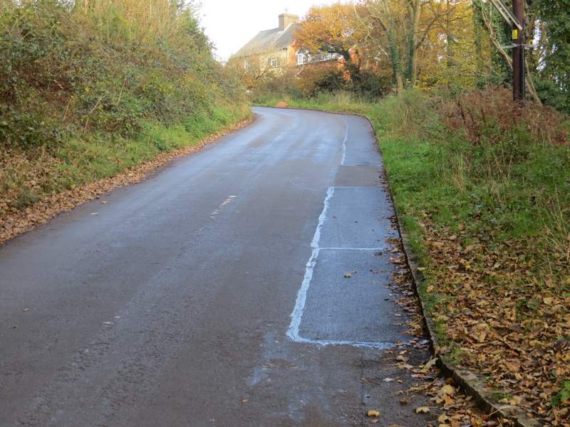
Ray's Hill
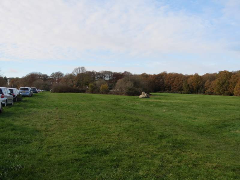
Cholesbury Common
The path from Cholesbury down into the valley
The path after I turned right in the valley bottom