Pete's Walks - Chesham Vale and The Lee (page 2 of 3)
If you are considering walking this route yourself, please see my disclaimer. You may also like to see these notes about the maps and GPX files.
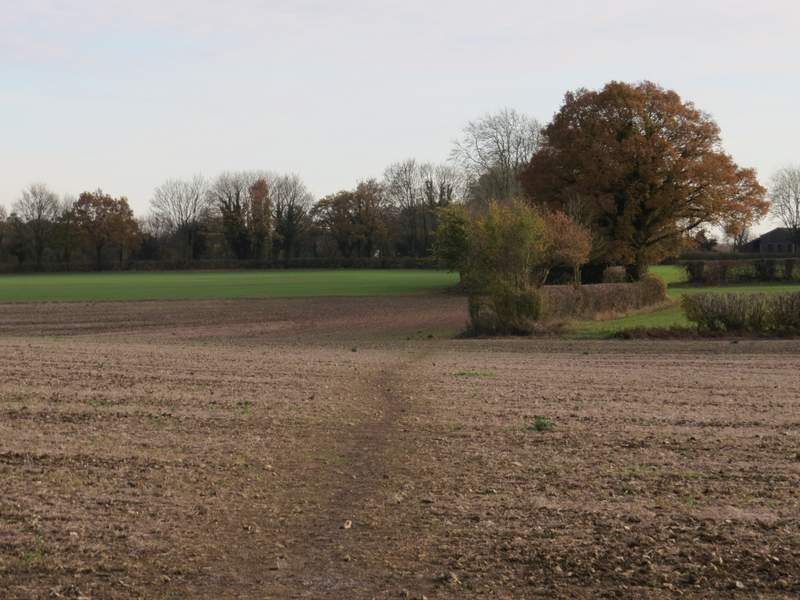
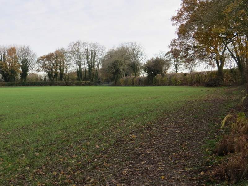
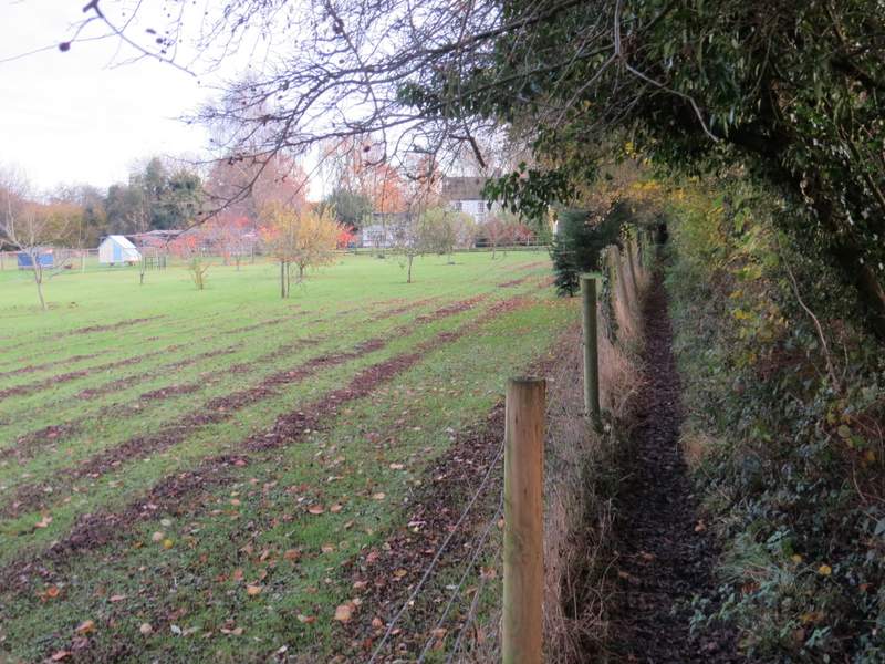
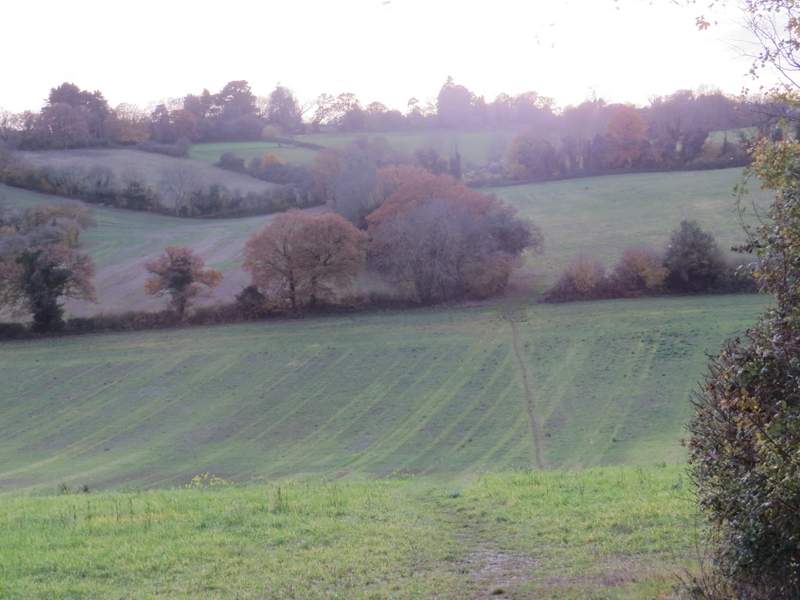
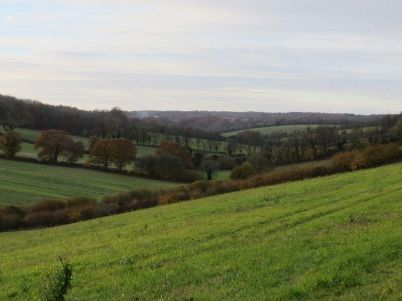
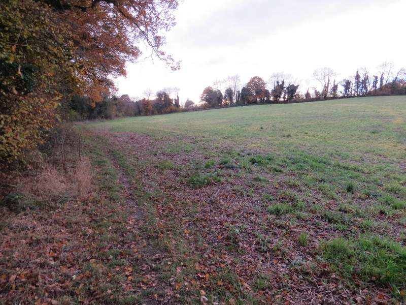
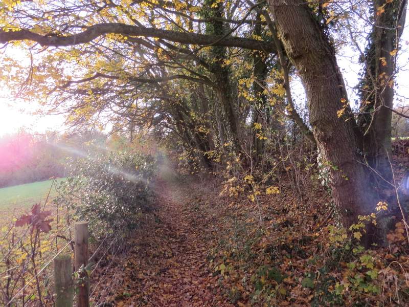
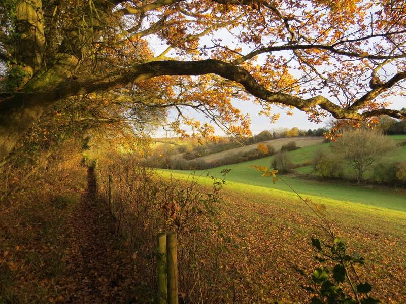
The path ran along the bottom of a pasture (containing a few cows) sloping up to my left, then continued along the valley bottom past a couple of stubble fields. In the far corner of the second stubble field I reached a path crossroads, where I turned left. The new path followed the edge of the field for a few yards then forked slightly left, gradually moving further away from the field edge as it rose uphill across the field. On the far side of the field I reached Oak Lane, where I went a few yards left before taking a path on the other side. This ran along the edge of another stubble field, with a wood on my left. After a couple of hundred yards or so the path went half-left to cut through a corner of the wood. Beyond the wood the path went straight on over a stubble field to reach a hedge corner, where it continued straight on with the hedge on my right. I crossed a bridleway where I had to go a yard or two left before going straight on, still with the hedgerow on my right. The path then ran along the right edge of an empty pasture, before running between a garden fence and a tall hedge on my right to reach a road near the entrance to Asheridge Farm.
The path after I turned right in the valley bottom
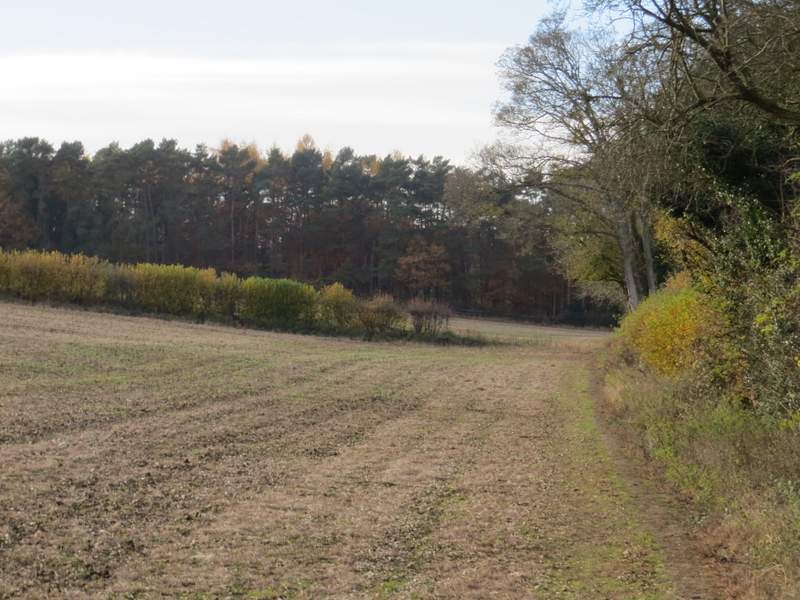
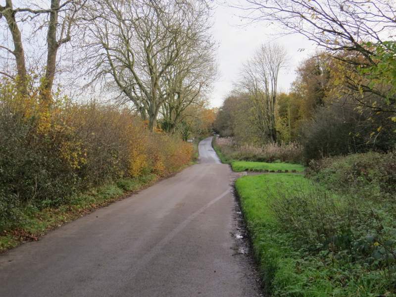
The path after I turned left, approaching Oak Lane
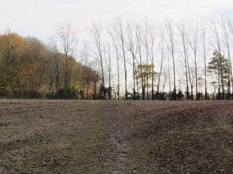
The path on the other side of Oak Lane
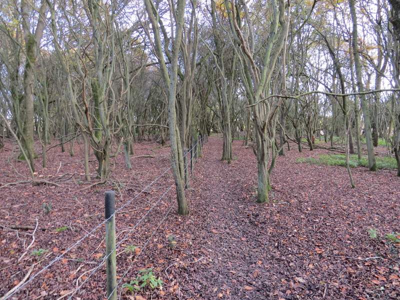
The path continuing through a wood
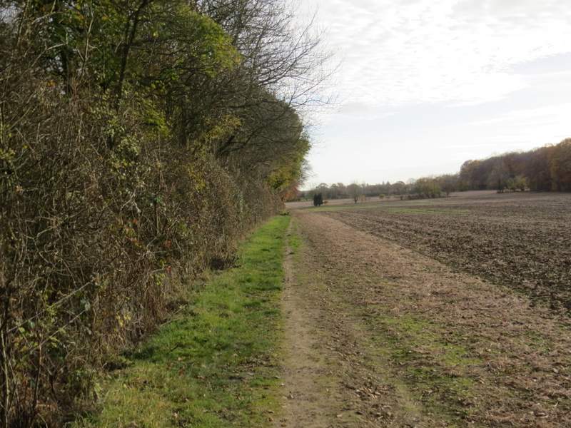
The path continuing towards Asheridge Farm
The path continuing towards Asheridge Farm/p>
The path continuing towards Asheridge Farm
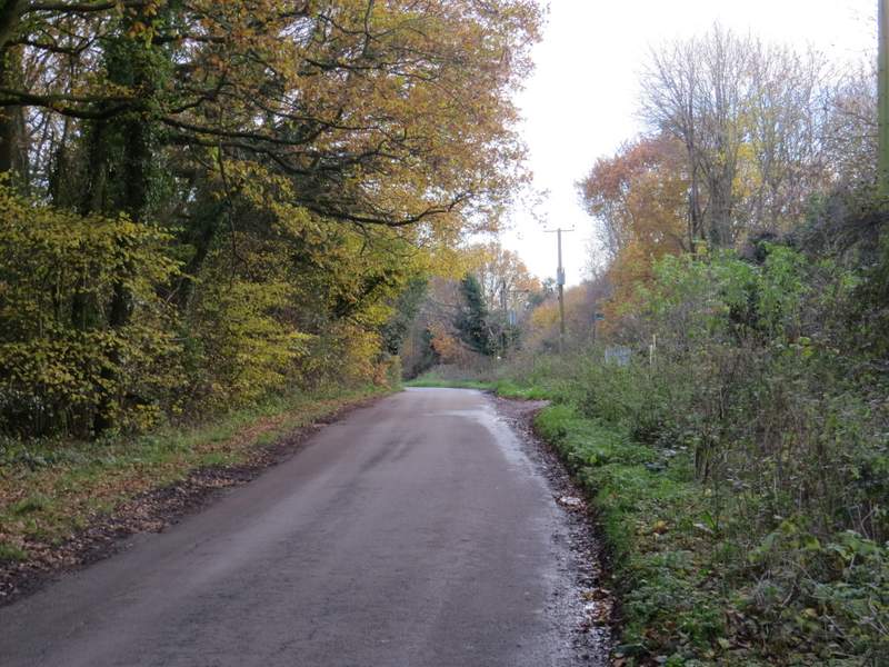
I went straight on down the road, following it through the somewhat scattered settlement of Asheridge for about three-quarters of a mile. I was passed by very few vehicles, and the flat lane made for very easy walking, with occasional views over the pleasant countryside on either side. A hundred yards or so after passing the Blue Ball pub on the left, I took a footpath on the right. This was soon dropping very steeply downhill through an arable field, with nice views ahead and along the valley. The climb up the opposite slope was much gentler and shorter, the path soon reaching the far side of the field, where it went through a hedge gap and followed a hedge on the left of a meadow. The path then went through some bushes, and continued beside a wire fence on my left, with a tall and overhanging hedge on my right. There was now a small valley on my left, and after a few hundred yards the path turned left, dropping the short distance to the valley bottom and continuing up the other side in a 'green tunnel' of overhanging hedges. It then joined a short track which brought me to the road through Chartridge, next to the Misssion Church, where I turned right.
The road through Asheridge
The road through Asheridge
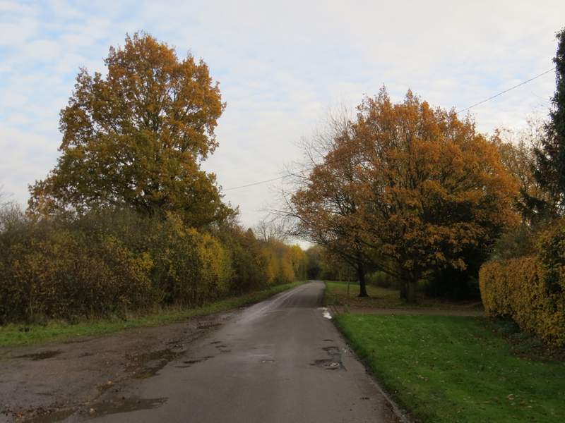
The road through Asheridge
The road through Asheridge/p>
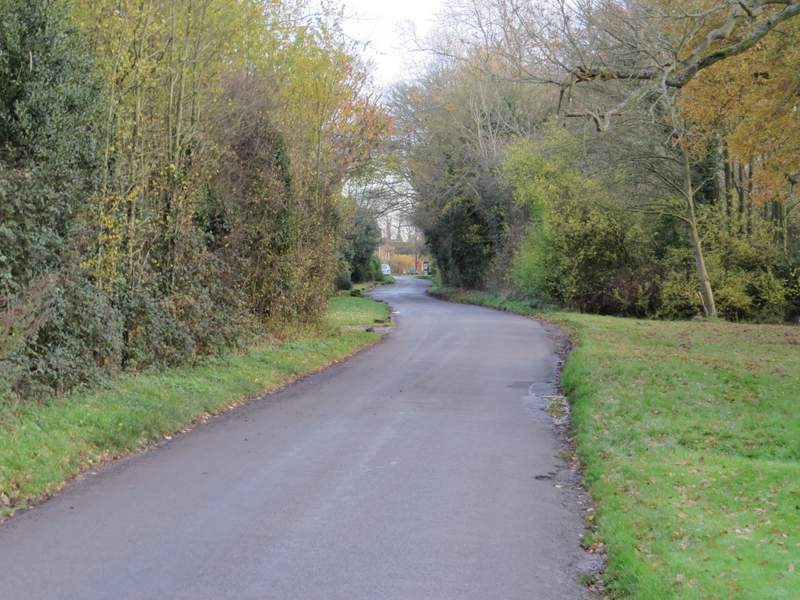
Start of the path from Asheridge to Chartridge
The path from Asheridge to Chartridge
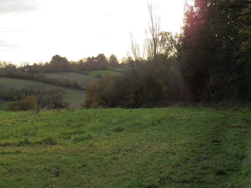
View right from the path from Asheridge to Chartridge
The path from Asheridge to Chartridge
The path from Asheridge to Chartridge
Looking back along the path from Asheridge to Chartridge
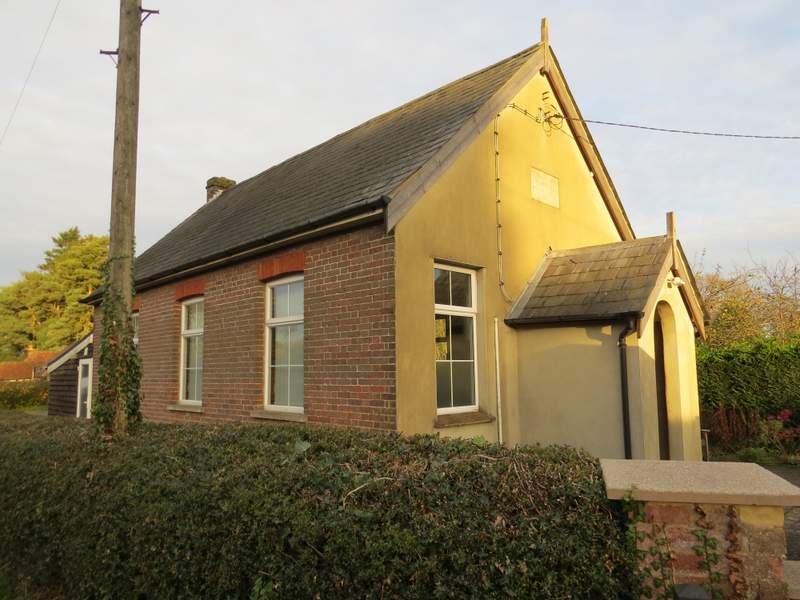
The Mission church at Chartridge
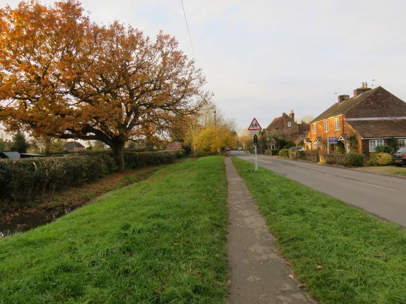
The road through Chartridge