Pete's Walks - Coombe Hill and Kingsash (page 3 of 6)
If you are considering walking this route yourself, please see my disclaimer. You may also like to see these notes about the maps and GPX files.
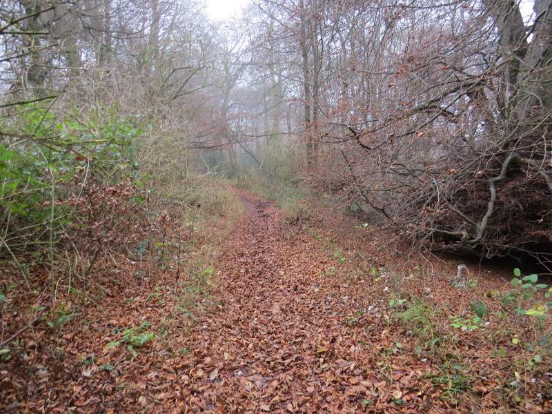
After almost a mile, I turned left along a broad gap through the woods (this was just before the path I'd been following started to go downhill). This brought me to another section of the Ridgeway, in a deep gulley running up the wooded hillside. I crossed it and decided to follow the public footpath on the other side, rather than the path I usually take which goes straight on just inside the edge of the wood. The footpath turned right and followed the top of the gulley for 20-30 yards, then bore left through the wood. Plentiful white arrows showed the way between the trees, and after a while I came to a junction where I went straight on along the Ridgeway, which had rather pointlessly gone down the hillside only to come back up again (the other path that I usually take arrives at the same junction).
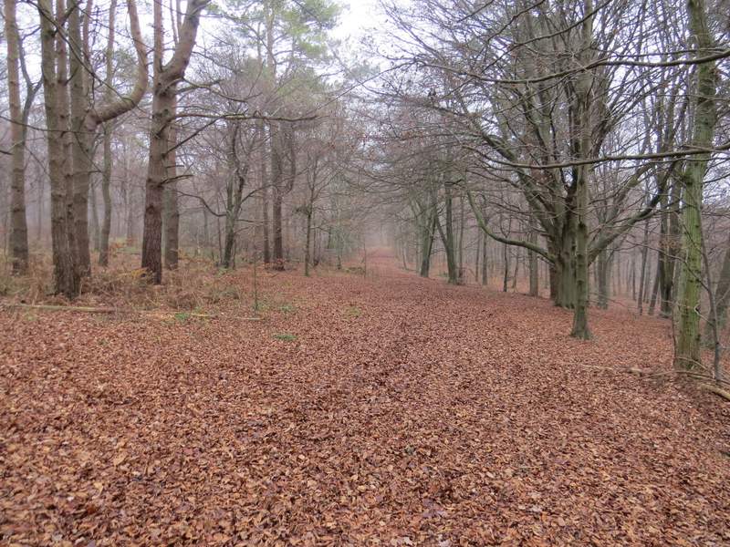
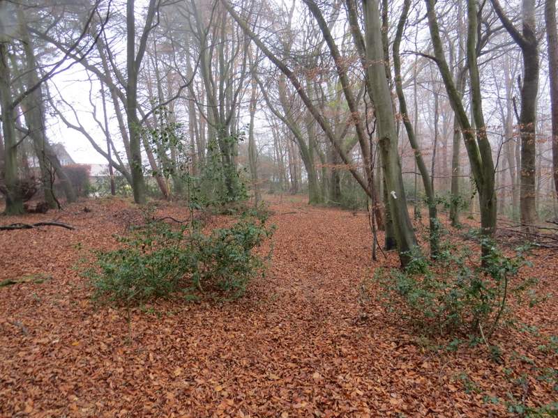
The broad gap through the trees, after I finally turned left from the long path south through Wendover Woods
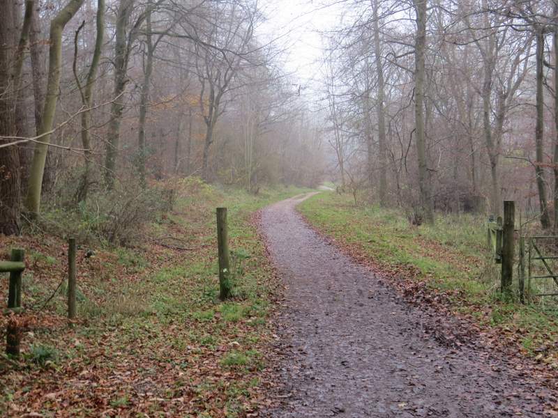
Approaching The Ridgeway
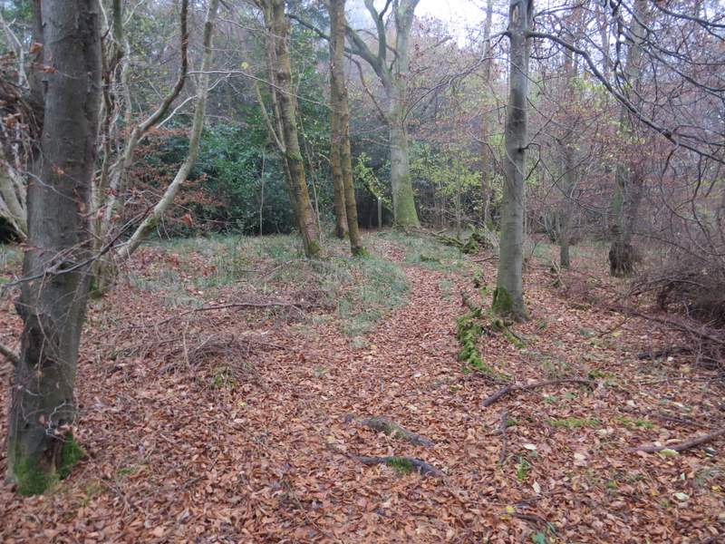
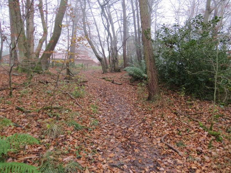
The footpath on the other side of The Ridgeway
The footpath on the other side of The Ridgeway
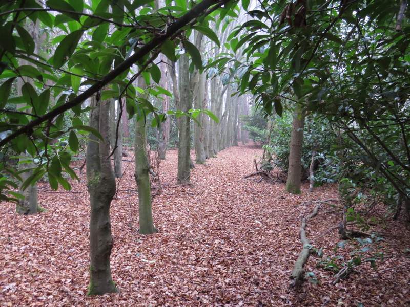
Back on the Ridgeway
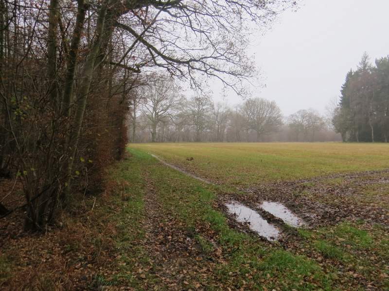
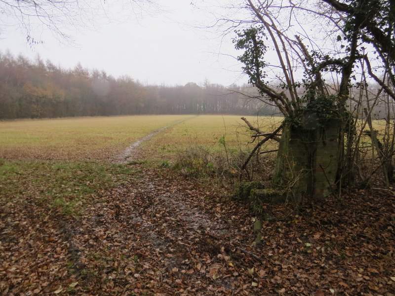
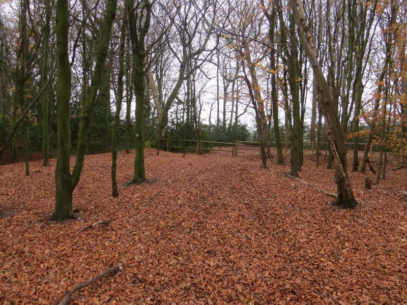
I soon reached Hale Lane, where the Ridgeway went a few yards right then contined along a bridleway through what was now Hale Wood. After two or three hundred yards, I turned half-left onto another path that followed waymarks through the wood (I had to fight my way past a fallen tree at one point) to reach the corner of a driveway, where the path went a few yards right before turning left. I then soon came to a path crossroads, where I turned left. This path soon left Hale Wood by some old walls and the garden of a property on my left, continuing a short way beside a hedge on my left. The path then continued across part of a field to reach a tree belt, running along the line of an ancient earthwork named Grim's Ditch.
The Ridgeway, on the other side of Hale Lane
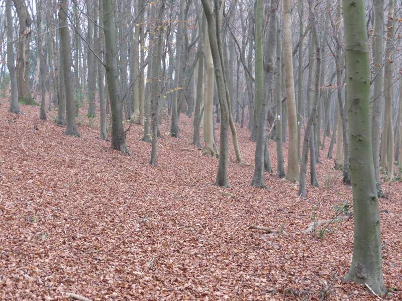
The start of the path forking left from the Ridgeway
The path forking left from the Ridgeway
The path forking left from the Ridgeway
The path after I turned left at a path crossroads in Hale Wood
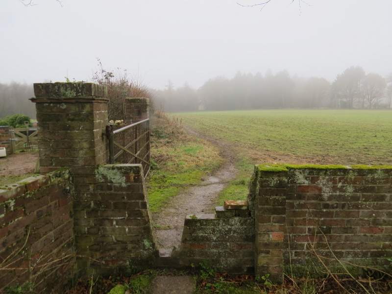
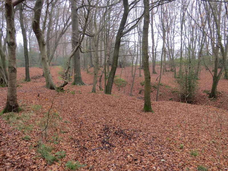
The same path as it leaves Hale Wood (Grim's Ditch is in the trees on the other side of the field
Grim's Ditch
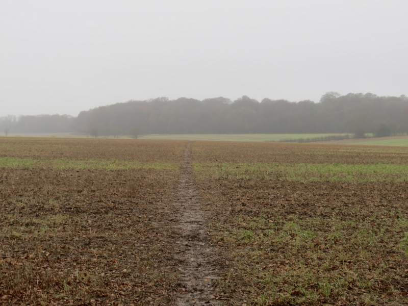
I went straight on through the tree belt, crossing another path, and continued along the edge of a stubble field, with Baldwin's Wood on my left. The path then crossed a similar field, before going through a small corner of Baldwin's Wood and then crossing a much larger stubble field. There are usually nice views here, but not in these very grey conditions - at this point there was actually a bit of rain or drizzle, not just mist.
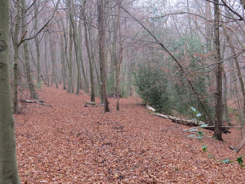
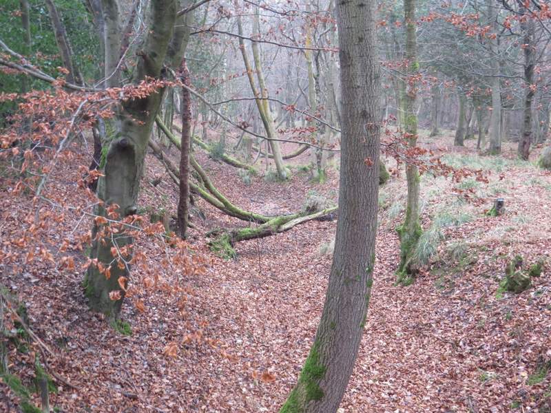
The path continuing the other side of Grim's Ditch
The path continuing the other side of Grim's Ditch
The path continuing the other side of Grim's Ditch
The path continuing the other side of Grim's Ditch (I turned right behind the next hedgerow)