Pete's Walks - Chenies and Ley Hill (page 2 of 5)
If you are considering walking this route yourself, please see my disclaimer. You may also like to see these notes about the maps and GPX files.
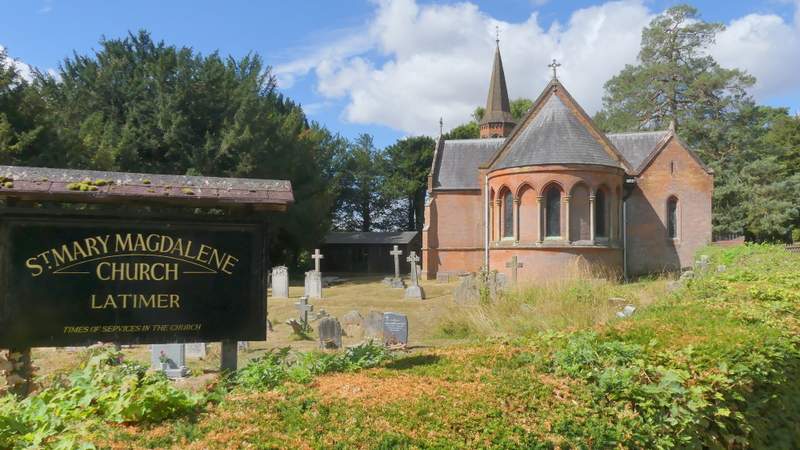
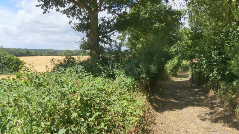
I turned left to enter the village of Latimer, turning left again when I reached the triangular green (like the one at Chenies, it has an old pump). Just past the end of the green, I carefully crossed over and took a footpath on the other side. This ran between garden fences and hedges, then crossed a large grass area (not sure if it's a meadow or part of a large garden) to reach a lane, where I turned right to head northwards from Latimer. I soon passed the village church on my left, and further along the lane I had a nice view on my right towards the valley of Flaunden Bottom, where I'd be later on. I continued along the lane when a footpath went left immediately after a large entranceway on my left, then maybe three hundred yards later I took a second footpath going half-left.
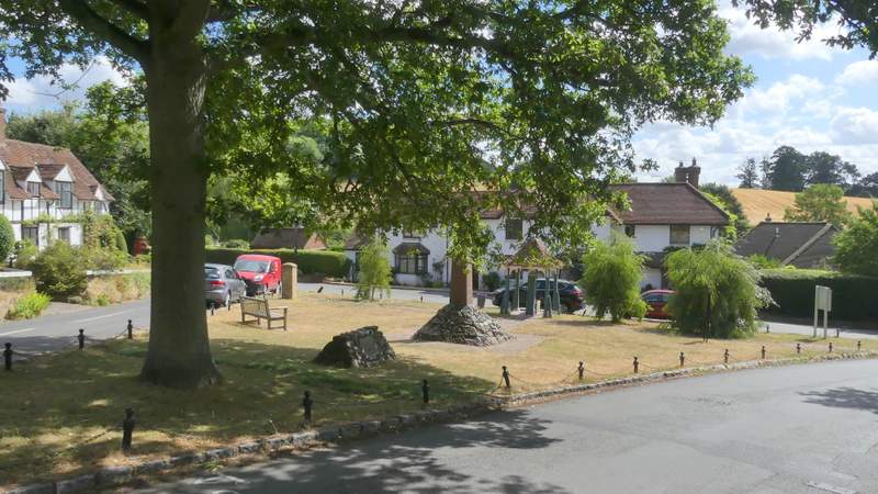
The triangular green at Latimer
The path from Latimer
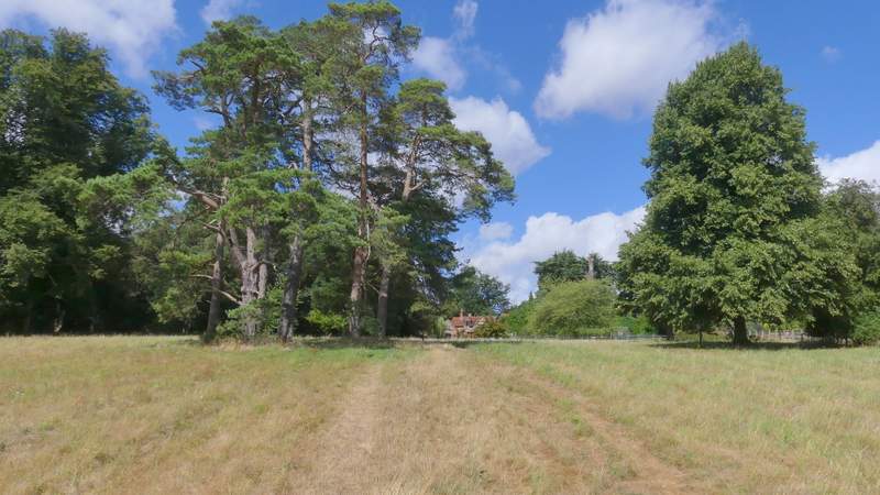
No caption required!
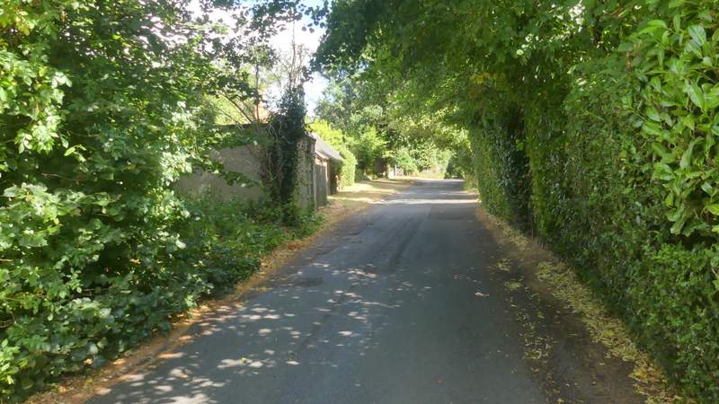
The lane going north from Latimer
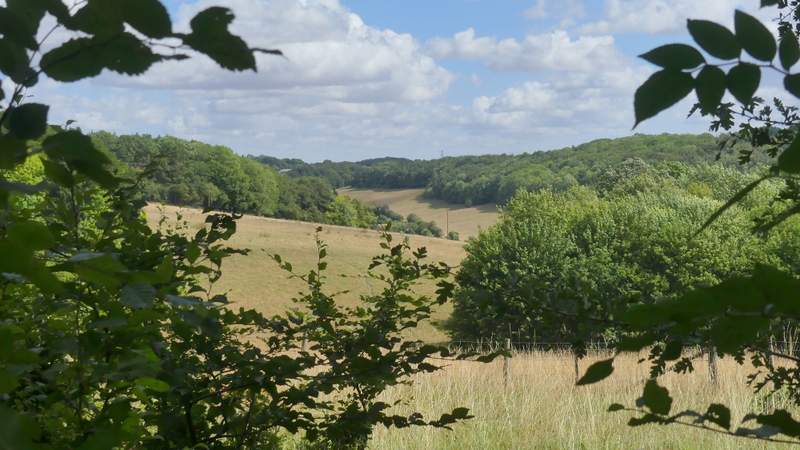
View right from the lane - the valley is Flounden Bottom, where I would be later on in the walk
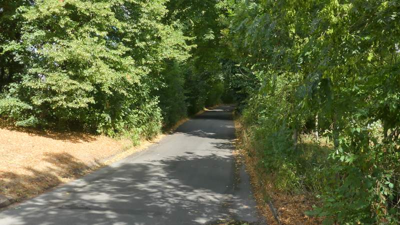
The lane going north from Latimer (taken from where a footpath goes left by an entrance to Latimer House)
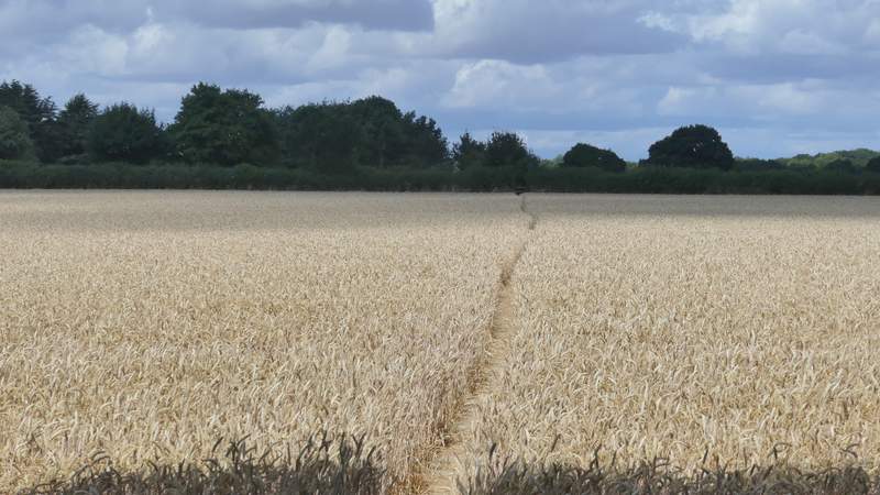
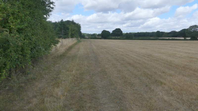
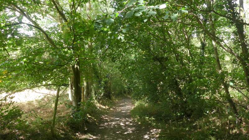
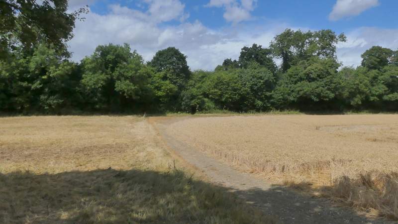
The path crossed a very large field of stubble to reach Codmore Wood, then continued through the wood for three or four hundred yards (the OS map shows I needed to keep left at a path fork just inside the wood, but I failed to notice any such junction). The path then crossed a corn field to reach Blackwell Hall Lane. Across this, the path ran along the left edge of a field of stubble to reach a second lane, where I turned left.
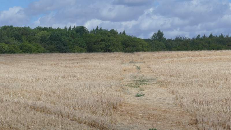
The path to Codmore Wood
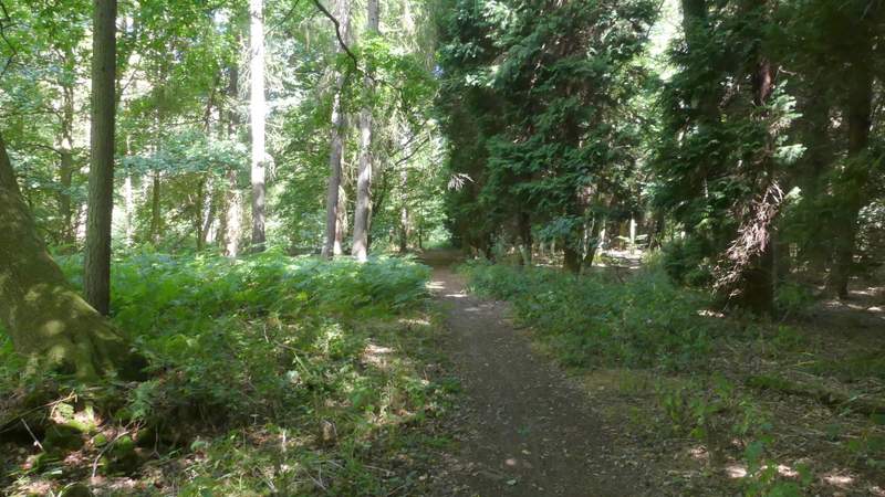
Codmore Wood
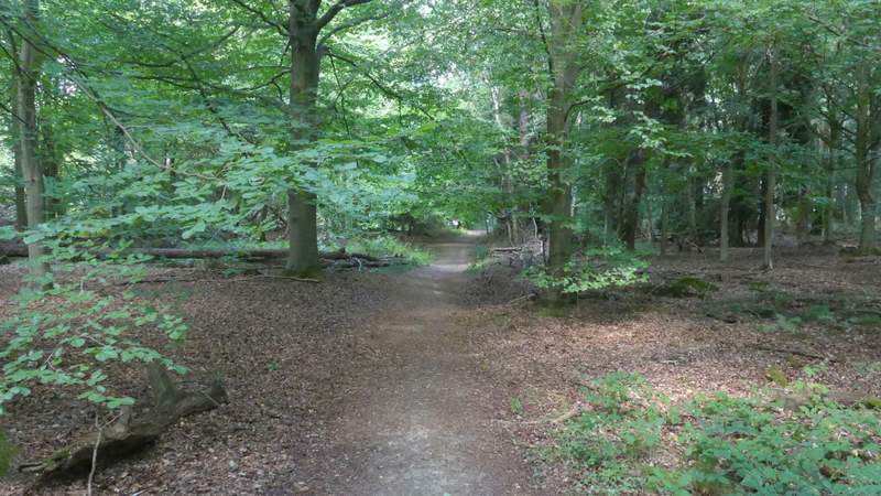
Codmore Wood
The path continuing from Codmore Wood
The path after crossing the first lane
The second lane, where I turned left
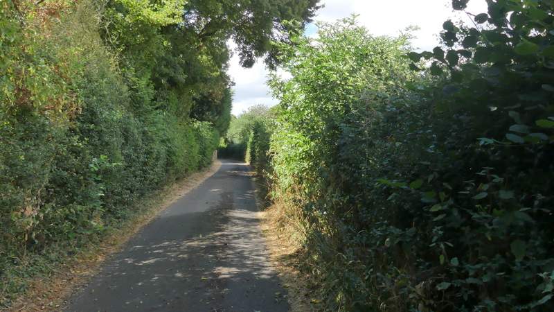
Where this lane soon turned half-left, I took a bridleway named Green Lane on the right. This started along a concrete farm drive, but soon went through a gate and continued between hedges either side, with occasional views on my left towards the Chess Valley. After about half a mile another bridleway came in on the left - there were again views here over the Chess Valley and towards Chesham Bois. I continued along Green Lane, which soon turned right and then left before dropping downhill. Near the bottom of the slope I took a path on the right (I didn't see a sign or waymark, but there was the remains of an old stile), which cut across the corner of a corn field to reach a similar hedge-lined bridleway called Bottom Lane (if I'd missed this path, I could have just turned into Bottom Lane where it met Green Lane a few yards further on).
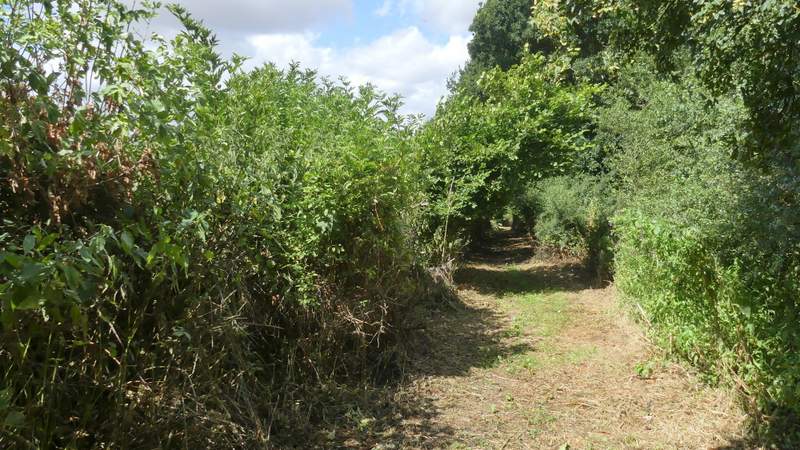
Green Lane
Green Lane
Green Lane
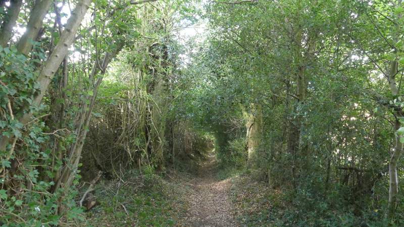
Green Lane, now dropping downhill
The short path between Green Lane and Bottom Lane