Pete's Walks - Chenies and Ley Hill (page 3 of 5)
If you are considering walking this route yourself, please see my disclaimer. You may also like to see these notes about the maps and GPX files.
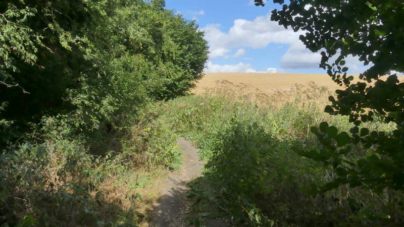
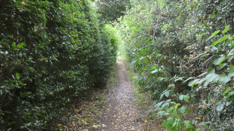
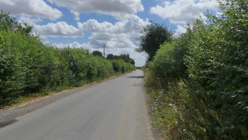
I followed Bottom Lane for almost a mile, ignoring a few paths or bridleways going off either side. Eventually I reached a lane, where I crossed over and continued along a bridleway named Broomstick Lane, now with garden boundaries to my left.
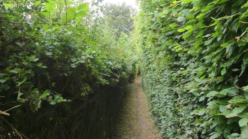
Bottom Lane
Bottom Lane
Bottom Lane
Bottom Lane
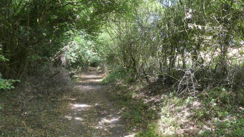
Broomstick Lane
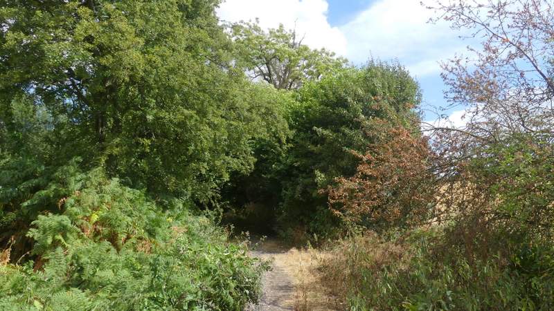
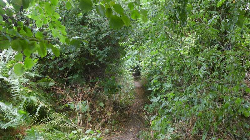
After about three hundred yards I took a path on the right, starting at a metal kissing-gate, and followed a hedge on my right through a small enclosure and then a pasture to reach Cowcroft Wood. After a short distance, the path turned left (by a large dell, an old chalk or clay pit probably, on the right). I then kept left at a path fork and then went straight on at a path crossroads. I then ignored a footpath going left (not shown on the OS map - the paths in this wood are confusing and don't seem to always agree with the OS map). I then came to an apparent T-junction where I went left (the clear path going right is not on the OS map). The path then followed a hedge past some paddocks on my right and then continued down an alley into Ley Hill.
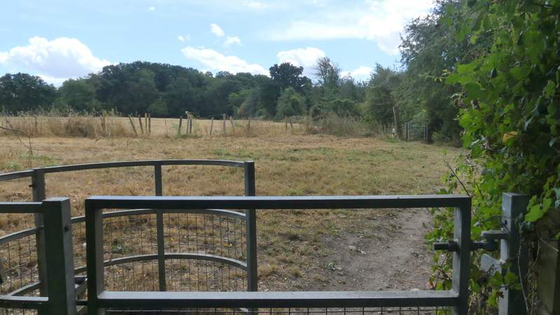
The path from Broomstick Lane to Cowcroft Wood
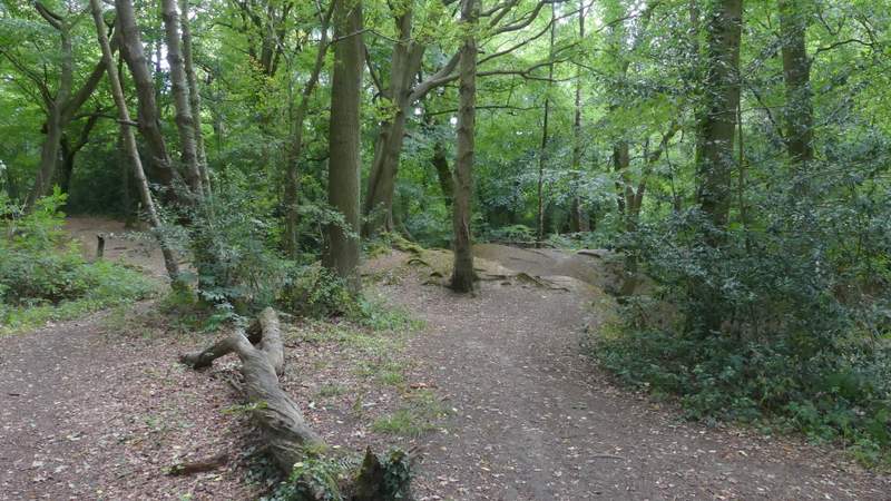
Cowcroft Wood (where the path turns left)
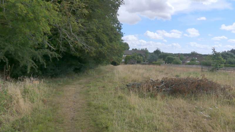
The path from Cowcroft Wood into Ley Hill
The path from Cowcroft Wood into Ley Hill
At the end of the alley I turned right down a stony track, parallel to a road on my left. I then made my way to a junction where the road effectively split in three (not counting the tarmac drive to a pub on the right). I took the middle road, with a cricket pitch to my let and part of a golf course on my right. I followed the road for about half a mile, then took a bridleway going to Flaunden Bottom on the left (close to where the road turned right).
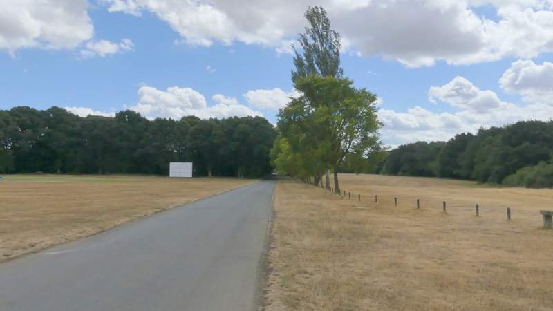
The road through Ley Hill
The road through Ley Hill
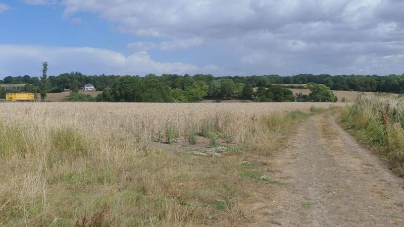
Start of the bridleway to Flaunden Bottom