Pete's Walks - Cadmore End, Radnage, Crowell Hill (page 3 of 6)
If you are considering walking this route yourself, please see my disclaimer. You may also like to see these notes about the maps and GPX files.
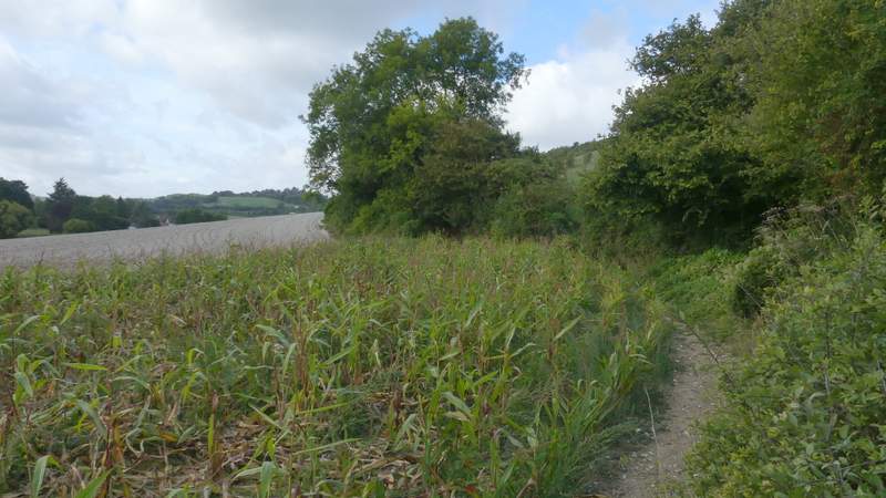
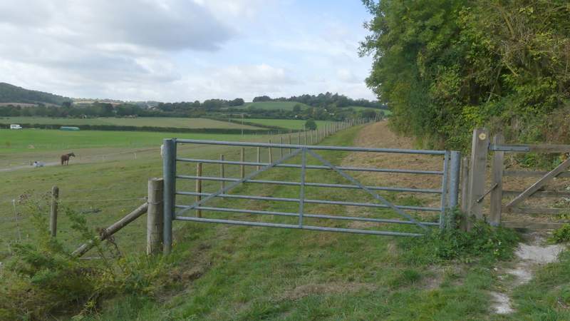
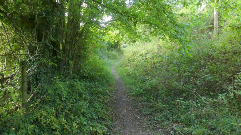
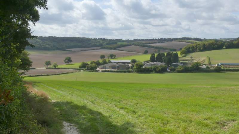
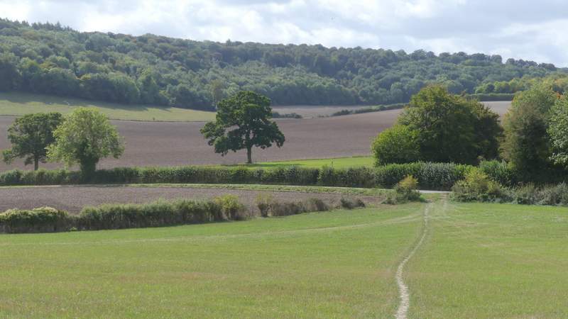
At the bottom of the slope, the path turned right to run along the valley (parallel to Bottom road across the field to my left). The path should run between a fence and a hedge here, but it was so overgrown in places that I was sometimes forced to walk along the edge of the ploughed field here. In the next field the path was clear however, and then through a gate the path continued alongside Yoesden Wood on my right. After a while the path departed from the wood, heading through long grass to reach a path junction at a gate. Through the gate I went half left across a couple of fields to reach Radnage church.
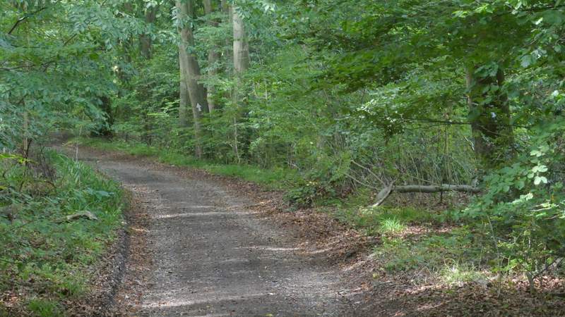
The path continuing along the valley
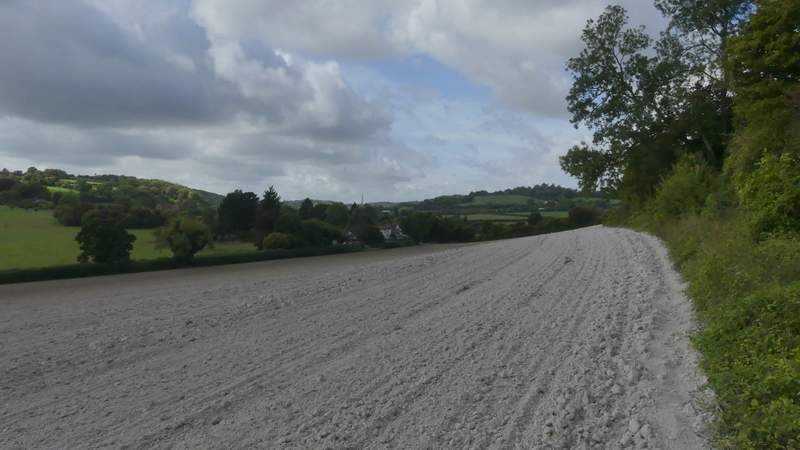
The path continuing along the valley
The path continuing along the valley
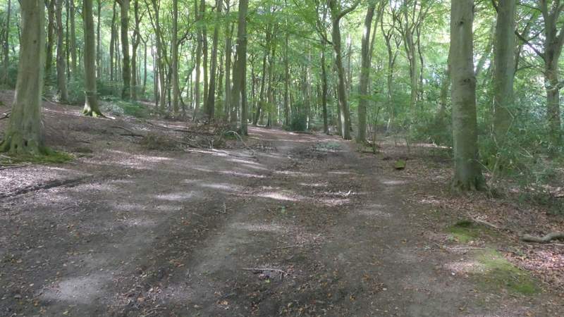
The path continuing past Yoesden Wood
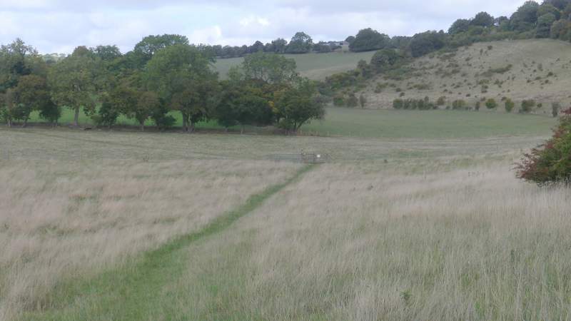
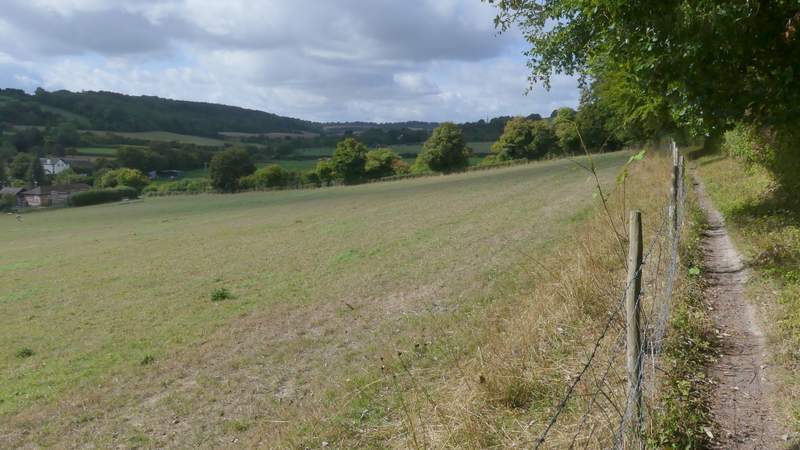
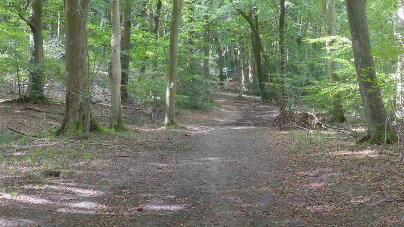
The path approaching the junction where I went left towards Radnage Church (the hillside on the right is part of Yoesden nature reserve, where I go to look for Adonis Blue butterflies)
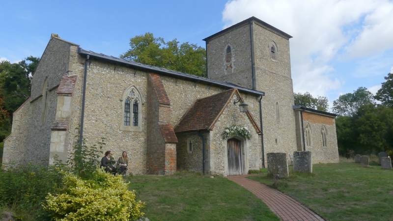
Radnage Church
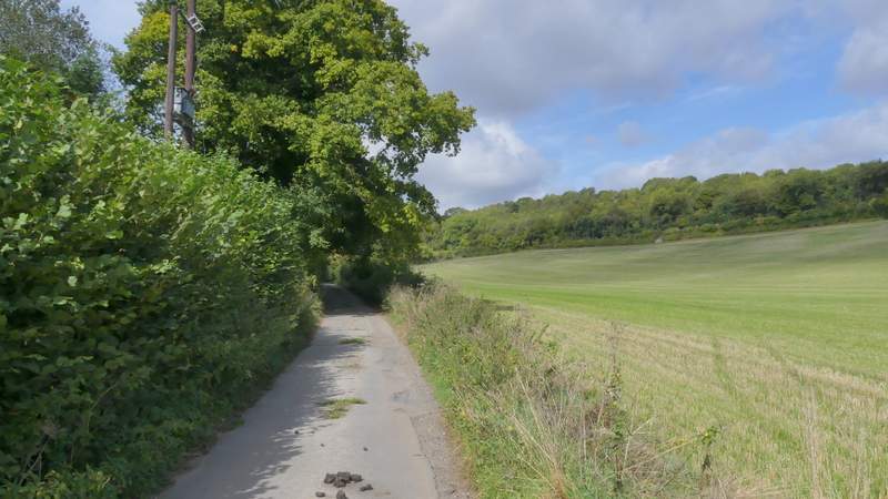
Having walked through the churchyard, passing the church on my right, I crossed a lane and continued along a path through the middle of a meadow to reach another lane. I turned left, then went right at a lane junction in Town End, another of the hamlets within the parish of Radnage. The lane led slightly uphill, and after two or three hundred yards I took a footpath on the right (just before a property), which led uphill to some properties around Andridge Farm. Here I crossed a drive, the path now turning left between a hedge and a tall fence to reach a hedge gap, where there was a nice view ahead of me. The path now followed another hedge on the left for a few yards before bearing right and descending across a corn field to reach Grange Farm Road opposite a farm.
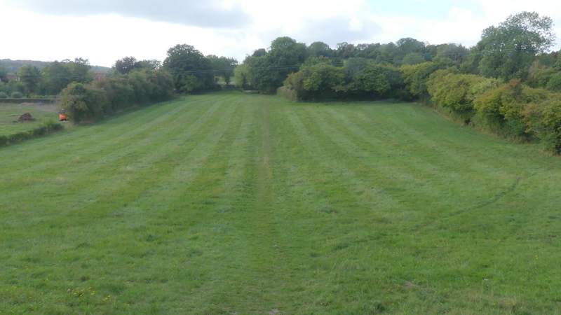
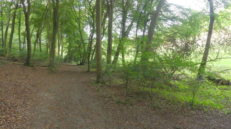
The path across the lane from Radnage Church
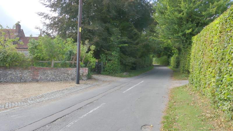
The lane after I turned right in Town End, Radnage
The start of the path up to Andridge Farm
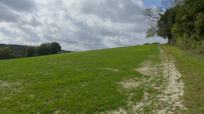
The path up to Andridge Farm
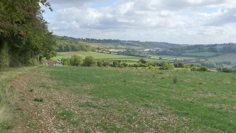
Looking back from near Andridge Farm
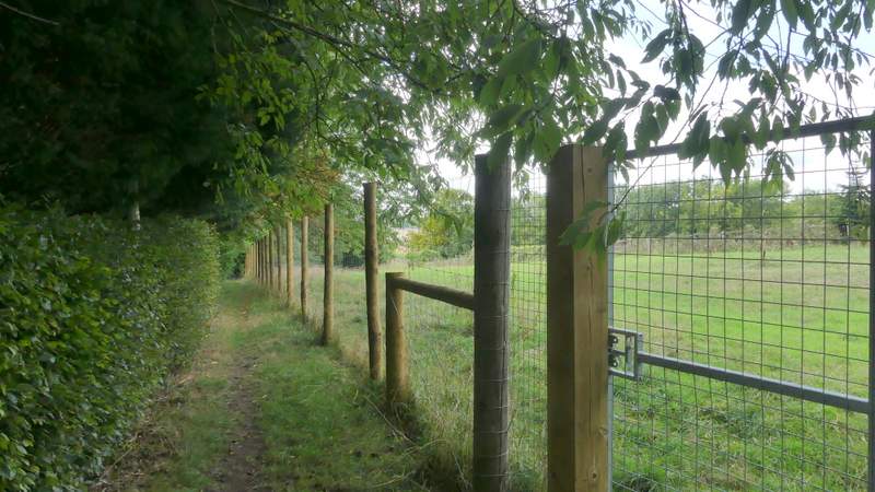
The start of the path down from Andridge Farm to Grange Farm Road
The path down from Andridge Farm to Grange Farm Road
The path down from Andridge Farm to Grange Farm Road
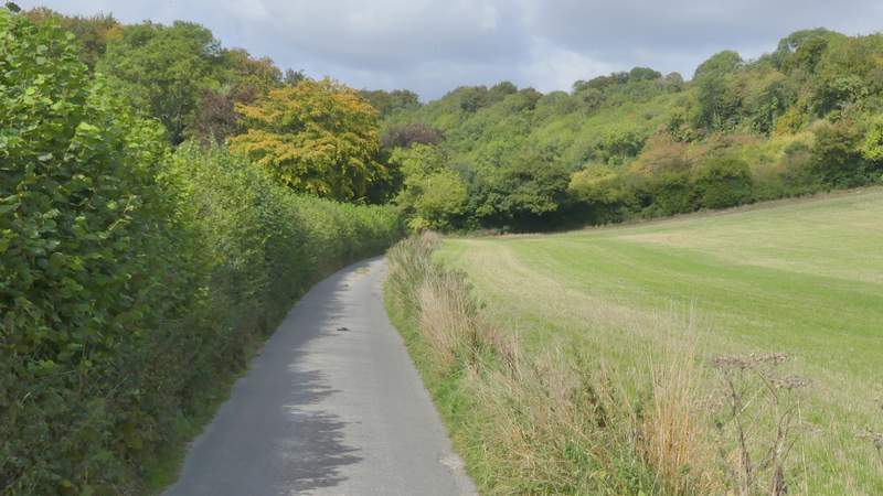
I turned right along Grange Farm Road (which is just a lane), following it for about a quarter of a mile until it reached Crowell Wood, where a bridleway forked left from it, running just inside the northern edge of the wood with fields nearby on my right.
Grange Farm Road
Grange Farm Road
The bridleway along the northern edge of Crowell Wood
The bridleway along the northern edge of Crowell Wood
The bridleway along the northern edge of Crowell Wood
The bridleway along the northern edge of Crowell Wood