Pete's Walks - Cadmore End, Radnage, Crowell Hill (page 2 of 6)
If you are considering walking this route yourself, please see my disclaimer. You may also like to see these notes about the maps and GPX files.
The bridleway continued through the wood (whatever its name!), following a curving valley bottom (named Plomer's Bottom on the OS map). After about three-quarters of a mile, at a bridleway junction by a field corner, I went straight on, passing a notice board that told me I was now in the Bottom Wood nature reserve (managed by the Chiltern Society). After another three-quarters of a mile I reached the western end of Bottom Wood, where I turned right onto another bridleway. This was soon running between a hedge on my left and fences on my left. past a couple of fields sloping uphill. On reaching the end of a lane, I turned right and followed the lane through part of 'the City', the largest settlement in the somewhat scattered village of Radnage.
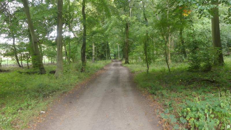
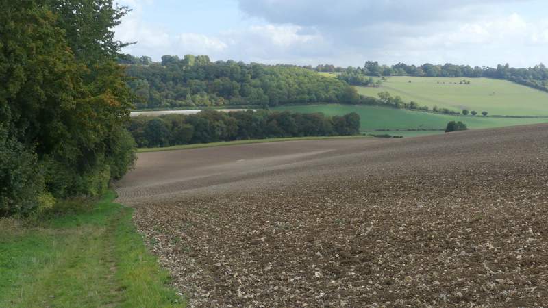
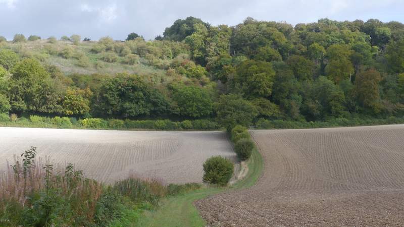
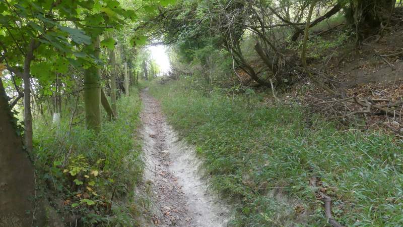
Bottom Wood
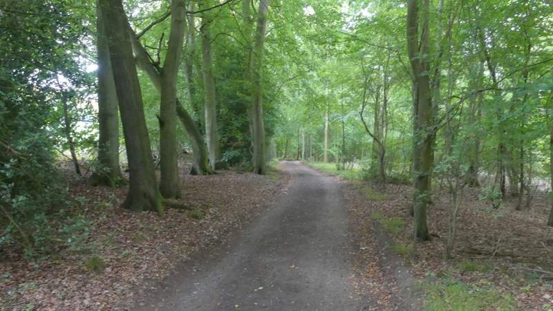
Bottom Wood
Bottom Wood
Bottom Wood
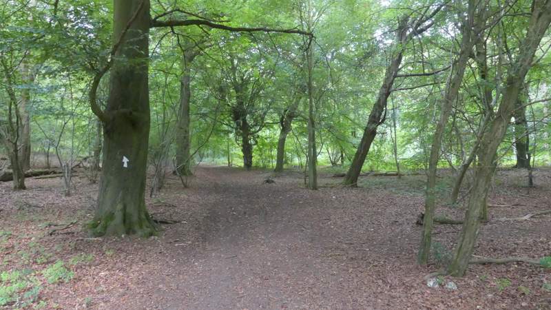
Bottom Wood
Bottom Wood
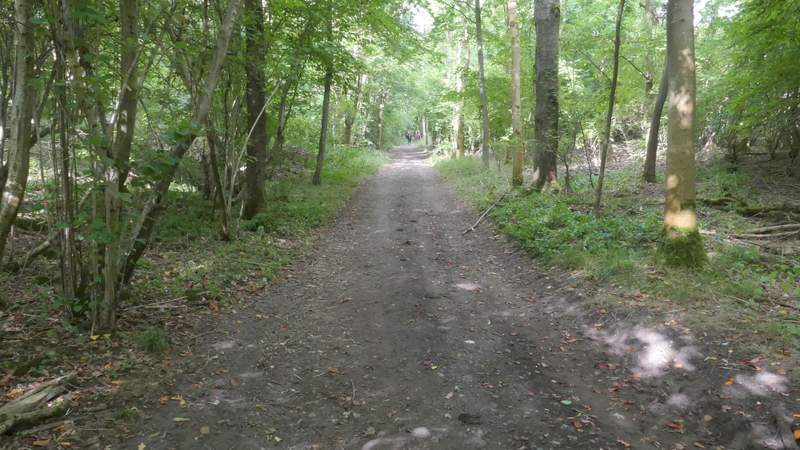
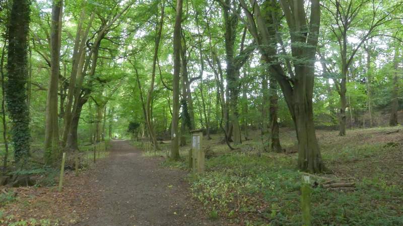
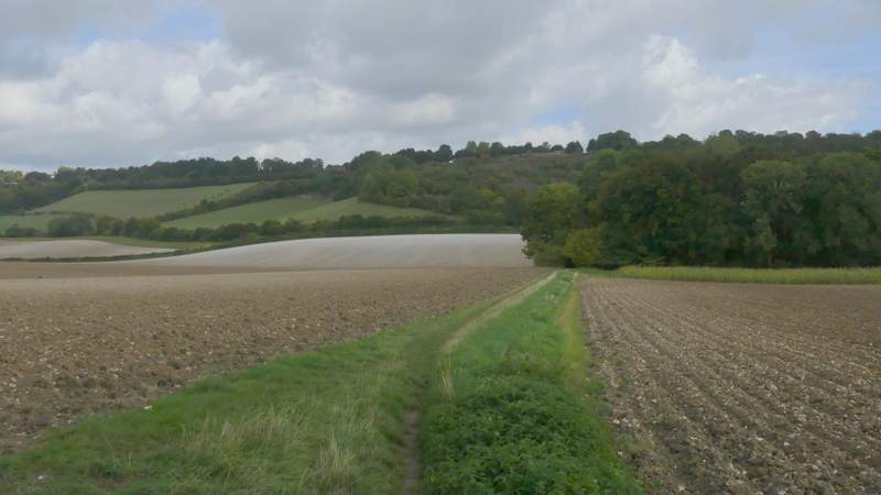
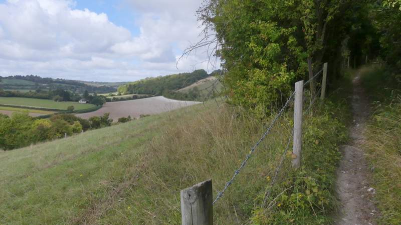
The bridleway after I turned right at the western end of Bottom Wood
The bridleway after I turned right at the western end of Bottom Wood
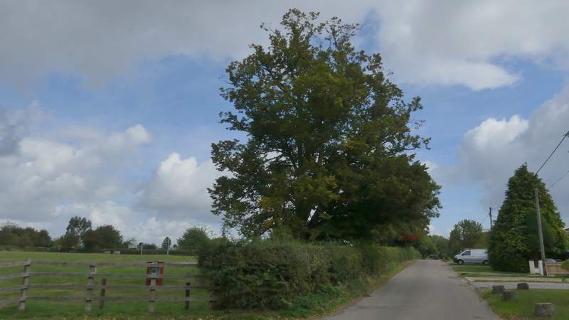
The street through 'The City', Radnage
At the end of the lane, I turned left along a road for a short way before taking a bridleway on the right. Beyond some gardens, this headed steadily downhill, soon passing a small wood on the left. Towards the bottom of the slope, the bridleway ran through the end of another small wood, before continuing beside a hedge on the left to reach Bottom Road. Here I went a short way to the left (NOT taking the path almost opposite) and took a footpath going at an angle up part of the lengthy hill called Bledlow Ridge (the village on the top shares its name). I soon went past a junction where a path went left, then when I was almost at the top of the slope I turned left at a second junction, this path now heading back down the slope.
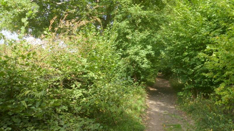
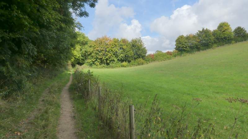
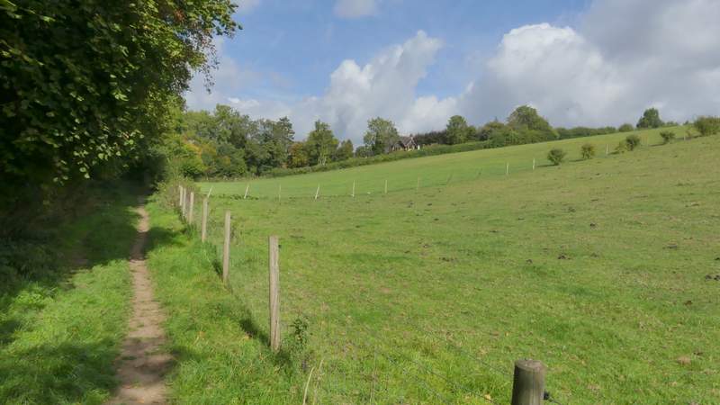
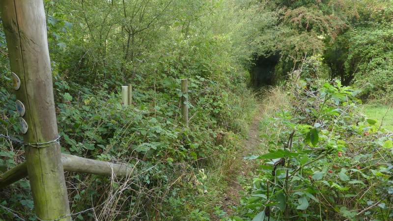
The path from Radnage down to Bottom Road
The path from Radnage down to Bottom Road
The path from Radnage down to Bottom Road, after passing through the narrow wood
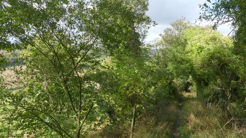
The path climbing up Bledlow Ridge
The path climbing up Bledlow Ridge
The start of the path going down Bledlow Ridge
The path going down Bledlow Ridge