Pete's Walks - Stoke Row, Woodhouse Farm, Checkendon (page 1 of 7)
If you are considering walking this route yourself, please see my disclaimer. You may also like to see these notes about the maps and GPX files.
I did this circular walk of about 14.5 miles on Saturday, 29th September 2018. It was a repeat of a walk I did in April 2016, which I also did in the opposite, clockwise, direction in February 2017
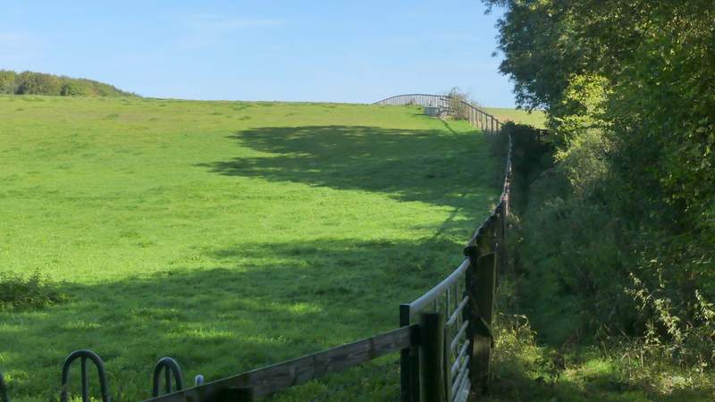
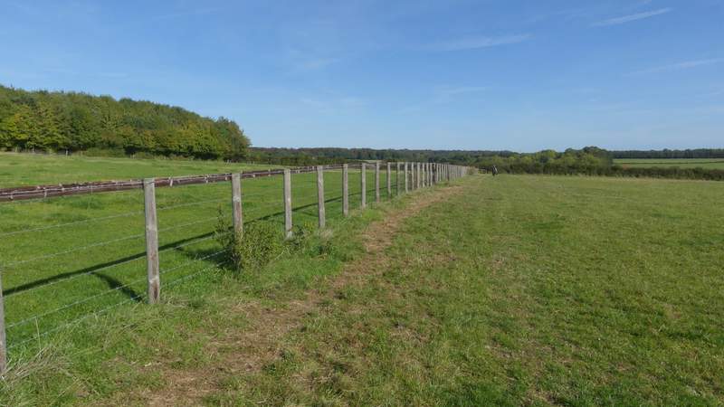
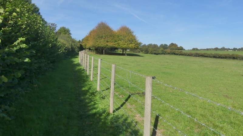
I parked along the road through Stoke Row, close to the Maharajah's Well (Grid Reference SU 679841), and started walking about 10.35am. I took a footpath just a few yards from the Maharajah's Well (and on the same side of the road), which soon brought me to Cox's Lane, where I turned left. Beyond the entrance to Stokerow Farm, on the right, Cox's Lane continued as a byway between tall hedges either side. Almost half a mile from the farm, I turned right onto a footpath, which went over a couple of stiles in rapid succession, then continued along the left edge of a huge horse field (the OS map shows the path running on the other side of the field boundary). On eventually reaching the other side, I turned left along another byway, soon passing Oakingham House on my left (it looks Georgian but is actually modern). The byway then became a lane (Whitcalls Lane), running between tall hedges for about a quarter of a mile to reach a minor road.
The path from near the Maharajah's Well, heading to Cox's Lane
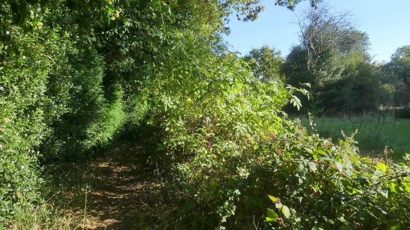
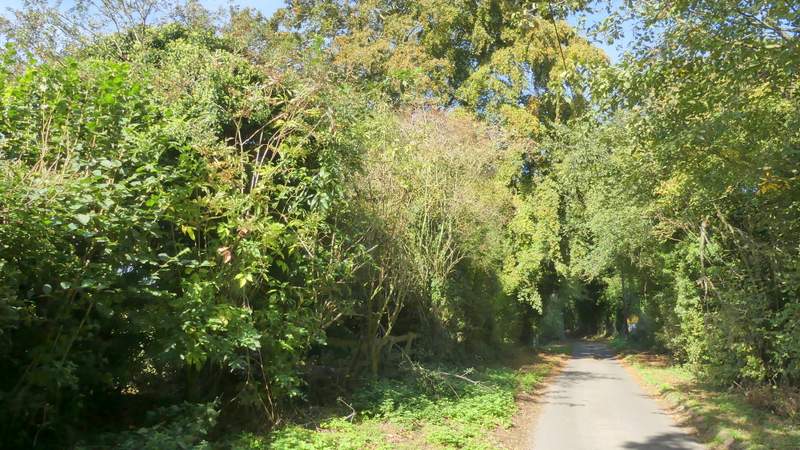
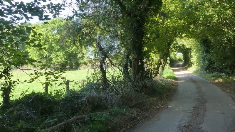
Cox's Lane
Cox's Lane, passing Stokerow Farm
Cox's Lane
Cox's Lane
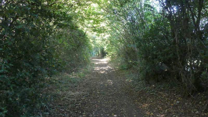
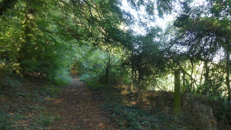
The path after I turned right from Cox's Lane
The path after I turned right from Cox's Lane
The byway, after I turned left
The byway, just after passing Oakingham House
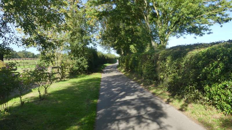
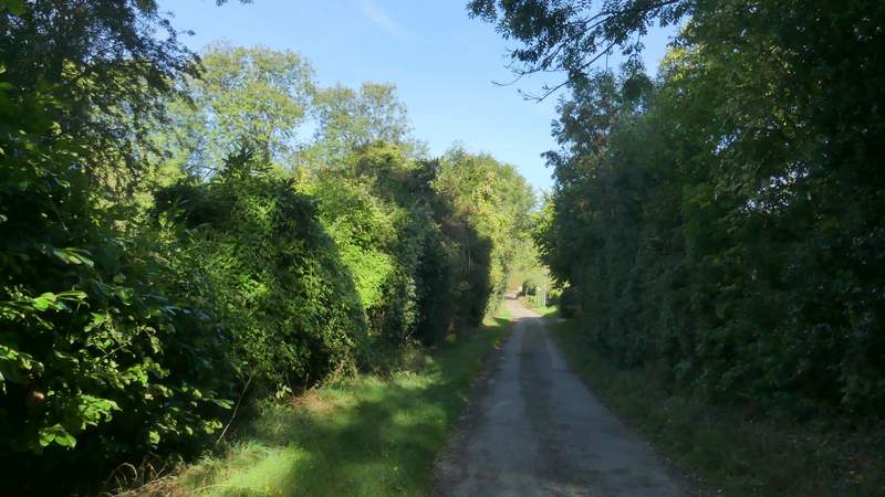
Whitcalls Lane
Whitcalls Lane
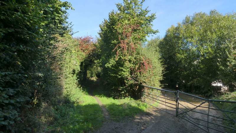
I crossed over and continued down the lane on the other side. Again there were tall hedges either side, affording me only occasional glimpses of the field either side. After about half a mile the lane imperceptibly changed to a byway, and soon there were paddock fences on my right, with a distant view ahead towards the Oxfordshire Plain. Not long after passing Upper House farm, which looks a genuinely old building, I reached Mongewell Woods.
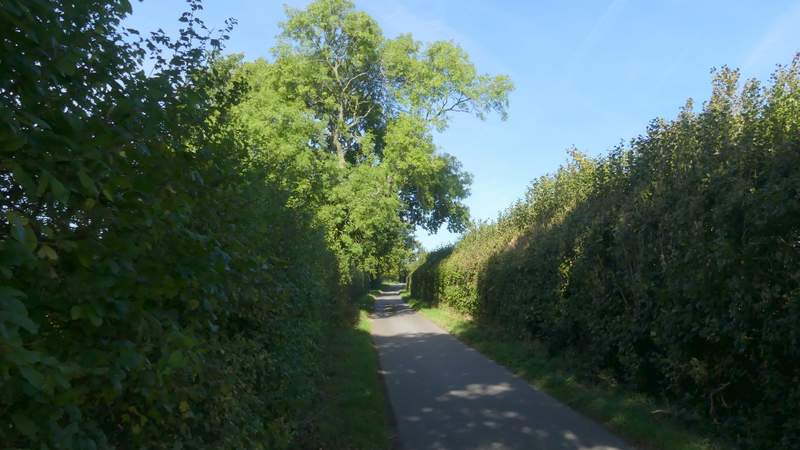
The start of the lane after crossing the minor road
The lane after crossing the minor road
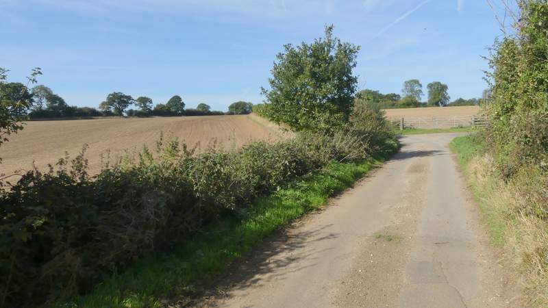
The lane after crossing the minor road
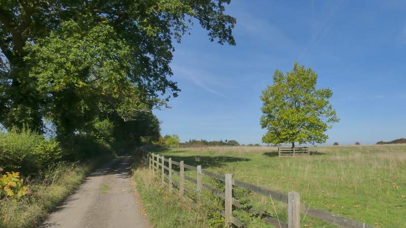
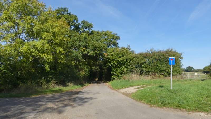
Approaching Upper House Farm, the lane is now a byway
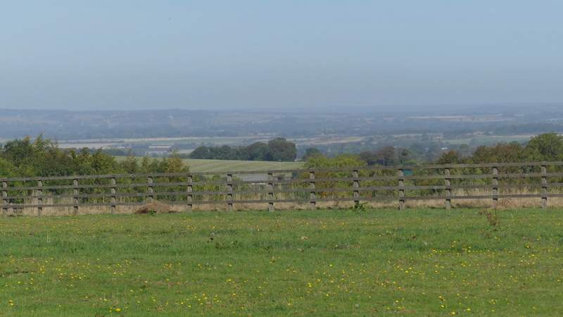
Zoomed-in view towards the Oxfordshire plain, from near Upper House Farm