Pete's Walks - Marsworth, Tring Station, Halton (page 1 of 6)
If you are considering walking this route yourself, please see my disclaimer. You may also like to see these notes about the maps and GPX files.
I did this circular walk of about 14.8 miles on Sunday, 7th October 2018. It was a repeat of a walk I did in December 2012, but in the opposite, clockwise, direction. I also tried to follow this route clockwise in June 2016, but went wrong at one point and slightly shortened the route.
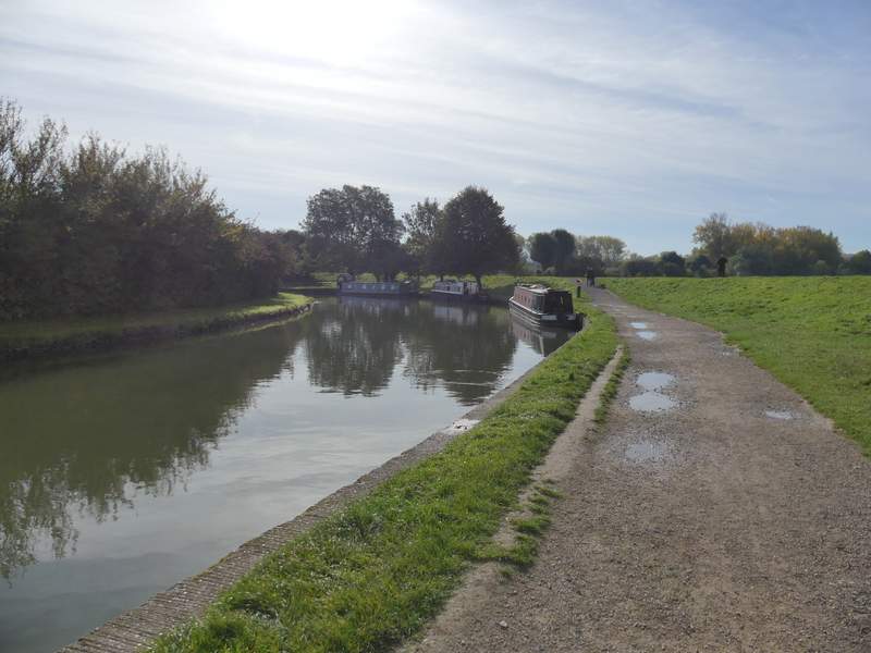
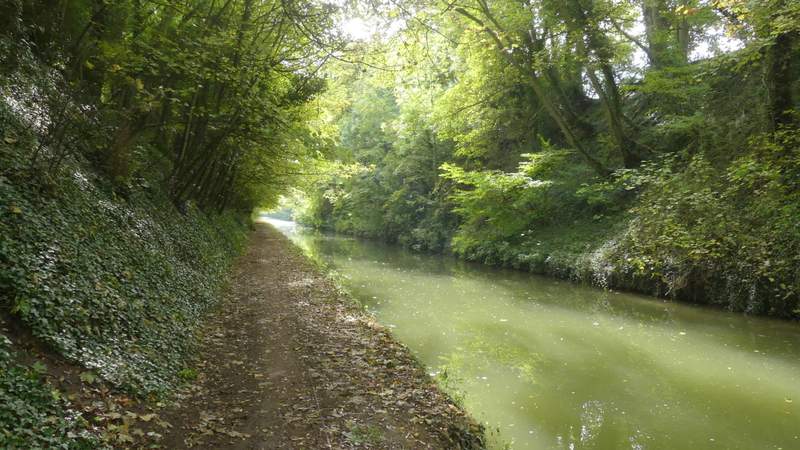
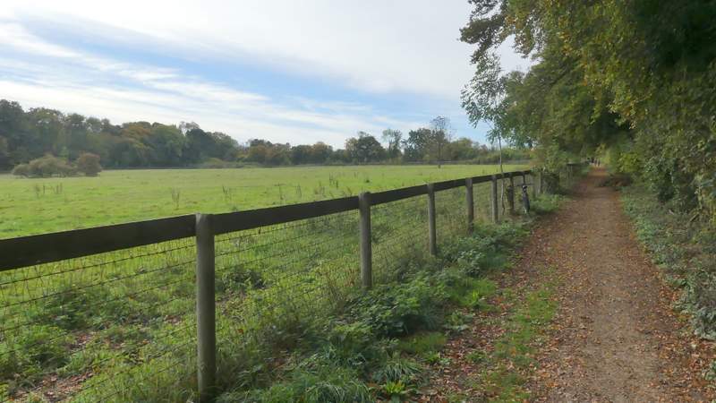
I parked in Marsworth (there is a large car park, but I parked in a side street to avoid paying). From the end of the car park I followed the towpath of the Grand Union Canal, passing Startop's End and Marsworth reservoirs on my right and going by one or two locks on the canal. After three-quarters of a mile or so I crossed a footbridge over the start of the Wendover Arm of the canal (I'd be seeing more of this later on), carrying on along the main part of the canal for a few hundred yards to reach a road bridge at Bulbourne (by the Grand Junction Arms pub, Grand Junction being the original name of this part of the canal).
The towpath just after leaving the car park at Marsworth
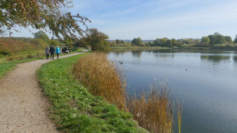
The towpath going past the reservoirs
The Grand Union canal
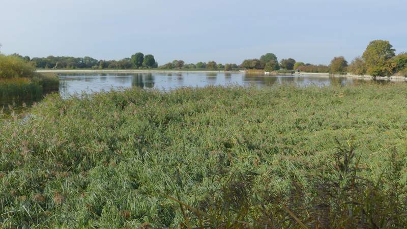
Marsworth Reservoir
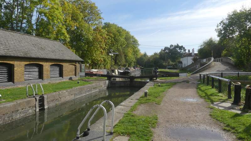
The canal junction at Bulbourne - the footbridge crosses the start of the Wendover Arm of the Grand Union Canal
Approaching Bulbourne
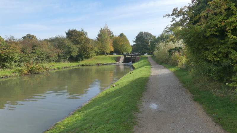
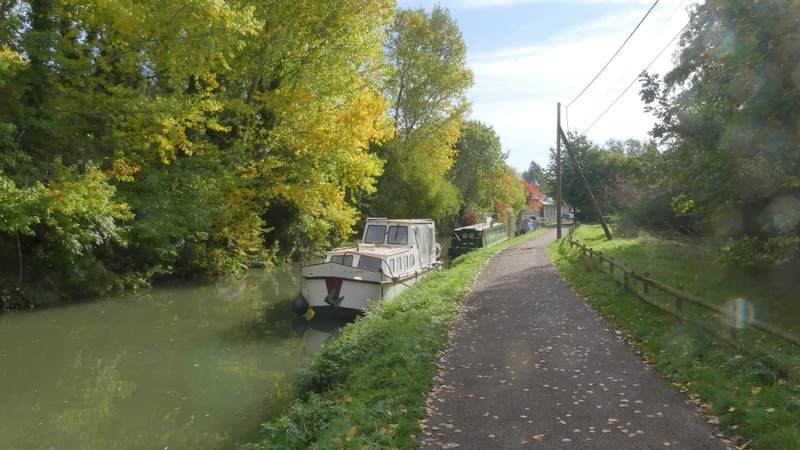
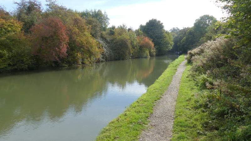
I followed the towpath under the bridge and continued alongside the canal. Soon there was a lengthy straight stretch with tall trees either side of the canal. About three-quarters of a mile after Bulbourne I reached a bridge carrying Marshcroft Lane across the canal - here the towpath switched to the left of the canal. It was then about another three-quarters of a mile along the tree-lined canal to the next bridge, where I left the canal by going up a flight of steps on the left to reach the village of Tring Station.
The Grand Union canal just south of Bulbourne
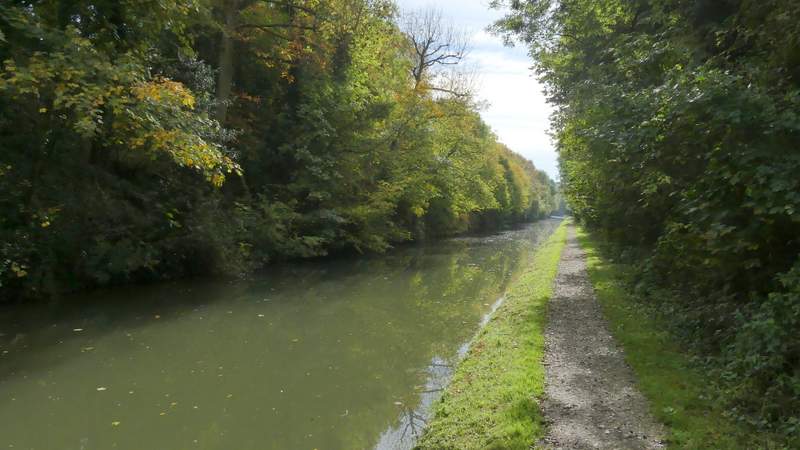
The Grand Union canal
The Grand Union Canal after the towpath switched to the other bank at Marshcroft Lane
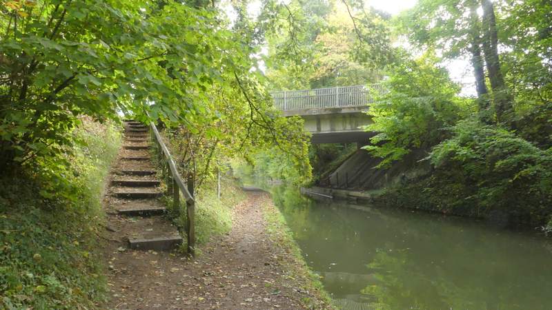
Where I left the canal at Tring Station
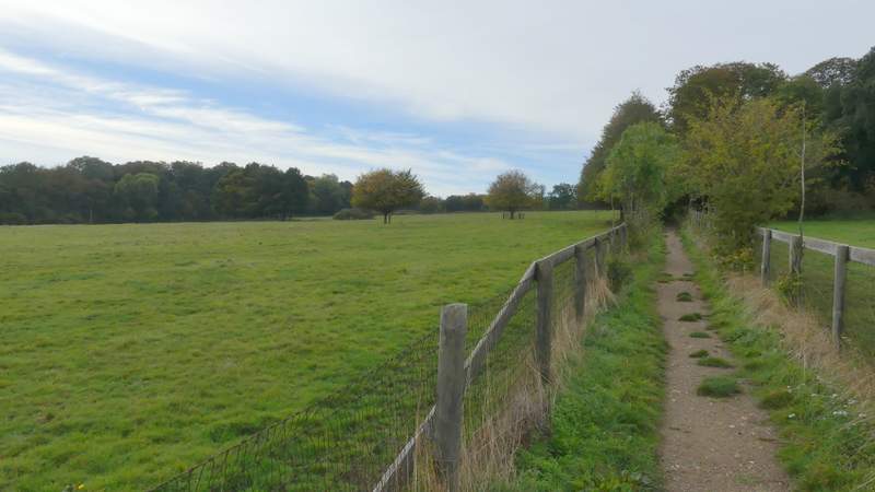
I crossed the road here, went a few yards right and turned left along Beggars Lane. After two or three hundred yards a footpath (part of the Ridgeway national trail) went right, running southwest between fences for about half a mile to reach the A4251 (formerly the A41 before the new dual carriageway, and long before that the Roman Akeman Street). I crossed the road and went a short way right, before the Ridgeway continued along a path on the left, going round two sides of a paddock on my right and then turning left to cross the impressive footbridge over the A41 dual carriageway.
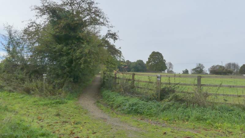
The start of the footpath from Beggars Lane
The footpath from Beggars Lane
The footpath from Beggars Lane
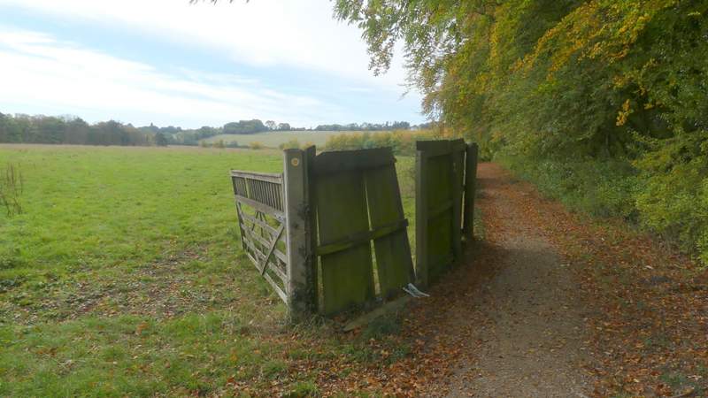
The footpath from Beggars Lane
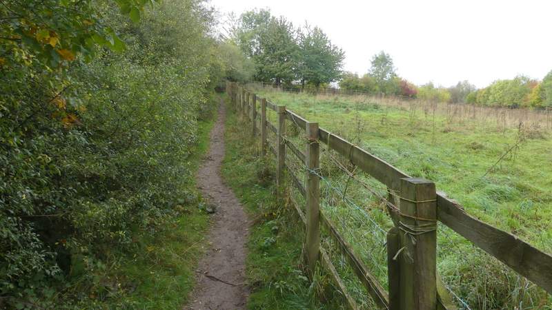
The footpath on the other side of the old A41 (A4251)
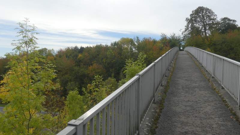
The footbridge across the A41 dual carriageway