Pete's Walks - Marsworth, Tring Station, Halton (page 2 of 6)
If you are considering walking this route yourself, please see my disclaimer. You may also like to see these notes about the maps and GPX files.
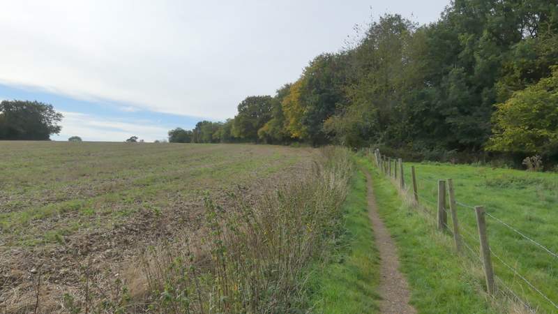
The path continued very gently uphill, between a fence and a hedgerow. Looking back to my left there was a nice view over the Tring Gap, a major communications corridor. The path ended at a minor road called The Twist, where I went a few yards right and continued along a path on the other side. This followed the right edge of a field as far as a kissing-gate where it went right, running between the fence of a paddock and a small wood on my right. The path then followed a hedge on the left past a small meadow, with attractive views over the Vale of Aylesbury on my right.
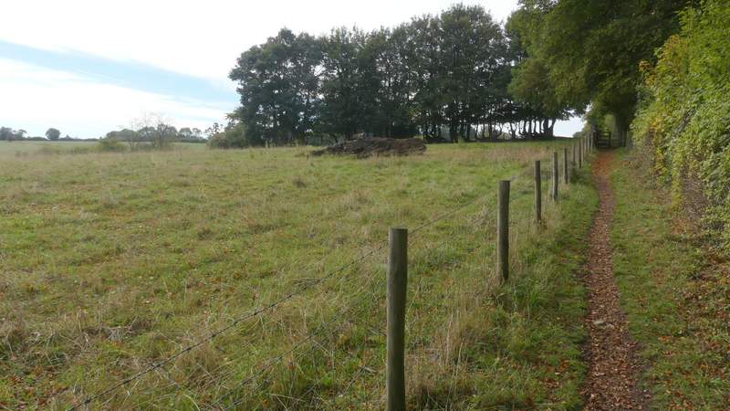
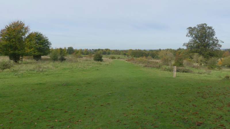
The footpath continuing to The Twist
The footpath continuing to The Twist
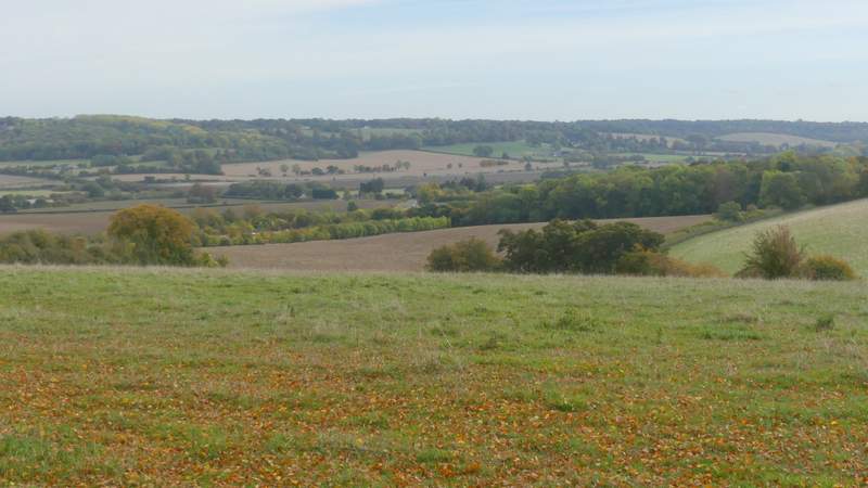
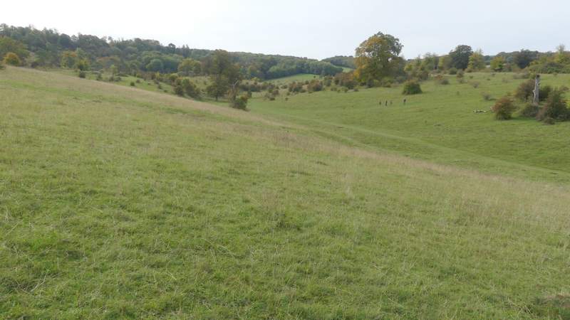
Looking back across the Tring Gap (the A41, the Grand Union Canal and the West Coast Mainline Railway all run through this valley)
The footpath continuing to The Twist
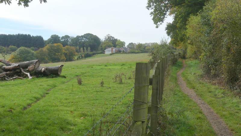
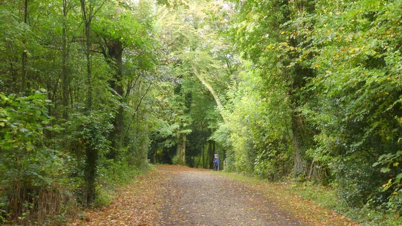
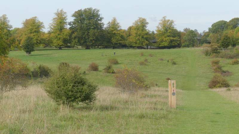
The footpath between The Twist and Wigginton
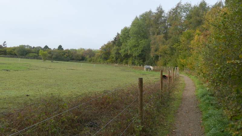
The footpath between The Twist and Wigginton
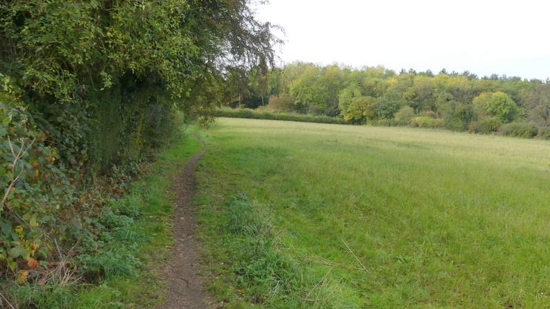
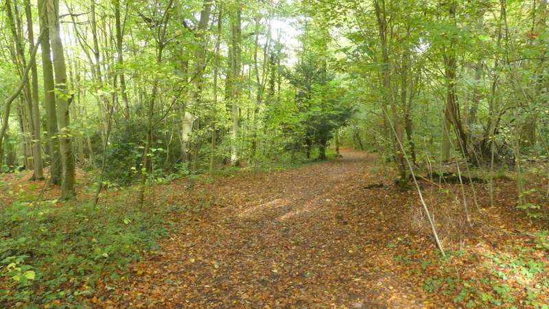
The footpath between The Twist and Wigginton
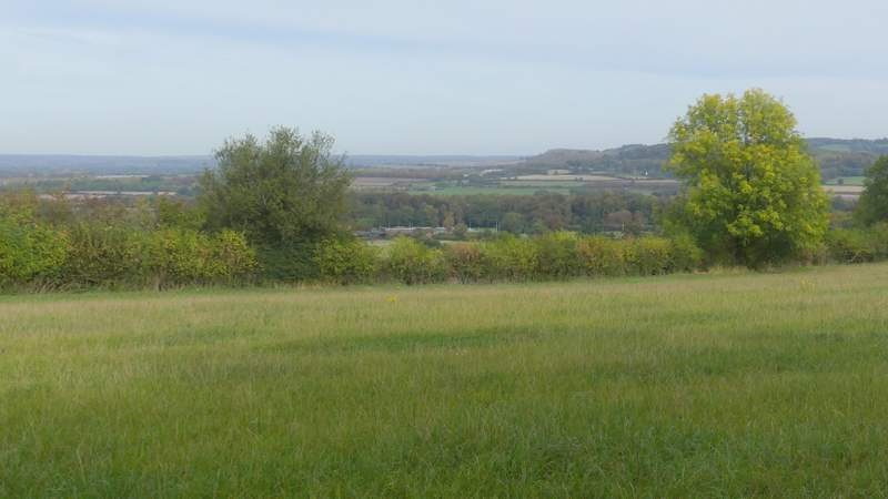
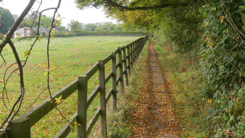
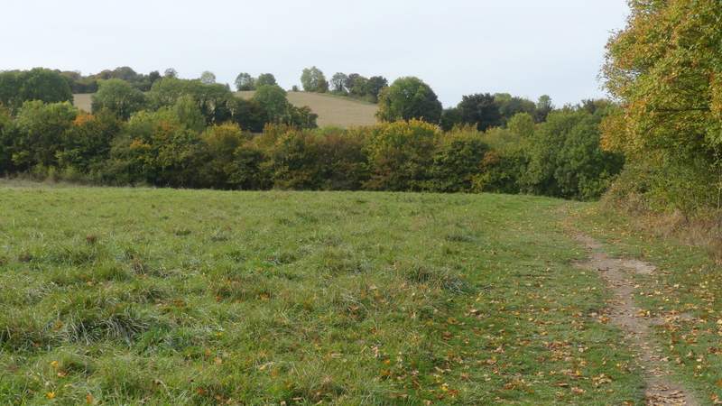
View from the edge of Wigginton
On reaching a road on the edge of Wigginton, I crossed over and went down a short drive to enter the wooded part of Tring Park. I soon came to a five-way junction - the Ridgeway goes left here but I went straight on (another path went half-left), this path dropping downhill through the wood to reach an Obelisk (apparently it's known locally as Nell Gwynne's Monument, though it was erected long after both she and King Charles II had died). Here I took the second path on the left, which continued down the wooded slope. Through a gate at the bottom, I turned right (another path went further right alongside the wood) and crossed the park. On reaching the far side (by a footbridge over the A41), I went left and through a gate, then following the right edge of a meadow (parallel to the A41 to my right) to reach Hastoe Lane, on the edge of Tring.
The path into Tring Park
The path heading down to the obelisk in Tring Park
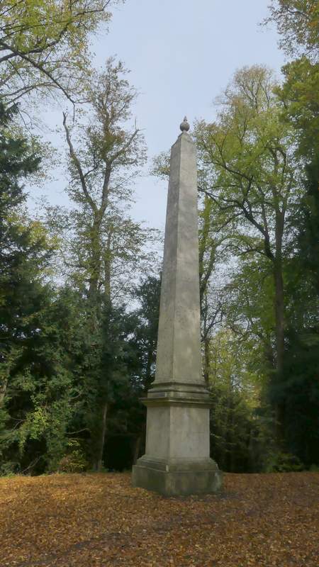
The obelisk
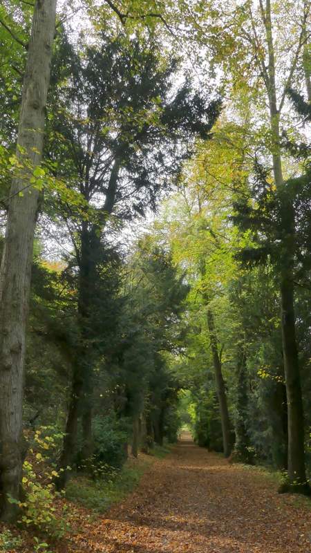
The path descending left from the obelisk
The path across Tring Park/p>
The path across Tring Park
Tring Park
The path going left from Tring Park, parallel to the A41