Pete's Walks - Coombe Hill and Kingsash (page 3 of 6)
If you are considering walking this route yourself, please see my disclaimer. You may also like to see these notes about the maps and GPX files.
I kept straight on along the path through the woods, ignoring a few paths going left or right, until after about a mile I came to a point where a broad path went left and the path continuing ahead started to go downhill. Here I turned left along the broad path through the trees, following it for two or three hundred yards until it crossed the Ridgeway where it was running up the hillside in a sunken lane or 'hollow way'. I took a path that went right, next to the far side of this sunken lane. I quickly came to another path junction (white arrows on a tree) where I turned left, continuing through more woodland with the edge of the wood visible through the trees on my left. After a while the path ended when it met another section of the Ridgeway, where I went left (actually more or less straight on) and followed the Ridgeway a short distance to reach another part of Hale Lane.
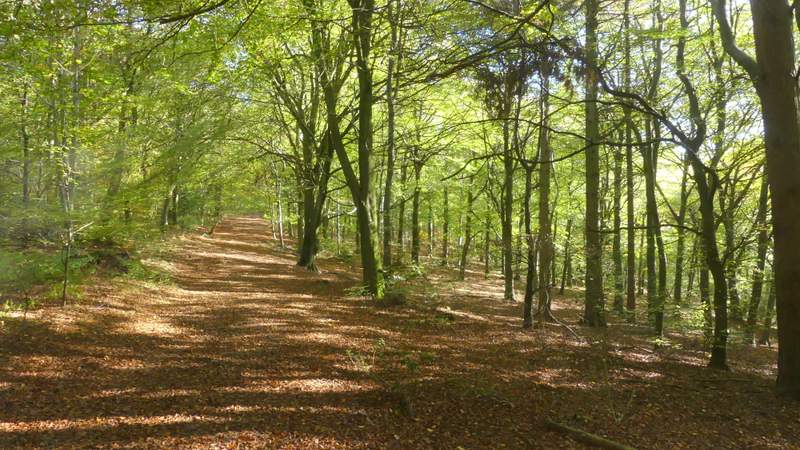
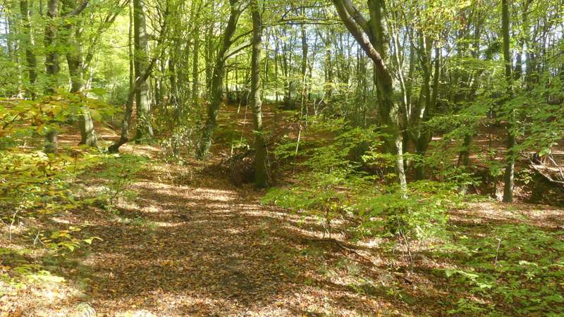
The long path going south through Wendover Woods
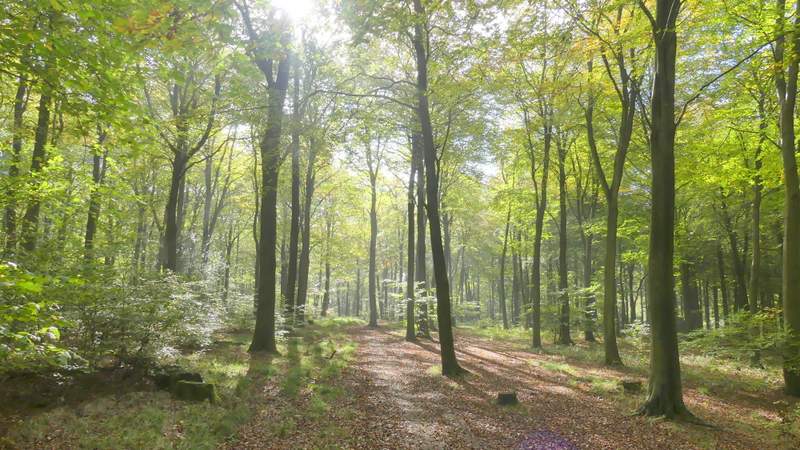
The long path going south through Wendover Woods
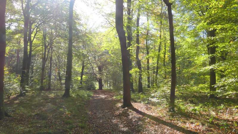
The long path going south through Wendover Woods
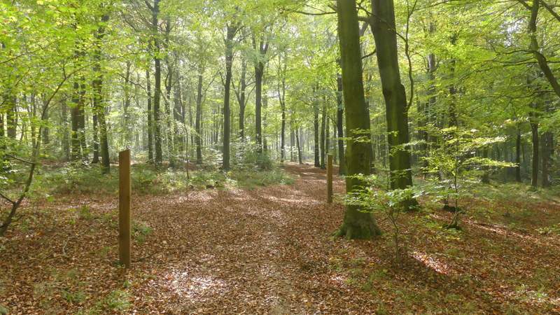
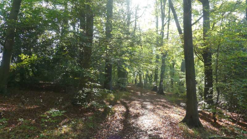
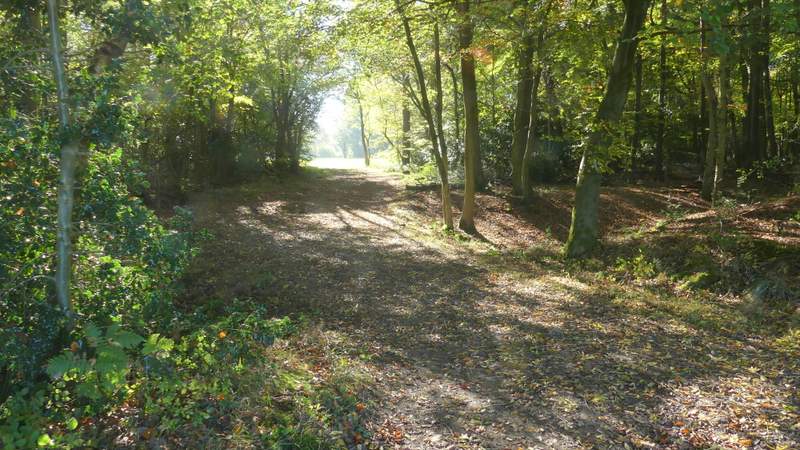
The path after I eventually turned left in Wendover Woods
Approaching where I crossed the Ridgeway in a sunken lane
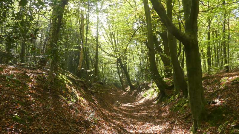
Looking down the Ridgeway as it comes up a sunken lane
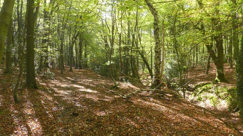
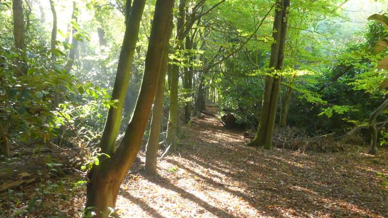
The path starting off beside the sunken lane
The path continuing through the wood
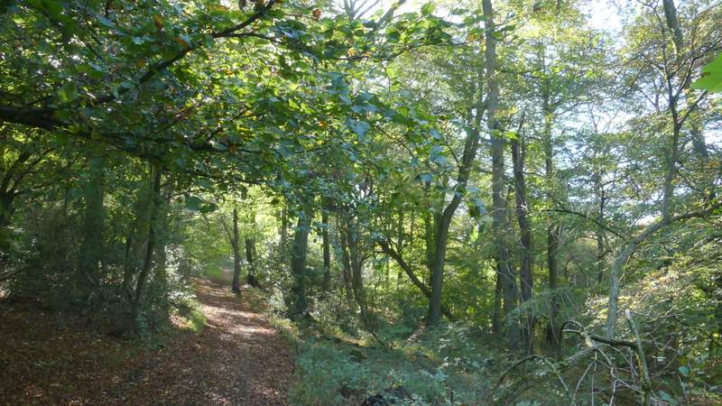
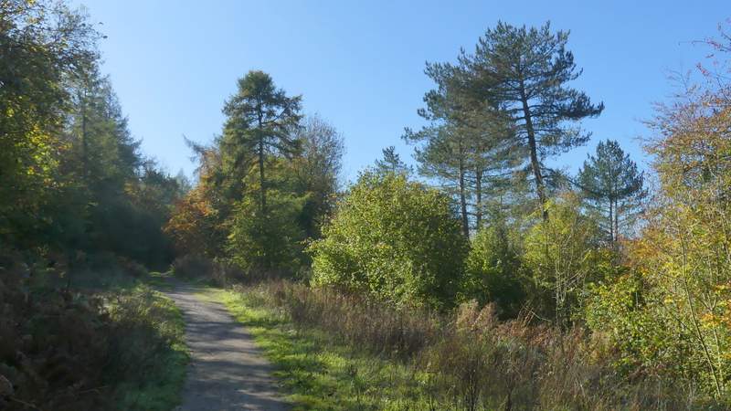
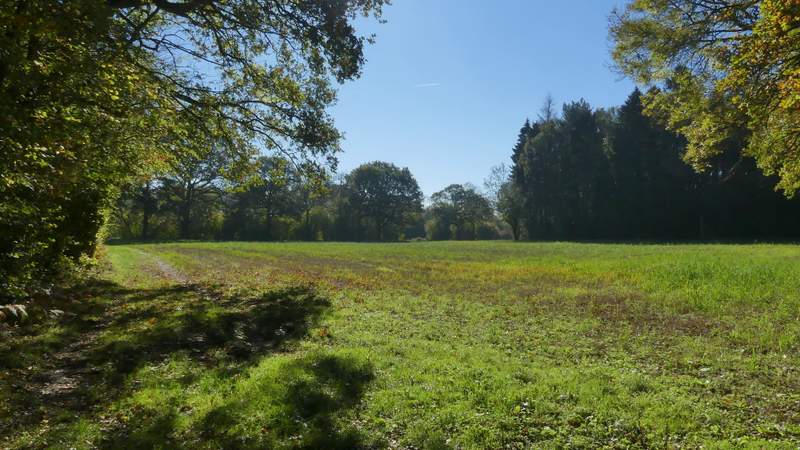
The Ridgeway heading towards Hale Lane
I went a few yards right, then continued along a track starting on the other side of Hale Lane. After three or four hundred yards I took a footpath forking left (the waymark post can be a little difficult to spot) through part of Hale Wood. When the path reached the corner of a drive, it turned right for two or three yards, before turning left . I soon came to a path crossroads where I went left, quickly leaving the wood and following the edge of a field (I had a dog bark at me from a garden on the left, the first of at least three today) before the path crossed part of the field to reach a break in a tree belt. Here I crossed the ancient earthwork of Grim's Ditch, then continued along the left edge of a field. After crossing a second field, the path went through another belt of trees and then crossed a much larger field that had been ploughed (tractor tracks marked the route of the path).
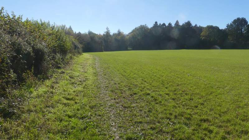
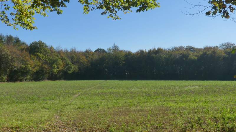
The Ridgeway on the other side of Hale Lane
The path after I forked half-left from the Ridgeway

The path after I turned left at a path crossroads
The path continuing towards Grim's Ditch
The path crossing Grim's Ditch

Grim's Ditch
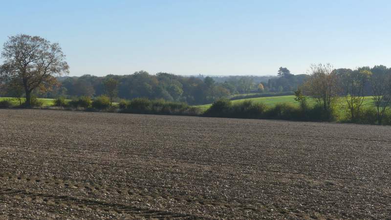
The path continuing southeast from Grim's Ditch
The path continuing southeast from Grim's Ditch
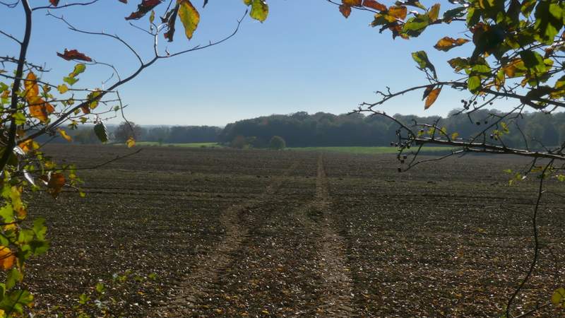
The path continuing southeast from Grim's Ditch
View from the path continuing southeast from Grim's Ditch