Pete's Walks - Coombe Hill and Kingsash (page 2 of 6)
If you are considering walking this route yourself, please see my disclaimer. You may also like to see these notes about the maps and GPX files.
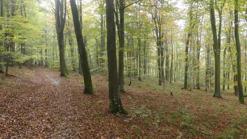
On reaching a road I turned right, but very soon turned left into Hale Lane. There was then quite a long plod reasonably gently uphill towards the wooded slopes of Boddington Hill. I met at least two groups of young people coming the other way who were on a three-day expedition as part of their Duke of Edinburgh award (I know because I chatted to a couple of similar groups later on). Shortly after reaching the woods on my left, I took a footpath forking left along a track, still continuing uphill through the woods. The path steepened a little, but a hundred yards or so after I went straight on where another track went left, the path more or less levelled out. There was now a more open area on my left where part of the wood had been felled. After a while the track turned slightly left, another track and then a path coming in on the right. I stopped here to take a quick photo of part of the Iron Age hill fort on Boddington Hill (on my left).
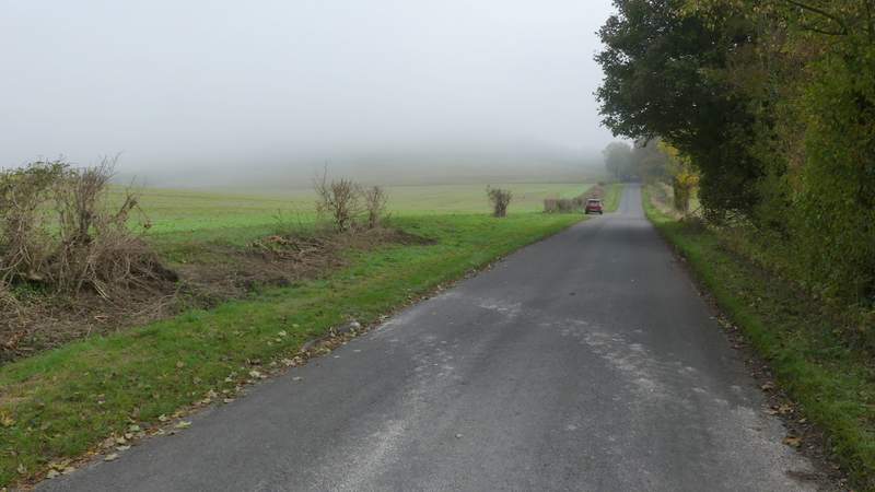
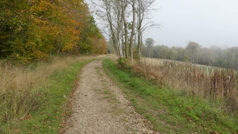
Hale Lane
Hale Lane
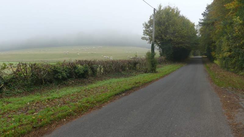
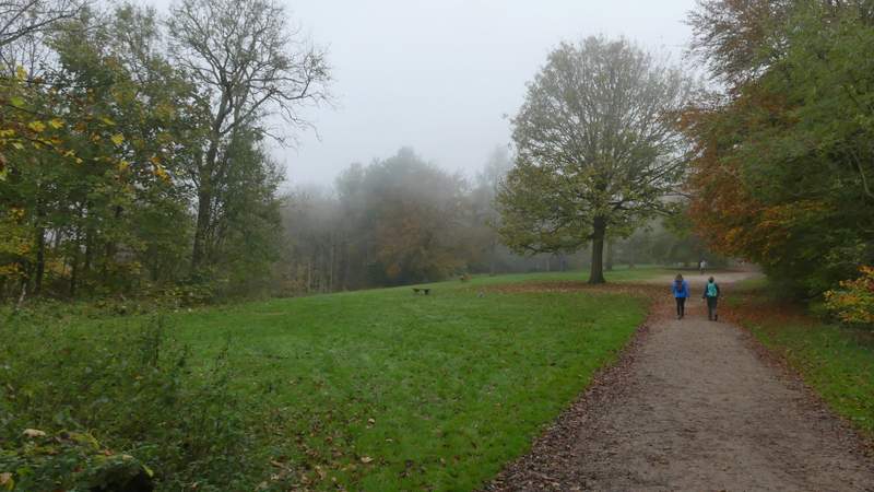
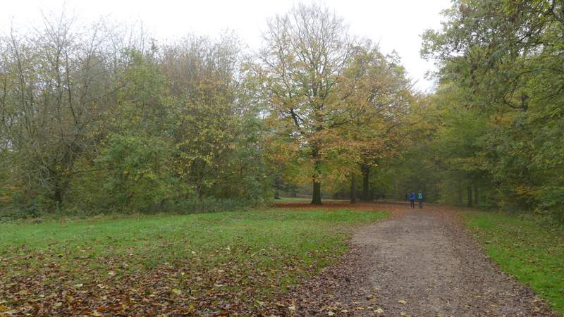
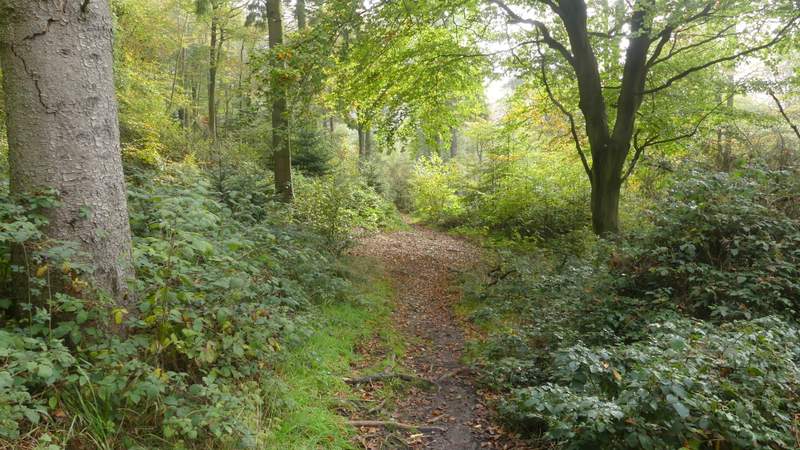
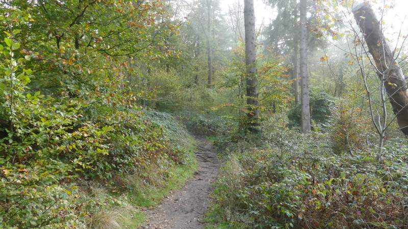
The path up Boddington Hill
The path up Boddington Hill
The path up Boddington Hill
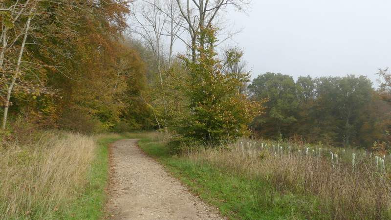
The path up Boddington Hill
The path up Boddington Hill
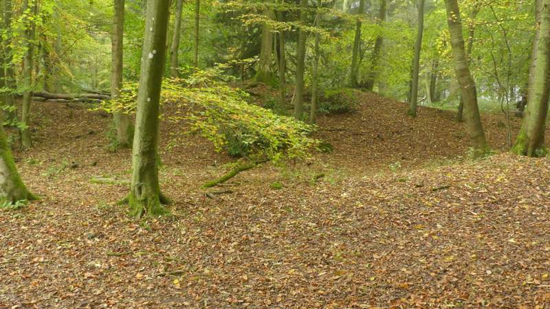
The ditch and embankment of the Iron Age hill fort on Boddington Hill
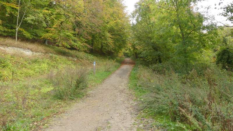
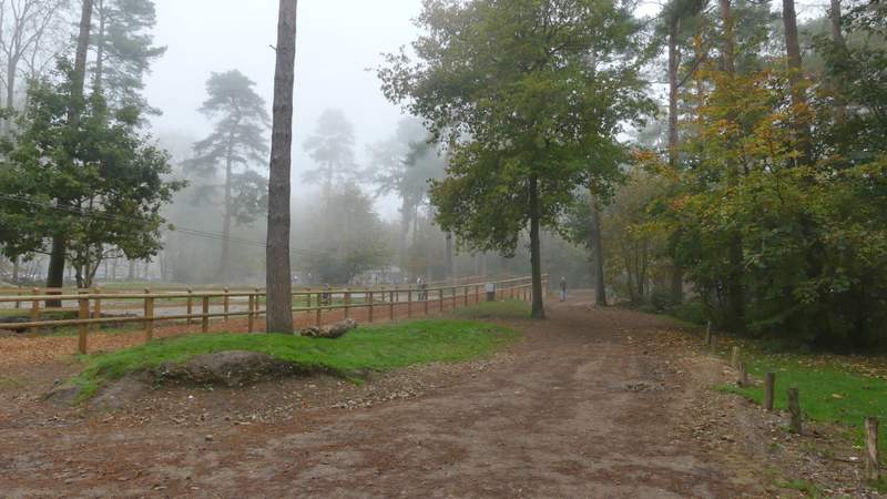
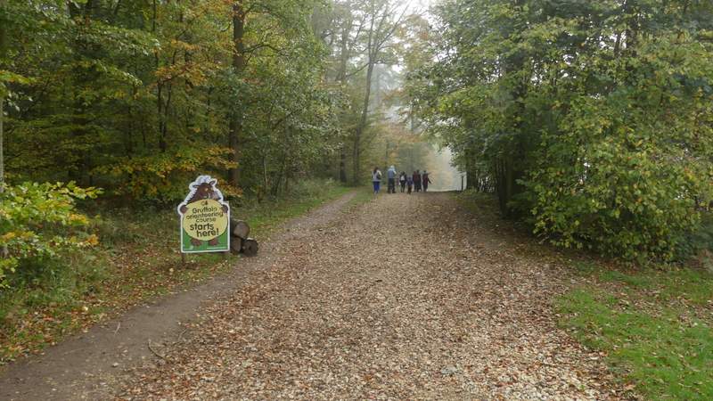
The track then soon came to a junction, where I turned right and followed another track towards the Visitor Centre in the middle of Wendover Woods. After a few hundred yards I followed the track through the middle of a Go-Ape area where children (and accompanying adults) were on assorted wires and platforms in the trees. I passed to the right of the visitor centre, then turned right down a track [UPDATE 1/7/23: there is now a new and larger visitor centre, you need to turn right to reach it then turn left i frontof it to pass the toilets and then immediately turn right] soon passing a sign announcing the start of the 'Gruffalo Orienteering Course' [UPDATE 1/7/23: sign no longer there]. I soon took a path forking left by a seat [UPDATE 1/7/23: seat no longer there - if you reach the statue of the Gruffalo on the right, you've gone too far], leaving it after maybe a hundred yards by turning right between some wooden barriers. I was really looking forward to this next section, going south or south-east through Wendover Woods for about a mile, but was a little disappointed. The woods here were wonderful as usual, and the sunlight (the fog hadn't reached this far) filtering down through the multi-coloured Autumn leaves made for some lovely photos, but there were just too many people about. I expect crowds around the visitor centre, but normally I only meet two or three people along here.
The path to the visitor centre at Wendover Woods
The path to the visitor centre at Wendover Woods
The continuing past Go-Ape at Wendover Woods
The path after I turned right near the Visitor Centre at Wendover Woods
The path after I forked left at a a seat, shortly after going through the wooden barriers
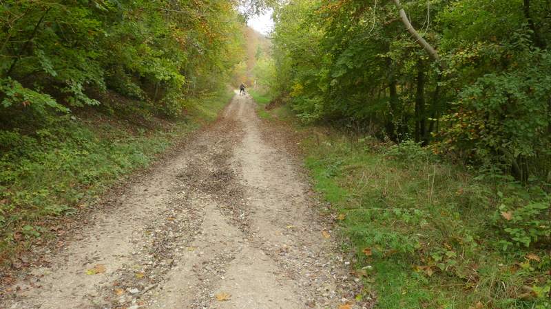
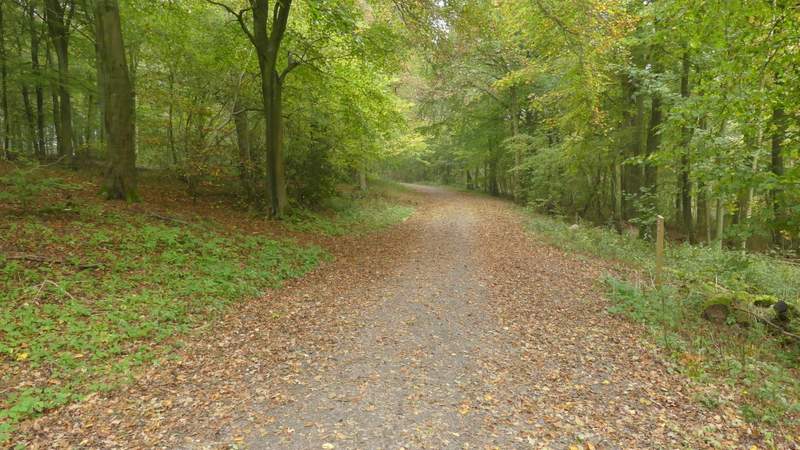
The long path going south through Wendover Woods
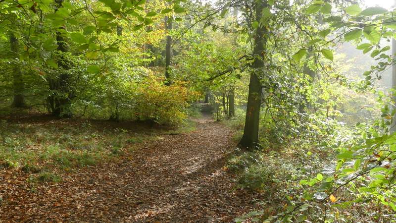
The long path going south through Wendover Woods
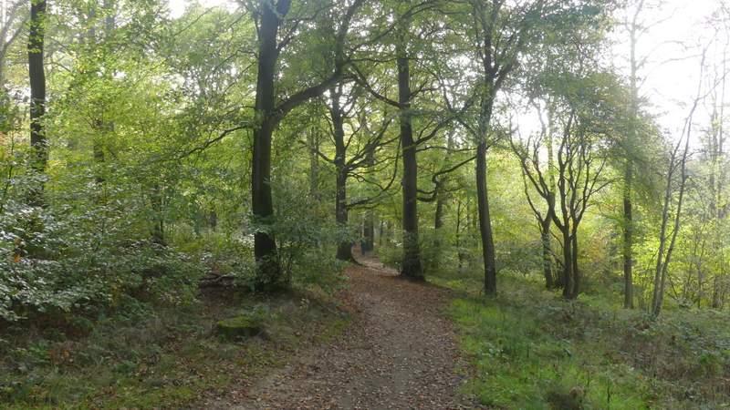
The long path going south through Wendover Woods
The long path going south through Wendover Woods