Pete's Walks - Malvern Hills walk (page 2 of 6)
If you are considering walking this route yourself, please see my disclaimer. You may also like to see these notes about the maps and GPX files.
After dropping down northwards from Black Hill north, there was a long steady climb up to Pinnacle Hill - it seemed strange to me to have rocks under my feet instead of the chalk of the Chilterns! At the top of the slope there was a fairly level and grassy section, which I wrongly thought at the time took me from Pinnacle Hill to Jubilee Hill, but I now realise this was all still Pinnacle Hill (because of the obvious tumuli I passed, shown on the OS map). In fact Jubilee Hill was a fairly insignificant 'bump' as I progressed from Pinnacle Hill to Perseverance Hill - I could easily have missed it by following the main path here, I only went over it as I was trying to stick to the very top of the ridge as I made my way north.
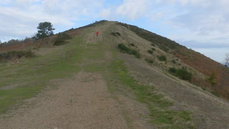
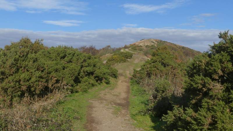
The path up Pinnacle Hill
Approaching the top of Pinnacle Hill
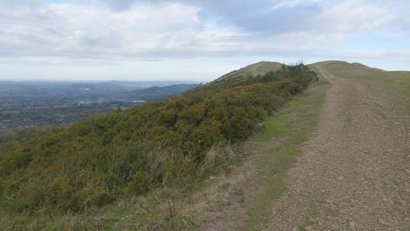
Looking back south from Pinnacle Hill
Pinnacle Hill
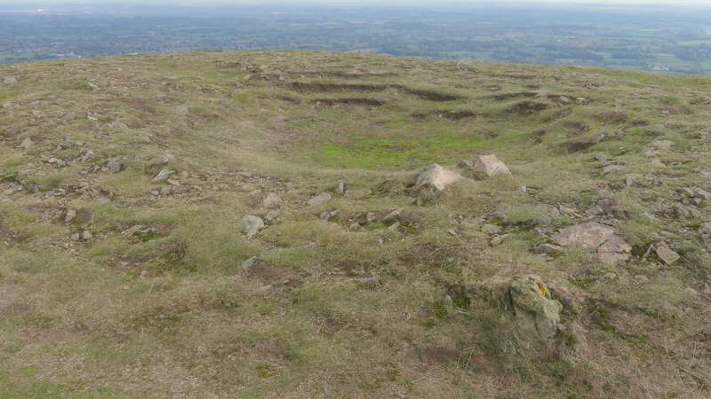
Remains of a tumulus or burial mound on Pinnacle Hill
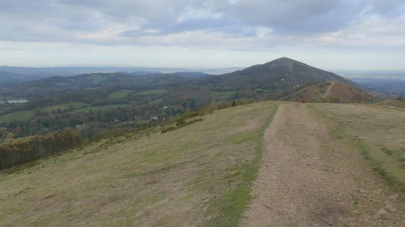
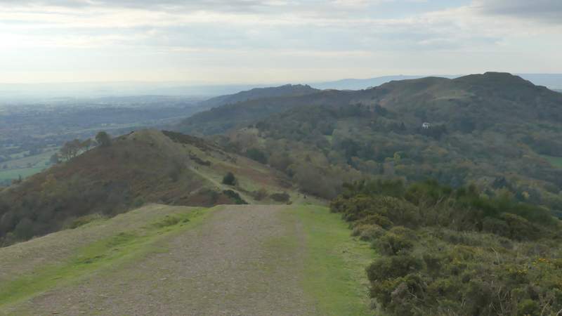
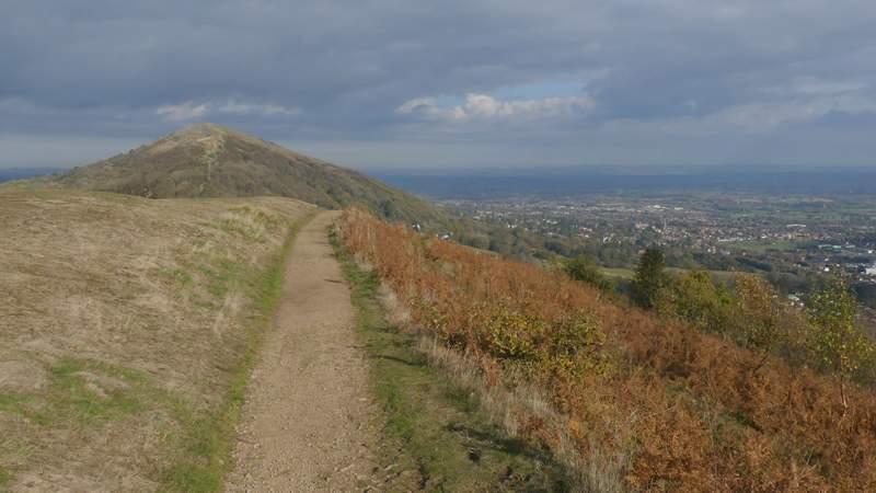
Looking north from Pinnacle Hill - the small hill only just partly visible on the far right is Jubilee Hill, the next hill is Persistence Hill, then there is the 'pass' of Wyche Cutting, and then Summer Hill and Worcestershire Beacon (which look like one hill from this direction)
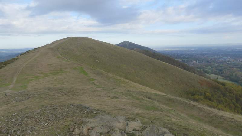
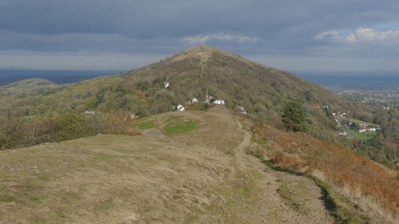
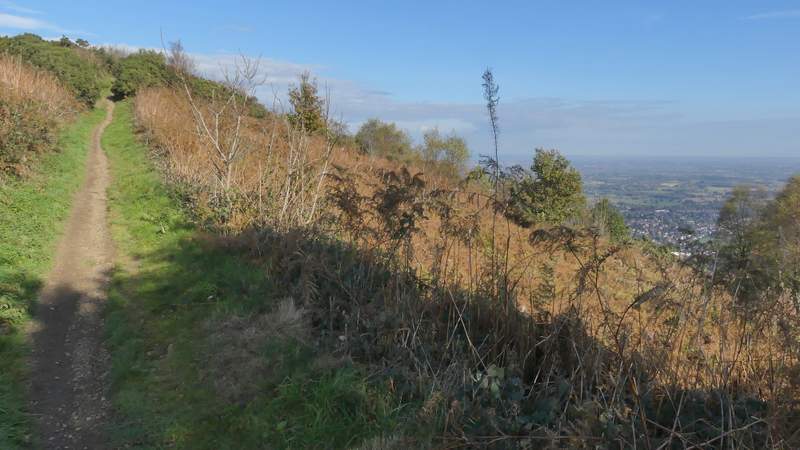
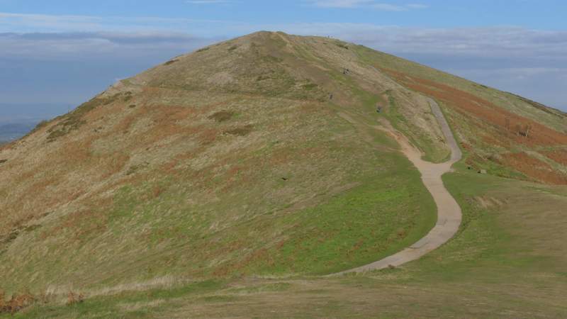
The path to Persistence Hill, from Jubilee Hill
The path to Persistence Hill
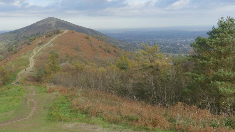
From the top of Perseverance Hill there was a long and very gentle descent to Wyche Cutting - at first I thought it looked like the 'pass' cut quite deeply through the ridge, but in fact the loss of height wasn't too much at all. I knew the next hills were Summer Hill and Worcestershire Beacon, but from this direction they looked like a single hill. I reached the road at Wyche Cutting (next to a public convenience on the left, there was another one near the hotel and car park where I'd started), and continued northwards along Beacon Road, passing a couple of small car parks. On reaching a circular stone marker saying 'Gold Mine' (very little gold was found in the Malverns, apparently) I left the main path that zig-zagged up the hill and went along a straight path that followed the ridge line. After a while I realised this path was now running just east of the ridge line, so by a rocky outcrop I went a few yards left so that I again had wonderful views both east and west. I then soon reached the top of Summer Hill, from where there was hardly any descent at all before another steady climb to the top of Worcestershire Beacon (at 1394 feet above sea level it is the highest point in the Malvern Hills).
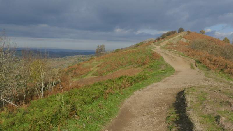
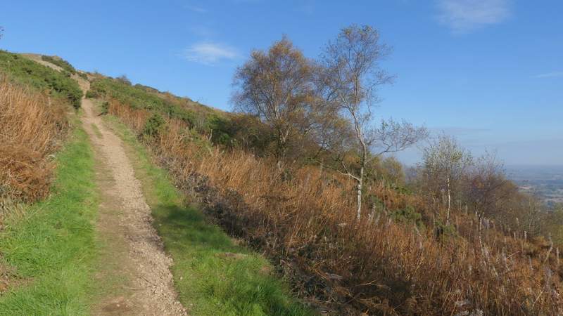
The path descending from Persistence Hill to Wyche Cutting
The path descending from Persistence Hill to Wyche Cutting
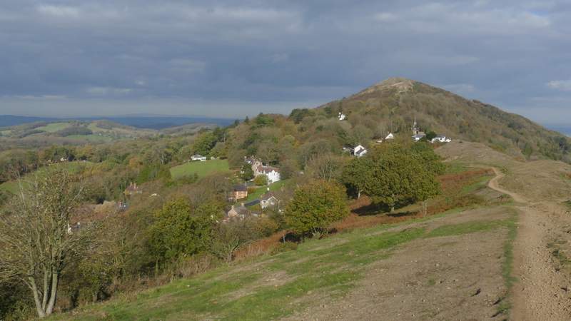
The path descending from Persistence Hill to Wyche Cutting
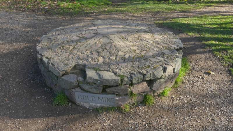
The circular indicator stone at Gold Mine, on the path up Summer Hill (I would be back here later)
The path up Summer Hill
The path up Summer Hill
The path up Summer Hill
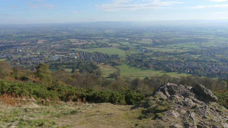
Looking northeast from Summer Hill
Worcestershire Beacon from Summer Hill