Pete's Walks - Old Amersham and Seer Green (page 1 of 6)
If you are considering walking this route yourself, please see my disclaimer. You may also like to see these notes about the maps and GPX files.
Google map of the walkDownload GPX file of the walk
I did this circular walk of about 14.5 miles on Sunday, 13th January, 2019. It was a repeat of a walk I did in January 2012, which was really just an extension to Walk 9 of my Chiltern Chain Walk. However this time I did it anti-clockwise and there was one short section near Seer Green that I was walking in this direction for the first time.
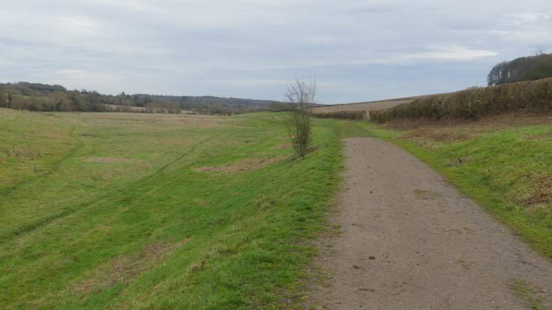
I parked in the car park just off the High Street in Amersham Old Town (Grid Reference SU 960974), which is free on Sundays and Bank Holidays, and started walking at about 10am. I took a path from a corner of the car park (on the same side as the entrance) and followed it for a short distance alongside the river Misbourne on my right. When I reached a stone bridge across the river, I turned left along a short drive or track to reach the churchyard around Amersham church, where I took a path going left (I immediately went straight on where another path forked right to reach the church door). On leaving the churchyard, I turned left along the High Street (soon passing the entrance to the car park). I went straight on at a roundabout, but just a few yards further on took a path on the right. This started down a gravel drive, almost immediately turning left and then crossing a small field to pass under a road bridge.
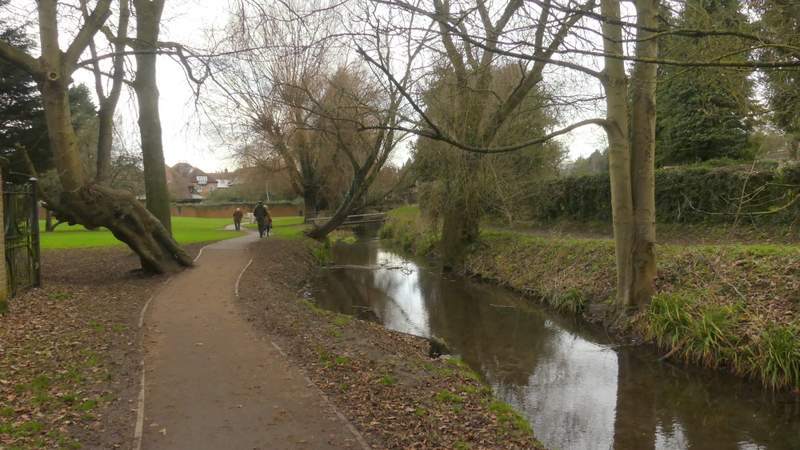
Path along the River Misbourne in Old Amersham
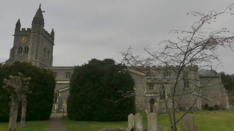
Amersham church
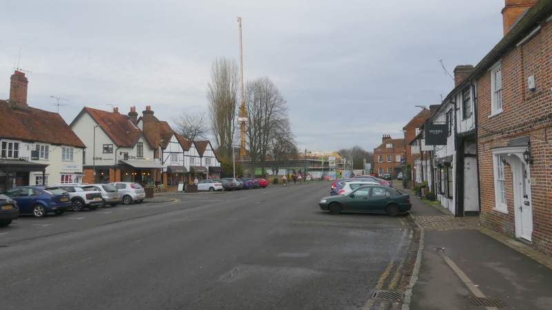
The High Street, Old Amersham
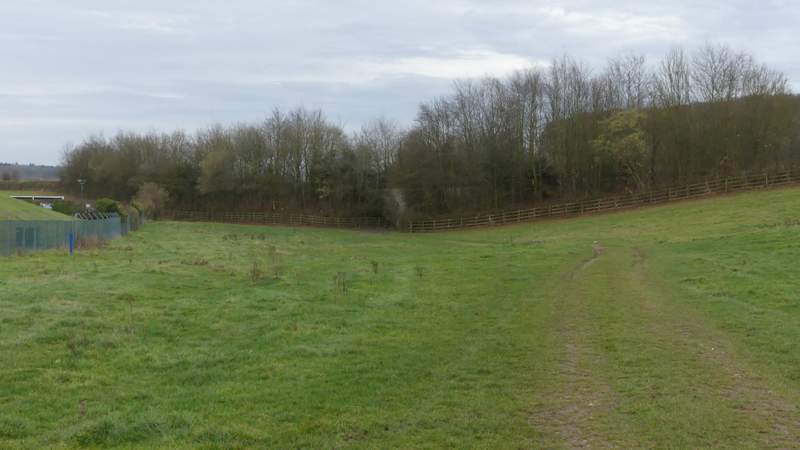
The path out of old Amersham, heading for the road bridge
The path out of old Amersham (I forked right at the gap in the hedge)
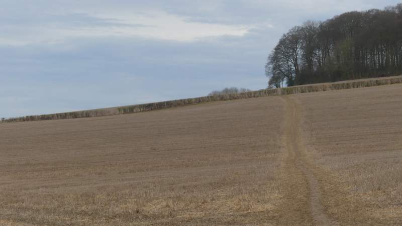
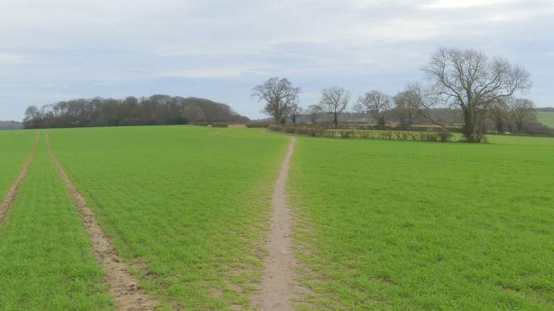
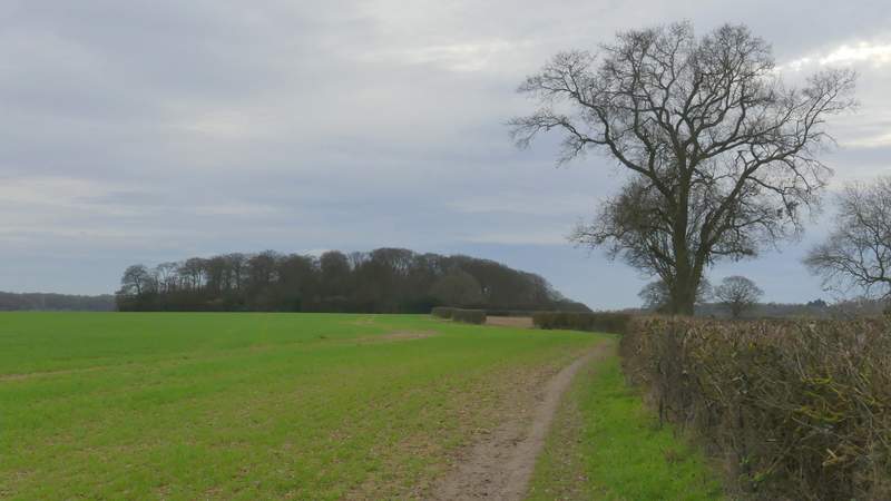
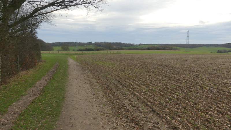
After another hundred yards or so, I took a path that forked right at an opening in the hedgerow on my right, and headed fairly gently uphill across two stubble fields to reach Rodger's Wood. The path continued a short way through the wood, then it levelled out as it crossed part of a very large arable field to a hedge corner. It continued straight on across more of the field, now with Quarrendon Farm over to my right, to reach another hedgerow where it went left. After a while, the path switched to the right of the hedgerow and soon after passed Day's Wood on my left. At the end of this wood, the path went half-right across a field to a hedgerow. Over a stile, the path turned right into a field corner, where it turned left. In the next field it followed tractor tracks quite steeply downhill to reach Upper Bottom House Farm and Bottom House Farm Lane.
The path to Rodger's Wood)
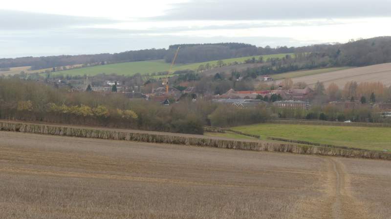
View back from the edge of Rodger's Wood
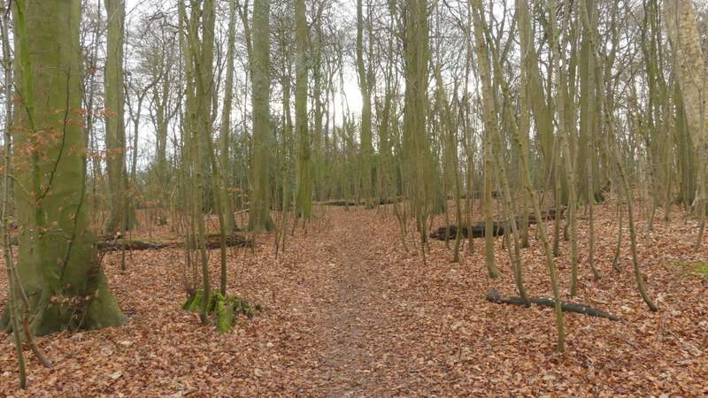
Rodger's Wood
The path continuing from Rodger's Wood
The path continuing between Rodger's Wood and Day's Wood
The path passing the end of Day's Wood - it goes half-right to pass the end of the fence and continues on to a stile in the hedgerow
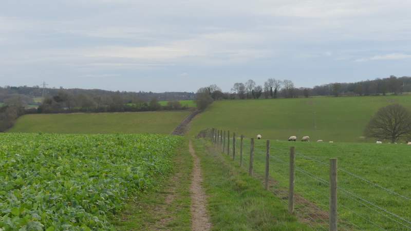
The path continuing down to Upper Bottom House Farm
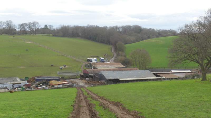
The path continuing down to Upper Bottom House Farm