Pete's Walks - Old Amersham and Seer Green (page 2 of 6)
If you are considering walking this route yourself, please see my disclaimer. You may also like to see these notes about the maps and GPX files.
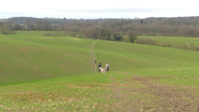
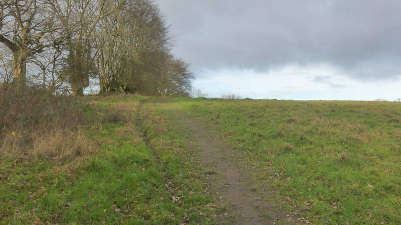
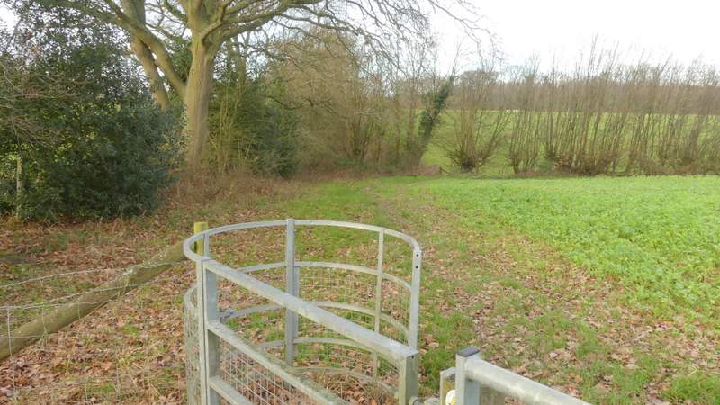
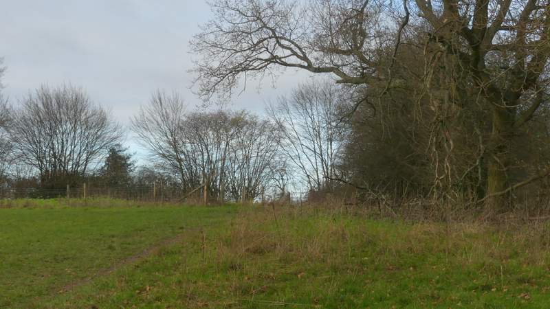
I turned right along the lane for a few yards, then took a footpath on the other side (starting by a stables) that followed a track gently uphill. The OS map shows another path soon forks left, but I can't ever remember noticing this junction. After a few hundred yards there was a small wood to the left of the track, and soon after I passed next to a house on the right. Just after this the track turned left, but here I went through a gate and turned right, following a fence on my right through an empty pasture - I was now on part of the Chiltern Way. In the next field I followed a fence on my left as far as a kissing-gate, through which the path dropped downhill and then uphill again as it crossed a very large arable field to bring me back to Bottom House Farm Lane. Across this, the path rose slightly alongside a tall hedgerow on my left, then went through two more gates as it went down and up a slight dip, before it switched to the left of the hedgerow. It continued on alongside the hedgerow through this and the next two fields, before crossing another field with Brentford Grange Farm to my right, before passing through a small area of trees to reach the drive to Brentford Grange (the large house that I could now see over to my right).
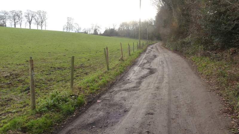
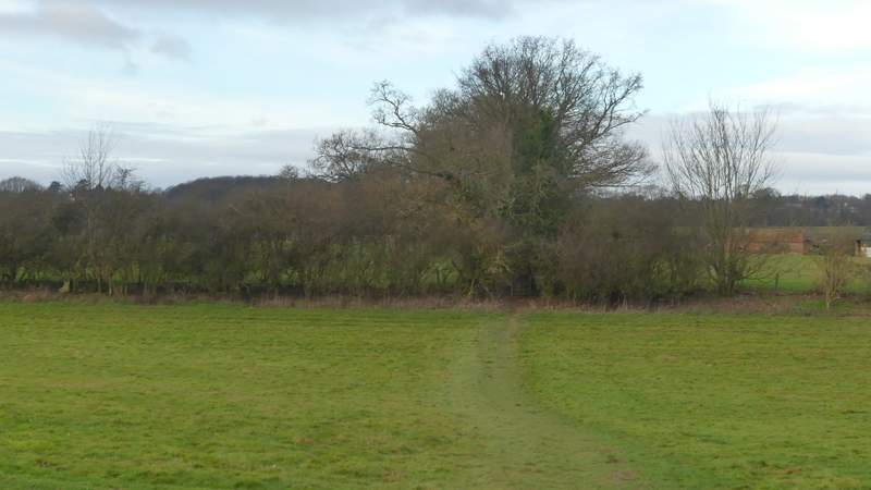
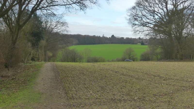
The path from Upper Bottom House Farm
The path from Upper Bottom House Farm
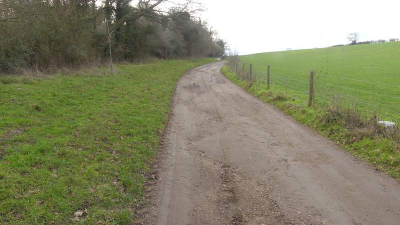
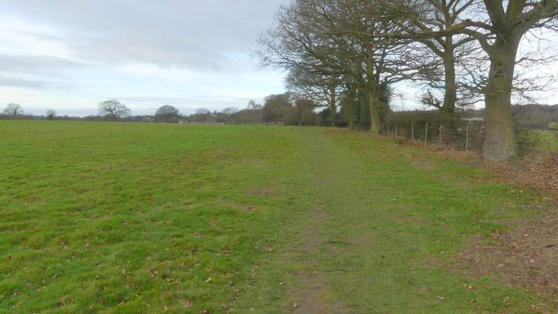
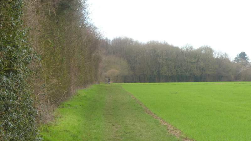
The path after I turned right (onto the Chiltern Way)
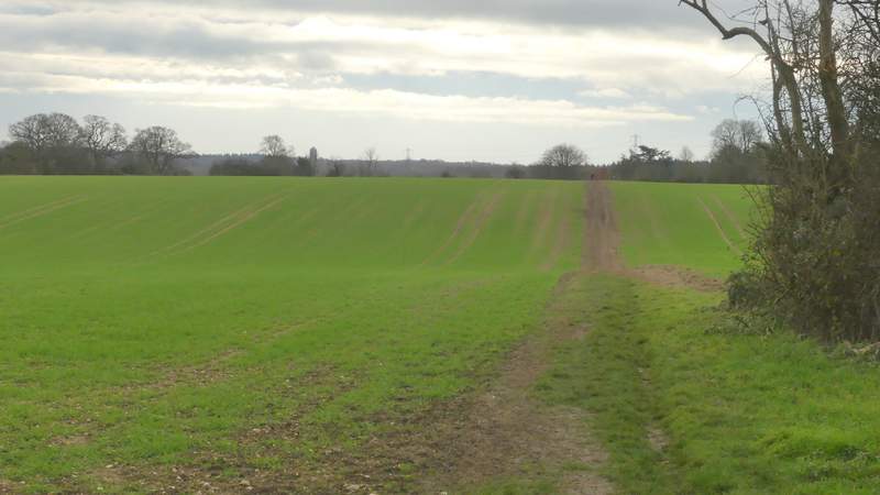
The path to Brentford Grange Farm
The path to Brentford Grange Farm
The path to Brentford Grange Farm (just after crossing Bottom House Farm Lane)
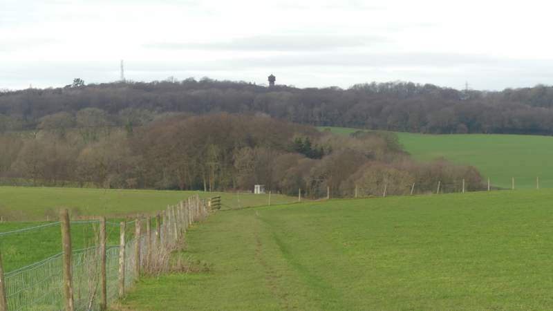
The path to Brentford Grange Farm
The path to Brentford Grange Farm (just after it switches to the left of the hedgerow)

The path to Brentford Grange Farm
The path to Brentford Grange Farm
The path to Brentford Grange Farm
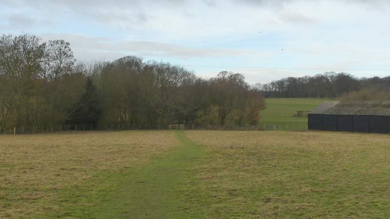
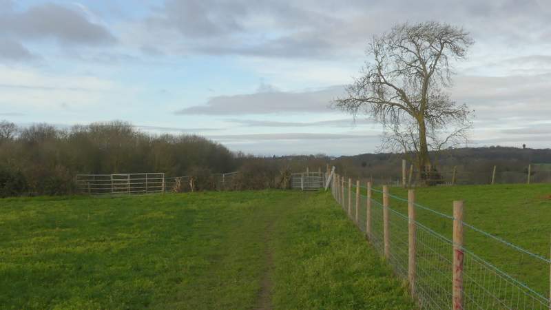
The path passing Brentford Grange Farm
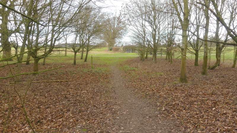
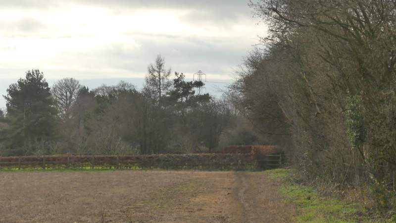
The path approaching the drive to Brentford Grange
Just after crossing the drive, the path started to run between a hedge and a fence on my right. Eventually the path brought me to a main road (the A355). Across this, a path continued alongside another hedge on my left but after about three hundred yards I turned left at a path crossroads (leaving the route of the Chiltern Way, which goes straight on to Coleshill). This path followed a broad headland between large arable fields. At the next crossing hedgerow I turned right along a path behind the hedge, soon turning left in a field corner and then following the path until it brought me to a minor road.

The path continuing towards the A355
The path now approaching the A355
The path on the other side of the A355 (heading to Coleshill)
The path after I turned left
The path after I turned right (and after it turned left in a field corner)