Pete's Walks - Old Amersham and Seer Green (page 3 of 6)
If you are considering walking this route yourself, please see my disclaimer. You may also like to see these notes about the maps and GPX files.
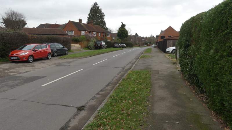
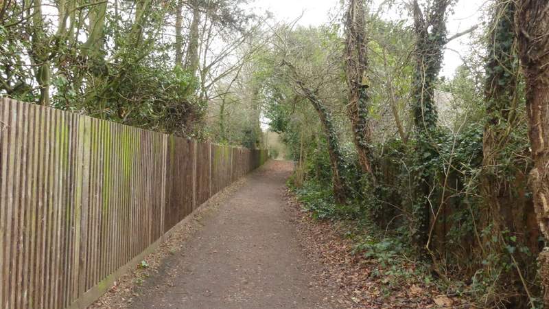
I went a few yards right along the road, then took a bridleway starting on the other side which was soon following a track or drive with hedges either side. Further on, I passed close to Ongar Hill Farm over to my left (near here I saw some people taking some Alpacas for a walk). After passing a field on my right, the bridleway then turned slightly right behind a hedgerow, and dropped slowly downhill into a valley, at the bottom of which it passed through a small part of Great Beard's Wood. The bridleway then continued gently up the other side of the valley, between a fence and a hedge on my right, to reach a drive near a property named Wood Cottage. Here If turned left and followed the drive for several hundred yards to reach the A355 again.
The bridleway to Ongar Hill Farm (sorry for the poor photo, I was looking into the sun)
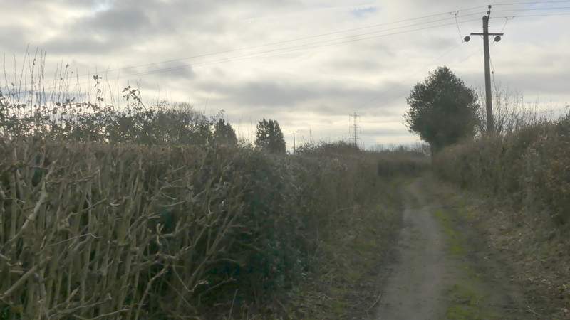
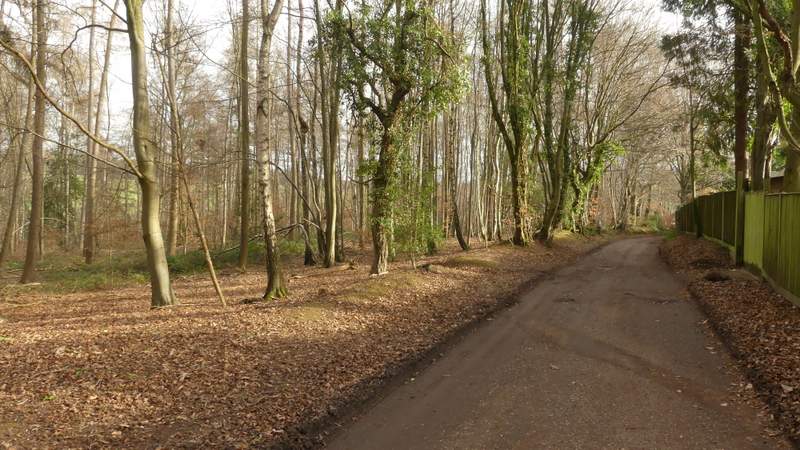
The bridleway as it passes Ongar Hill Farm
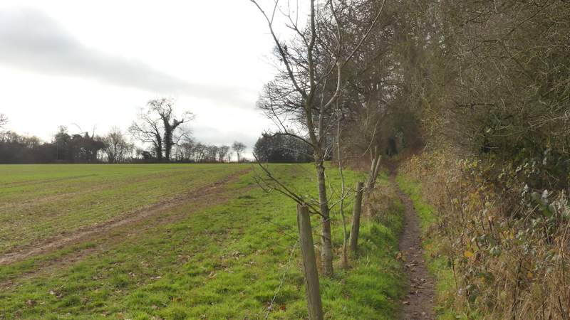
The bridleway continuing to Great Beard's Wood
The bridleway continuing to Great Beard's Wood
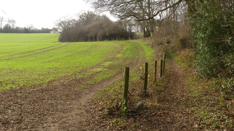
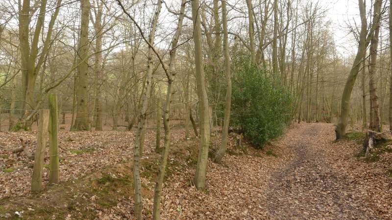
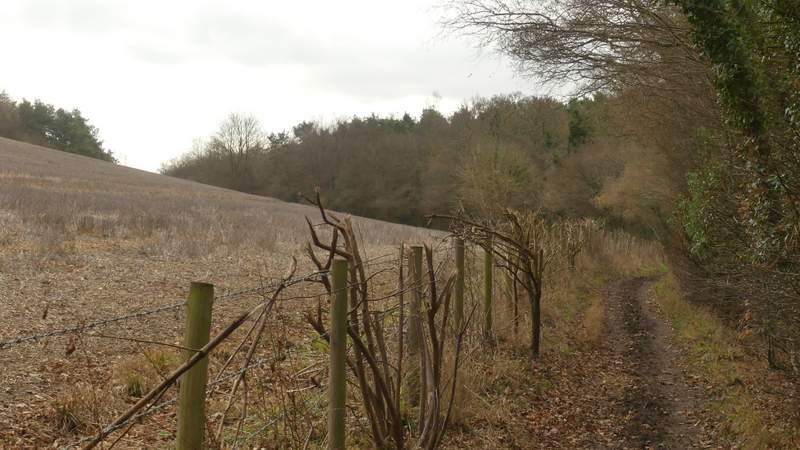
The bridleway continuing between Great Beard's Wood and Wood Cottage
The bridleway continuing between Great Beard's Wood and Wood Cottage
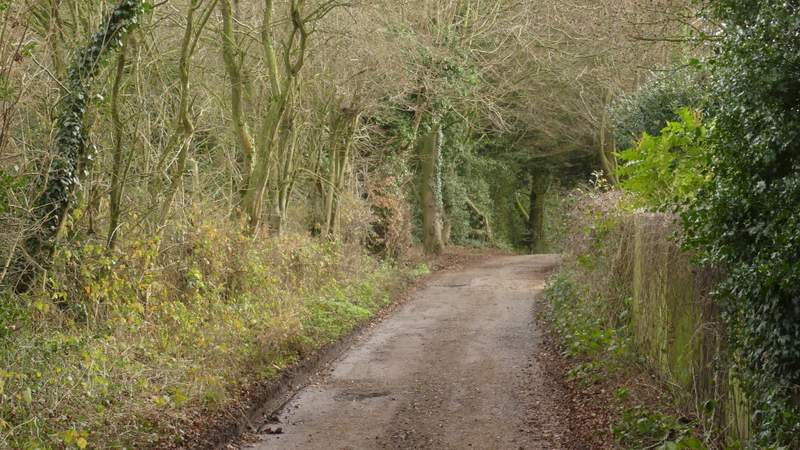
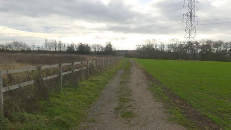
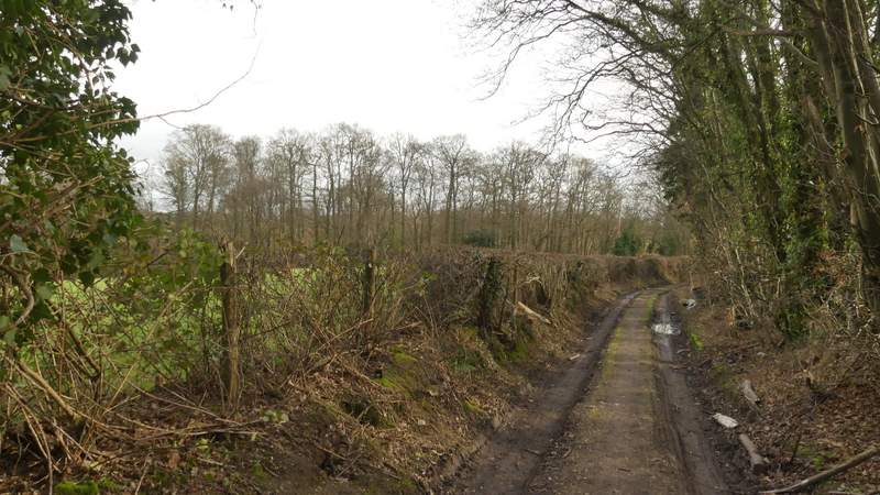
The drive from Wood Cottage
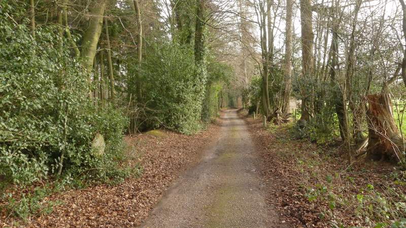
The drive from Wood Cottage
The drive from Wood Cottage
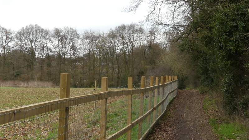
It took me a minute or two before I could cross the road, but then I continued down a bridleway that soon brought me to Bottom Wood. On reaching a junction in a valley bottom I intended to turn right, but I must have been on 'autopilot' and just followed my usual route when I am here, going straight on, following the bridleway to its end and turning left along Bottom Lane. It was only when I reached Hodgemoor Woods that I 'woke up', realised what I'd done, and retraced my steps for about half a mile! Finally on the bridleway I should have taken by turning right at the junction, I followed it along the valley through more of Bottom Wood. On leaving the wood, the bridleway stayed along the valley bottom, passing a large stubble field sloping up on my left. On then entering Blue Close Wood I went straight on at a path crossing, now starting the short section I'd only walked in the opposite direction before. I soon reached the far side of the wood, where I turned left onto another bridleway that rose uphill beside the wood. Beyond the wood it levelled out, and ran between fences either side to reach Bottom Lane as it ran along the edge of Seer Green.
The bridleway after I crossed the A355, heading to Bottom Wood
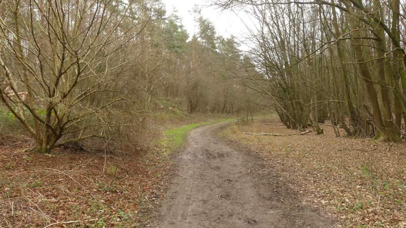
Bottom Wood
Bottom Wood after I turned right (after a slight detour!)
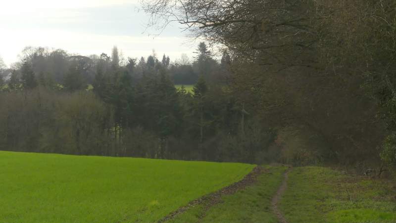
The bridleway continuing between Bottom Wood and Blue Close Wood
Blue Close Wood
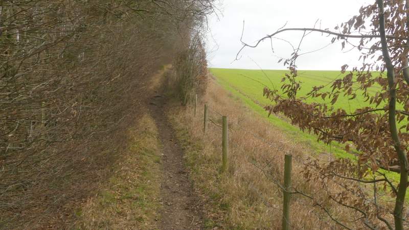
The bridleway after I turned left, along the edge of Blue Close Wood
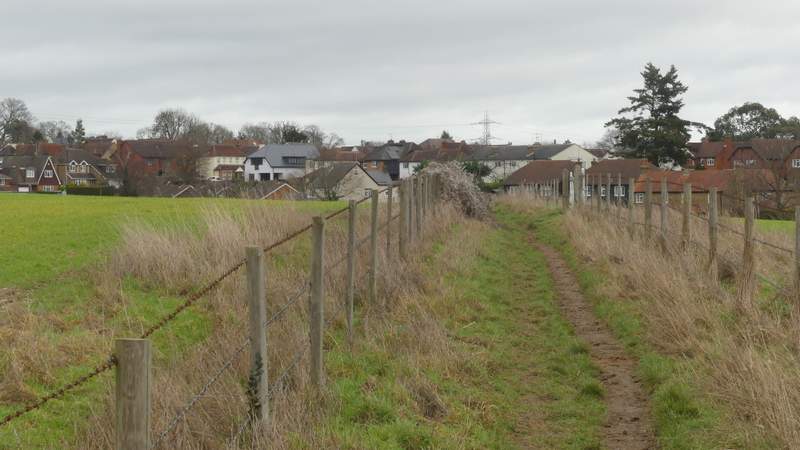
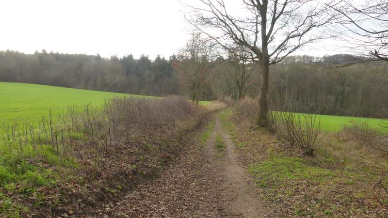
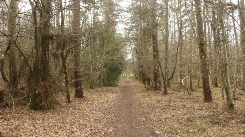
The bridleway continuing to Seer Green
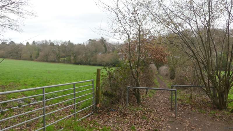
I turned left but quickly turned right into Orchard Road and followed it through Seer Green (after a second footpath came in on the left I was back in more familiar territory). After several hundred yards, the road turned left but I went straight on down a short street, passing the Three Horseshoes pub on my right. At a T-junction I went a few yards right then went down a public footpath starting down a gravel drive on the other side. After a hundred yards or so I came to a path junction, where I turned right and followed a path for about a third of a mile to reach Wilton Lane on the edge of the neighbouring settlement of Jordans.
Orchard Road, Seer Green
The path from Seer Green to Jordans (after I turned right)
The path from Seer Green to Jordans
The path from Seer Green to Jordans