Pete's Walks - Circular walk from Chesham (page 2 of 6)
If you are considering walking this route yourself, please see my disclaimer. You may also like to see these notes about the maps and GPX files.
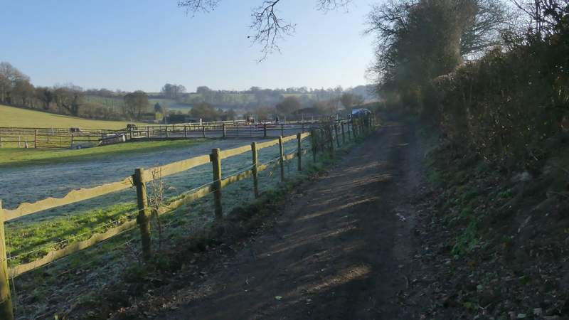
Across the road I went through a gate and took a path going left, with garden boundaries on my left and small enclosures to my right. After maybe three hundred yards or so I turned right at a path junction, following a track with a tall hedge on my right and more enclosures or paddocks to my left. This brought me to Ramscoat Wood, where the path continued straight on. It soon left the wood, continuing quite steeply downhill into a valley called White Hawridge Bottom (initially with the wood still on my left). The path ended when it met a byway in the valley bottom (this was where there used to be an Ostrich farm), where I turned right and followed the byway for a third of a mile to reach the road that runs through Chesham Vale.
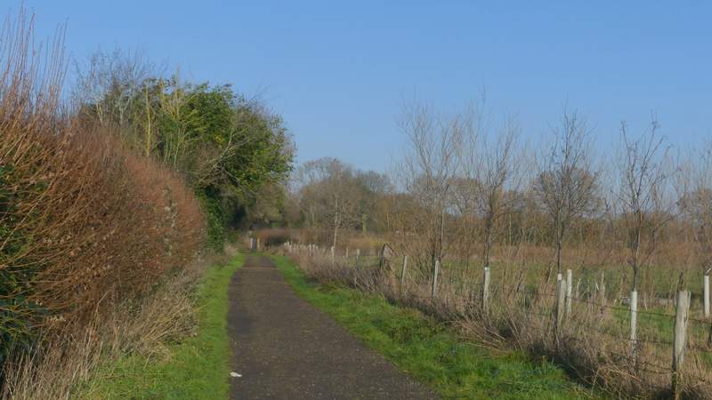
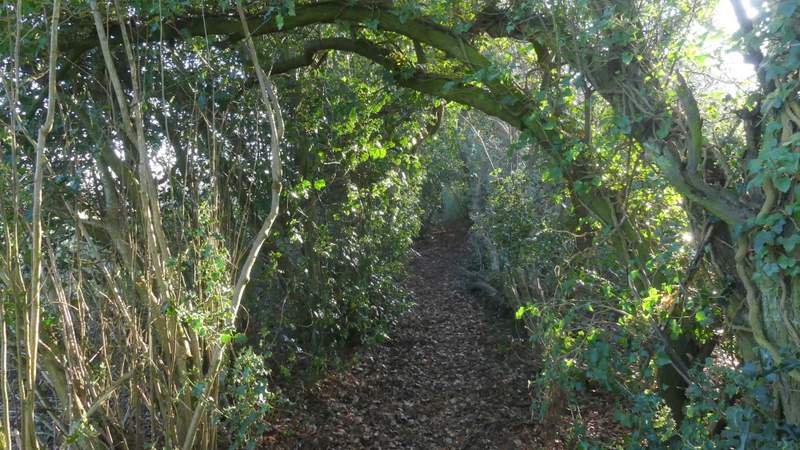
The path after I crossed the road at Great Hivings
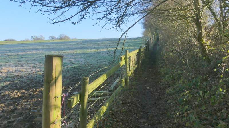
The path after I turned right, heading to Ramscoat Wood
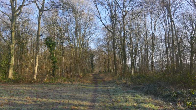
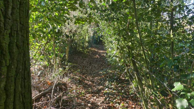
Ramscoat Wood
The path descending to White Hawridge Bottom
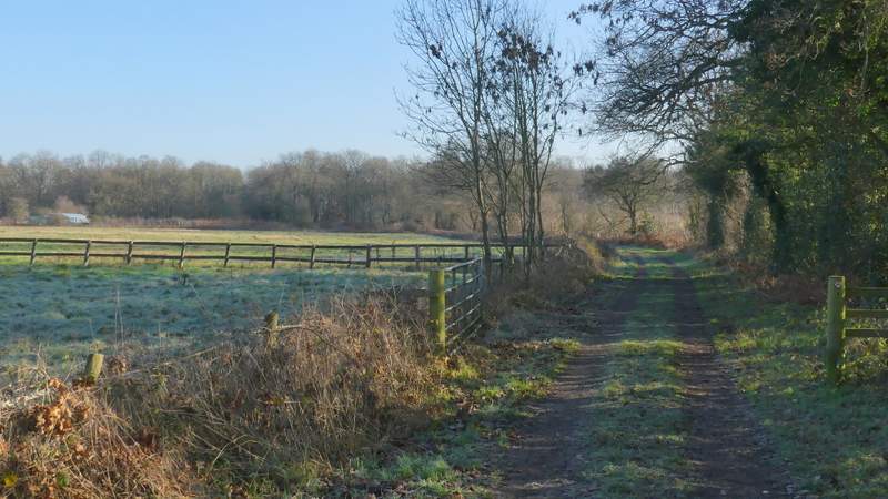
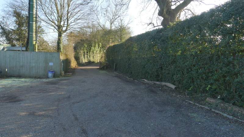
The byway through White Hawridge Bottom
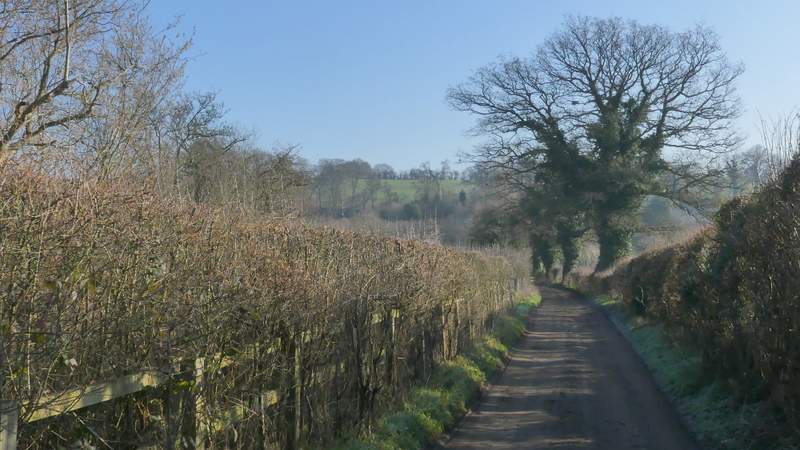
The byway through White Hawridge Bottom
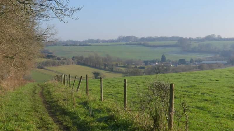
I crossed over, and took a path that went through Little Pressmore Farm and then rose uphill between fences and hedges. At the top of the slope, the path continued along the right edge of a pasture, then went over a stile and continued along a drive past Pressmore Farm. I went right at a drive junction to reach the A416 main road (shortly to reach Chesham, to my right).
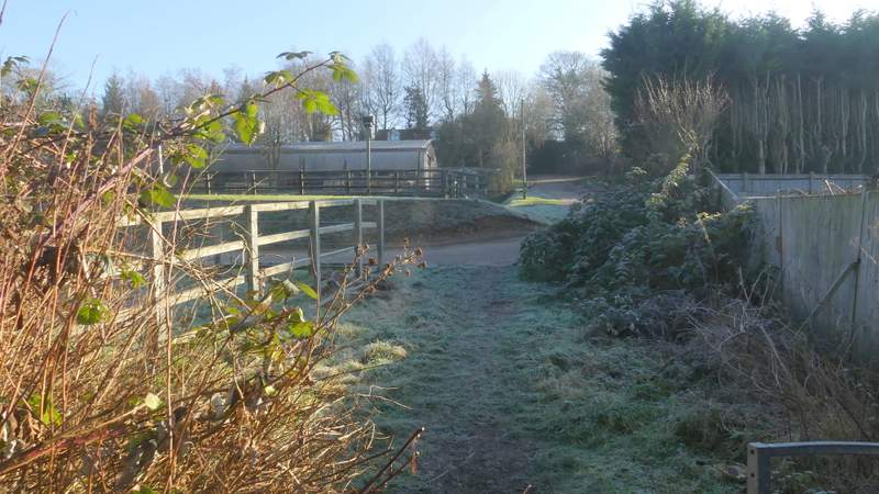
The path passing through Little Pressmore Farm
The path between Little Pressmore Farm and Pressmore Farm
The path between Little Pressmore Farm and Pressmore Farm

The path between Little Pressmore Farm and Pressmore Farm
The path continuing near Pressmore Farm
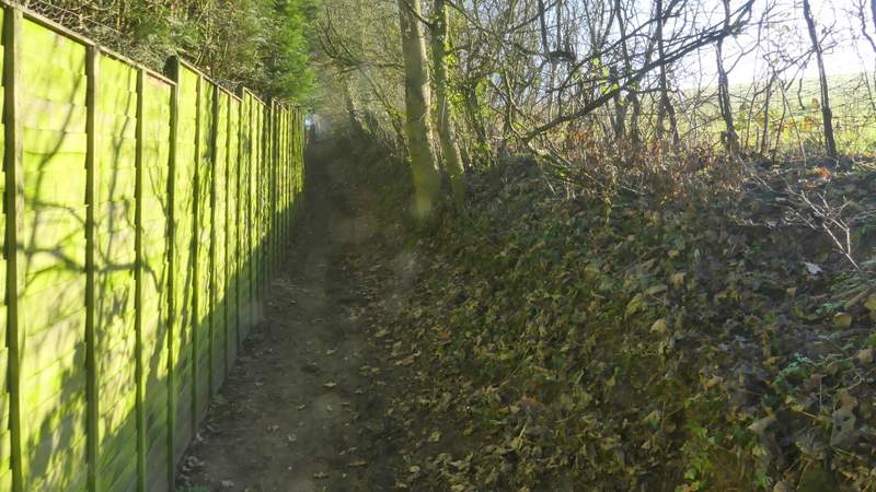
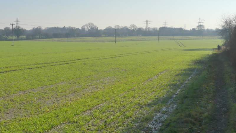
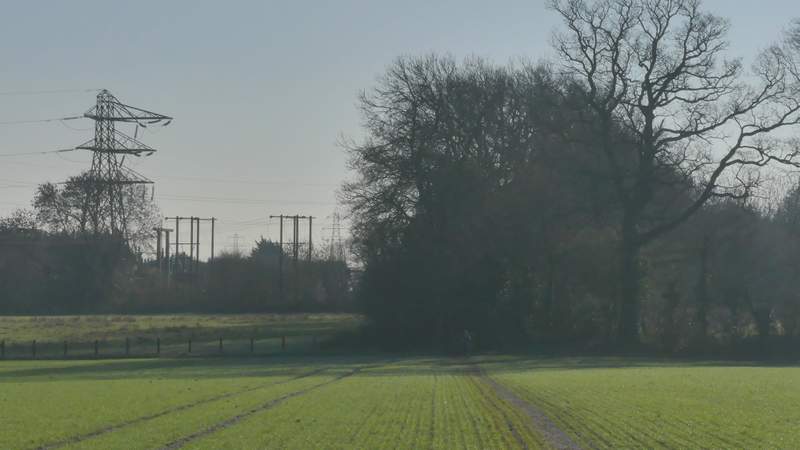
A few yards to the left, and on the other side of the A416, a footpath continued, following a hedgerow on the right of a massive and flat arable field. I followed the hedgerow when it turned slightly right, but when it then turned fully right the path continued across part of the field (the frost was melting now, leaving the top of this path with a thin layer of slippery mud). The path continued along a narrow green tunnel formed by tall overhanging hedges of mature trees. At the path's end (or where the path went left and then immediately right to continue in its original direction) I turned right, following a similar path a short distance to reach a road in Lye Green.
The start of the path from the A416 (to Lye Green)
The path from the A416 (to Lye Green)
The path from the A416 (to Lye Green)
The path to Lye Green (after I turned right)