Pete's Walks - Circular walk from Chesham (page 3 of 6)
If you are considering walking this route yourself, please see my disclaimer. You may also like to see these notes about the maps and GPX files.
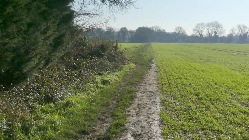
I went a few yards left along the road, then took a footpath going right (where the pavement on that side ended). This path initially ran beside garden fences on the left. Further on the path crossed an irregularly shaped pasture or meadow to a gate, continuing down a drive to reach another minor road, the B4505. I went a few yards left and took a path on the other side, that initially ran along the edge of another flat arable field with a tall hedge on my left. At the end of the hedge the path continued straight on across the field, and then the path ran for a while between hedges and fences. It then carried on along a farm track, before passing through a farmyard or stableyard to reach a road in Botley, where I turned right. I soon came to a junction, where I turned left into Tylers Hill Road.
The start of the path from Lye Green
The end of the path from Lye Green
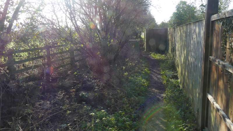
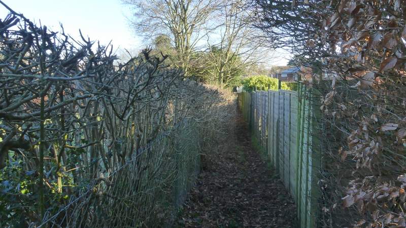
Near the start of the path from the B4505 to Botley
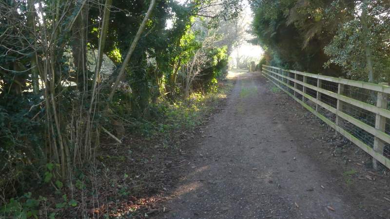
Near the end of the path from the B4505 to Botley
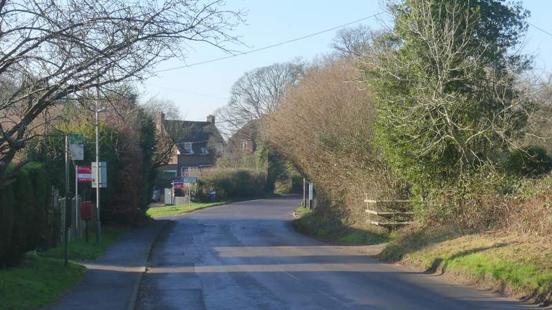
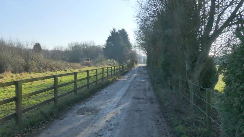
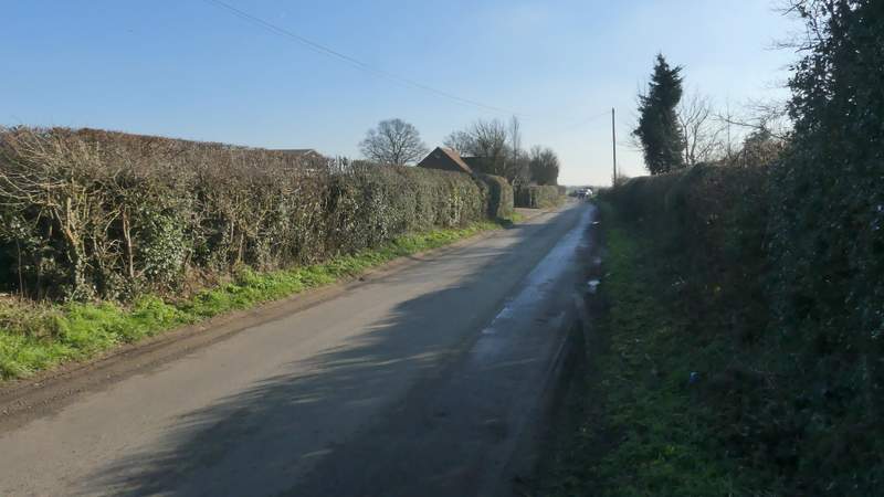
The road through Botley
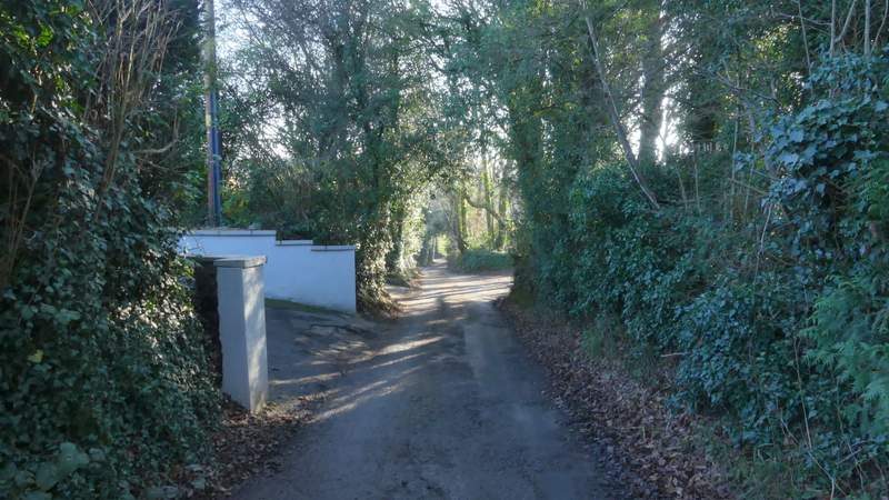
Tylers Hill Road
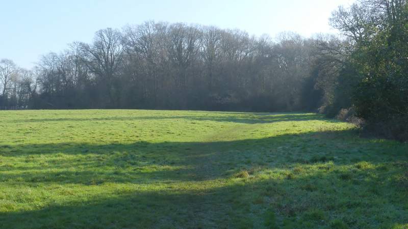
The lane dropped downhill with properties on either side. In the valley bottom I turned left into Broomstick Lane (great name, always reminds me of a certain person I once met) which is just a bridleway, running between garden boundaries and then a hedgerow on the right. After about a quarter of a mile, I took a footpath going right, following the right edge of a pasture to reach Cowcroft Wood. Just inside the wood I went straight on where a path came in from the right, then a short way further on, when I had a large hollow on my right, I turned left (passing a waymark on a post). I went straight on at a path crossroads in the wood, and straight on where a path then went left. When the path appeared to come to a T-junction with another path I went left (the clear path going right is not shown on the OS Map and so is not a right of way) and soon left the wood at a gate.
Broomstick Lane
Broomstick Lane
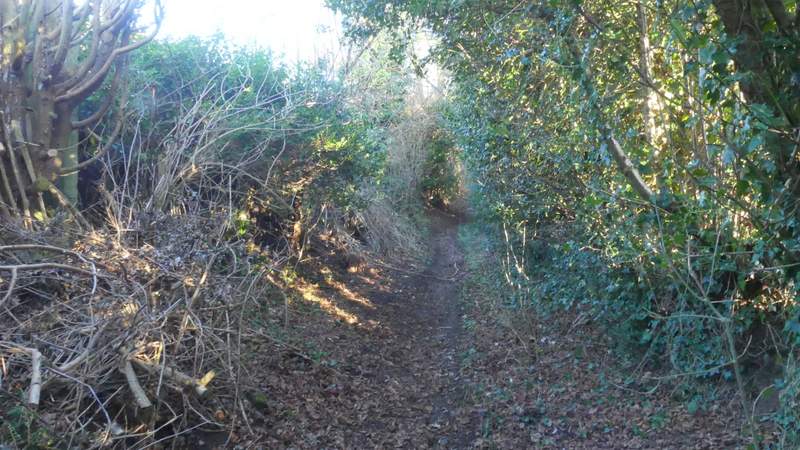
The path from Broomstick Lane to Cowcroft Wood
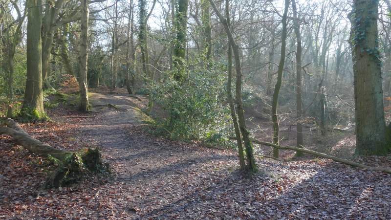
Cowcroft Wood just before I turned left
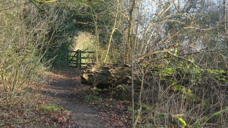
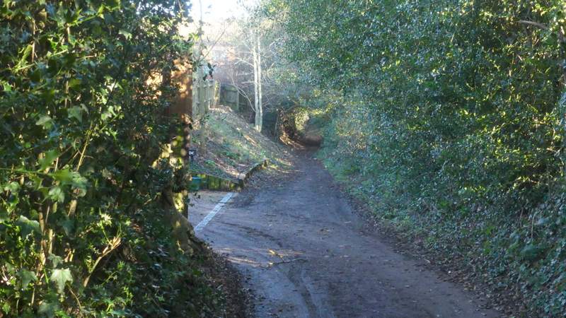
Where the path leaves Cowcroft Wood
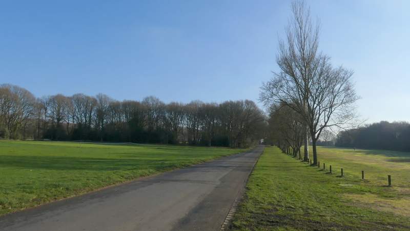
The path continued straight on past two paddocks on my right, and then continued down an alley into Ley Hill. On emerging at a broad track I turned right (past a Primitive Methodist chapel), and then made my way to a point where a road split into three, where I took the middle one (appropriately named Middle Road). At first there was a cricket pitch on my left and part of a golf course on my right. I went straight on at a road hunction where a lane came in on the right, the road name changing here from Middle Road to Horse Hill.
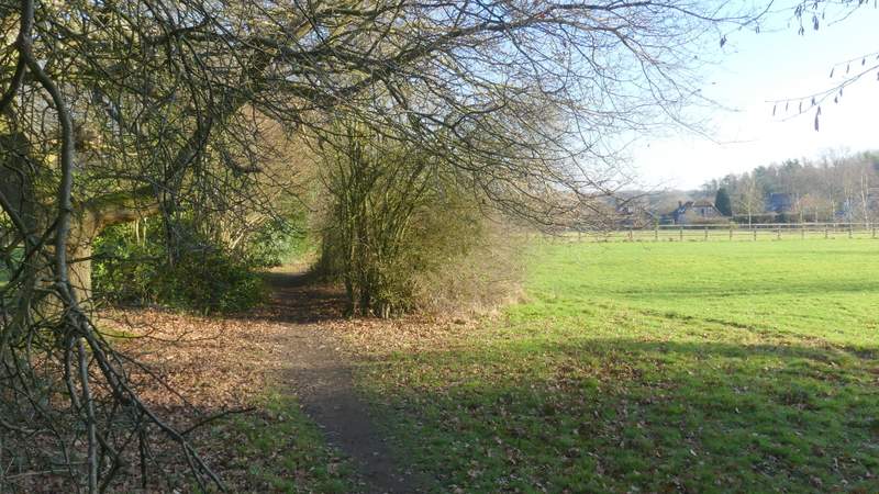
The path continuing from Cowcroft Wood to Ley Hill
The path continuing from Cowcroft Wood to Ley Hill
Middle Road, Ley Hill
Horse Hill, Ley Hill