Pete's Walks - Studham Common, Great Gaddesden, Hudnall (page 1 of 3)
If you are considering walking this route yourself, please see my disclaimer. You may also like to see these notes about the maps and GPX files.
Google map of the walkDownload GPX file of the walk
I did this circular walk of about 8 miles on Saturday, 26th January 2019. I actually set off intending to repeat Walk 2 of my Chiltern Chain Walk but cut the walk short because of some light rain (I know, I'm a wimp!).
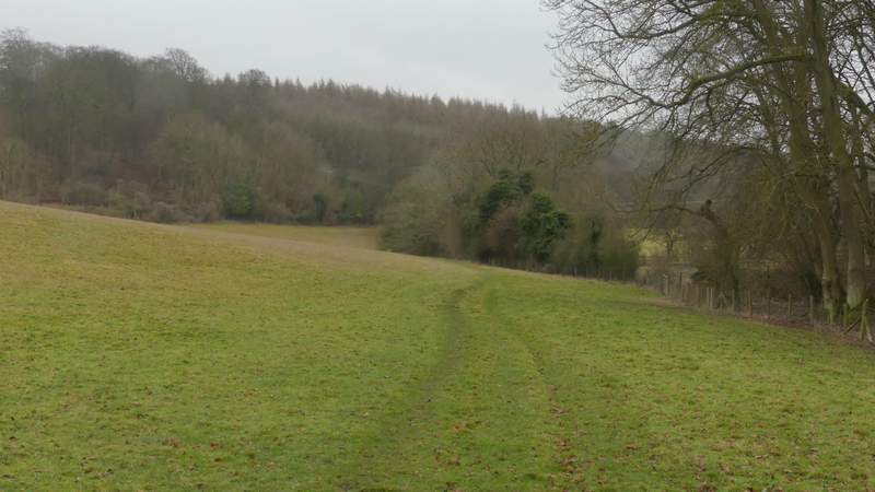
I set off from the car park on Studham Common (Grid reference TL 027156) about 10.40am, taking the path heading east along the top of the common. which dropped gently downhill on my left. In the corner of the common, I took a footpath going right, following a hedge and then Great Bradwin's Wood on my left. At the end of the wood there was a gap where a track went left. Here I went through a small gate, beyond which the footpath continued between fences with paddocks either side. It then carried on down a gravel drive with a tall hedge on my right. This brought me to a minor road where I turned left, following the road where it soon turned right.
The path along the top of Studham Common
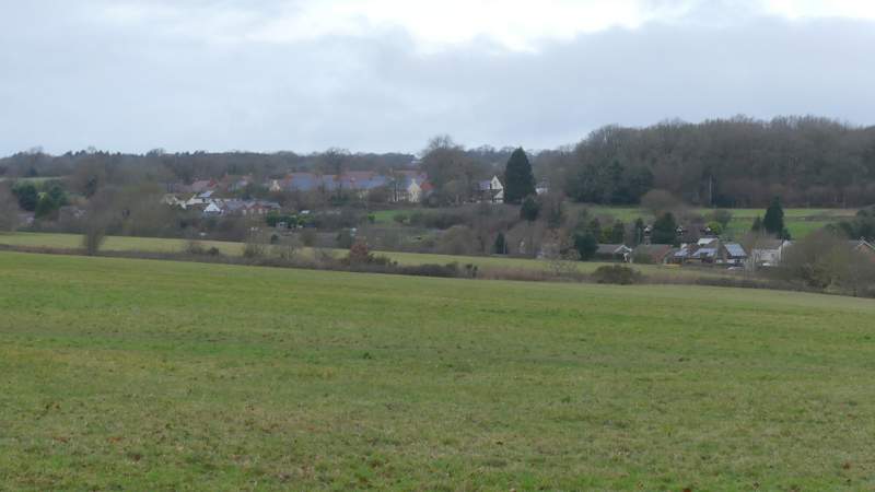
View back across Studham Common to Studham
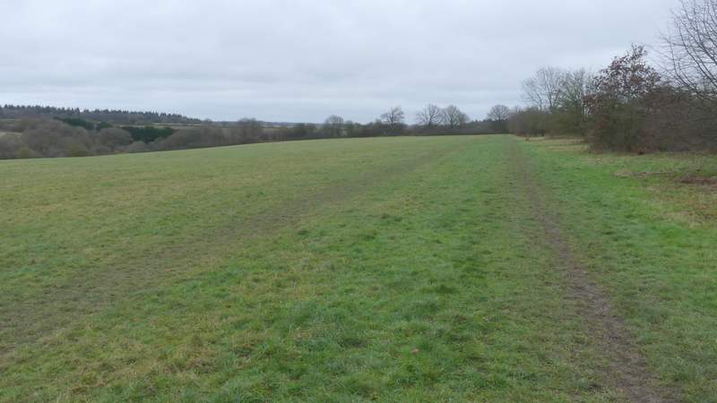
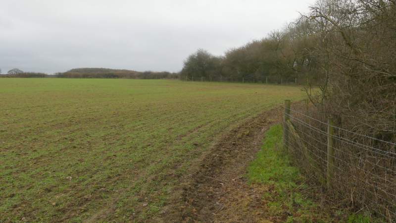
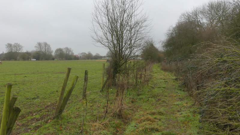
The path passing Great Bradwin's Wood, after I turned right at the corner of Studham Common
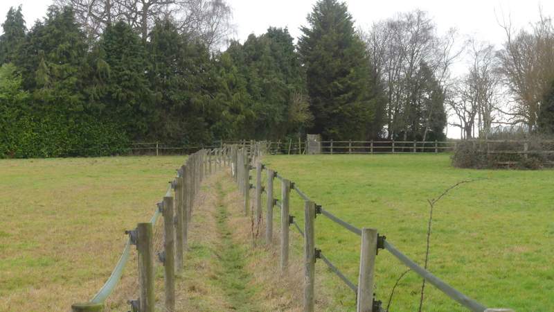
The same path continuing between paddocks
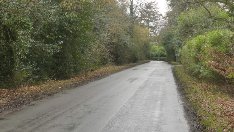
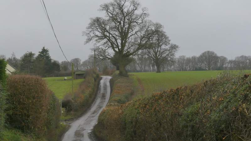
The road, after it turns right (I turned left roughly where the road goes out of view in this shot)
I followed the road as far as the entrance to Barwythe Lodge on the right, where I took a footpath going left that followed the left edge of a large field. In the field corner the path turned right. The path stays to the right of the hedge where a path goes left, then switches to the left of the hedge just a short way further on. I was now on the edge of a huge arable field (it was a cow pasture the last time I came this way, about six and a half years ago). It was several hundred yards to the next field corner, which was strangely staggered so that I had to turn left, right, left and right again. The field boundary then finally turned left for a third time, but here I went through a gate and then turned left along the other side of the hedge.
The path after I turned left from the road
The same path after it turns right in the field corner
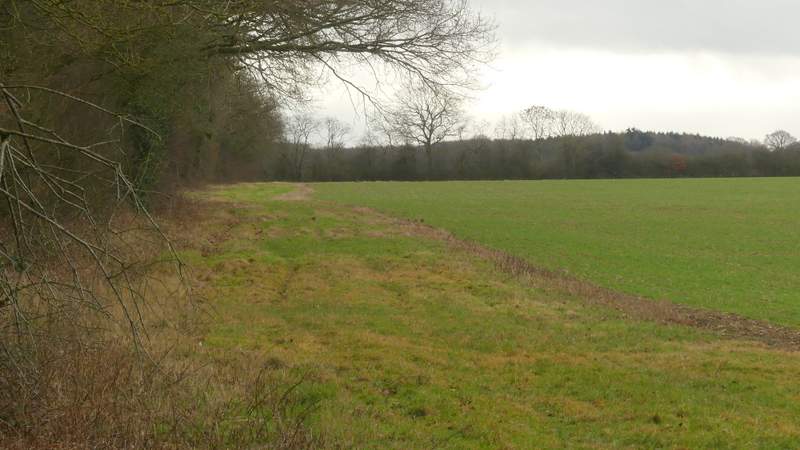
The path after I switched to the left of the hedgerow
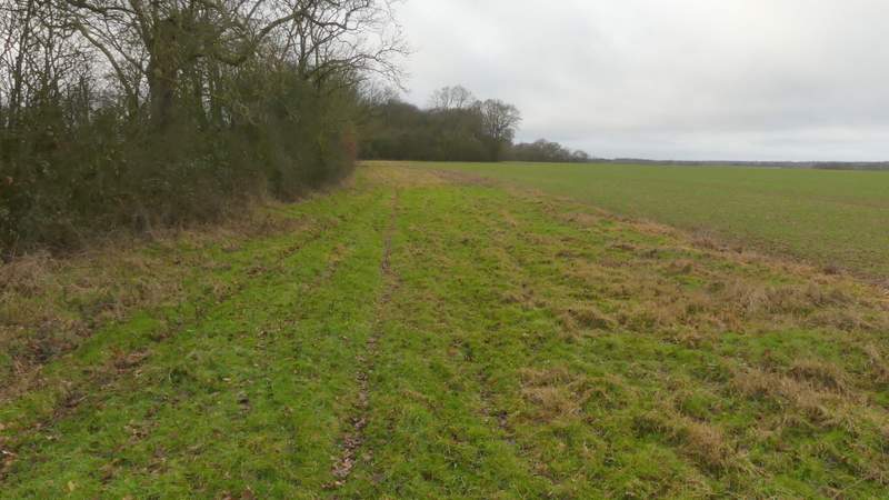
The same path, where it turns right the first time in the odd-shaped corner of this huge field
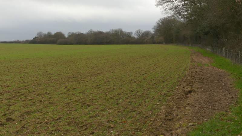
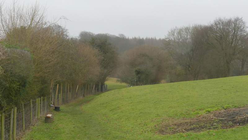
The path after I went through a gate and continued along the other side of the hedgerow (it goes through a gate in the corner, where I turned right along the far side of the hedgerow)
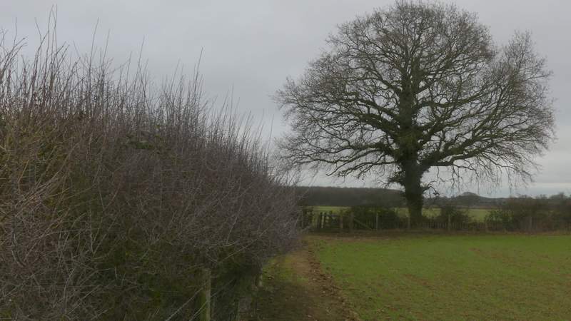
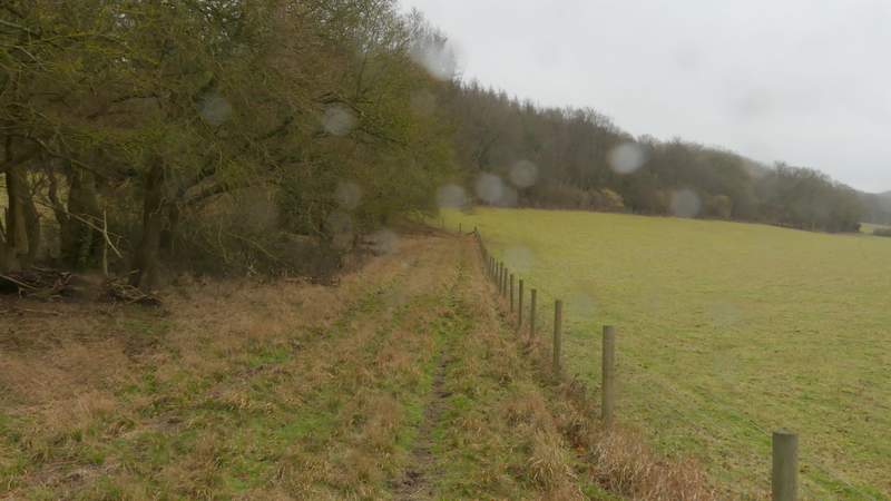
In the next field corner I went straight on through a gate, then turned right along the far side of another hedgerow - I was now back in another part of the same large field I'd been in before. I finally left it at the next field corner, where I went straight on, following a tall hedge of mature trees on my left beside another arable field. The weather forecast had said there'd be no rain until 3 or 4pm, so I was now very disappointed that it started to drizzle. I followed the edge of the field where it turned right, but immediately before it turned left I went left at a gate, and followed a clear path that eventually brought me to a lane on the edge of Jockey End (the main settlement at Gaddesden Row).
The path after I turned right, back in the same huge field
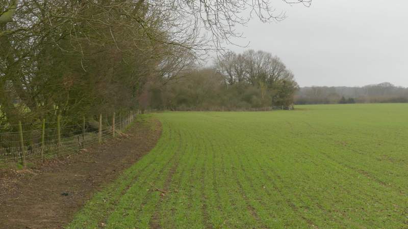
The path continuing through the next field (it goes through a gate at the right end of the bushes and trees sticking out into the field)
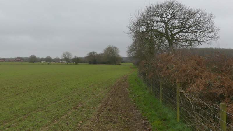
The path continuing towards Jockey End
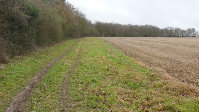
The path continuing towards Jockey End (actually the OS Map shows this section is a byway)
I went a short way right along the lane, then turned left along a path that followed a hedge on my left. I went straight on through an open gateway in the corner of this field, now with a tall hedgerow on my right. Just after a gap in the hedge, a finger-post indicated where the path switched to the right of this hedge. There was a nice view here, but the drizzle was now light rain and I couldn't help getting some spots of rain on my camera lens, which rather marred some of the photos I took. Fortunately, I soon got some temporary partial shelter from the rain when the path entered Hoo Wood.
The lane on the edge of Jockey End (I turned left in the dip)
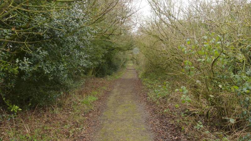
The start of the path to Hoo Wood
The path to Hoo Wood

View right from the path to Hoo Wood
The path to Hoo Wood (I'd managed to get raindrops on my camera lens)