Pete's Walks - Studham Common, Great Gaddesden, Hudnall (page 2 of 3)
If you are considering walking this route yourself, please see my disclaimer. You may also like to see these notes about the maps and GPX files.
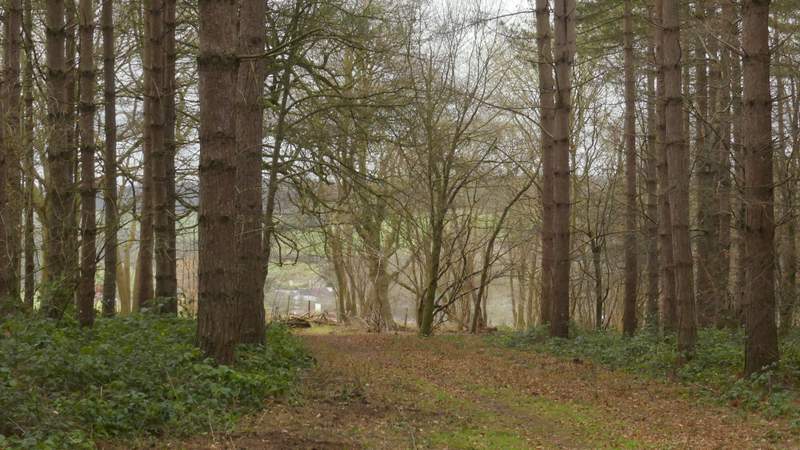
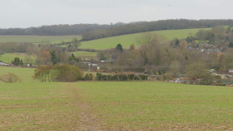
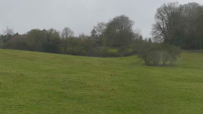
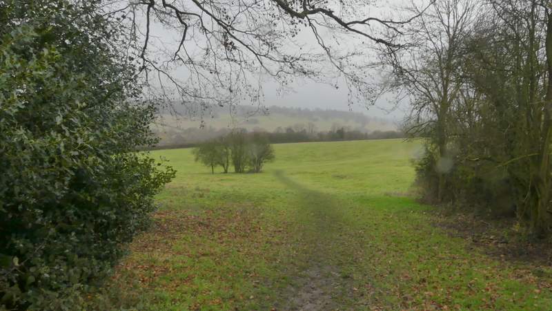
The path immediately turned right in Hoo Wood, then gradually moved further away from the field that was now over to my right. I went straight on when a track crossed the path, and eventually reached a gate on the far side of the wood. The path went straight on here, descending across a large arable field with a fine view ahead over the Gade valley around Great Gaddesden. On the far side of this field the path continued alongside a hedge on my left as it curved right, then passed the end of a row of houses (on the outskirts of Great Gaddesden) to reach the A4146, the main road that runs through the Gade valley.
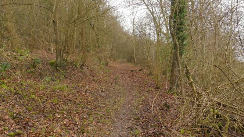
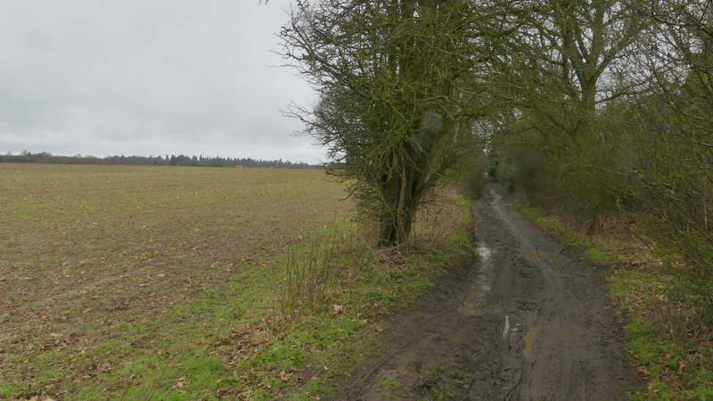
Hoo Wood
Hoo Wood
Hoo Wood
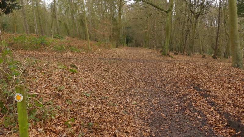
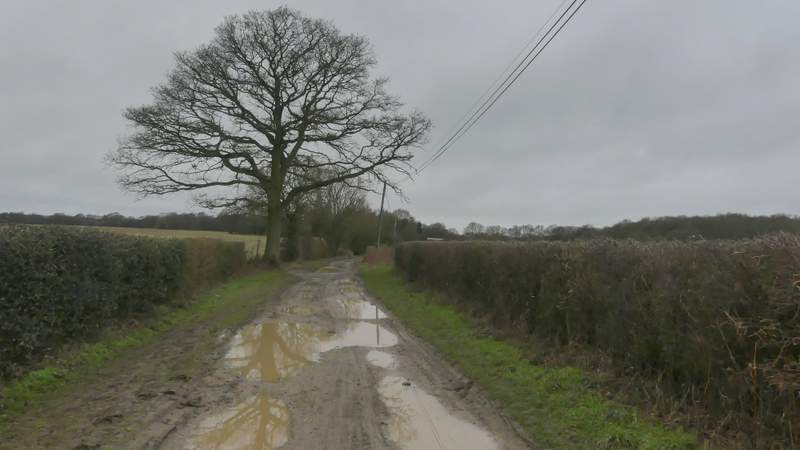
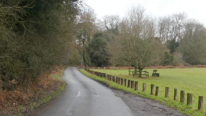
The path continuing from Hoo Wood down to the road at Great Gaddesden
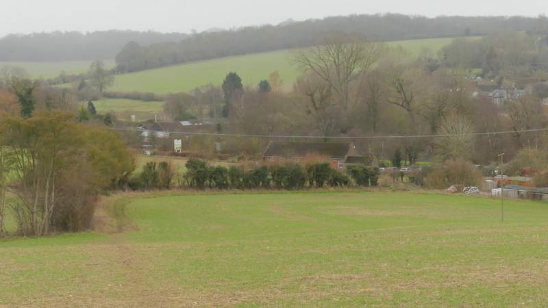
The path continuing from Hoo Wood down to the road at Great Gaddesden
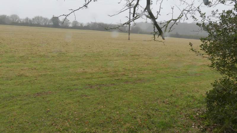
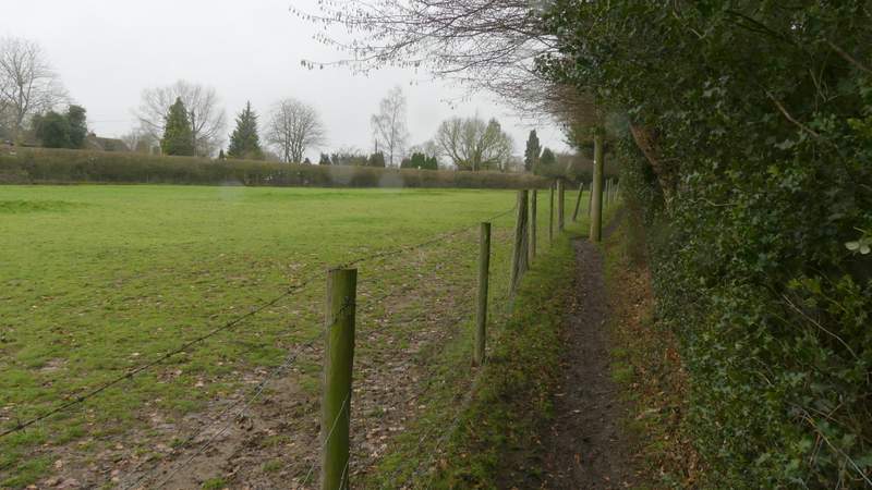
Across the road a path went slightly right over part of a water meadow to reach a footbridge over the river Gade (sadly there was no water in evidence at all here today, just what looked more like a muddy path). It was now raining a bit more heavily and I think by this time I'd already decided to shorten the walk. Over the bridge the path turned left to head towards a gate (in line with the church tower). Beyond this gate I turned right along a street in Great Gaddesden, which soon turned slightly left. At the end of the street I took a path starting just to the right of some garages, which went half-right across a large empty pasture that sloped gently uphill. At a corner of this pasture, the path continued across another pasture, still rising very gently. It then continued between a wire fence on my left and a small wood to reach St Margaret's Lane, almost opposite a Buddhist monastery (apparently this area is named St Margaret's after a convent that was here from about 1160 to the dissolution of the monasteries, part of the building then being used as a manor house which remained until the 1800's).
The path crossing the footbridge over the river Gade at Great Gaddesden (the dampest part of the walk)
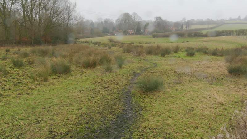
What looks like a muddy footpath is actually the course of the river Gade! More rain-spots on my camera Lens
The start of the path from Great Gaddesden to St Margaret's
The path from Great Gaddesden to St Margaret's
Looking back along the path from Great Gaddesden to St Margaret's
The path from Great Gaddesden to St Margaret's
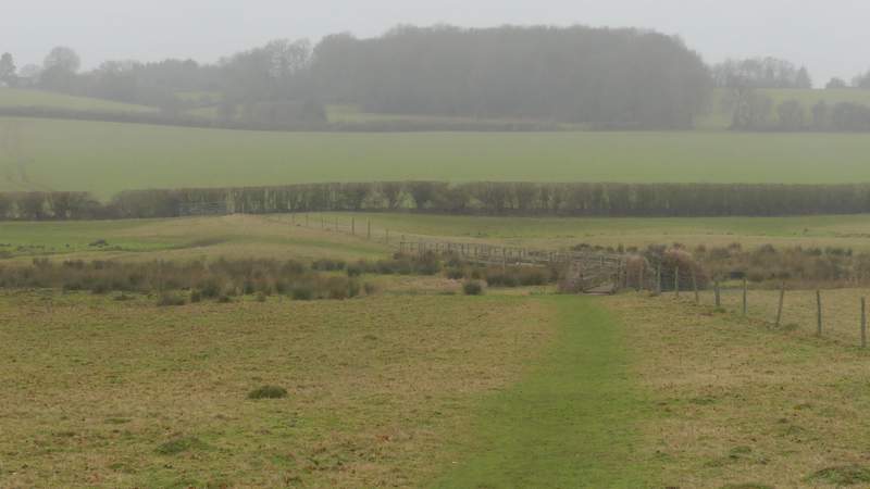
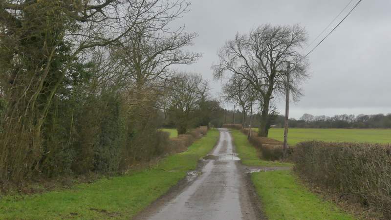
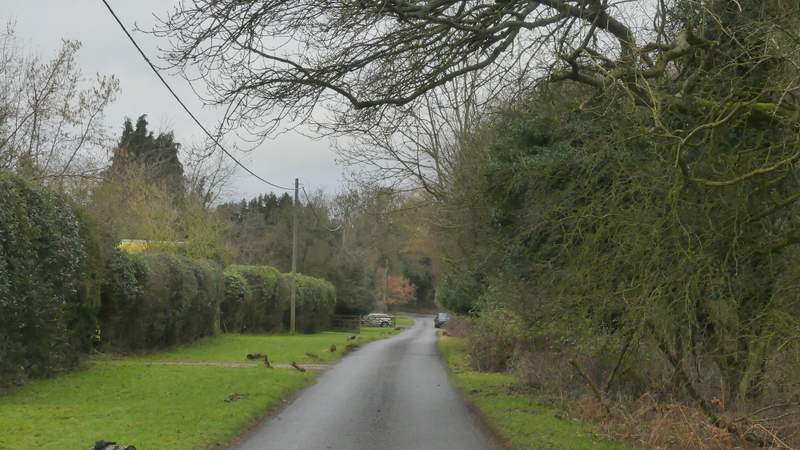
It was here that I changed from my intended route, and turned right along St Margaret's Lane. As I followed the lane, which after a quarter of a mile or so became a rather muddy track, the rain disappeared. I considered rejoining my original route by turning left at a path junction about three-quarters of a mile from where I joined the lane (I'd have just gone round the other two sides of a rectangle of paths) but there were a few spots of rain just as I got to that junction so I carried straight on. Soon I was passing a few properties at Hudnall, one with the intriguing name of Covetous Corner, and then I passed through Hudnall Common before the lane continued past more properties on my left to reach a minor road.
St Margaret's Lane
St Margaret's Lane
St Margaret's Lane
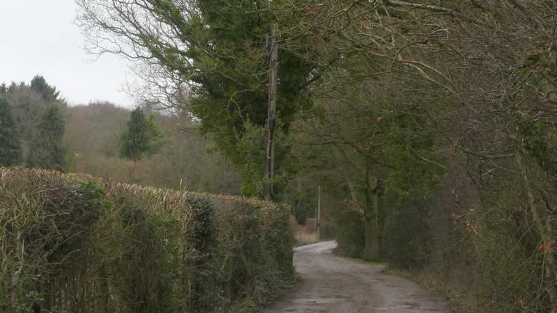
St Margaret's Lane
St Margaret's Lane
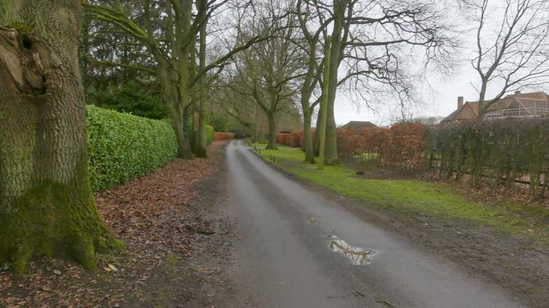
St Margaret's Lane, passing Hudnall Common
St Margaret's Lane (possibly called something else now it's in Hudnall)