Pete's Walks - Cowleaze Wood, Chinnor, Ibstone (page 1 of 7)
If you are considering walking this route yourself, please see my disclaimer. You may also like to see these notes about the maps and GPX files.
I did this circular walk of about 16.5 miles on Saturday, 6th April 2019. It was a repeat of a walk I first did in February 2016 (I've since repeated it in July 2017, and also walked it in the opposite anti-clockwise direction in October 2016).
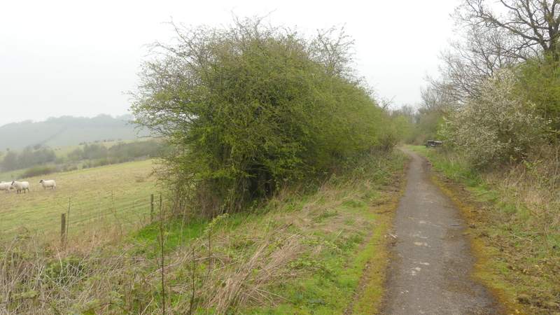
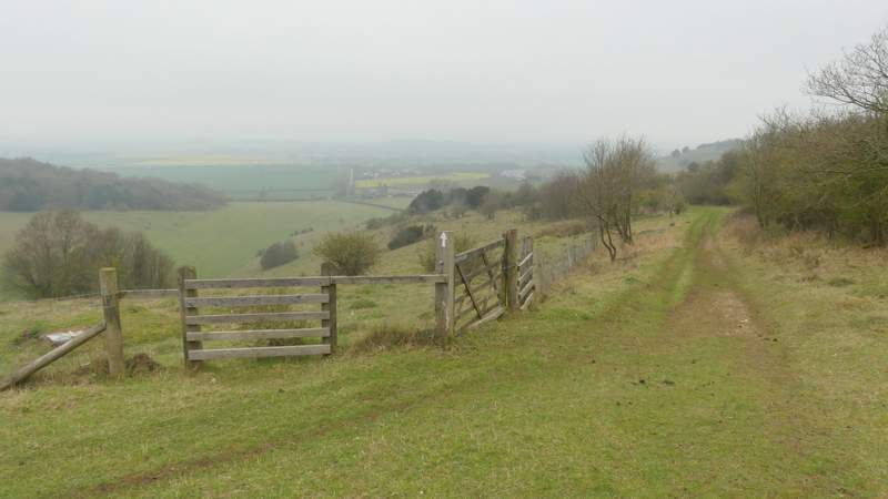
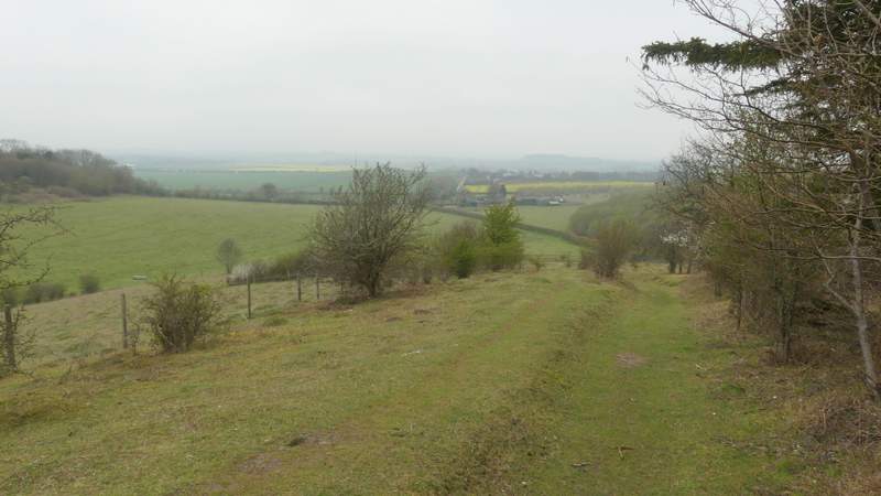
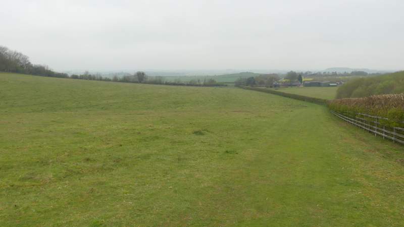
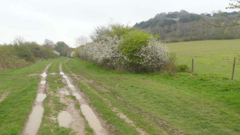
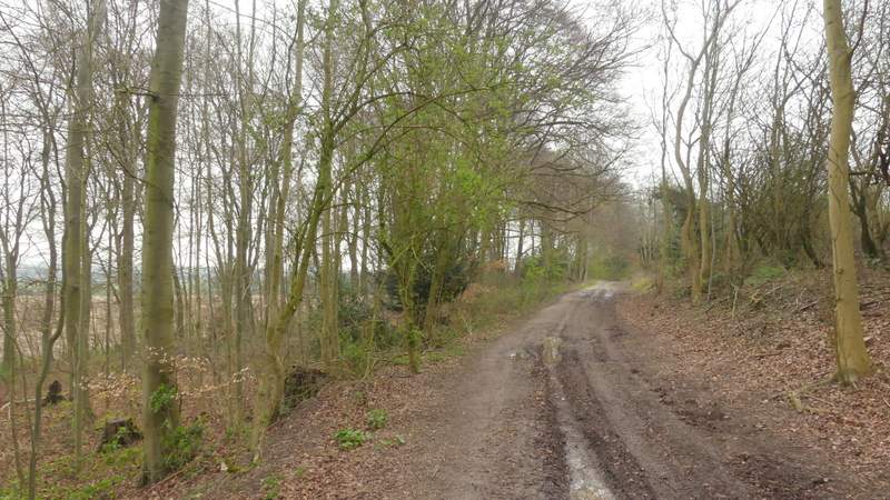
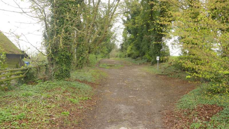
I parked in the Cowleaze Wood car park (grid reference SU 726956), and started walking about 9.55am. I went through the car park, with the road on my left until I reached a notice board (on the left) about the Aston Rowant nature reserve. Here I crossed the road, went through a gate and turned right, following a path parallel to the road along the edge of the nature reserve. After crossing a track, the path was partly tarmac - I think it's the route of the old road here before it needed diverting when the M40 was built in the 1960s. After a few hundred yards I turned left through a gate (there were a couple of bird watchers nearby, looking for Ring Ouzels) and started the long descent of Linkey Down, with a fine view ahead of me out over the Oxfordshire Plain. This was very pleasant, despite the background noise of the traffic on the nearby M40. This hillside is part of the nature reserve and there were one or two small information boards along here, including one about Yew trees. At the bottom of he slope, the path followed a hedge on my right through a large meadow or pasture, to reach Hill End Farm. A lane started here, which I followed for two or three hundred yards until it was crossed by the Ridgeway national trail (there was a group of 20 or so walkers here, listening to their leader).
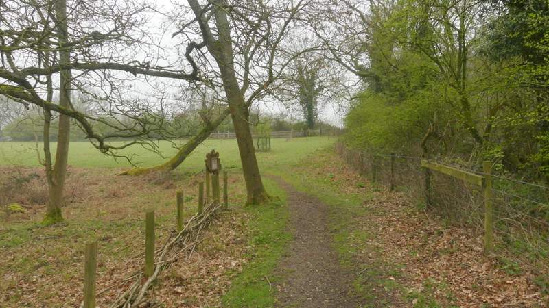
The start of the path through the Aston Rowant nature reserve, running parallel to re road past Cowleaze Wood
The path through the Aston Rowant nature reserve
The start of the path descending Linkey Down, after I turned left
The path descending Linkey Down
The path descending Linkey Down
The path descending Linkey Down
The lane from Hill Farm
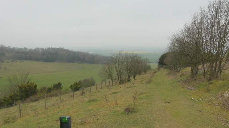
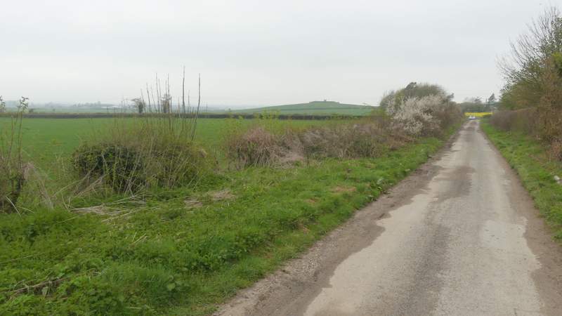
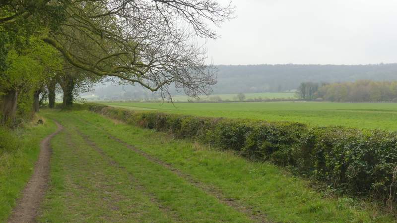
I turned right along the Ridgeway, which here is a broad grassy strip between hedges - most of the Ridgeway runs along the top of Chiltern escarpment, but hereabouts it runs for several miles at the foot of the slope and I would now be following it northeastwards for several miles. I soon reached the bridge under the M40 (looking back I was relieved to see the large group of walkers still listening to their leader, I'd have hated to have had to walk in amongst them). I then soon passed the foot of Beacon Hill on my right, passing a small area of Beech trees on my route. A little further on I crossed the A40, and then there was a lengthy section where I could see a long and heavily wooded section of the Chiltern escarpment over the fields on my right. Somewhere along here I spotted a clump of yellow flowers that from a distance I assumed would be Daffodils, but which turned out to be False Oxlip.
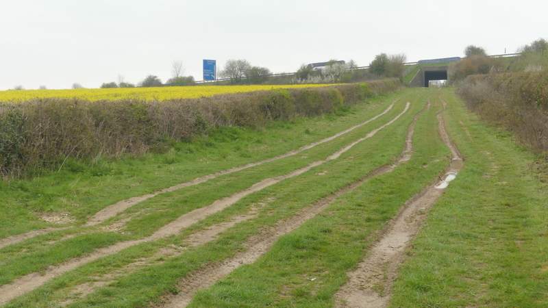
The Ridgeway, heading to the M40 bridge
The Ridgeway, heading to the foot of Beacon Hill
The Ridgeway, passing the foot of Beacon Hill
The Ridgeway just after crossing the A40
The Ridgeway, heading northeast towards Chinnor
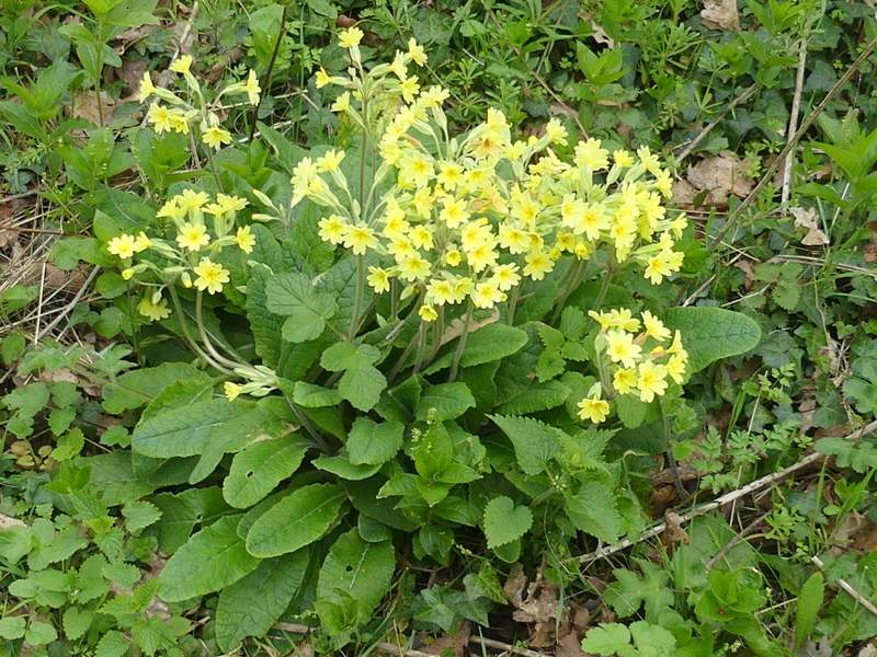
False Oxlip, along the Ridgeway
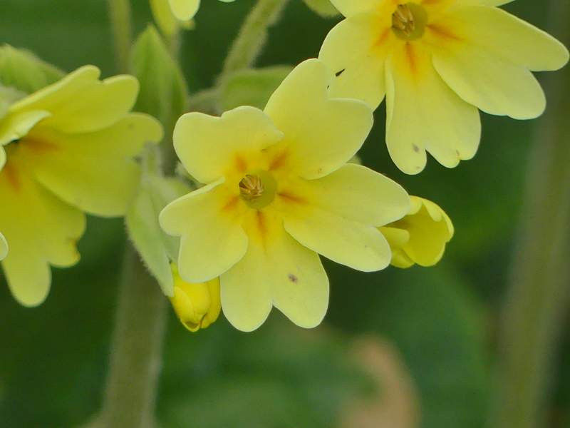
False Oxlip (it's the hybrid between Primroses and Cowslips