Pete's Walks- Wigginton and Barn Wood (page 3 of 6)
If you are considering walking this route yourself, please see my disclaimer. You may also like to see these notes about the maps and GPX files.
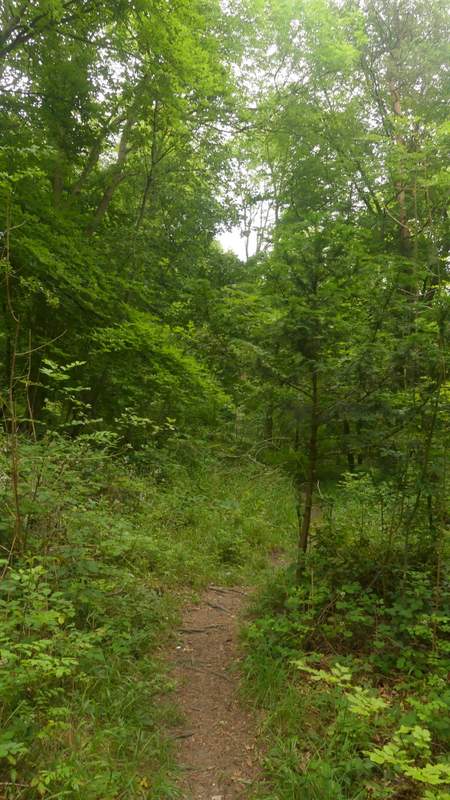
Altogether I followed the path along the track from the visitor centre for about three-quarters of a mile. Then just after the track turned to the left I reached a junction marked by a waymark post on the left, where I turned left. After some distance I went straight on at a path crossroads (the crossing path isn't shown on the OS map), Then I came to another junction where a path (again not on the OS map) came in sharply from the right - a waymark indicated I kept left here. A bit further on I came to an apparent junction where a path went right (last time I did this walk I saw a waymark pointing right here, but I didn't notice one today) but I went straight on along another faint path (this is all an Open Access area) which rose uphill at a fairly easy gradient (Note: if I had turned right at that 'junction', I could have saved myself an 'up and down'). A little to my right, through the trees, I could see an old sunken lane and after a while I was walking almost next to it.
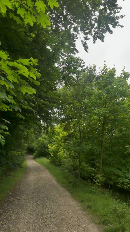
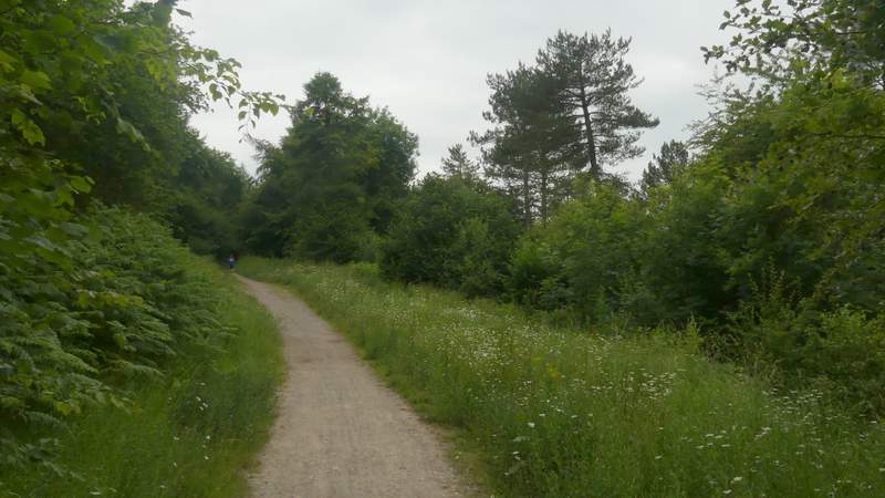
The path from the visitor centre
The path from the visitor centre
The path from the visitor centre
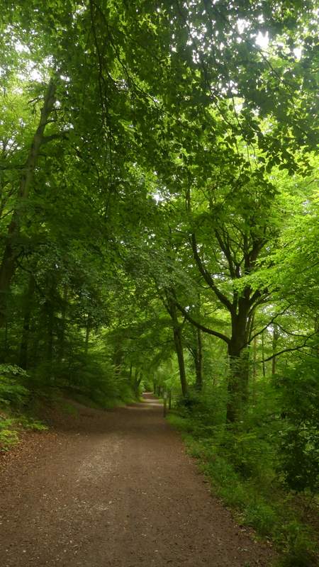
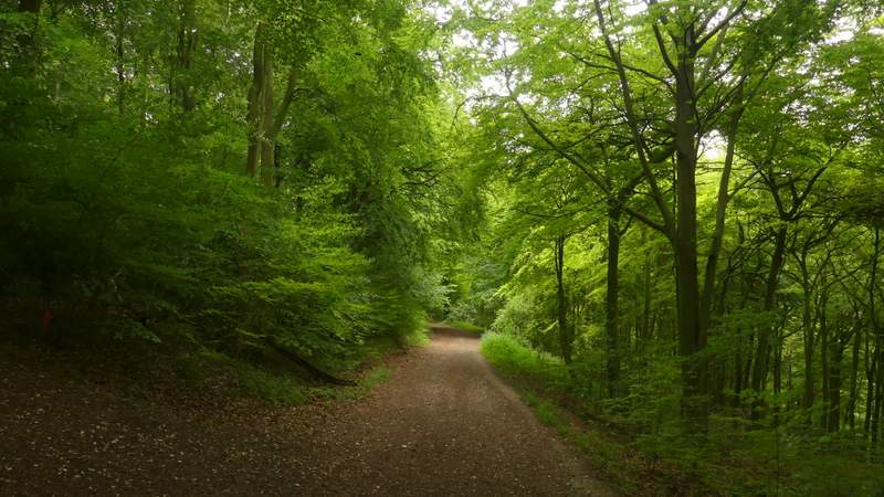
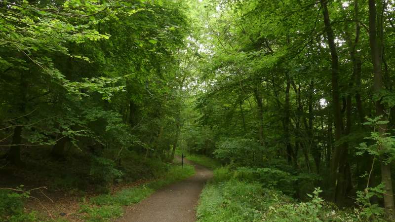
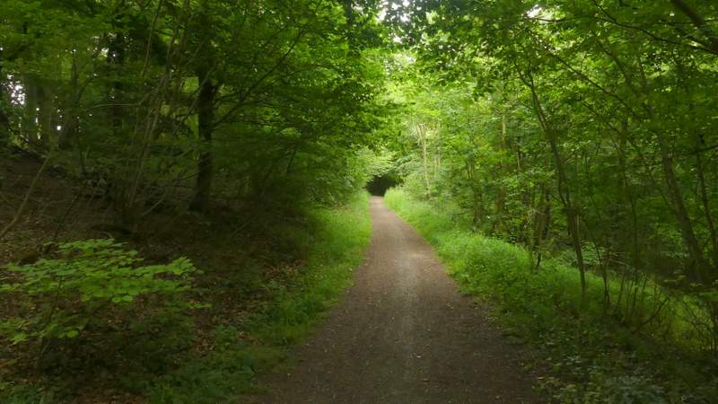
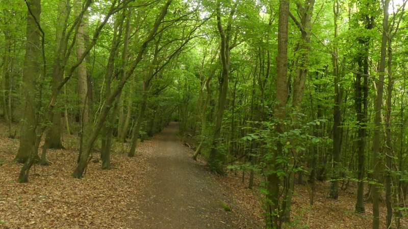
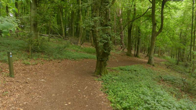
The path after I turned left from the long path from the visitor centre
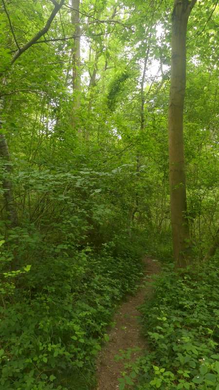
The path after I turned left from the long path from the visitor centre
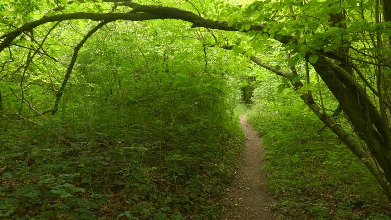
The path after I turned left from the long path from the visitor centre
The path after I turned left from the long path from the visitor centre
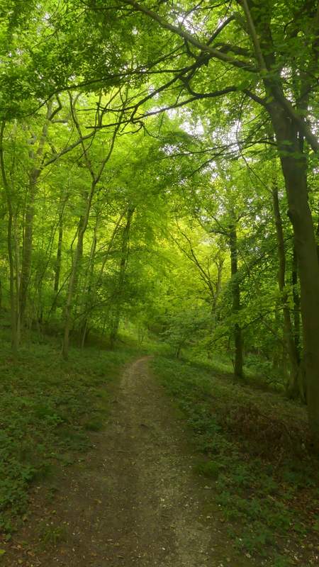
The path going uphill next to a sunken lane (that I'd soon be going down)
Near the top of the slope I came to a junction, where I turned right and almost doubled-back on myself to follow another section of the Ridgeway as it descended the sunken lane or 'hollow way'. Near the bottom of the slope, the Ridgeway turned left out of the sunken lane (if I'd turned right earlier I would have reached this point in a few yards without going up and down the hill), and followed another path back up the hill at an angle with an edge of the wood just on my right. At the top of the slope, the path levelled out and turned slightly right, soon going straight on over a crossing path and shortly after reaching Hale Lane.
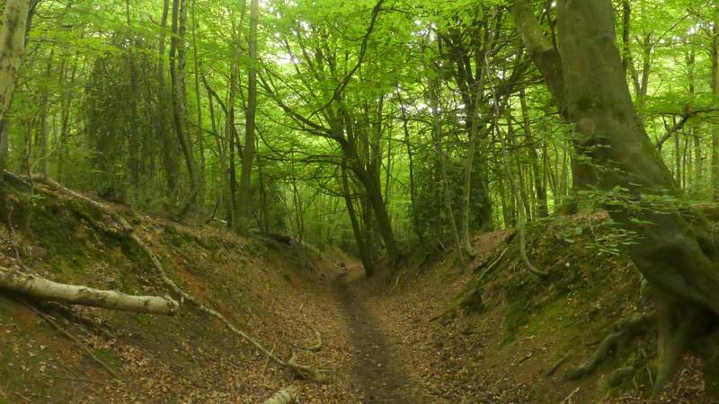
The Ridgeway, descending the sunken lane

The Ridgeway, descending the sunken lane
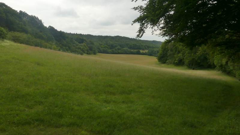
View from where I turned left from the Ridgeway
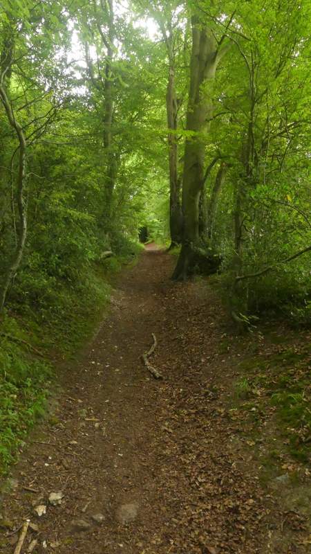
The Ridgeway going back uphill, after turning left from the bottom of the sunken lane
The Ridgeway approaching Hale Lane
I went a few yards right, then the Ridgeway continued along a track on the other side of the lane. It was now a very easy mile of walking, the clear track running through Hale Wood and then Barn Wood, with the steep slope of the Chiltern escarpment descending through the trees on my right. Eventually, a hundred yards or so after passing a large area on my left that had been cleared and re-planted since I was last here, I turned left where a wooden fingerpost marked the junction.
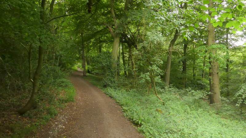
The Ridgeway continuing through Hale Wood, after crossing Hale Lane
The Ridgeway continuing through Hale Wood
The Ridgeway continuing through Hale Wood/p>
The Ridgeway continuing through Hale Wood
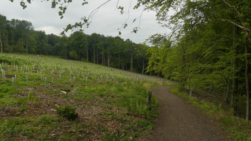
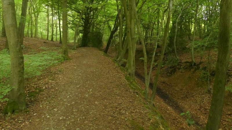
The Ridgeway in Barn Wood (this area has been cleared and replanted since I last came this way)
The Ridgeway in Barn Wood, just before I turned left