Pete's Walks- Wigginton and Barn Wood (page 2 of 6)
If you are considering walking this route yourself, please see my disclaimer. You may also like to see these notes about the maps and GPX files.
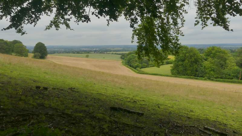
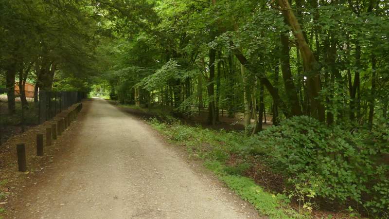
It was quite steep as I followed this path up Aston Hill, initially just inside a wood with pastures just to my right - I stopped a couple of times to take a phot of the view out to the Vale of Aylesbury. Further up the hill the pastures ended, and I now had another wood, Astonhill Coppice, on my right - there is a mountain bike centre here, with marked trails and other features, but I only saw one or two cyclists there today. The footpath finally reached the drive from Aston Hill Farm, which I followed to reach the minor road that climbs Aston Hill.
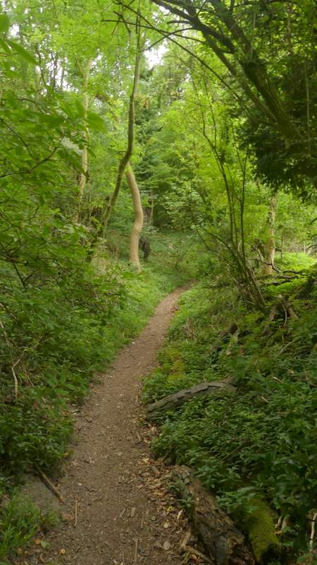
The path up Aston Hill
View right from the path up Aston Hill
The path up Aston Hill
View right from the path up Aston Hill
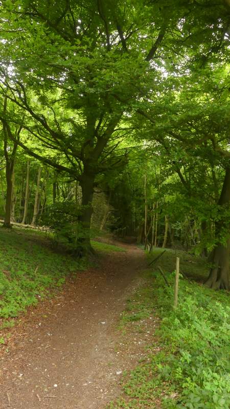
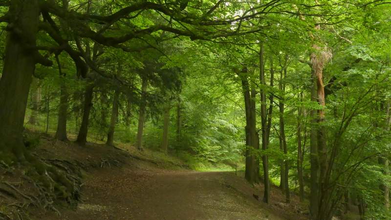
The path up Aston Hill
The path up Aston Hill
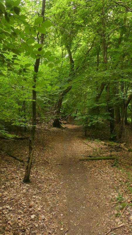
The path up Aston Hill, now beside Aston Hill Farm
The drive from Aston Hill Farm
The drive from Aston Hill Farm
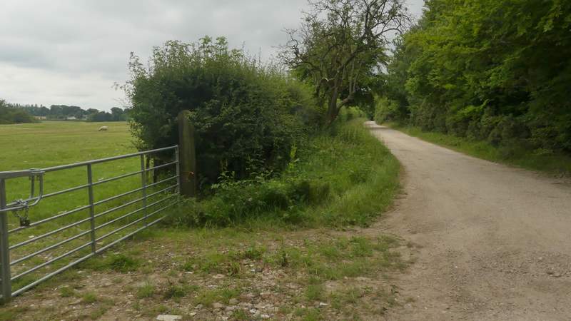
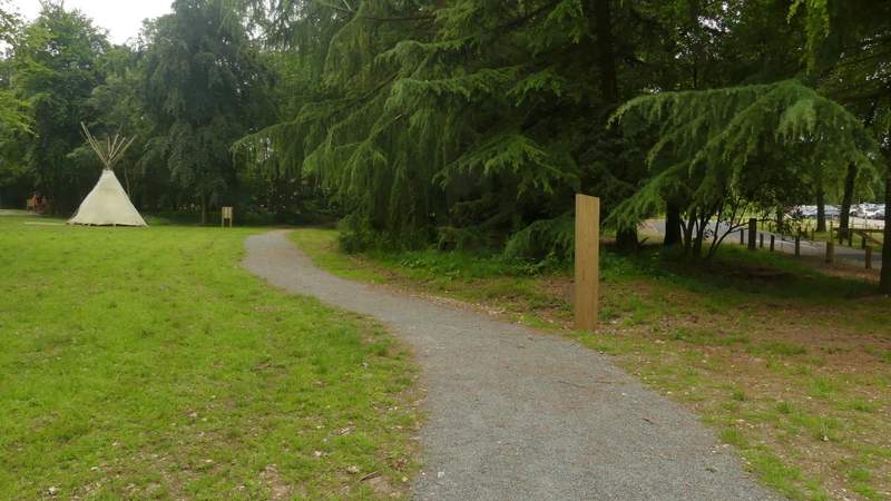
Across the road, a footpath has been diverted in recent years a few yards to the left (it used to go straight through a garden) It starts for a few yards between trees to reach a gravel drive. There is a path fork here, one path following the drive to the right, but I continued straight on, crossing a stile and going diagonally across a meadow (with an Ordnance Survey column in the middle, which seemed to bear traces of pink paint). On the far side of the pasture, the path entered part of Wendover Woods and I turned left. After a little while the path joined the surfaced drive to the visitor centre, where I continued straight on. I followed the drive for about a quarter of a mile, staying on it as it curved left as it passed the car park on my right. At the entrance to the car park, where the drive went left, I made a quick detour to visit the highest point in the Chilterns a few hundred yards to the left (Haddington Hill, 876ft above sea level). I then took a path a few yards left of the car park entrance, soon passing the visitor centre on my right. I then continued on down a broad track starting a short way to the left of a new toilet block.
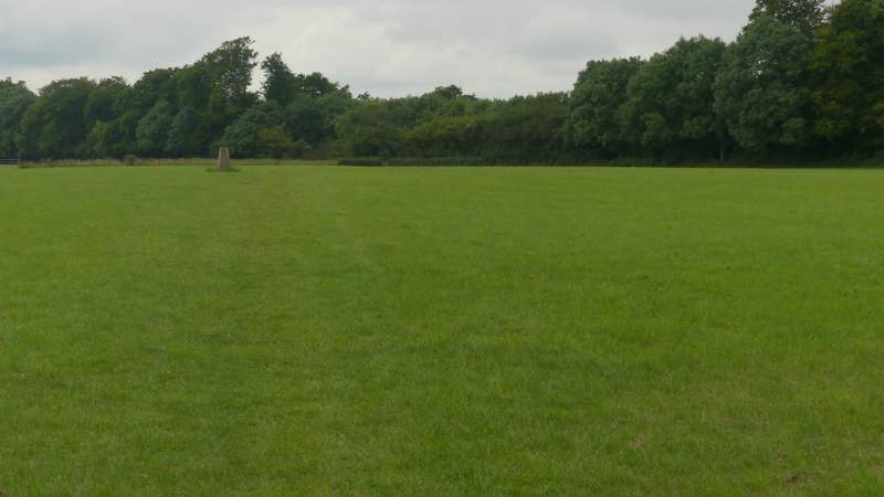
The field on top of Aston Hill
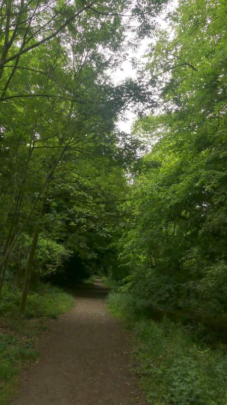
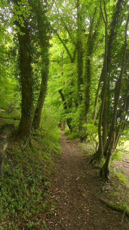
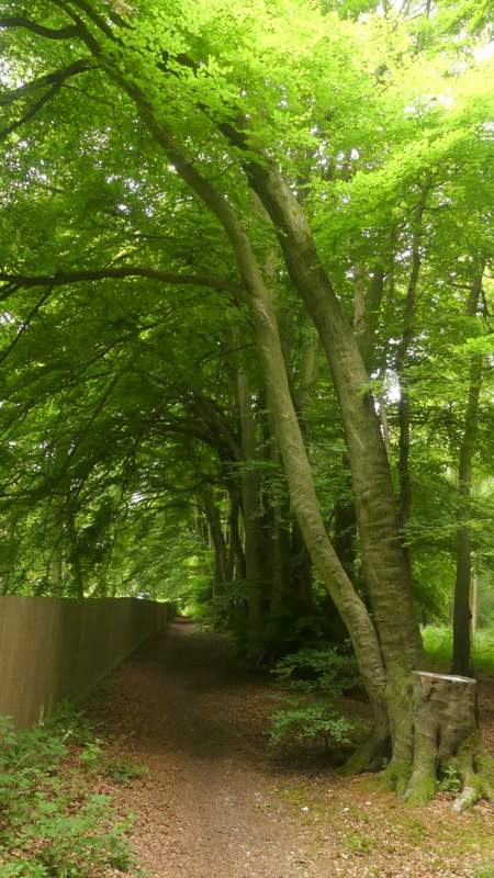
The path heading to the drive to the Wendover Woods visitor centre

The drive to the Wendover Woods visitor centre
The path to the Wendover Woods visitor centre
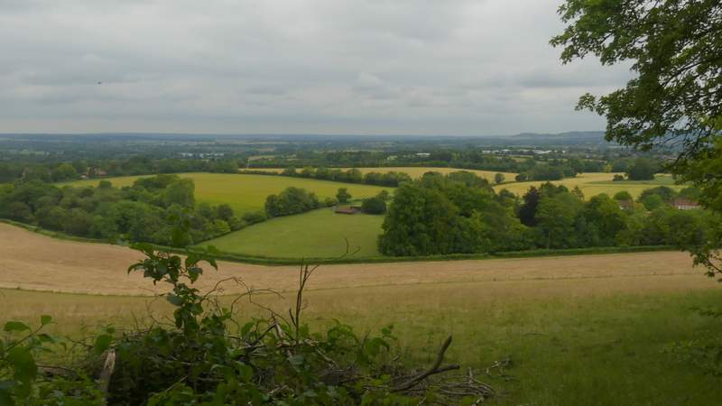
A short way down this path there was a grass area on the right with a view over a valley called The Hale - the Gruffalo can often be seen here admiring the view. I stayed on the broad track that was descending very gently through the attractive woods, with a steep slope down through the trees on my right.
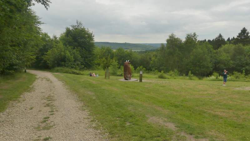
The Gruffalo admiring a view from Wendover Woods
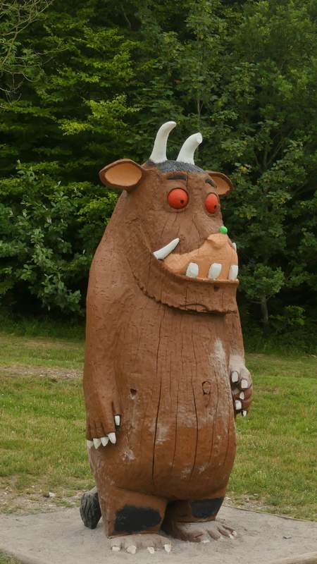
The Gruffalo
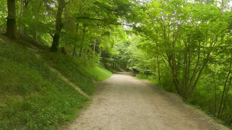
The path from the visitor centre
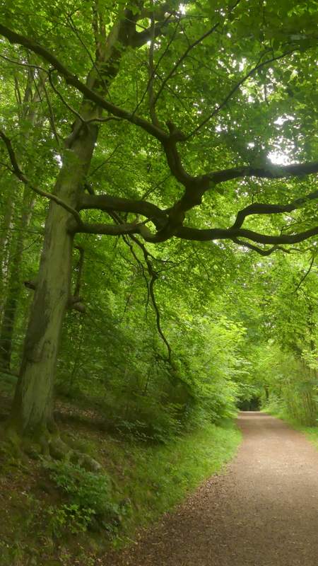
The path from the visitor centre
The path from the visitor centre