Pete's Walks - Whiteleaf Hill and Little Hampden (page 1 of 3)
If you are considering walking this route yourself, please see my disclaimer. You may also like to see these notes about the maps and GPX files.
I did this walk of about 6 miles on Saturday, 22nd February, 2020. It was a repeat of a walk I first did in March 2012 (on that day I did it immediately after doing a 7-mile walk from Whiteleaf Hill to Loosley Row and back, the two circular walks combining to make a very pleasant 13-mile route). This was my first walk for four weeks, due mainly to a virus I had, though I wouldn't have been able to walk anyway because of storms Ciara and Dennis.
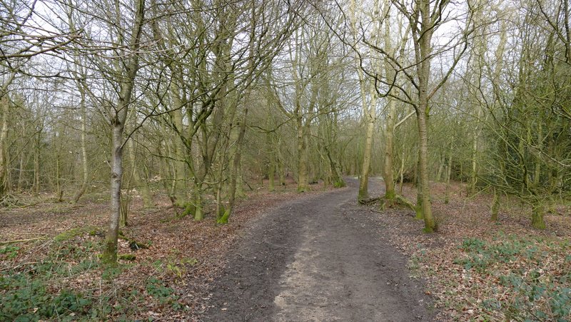
It was about 1.05pm as I left the car park on Whiteleaf Hill (grid reference SP823036), taking the short path from the far end of the car park (starting by an information board) and then turning right along part of the Ridgeway National Trail. I passed some First World War practice trenches to the right of the path, then passed the 5,600-year old Neolithic barrow on top of Whiteleaf Hill. The views out over the Vale of Aylesbury were somewhat limited by the very grey conditions (it was also very windy, at some points on the walk I struggled to hold my camera steady). I continued along the Ridgeway (white acorn symbols) as it turned right and entered Giles Wood and started a fairly steep and lengthy descent to Lower Cadsden. At the bottom of the hill I passed in front of the pub (The Plough at Cadsden, where David Cameron once accidentally left one of his children behind) to reach a minor road.
The Ridgeway, heading towards Whiteleaf Hill
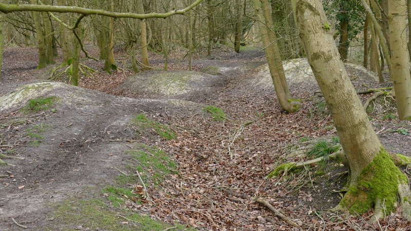
The remains of World War I practice trenches on Whiteleaf Hill
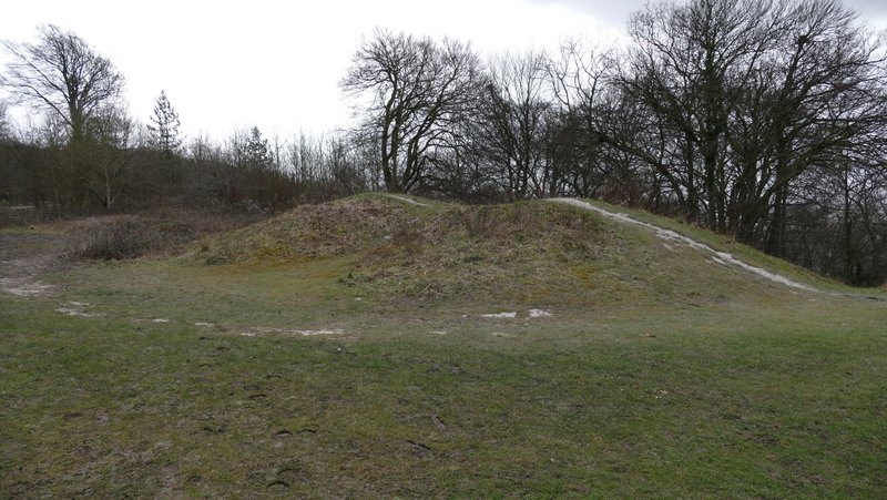
The Neolithic barrow on Whiteleaf Hill, thought to date back to 3,600BC
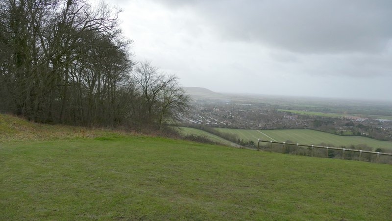
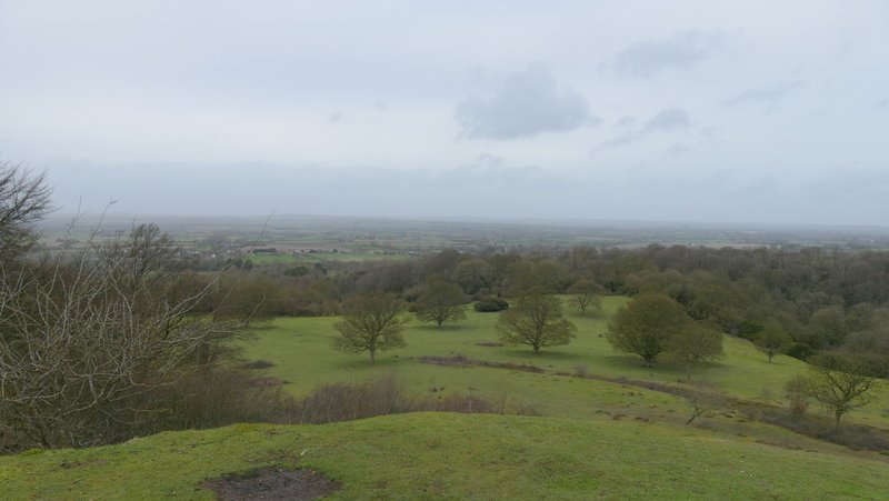
Weather not looking good over Princes Risborough and the Vale of Aylesbury
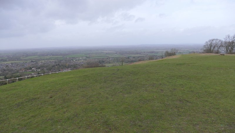
View from Whiteleaf Hill
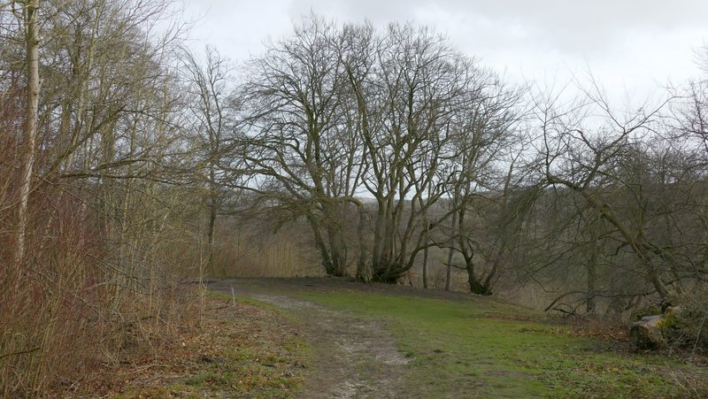
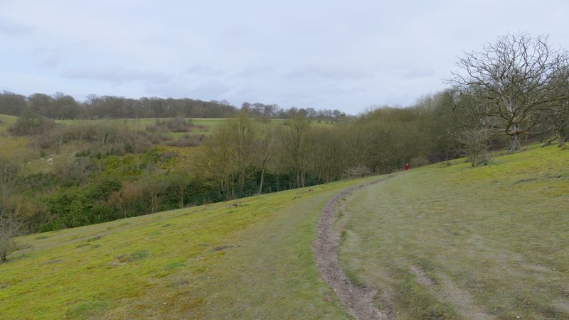
The Ridgeway descending from Whiteleaf Hill to Cadsden
The Ridgeway descending from Whiteleaf Hill to Cadsden
The Ridgeway descending from Whiteleaf Hill to Cadsden
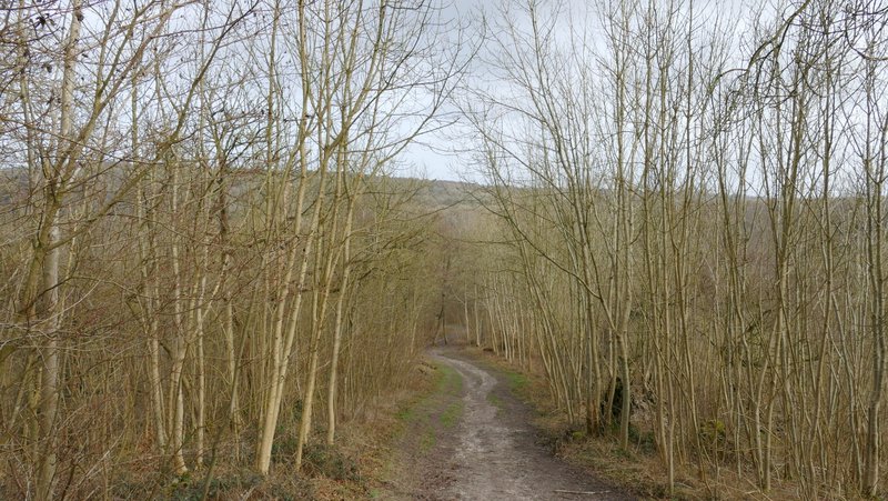
The Ridgeway descending from Whiteleaf Hill to Cadsden
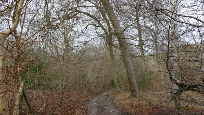
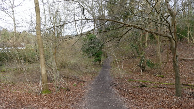
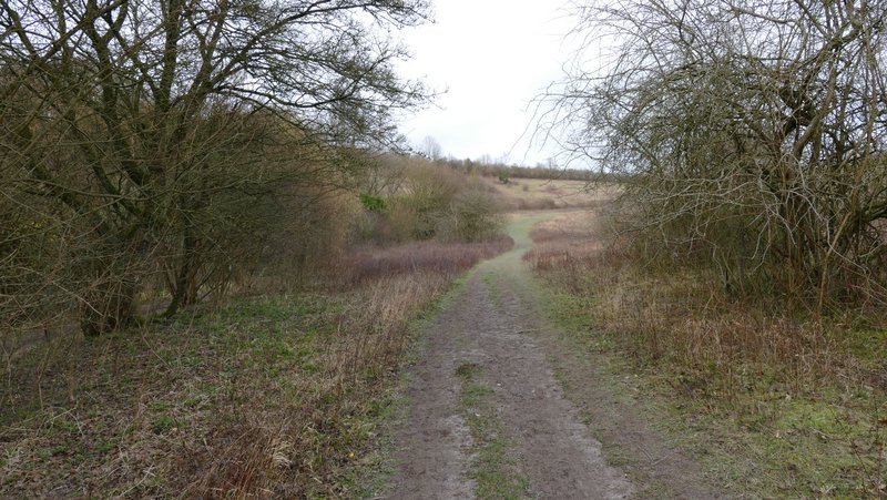
Today I took a path almost opposite where I met the road, rather than follow the Ridgeway that goes a few yards left down the road before turning right, as it seemed the safest option. This soon led to the Grangelands And Pulpit Hill Nature Reserve, where I turned left, soon rejoining the Ridgeway as it continued through the reserve. After going through a gate I continued straight on, following a wide path through the nature reserve and going past Pulpit Hill, up on my right. On eventually reaching a bridleway in a sunken lane (where the North Bucks Way starts on its 35 mile route to Wolverton), I went a few yards right and then went through a gate on the far side. Here I went up a short slope on the left to the top of Chequers Knap, with fine views out over the Vale of Aylesbury. I then went back down the same slope and continued on along the Ridgeway, now in a huge and irregularly shaped area of grass and scrub. On reaching a gate in a fence corner, the path (marked on the OS map as Cradle Footpath) then continued half-right across an empty pasture to another gate.
The path after crossing the road at Cadsden
The Grangelands and Pulpit Hill nature reserve
The Grangelands and Pulpit Hill nature reserve
Looking back towards Whiteleaf Hill from the Grangelands and Pulpit Hill Nature Reserve
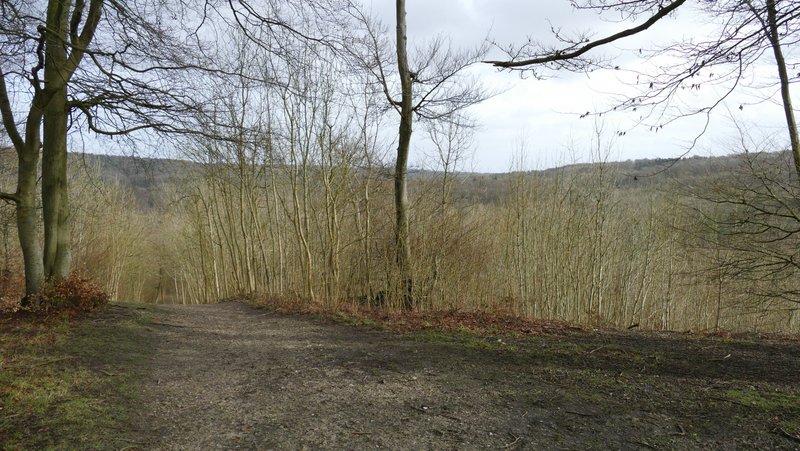
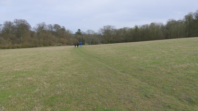
The Ridgeway continuing past Pulpit Hill
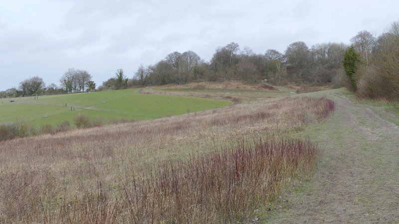
The Ridgeway continuing past Pulpit Hill
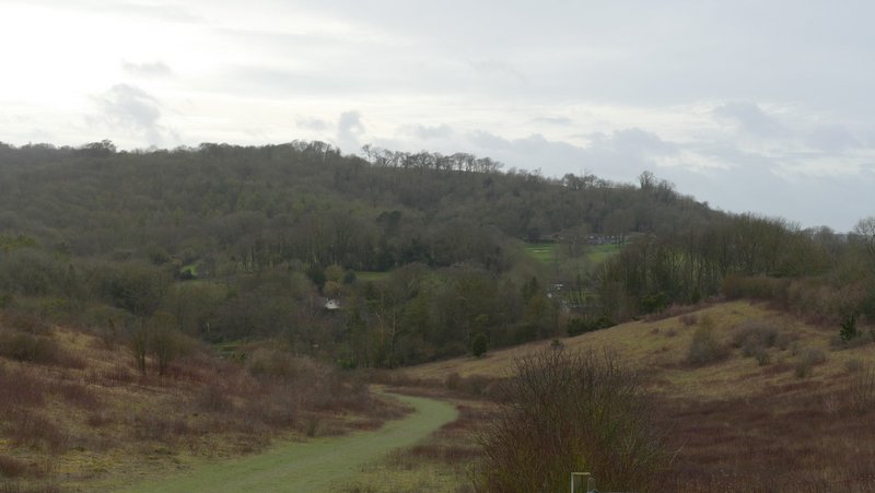
View from Chequers Knap
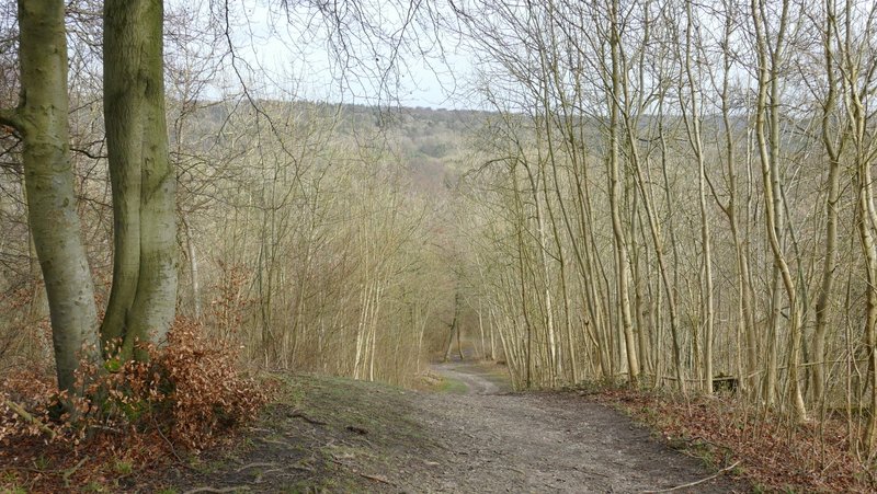
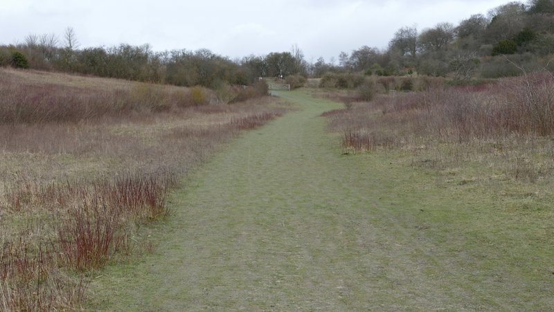
The Ridgeway just beyond Chequers Knap
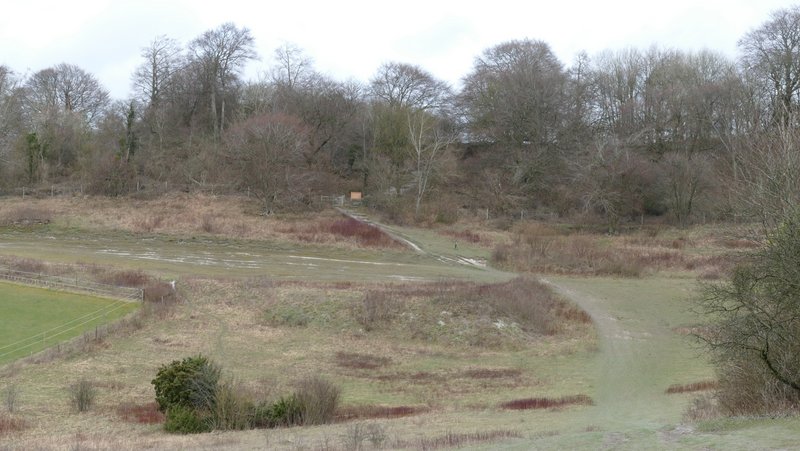
The Ridgeway crossing an empty pasture as it nears Chequers