Pete's Walks- West Wycombe and Bradenham (page 1 of 2)
If you are considering walking this route yourself, please see my disclaimer. You may also like to see these notes about the maps and GPX files.
PLEASE NOTE: The very large car park in West Wycombe used to be free. When I came here on 15th January 2022 I found it is now a pay and display car park, only free if you stay less than one hour and costing £4 if you stay more than 2 hours. I think you have to pay by credit card, I don't think the machine takes cash.
I did this short circular walk of about 4.2 miles on Saturday, 15th January 2022. I'm currently recovering from a very mild bout of covid-19 that I had at the end of October 2021. It didn't seem anything more than a bad cold really (I was extremely lucky, I know), but it has left me feeling rather weak. Since then I've only managed to do some short walks (up to an hour or so) along the local lanes here in Kensworth, but I've felt very tired afterwards. But now I hope to start doing some short walks elsewhere in the Chilterns, hopefully including some paths I've never walked before. This was the first such walk, and I managed to include four, possibly five, new paths.
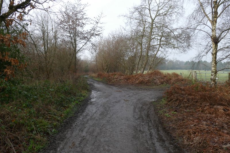
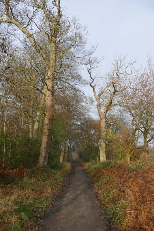
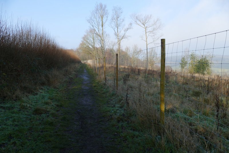
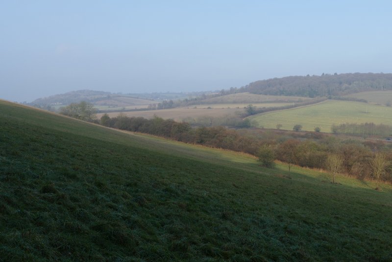
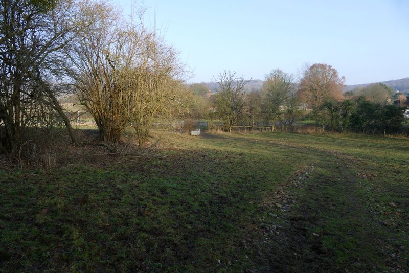
I parked in the large car park at West Wycombe (Grid Reference SU 826947) where I was dismayed to find that you now have to pay to park (if you stay longer than an hour) and that it was £4 for staying two hours or more. With hindsight I should have driven to Bradenham and used the small car park there, which I would pass on this route. I started walking about 12.30, having decided to start late to allow the morning fog to clear - in fact it was still quite misty as I set off from the car park. I took the path through the grass on the other side of the road from the car park, at the foot of West Wycombe Hill, but after a very short distance I turned left. This was the first of the paths on today's route that I'd not walked before, and it was soon passing through an area of Yew trees as it gradually climbed up the western side of West Wycombe Hill. I kept right at a fork where the left fork went downhill. I expected to come to another fork shown on the OS map (where I could have taken either option) but never saw it and so eventually just came to a path T-junction. Here I turned left along a path going north from the car park behind the church on West Wycombe Hill, a path I've used many times before.

The start of the walk, at the foot of West Wycombe Hill - I soon turned left, about where the muddy paths seem to disappear
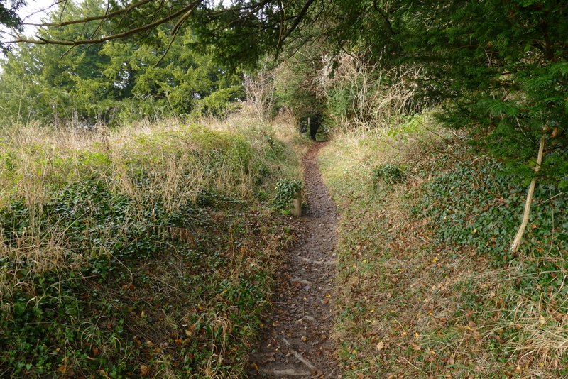
The path rising along the western side of West Wycombe Hill (my first new path of the day)
The path rising along the western side of West Wycombe Hill
The path rising along the western side of West Wycombe Hill
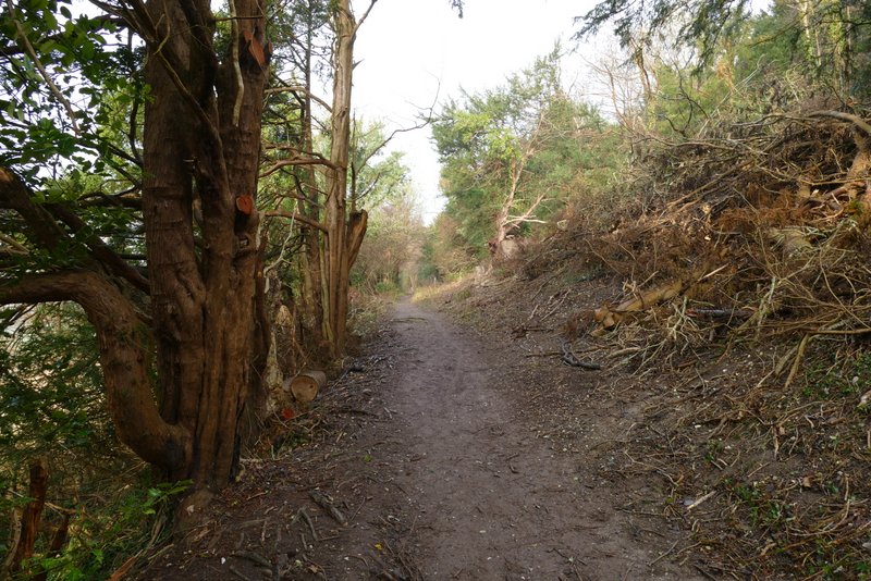
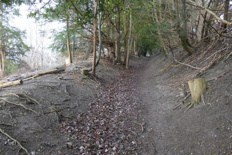
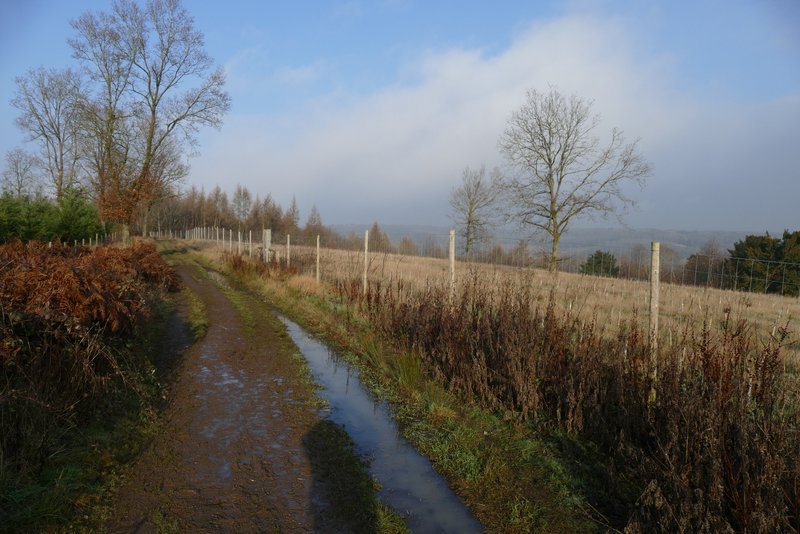
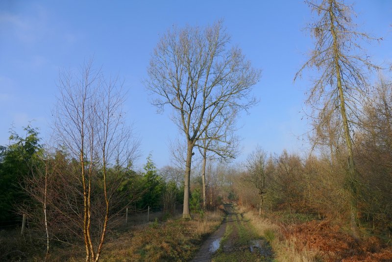
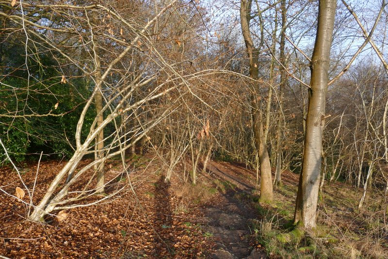
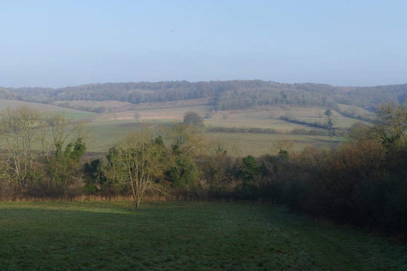
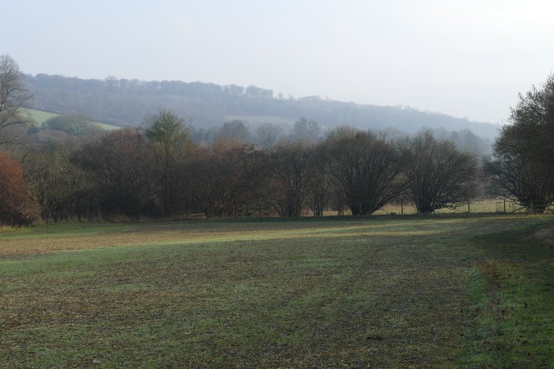
The path runs along the top of a ridge going north (or slightly west of north), and it was soon running through part of Hearnton Wood. After a while I passed a couple of fields (surrounded by the wood) on my right. Shortly after these ended, and during a brief spell of sunshine, I reached an area of the wood on my right that had been felled a few years ago, giving me a rather misty view across the valley on that side. There was then another short section with the wood on both sides, and then another felled section on the right. Roughly where the felled area ended I reached Nobles Farm, on my left.
The path going north from West Wycombe Hill
TThe path going north from West Wycombe Hill
The path going north from West Wycombe Hill
The path going north from West Wycombe Hill.
The path going north from West Wycombe Hill
The path going north from West Wycombe Hill
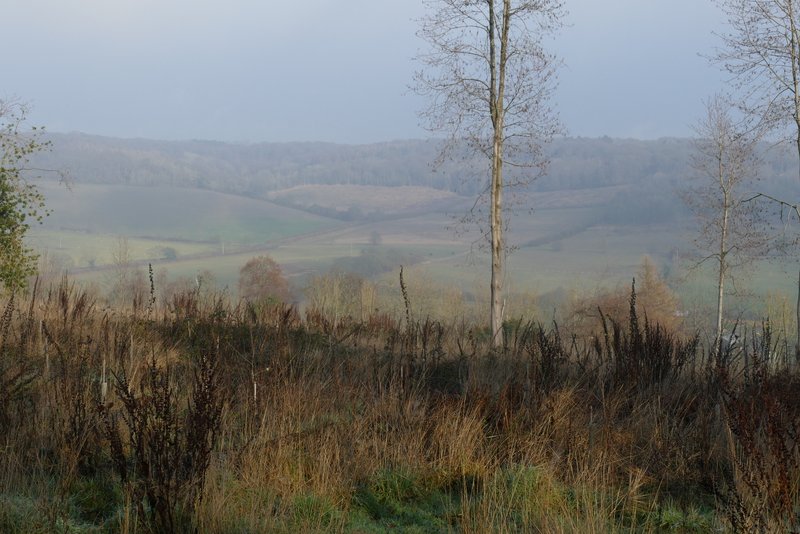
View right from the path going north from West Wycombe Hill
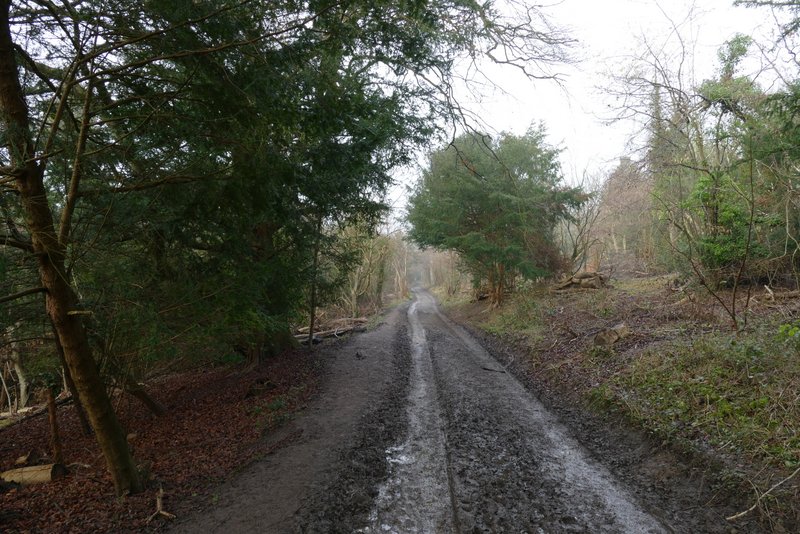
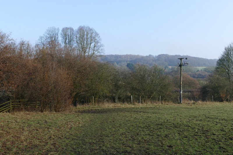
I turned right opposite Nobles Farm, taking another path I'd not walked before. This entered the trees and started off as if it was going to go straight down the hillside to the valley, but after a short distance it turned slightly left and continued at a much gentler gradient. On leaving the wood, it followed the edge of a large meadow, still gently downhill. In the field corner the path merged with another one coming in sharply from the left. I was now back on familiar ground as the path went through a hedgerow and continued along the edge of another field. In the next field, the path immediately turned left. In the corner of this field it went under a railway line, then crossed another field to reach the A4010 road. I crossed over, went a few yards to the right and then turned left along a road into Bradenham.
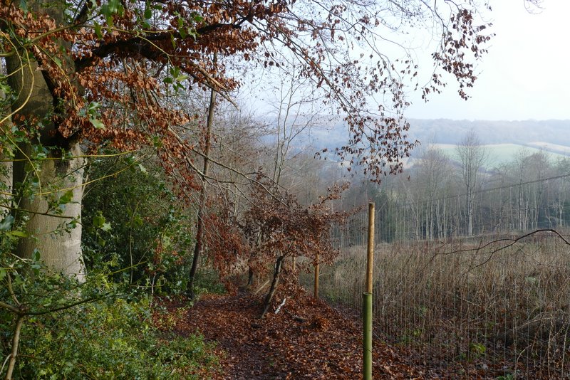
The path after I turned right at Nobles Farm (my second new path of the day)
The path after I turned right at Nobles Farm
View left from the path after I turned right at Nobles Farm, just after it leaves the wood
The path after I turned right at Nobles Farm - in the field corner I joined a path that I regularly take to reach Bradenham
The path to Bradenham, continuing along the edge of the next field
The path to Bradenham, after it turns left in the following field
The path to Bradenham, after going under the railway