Pete's Walks- West Wycombe and Bradenham (page 2 of 2)
If you are considering walking this route yourself, please see my disclaimer. You may also like to see these notes about the maps and GPX files.
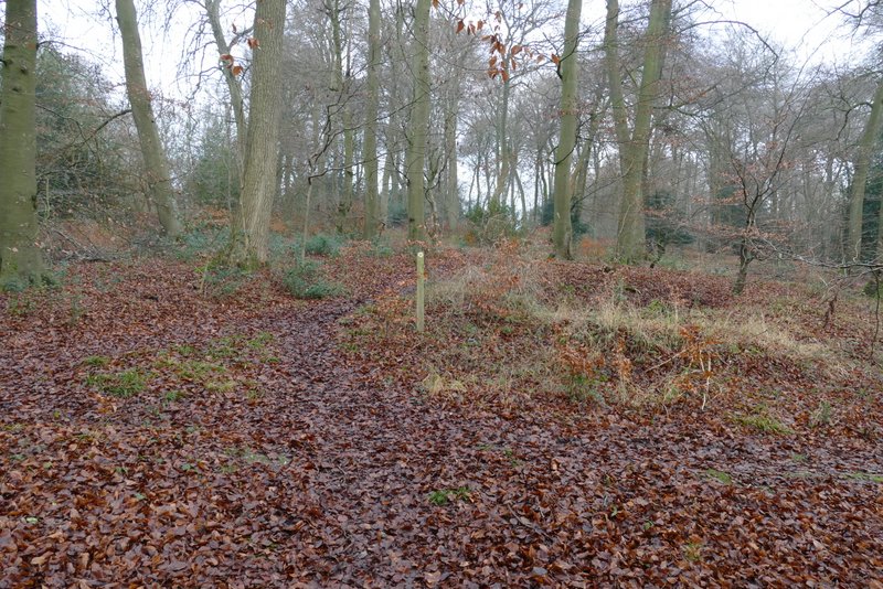
I soon reached the large village green, where I took a path going half-right across part of the green to a bend in a drive or track, where I continued in the same direction. I stopped on a bench by the small car park here to eat some sandwiches, then continued along the drive, which was soon following the boundary wall of the Manor House on my left. Where the drive turned left, I took a footpath going half-right, gently uphill through Pimlock's Wood - this was the third path today that I'd not walked before. After going past some Holly bushes, the path passed through an area of Beech trees and then levelled out as it ran close to some fields on the left (Bradenham Hill Farm was on the far side of the fields). I went straight on when a path went off to the right (I could just as easily have gone right, the two paths come back together at the next junction). The OS Map shows that somewhere just after this junction I moved from Pimlock's Wood to Kit's Wood. On reaching the next path junction I went straight on (the other option was very sharply left), now back on a familiar path and still in Kit's Wood. I followed this path for about another half-mile through the wood, heading south and then south-west until I came to a path T-junction.
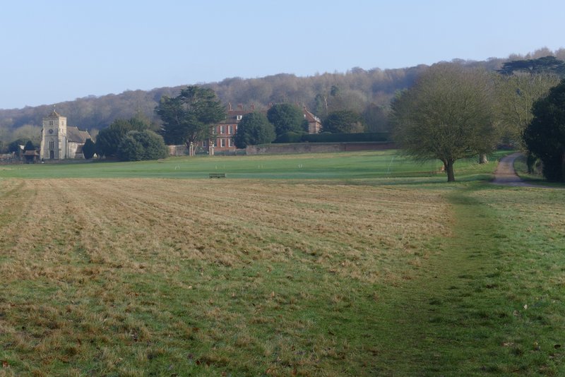
The path crossing the green at Bradenham - I continued straight on at its end, along the drive
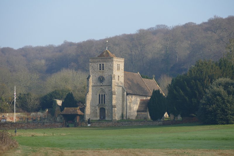
Bradenham church
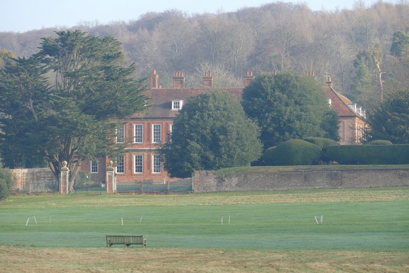
Bradenham Manor House
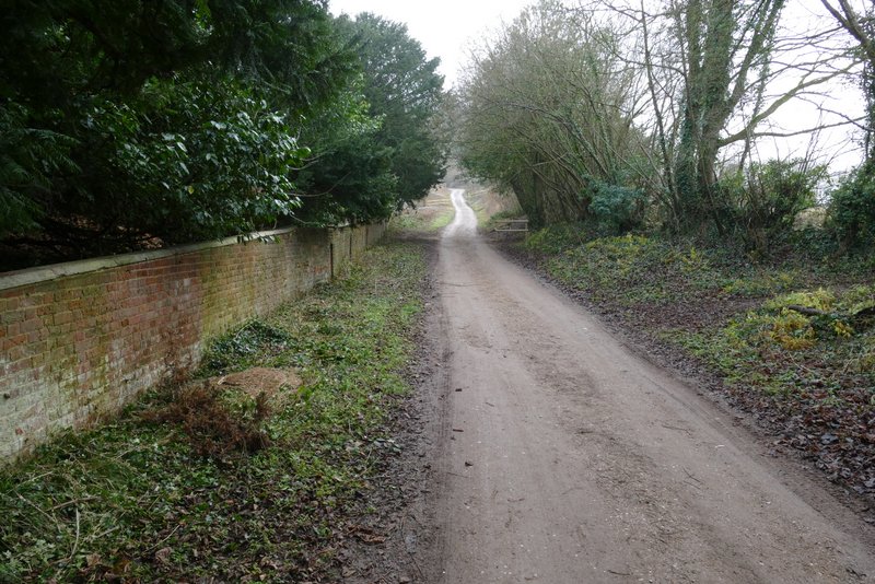
The drive continuing to the left of the Manor House
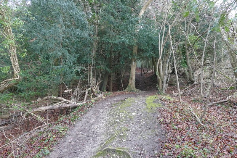
The path after I turned half-right from the corner of the drive (my third new path of the day)
The path continuing through Pimlock's Wood
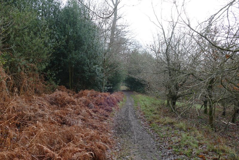
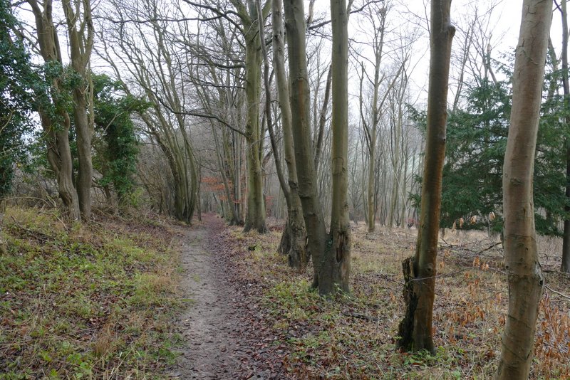
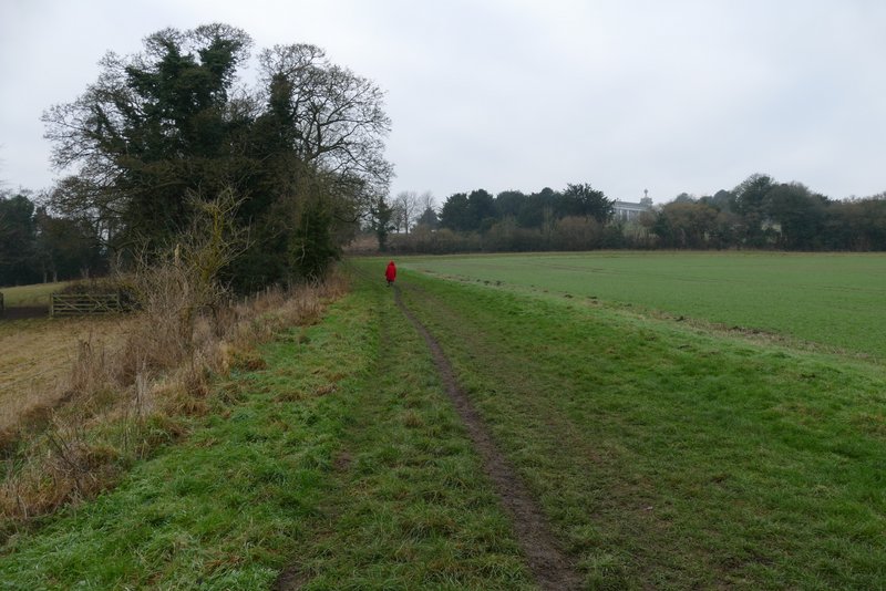
The path continuing through Pimlock's Wood, close to fields at Bradenham Hill Farm
The same path, now in Kit's Wood
The same path, now in Kit's Wood
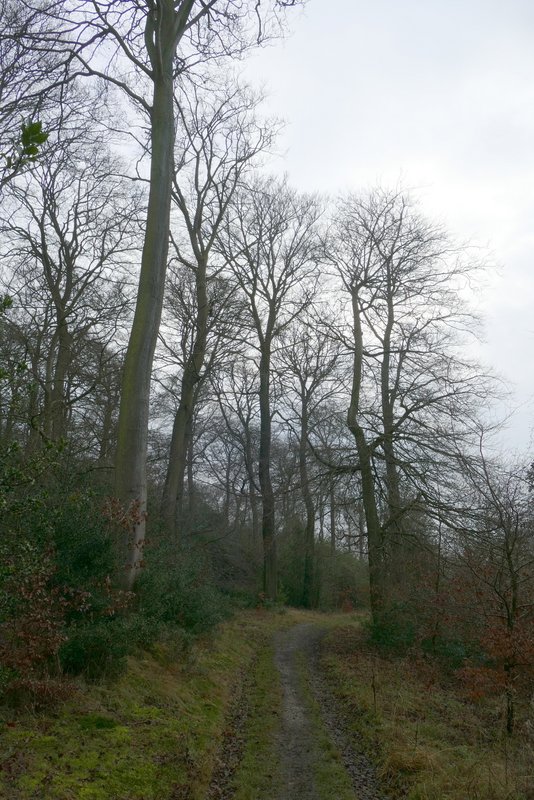
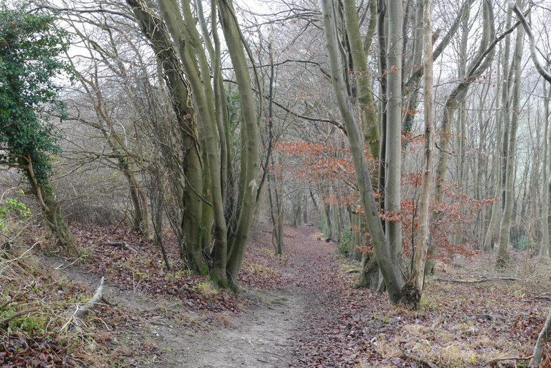
The path in Kit's Wood after I went straight on at a path junction
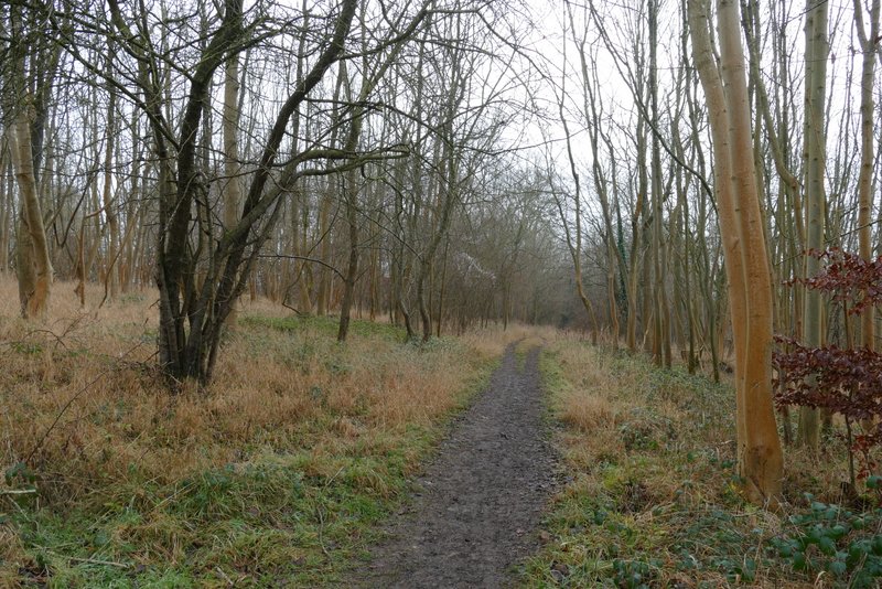
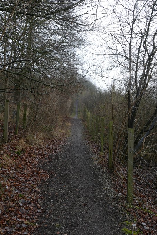
The path in Kit's Wood
The path in Kit's Wood
The path in Kit's Wood
The path in Kit's Wood
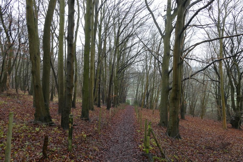
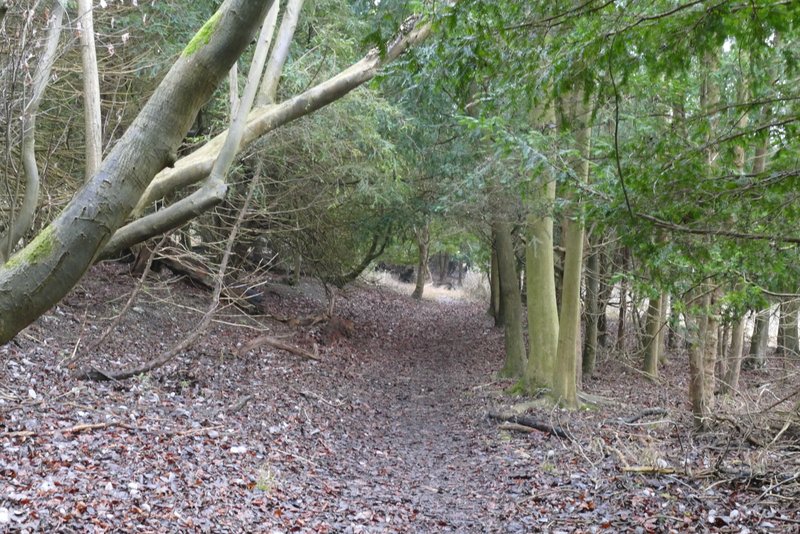
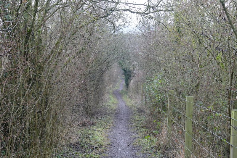
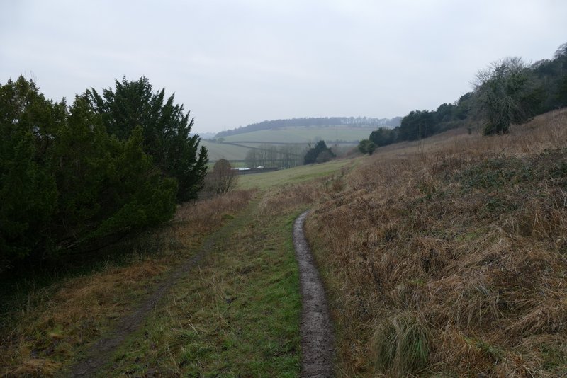
The path in Kit's Wood, approaching the path T-junction
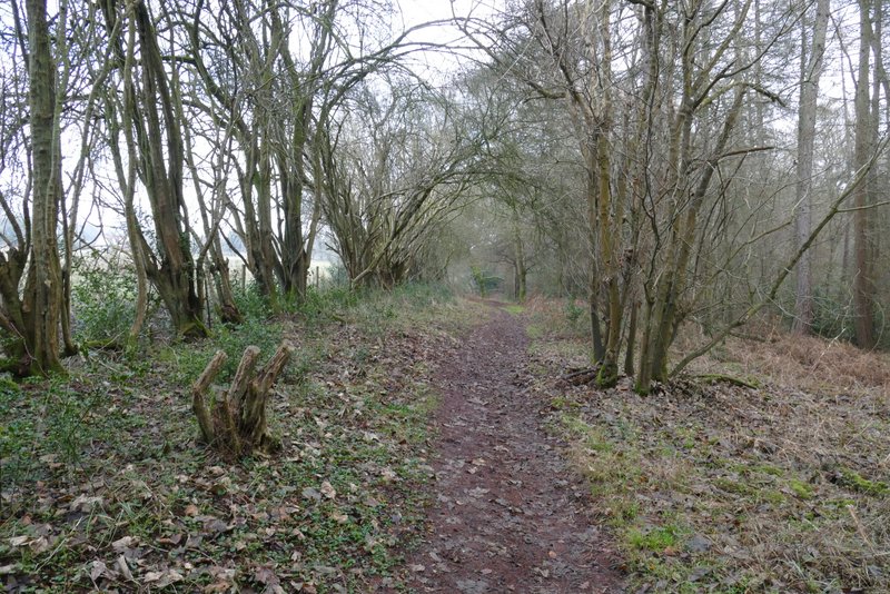
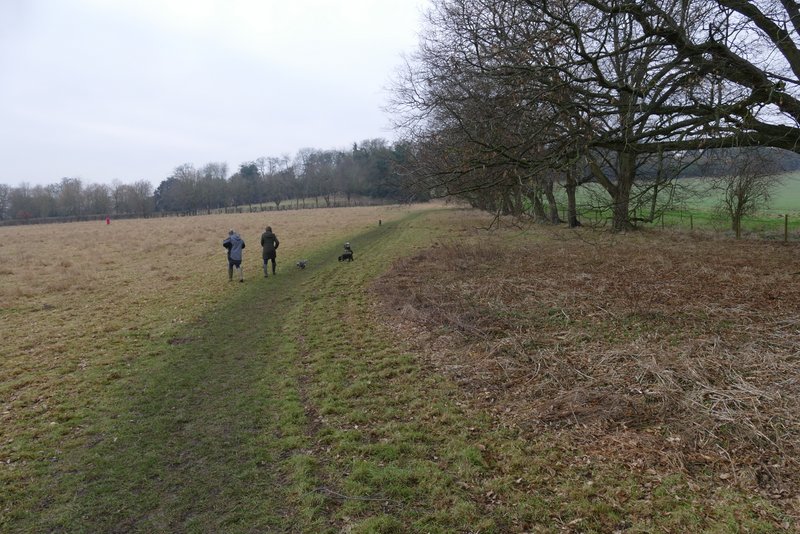
I turned left here, once more on what was a new path for me (I've always gone right at the T-junction previously). This path runs parallel to a railway line, just yards to the right. After a few hundred yards I reached a path junction where I turned right, passing under a railway bridge and then going half-left across a field to reach the A4010 road again.
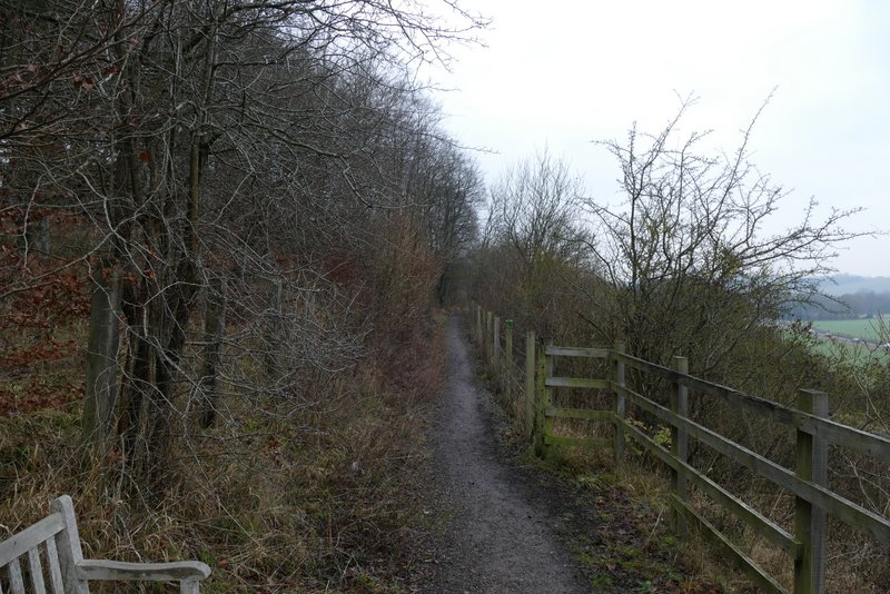
Start of the section along the path parallel to the railway line, to my right (my fourth new path of the day)
The path parallel to the railway line
The path parallel to the railway line
The path approaching the A4010 road, after I turned right and went under the railway
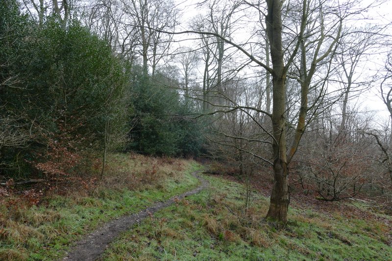
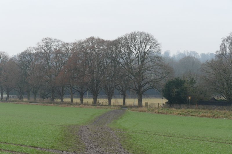
Across the road, I took a path that ran along the right edge of a meadow (another path went half-left here) - I'm pretty sure this was another new path for me but I'm not 100% certain. After passing a garden and then a row of trees the path went through a metal kissing-gate to switch to the other side of the field boundary. On reaching a lane (going up to St Lawrence's church which I could see on the hilltop above me), I turned left and followed the lane as it immediately turned right. After passing the entrance to the Hellfire Caves on my right, I took a path forking right across the bottom of West Wycombe Hill. I kept right where this path forked after a few yards, then turned left at a path junction to reach the road opposite the car park.
The path on the other side of the A4010 (I think this was my fifth new path of the day, but I'm not 100% sure, I have a vague feeling I may have walked it once before)
The path on the other side of the A4010
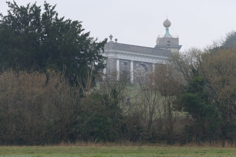
Looking up at the Dashwood Mausoleum and St Lawrence's church on West Wycombe Hill
The path back to the car park (roughly in the centre of the photo, at the end of the wall) on West Wycombe Hill - this is just after the narrow fork in the path where I kept right
I enjoyed this short walk, but mainly because it was just nice to see somewhere different after having stuck to occasional walks in my home village over the last two or three months. It was good to walk a few paths I'd not used before, especially as I'm not likely to walk them again (except possibly the last one that took me back into West Wycombe) - it's not that the paths were at all unpleasant, it's just that there are better alternatives in my opinion (either with better views or linking up more conveniently with other paths I use).
Unfortunately I felt very tired after this walk, and still felt very weak a couple of days later. It's obviously going to take me some time to get over my mild brush with covid-19. But hopefully I'll manage a few more short walks like this one in coming weeks, and gradually start to do longer ones.